Dinkey Peak
November 24, 2015
1117m
North Shore Mountains, BC
There’s more than a handful of small forested summits accessing from the winding Mt. Seymour Parkway and Dinkey Peak is the shortest among those. It’s so short that you wouldn’t even feel like having warmed-up yet and the next thing you realize is that you’re already on the summit. And except for a so-so lookout that’s partway along the trail, the view is also largely obscured by the trees. By comparison, the nearby Dog Mountain is a much-better viewpoint (although actually lower in elevation). My plan was to watch sunset on Dog Mountain but tagging Dinkey Peak along the way making a natural loop. I left home about an hour after lunch time and started the hike at almost 3 pm.

Dinkey Peak to Dog Mountain hiking route. GPX DL
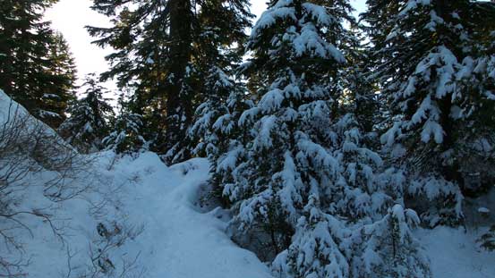
Despite the lowliness of this objective I still did my homework. Apparently there’re quite a few options to get up this summit and the one I took was a signed “Dinkey Peak Trail” that branches off the main Mt. Seymour Trail about 10-15 minutes or so from the parking lot. There’s already fair amount of snow coverage but the snowshoes weren’t required thank to the previous hikers packing down the tracks. The trail winds around a few rocky bluffs and soon enough I made to the first lookout – some views of the city but nothing really exciting…
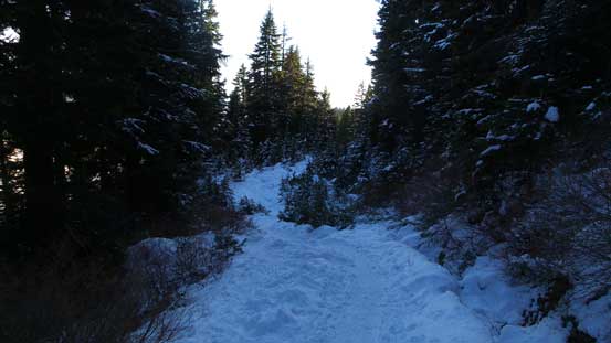
Hiking up the packed Seymour Trail

Arriving at the first lookout. The parking lot is visible too.
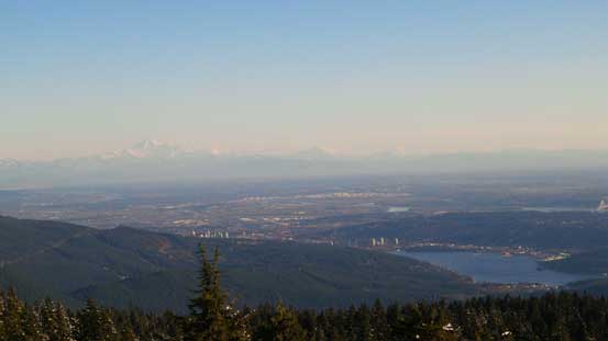
The typical view of the Lower Mainland, with Mt. Baker on the horizon

That obvious bridge is Port Mann Bridge (It charges you 3 bucks each time you pass it on Hwy 1)…

The late-afternoon view of Mt. Baker
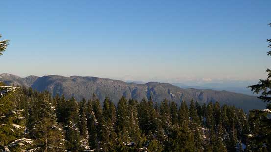
The forested Eagle Mountain / Cypress Mountain area east of Indian Arm
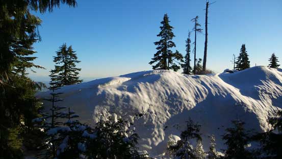
After taking a few pictures I resumed the ascent. Again, following the tracks eliminated any route-finding for me and in short time I arrived at the actual summit. It was forested so I couldn’t see much except for the trees…
Looking back at the first lookout
The Dinkey Peak Trail

A glimpse of Pump Peak (Seymour 1st peak)
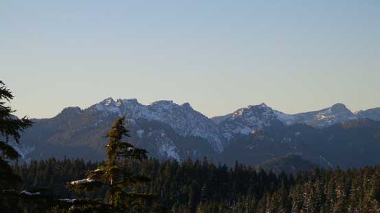
Cathedral Mountain (R) pokes behind Suicide Bluff
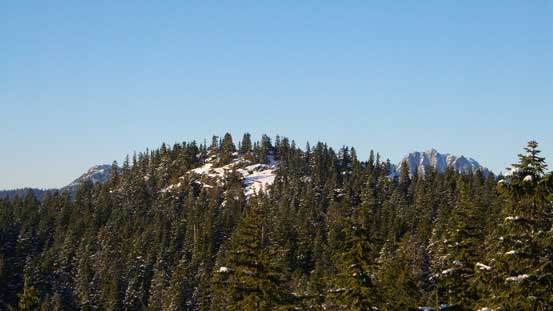
Could see some rarely climbed peaks behind Crown Mountain

Me on the summit of Dinkey Peak
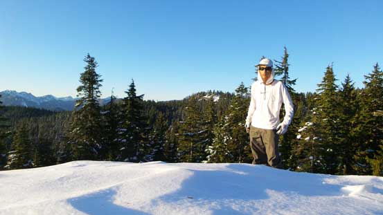
Another picture of me on the summit
I didn’t linger any longer than necessary as I had to get to Dog Mountain before sunset, and the time was pressing on a bit faster than I thought. I continued along the trail down the ‘backside’ of Dinkey Peak and descended for quite a bit before joining the popular Dog Mountain Trail at the ‘First Lake’. And then it’s time to ascend Dog Mountain.
