Boom Mountain
January 31, 2015
2758m
Kootenay National Park, AB/BC
Boom Mountain is one of the few objectives that has the combination of these facts but still doesn’t seem to raise much interest in the scrambling community. It’s reasonably close to Calgary, it can be done as a day-trip and it doesn’t involve much of technical difficulties. For a long while the only route information available on the internet was from Rick Collier’s ascent back in 1988, and that lasted until the winter of 2013 when Golden Scramblers made a successful “exploratory” ascent on skis. Since then a couple friends of mine had done the same route, with Vern on skis, Raff in summer and Brandon Boulier’s CSMC group in shoulder season.
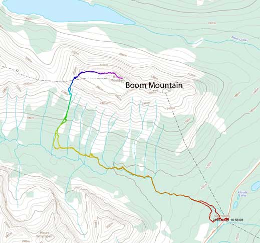
Boom Mountain ski/snowshoe ascent route. GPX DL
The forecast for this past Saturday was somewhat interesting. The weather was bad (scattered flurries), road condition was poor (“red” on AMA Road Report), but avalanche condition was low/low/low for Banff/Yoho. We knew based on experience that good stability like this rarely happens in winter months, so once it does happen we just have to make use of it. The ascent of Boom Mountain would involve complex avalanche terrain but doesn’t have challenging navigation on open terrain, in such way that we should be able to make the summit even in a full-on white-out. Ben did an excellent job driving down Highway 2 in downright miserable condition and we arrived in Canmore by midnight. There was an additional 5-10 cm snowfall overnight, making even more interesting driving condition on Saturday morning, but we managed to get to the trail-head by Vermilion Pass with no incidence.
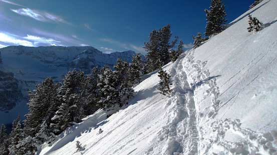
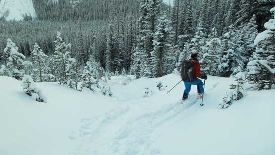
This’s also our first trip mixing skiing and snowshoeing. The bushwhacking on Boom Mountain is certainly not “classic skiing” so I followed my heart to use snowshoes. Right at the start we got lost briefly by taking a wrong set of ski tracks, but thankfully we realized our mistake not far up and got back on track using my GPS. The weather was “scattered flurries” just as forecasted, but we were able to see the summit so visibility wasn’t that bad. The Chickadee Valley itself is certainly classic ski terrain and the correct set of tracks was pretty easy to follow.
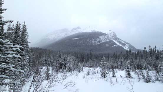
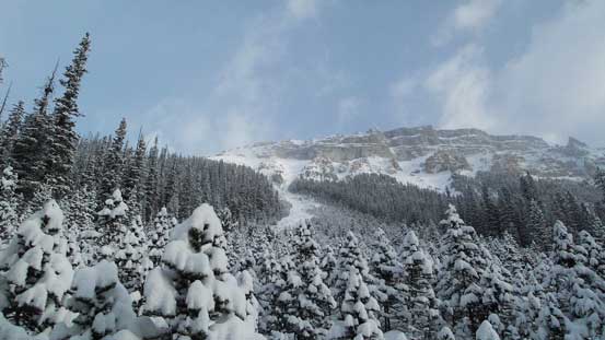
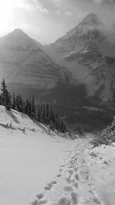
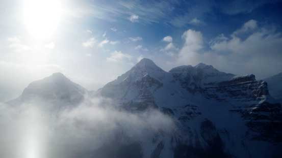
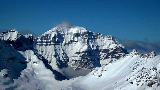
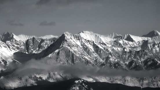
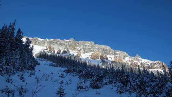
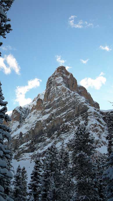
Boom Mountain view from near the parking lot
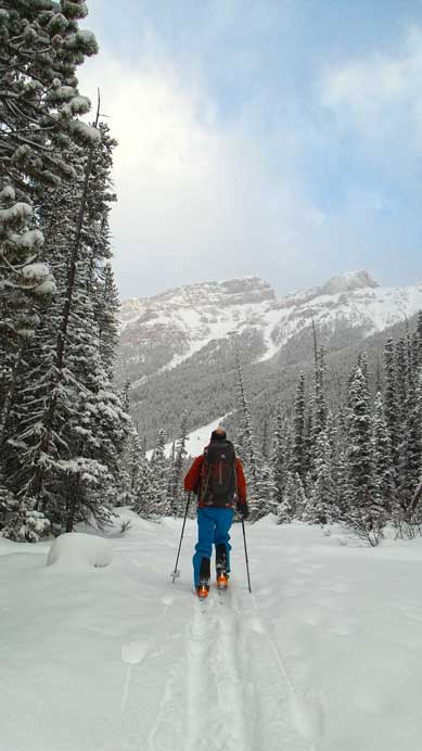
Ben skiing in the Chickadee Valley

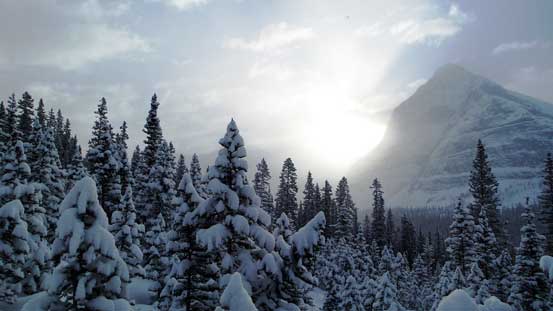
Typical terrain in this valley
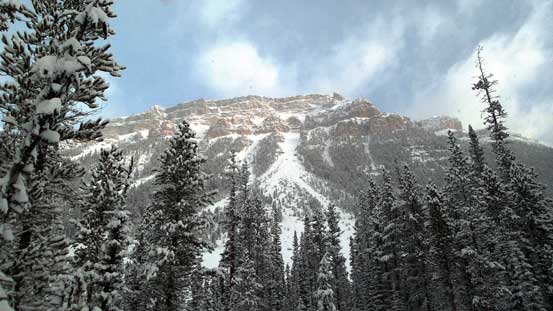
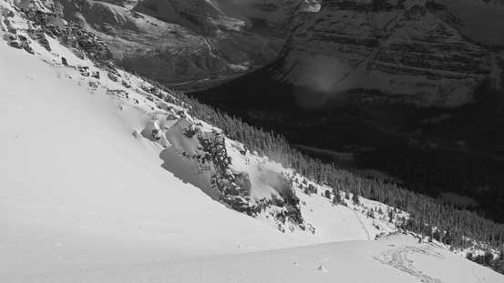
Here’s the first major slide path coming down from Boom Mountain
In about 1.5 hours we made to the base of the westmost avalanche gully that comes down from Boom Mountain. Here we had two route choices. The safer route goes up the steep trees on climber’s left side of the slide path, and the faster but more aggressive line tackles the avalanche gully itself. We picked the faster route because the low avalanche hazard combined with the fact that gully had already slid. After bushwhacking through krumholtz (the “Christmas trees”) we arrived at the middle section of this gully and it was filled in with debris. To keep our snowshoes/skis on we were forced to ascend the steep trees on climber’s right but even that skinning up was increasingly difficult. Not far up we went into the gully again, and this time we removed our snowshoes and skis. The avalanche debris offered some “staircase walk” and it was much faster. At this point the weather started to improve with patches of blue sky appearing straight above us.
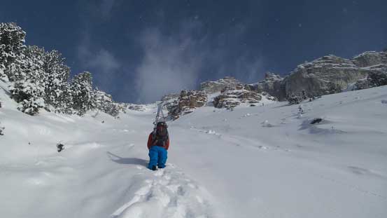
Arrived at the base of our ascending gully. Note the bush ahead…
The sky is gradually clearing up.
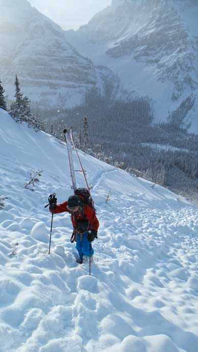
Ben boot-packing up the avalanche debris

Looking up…
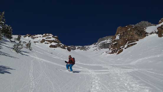
We walked up the debris “staircase” to as far as we could (near treeline) before post-holing in deep snow. This’s about the place where we had to exit the gully on climber’s left. Here’s also when things started to become interesting. The terrain was too steep (35+ degrees) and too crusty for Ben to skin up, but post-holing was waist deep. We certainly did not expect such complex terrain at and just above treeline. Even on my Lightning Ascent snowshoes I had to make some large switchbacks and even that it barely worked. I thought Ben had to fore sure turn around but I’m glad he didn’t. He managed to wallow/swim through a waist deep line to intersect the “scree zone”. I thought about ditching snowshoes once hitting the scree but decided to carry them, and I made a good call. From here to the summit plateau there were numerous rock bands on increasingly steep terrain, and all of them had accumulated deep snow (some areas chest deep). I had to strap my ‘shoes back on for at least 3 times. Tedious, arduous and frustrating, but I was slowly getting there. Ben was also determined to make the summit so he kept wallowing through the waist-to-chest deep snow, grabbing whatever he could to pull himself up against gravity…
Higher up we encountered deep snow.
Looking down the avalanche gully

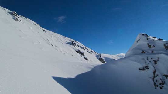
Exiting the gully. Here’s the terrain just above treeline.

Looking down from just above treeline
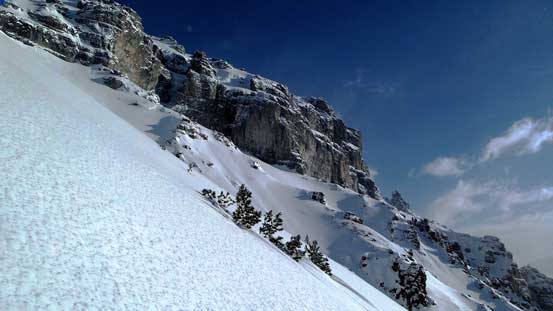
Big terrain… Stable snowpack is a must!
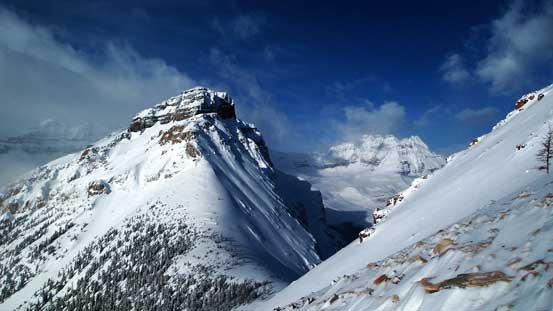
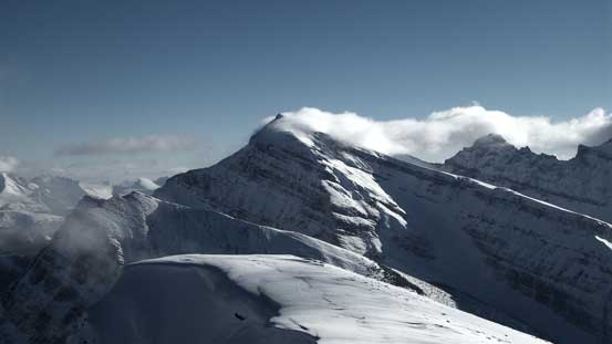
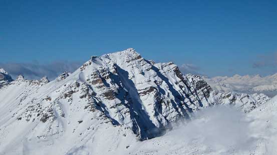
Weather is really clearing up now! The peak in foreground is nicknamed “Chickadee Peak”.

Hitting scree now, but there’d be more deep snow coming up…
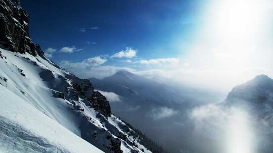
Gorgeous view was our motivation of wallowing up.
Mt. Whymper looks increasingly impressive.
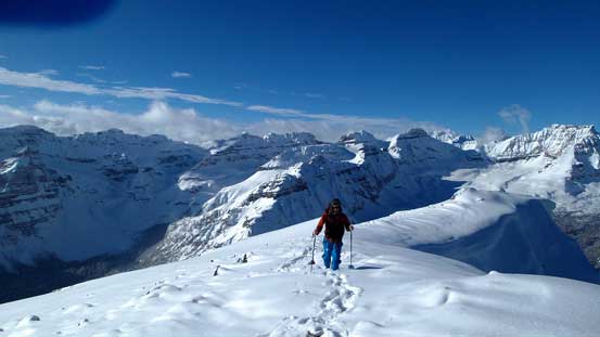
The last bit to the summit plateau.
The final push to the summit was technically easy, but again, involved lots of post-holing. And for the most frustrating, it was extremely foreshortened. At this point we were both very beat and the last bit along the ridge seemed to drag on forever, but thankfully we all made to the top. And for the reward, sky had completely cleared up by now and we were treated with bluebird view towards all directions!

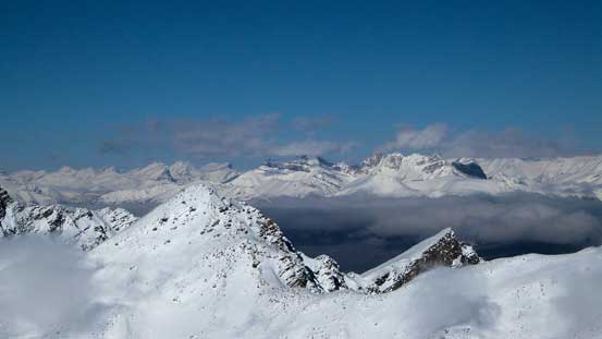
Unfortunately this view is very foreshortened. Still quite a ways to go.
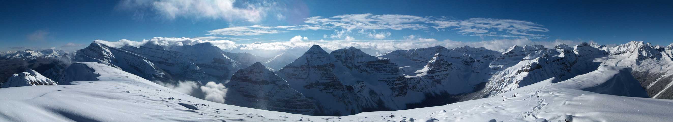
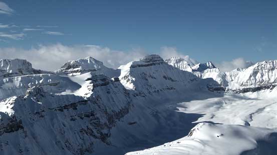
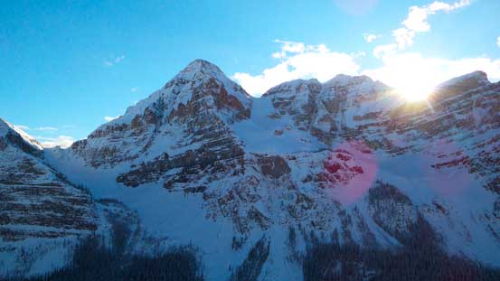
Summit Panorama looking into Kootenay Park. Click to view large size.

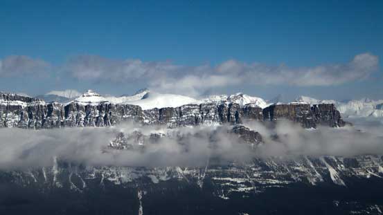
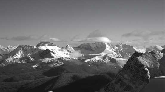
Summit Panorama looking into Banff Park. Click to view large size.
Storm Mountain – horrible scree bash up its scramble route.
Chimney Peak left of center – rarely ascended.
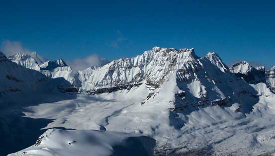
The unusual view of Quadra Mountain and Bident Mountain
The classic view of Castle Mountain Massive
Pilot Mountain and Mt. Brett on Massive Range

Some big peaks showing up in the distance – possibly Deltaform Mountain
Mt. Temple the majesty.
Mt. Bell – looks like it’s also doable in winter with stable snowpack
Big peaks in the front range including Willingdon, Richardson, Pika, Ptarmigan

Protection Mountain Massive. It’s summit is also called Television Peak
A zoomed-in view of Eisenhower Tower. This summer, hopefully…
Mt. Ishbel – a sexy-looking peak but a tedious scramble
Ben approaching the summit
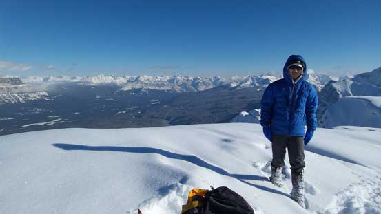
Me on the summit
The descent was much faster since the gravity was on our side this time, assisting us wallowing down the snow. It didn’t take us too long to get back to where Ben ditched his skis. I strapped my ‘shoes on, but immediately realized the steep trees would be impossible to simply plunge down given the current condition. It was kinda like on Grizzly Mountain last year, the base was too hard, the terrain was too steep and the top layer was too shallow making snowshoeing very slippery. Of course the avi debris and the steep bush would be awful for Ben too. My solution was getting into the main gully, switching snowshoes to crampons and walking down the gully entire way.
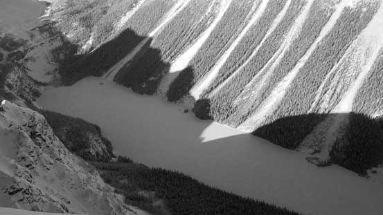
There’s a great viewpoint of Boom Lake from the summit ridge
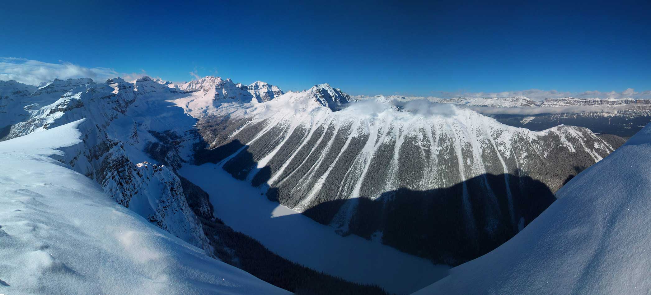
A wide-angle panorama of Boom Lake. Click to view large size.
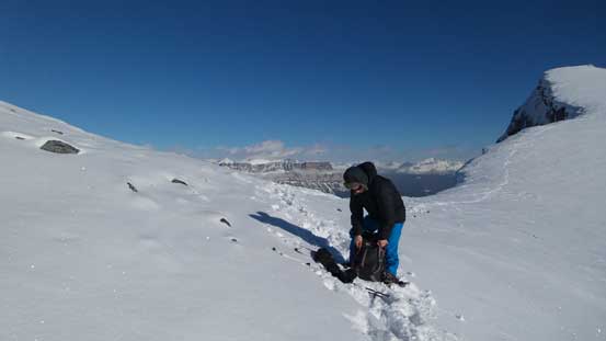
Ben taking a short break
Down-hill wallowing was much easier!

Negotiating some rock bands
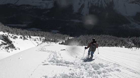
Descending towards treeline
Huge terrain around
Into the gully. I’d soon switch to crampons

Here’s our gully!
Ben skiing into the gully
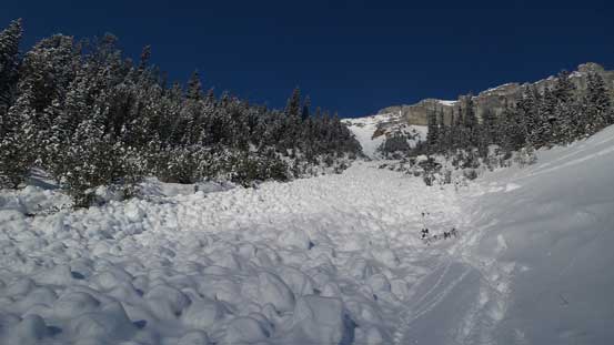
Oh the debris… This reminded me Mt. Wilson!
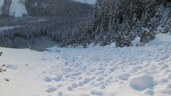
More debris. With crampons I just walked down on top of them.
Sun setting behind Mt. Whymper
Looking back at our objective
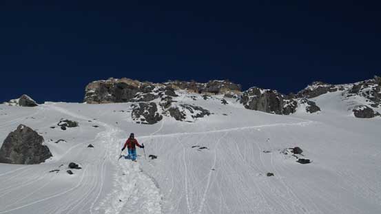
Lower down skiing improved
Mt. Whymper from valley floor. Looks like I’ll have to bag it…
After a long while we both managed to get down safely, and the final return along Chickadee Valley would be a pleasant finish for this tough day. Of course Ben would be much faster so he went ahead to warm up the car. I arrived at the parking lot shortly after and got some interesting sunset view at Vermilion Pass.
At the end, we were both very glad we didn’t chicken-out at the last minute given the weather and road condition, and it was a very rewarding day in the mountains. It was a tough day though and our round trip time was about 9 hours. That was about 2 hours slower than expected due to various reasons. Speaking this objective, it involves serious avalanche terrain at and just above treeline, so you want either a bomber snowpack or a wind-blown alpine. You do also have the option to ascend/descend the steep trees so you don’t have to get into that avalanche slide path. And, unless you’re an experienced skiers or you’re very confident on the skiing quality, snowshoeing will be the most efficient way, both energy and time wise.
