Mount Hardy
September 30, 2026
2468m
North Cascades Highway, WA
Mt. Hardy is perhaps better known as one of the low hanging fruits of the “Top 200” peaks in Washington and the standard route is a direct bash up the south slopes from Highway 20. There’s no magic about this route as it’s as simple as off-trail plodding with some minor class 2 scrambling near the top. This objective is also often tagged together with Golden Horn and Tower Mountain to make a bigger outing, but itself can be reserved as a half-day trip. I chose the latter as I figured Mt. Hardy could be easily done as a “before work exercise” despite the long drive to the vicinity of Washington Pass and back.
Elise wanted to get out on this Wednesday which happened to be a stat holiday for the Canadians. I unfortunately don’t go with the normal 9/5 itinerary so I still needed to work in the afternoon and evening but I managed to push the work back by a few hours. I only needed to be back to White Rock no later than 5 pm and that opened up some objectives. Originally we were thinking to do something bigger but then we weren’t very keen on killing the sleeping hours, and I was also concerning about the lingering fresh snow. It turned out that most, if not all of the snow had already melted but there’s no way to know without actually being in the mountains ourselves. Tuesday had a full day of downpouring so no one would be out there to report anything back. I convinced Elise to just do Mt. Hardy and Elise invited Lina in. The three of us left White Rock at 8:30 pm in the previous day and car-camped at Easy Pass trail-head. There’s no point in rushing so we leisurely got up at 7 am and drove to the pull-out by Swamp Creek. It was still overcast so we couldn’t see the route itself, so the decision was still made to bring ice axes and crampons. They turned out to be training weight, of course. At least I decided to just wear the trail runners and that’s definitely the right call.
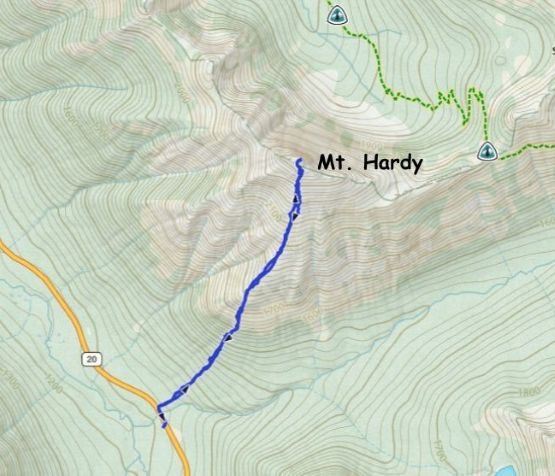
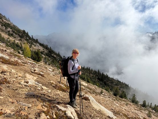
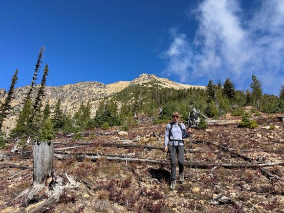
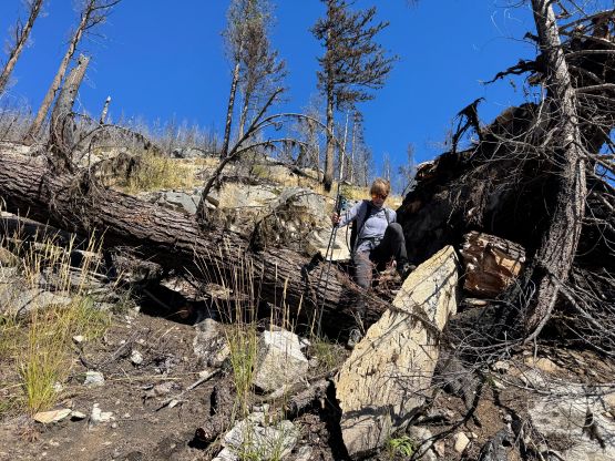
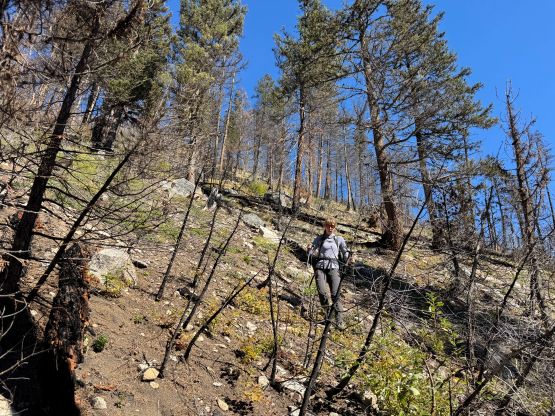
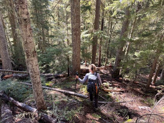
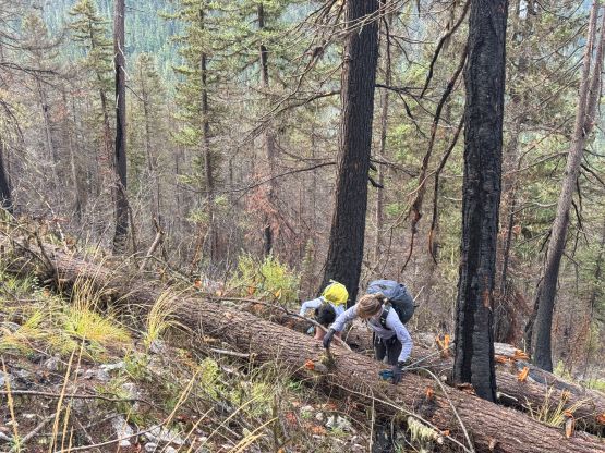
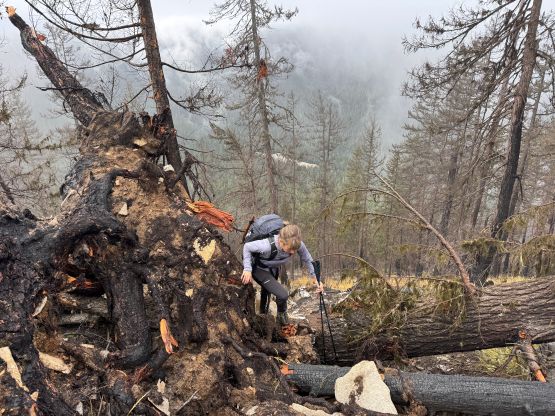
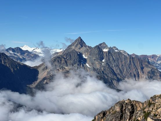
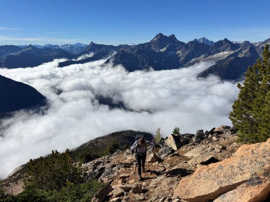
For some reasons there weren’t a ton of “beta” out there about this direct route as most of the recent trip reports on peakbagger.com were from fast hikers and trail-runners doing the multi-peak link-up. I did manage to obtain a GPX track for the route and it was more or less similar to what I would do without any “beta”. We walked back to the west side of Swamp Creek and dived right into the forest. To my surprise there was hardly any notable bushwhacking. There’s no trail to speak of whatsoever, but the bearing was straightforward as all we needed was to go straight the fuck up these slopes. Higher up we encountered some minor pick-up sticks problems in the insanely steep burnt forest so I led us veering climber’s right onto the next rib. We encountered some scrambling on slabby terrain but those were avoidable by traversing lower. At this point we were still in the clouds but the clouds were definitely thinning. Based on my experience I knew we would be breaking through the inversion layer. I was correct, but the process took longer than expected. The clouds were also lifting together with us but we were still a tad bit faster.
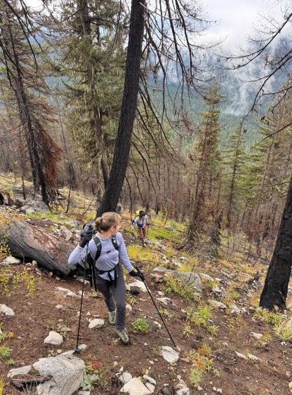
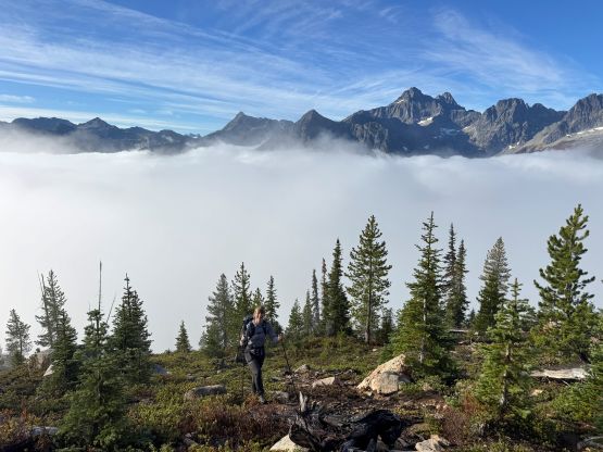
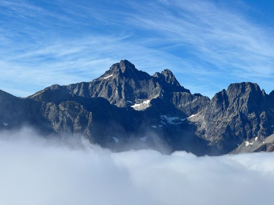
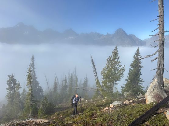
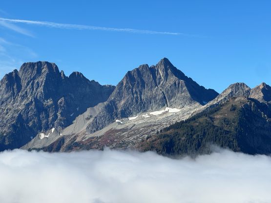
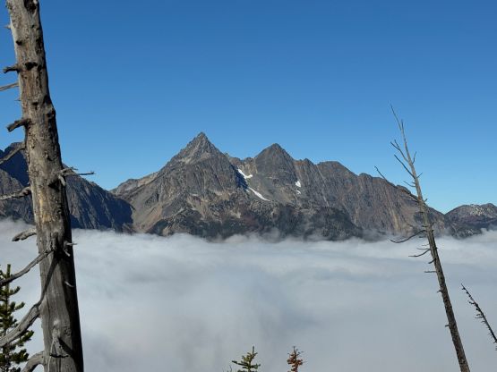
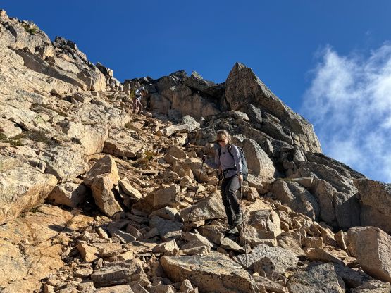
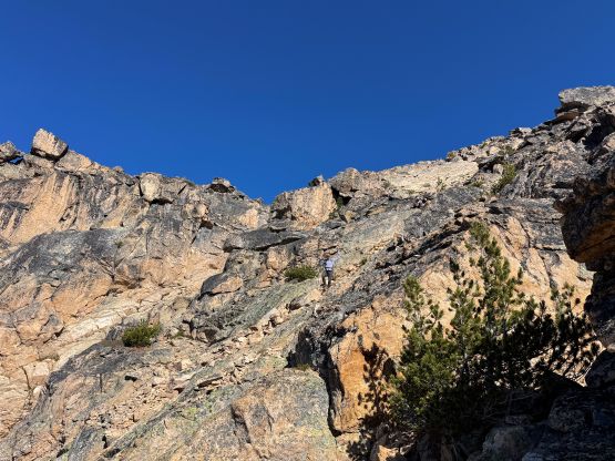
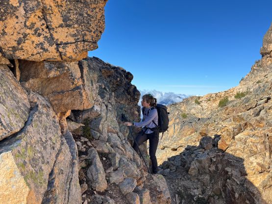
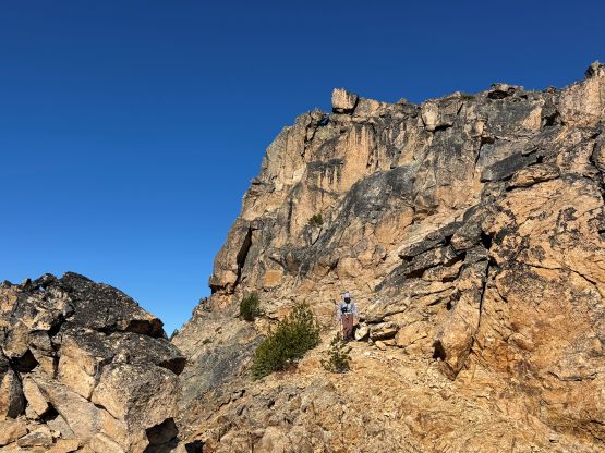
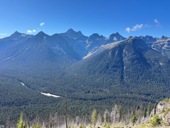
After taking a long ass break perhaps less than 100 vertical meters above the inversion layer we had to start ascending again. The clouds were definitely lifting but it seemed like we would be having some bluebird views at least in the next few hours, which was more than “enough”. The upper route appeared steep and was very foreshortened. We did not follow the exact line shown in the reference GPX track but stuck closer to the ridge crest. There weren’t actually that many loose rocks. We ascended an optional gully and then arrived at the summit block. There’s one ledge traverse with a 3rd class step to down-climb into the notch, and the final scramble up the south face was mostly “class 2” but had some verglass. Despite the warm and sunny weather the lingering snow and ice wouldn’t melt that easily at this time of a year. There seemed to have some potential for Instagram shots on this peak but we didn’t quite bother.
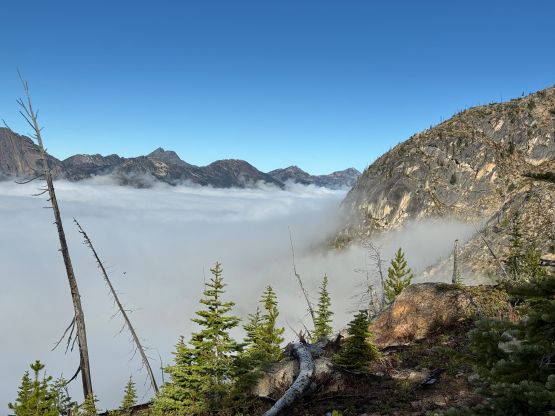
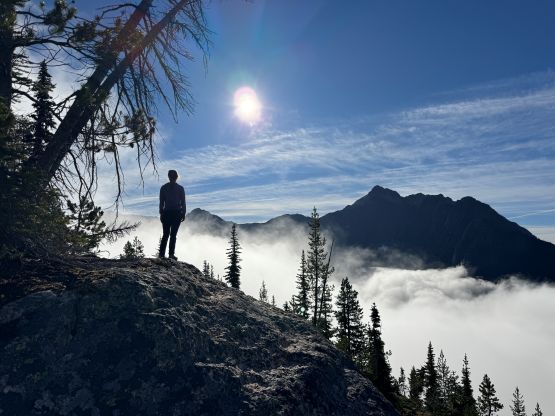
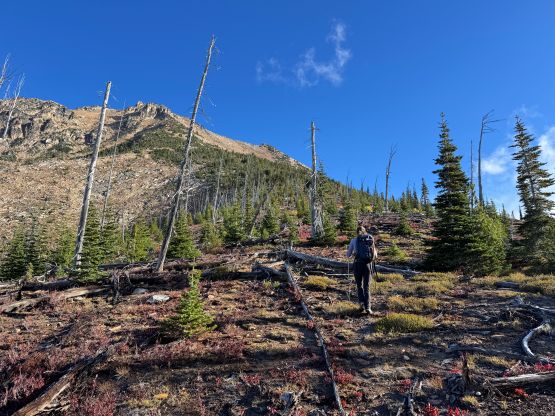
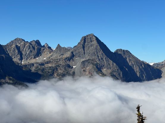
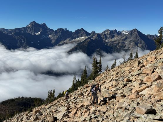
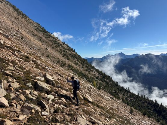
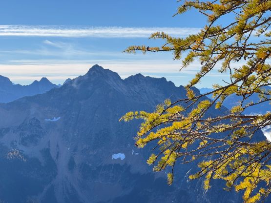
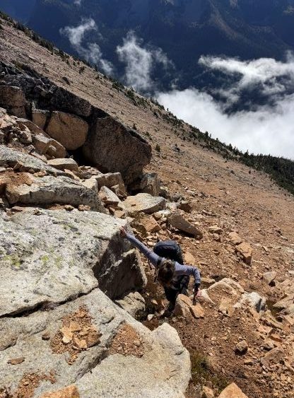
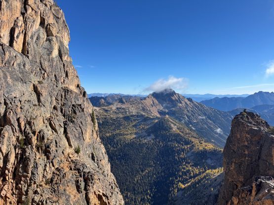
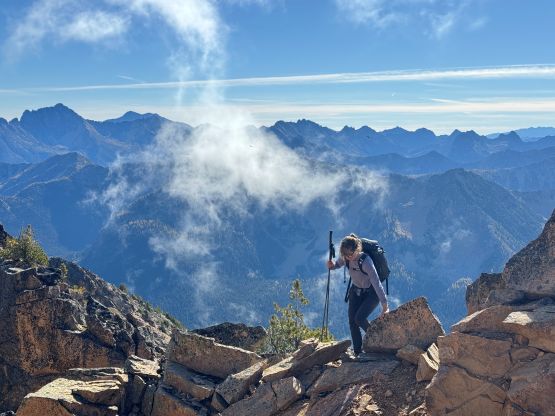
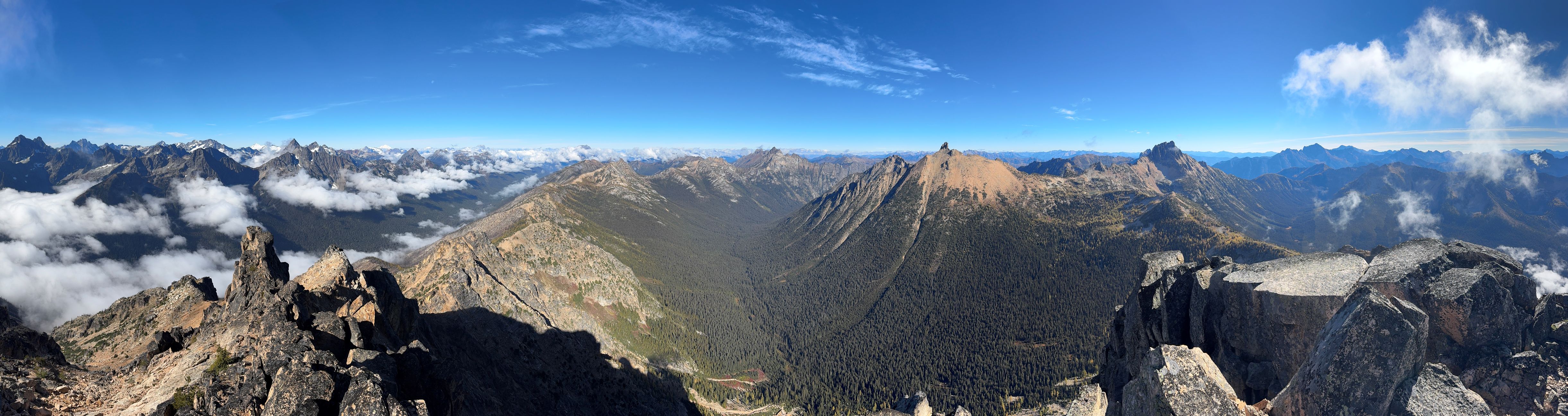
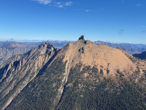
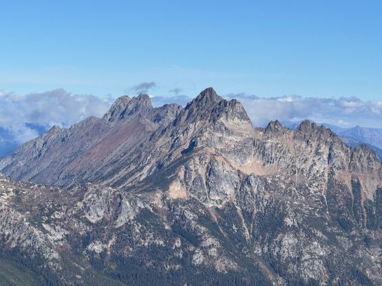
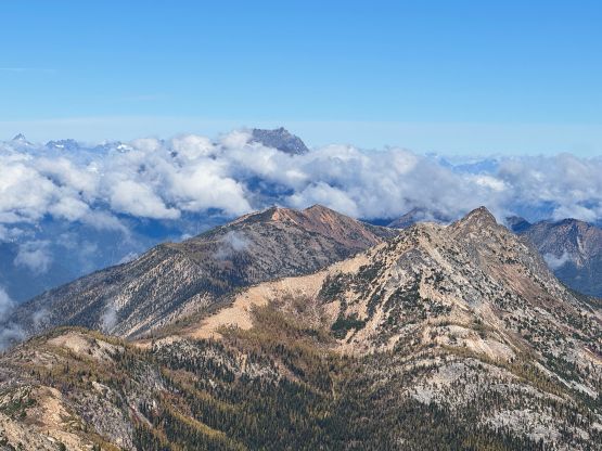
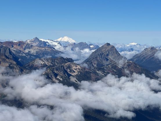
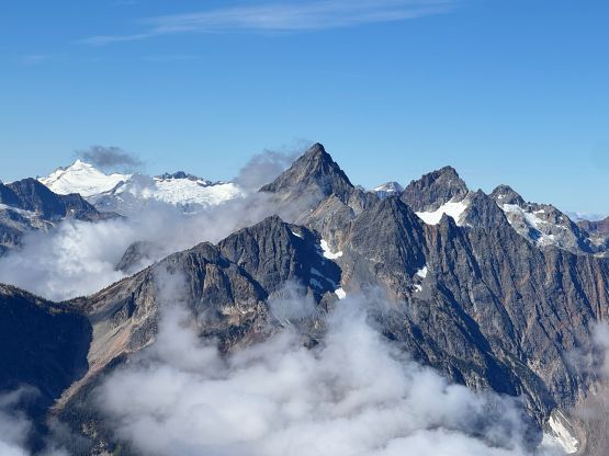
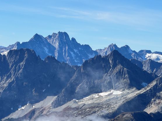
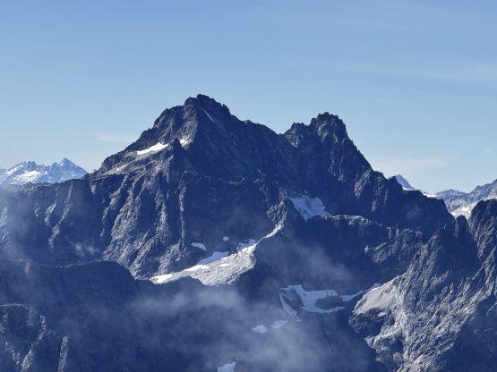
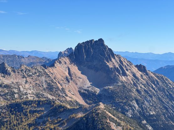
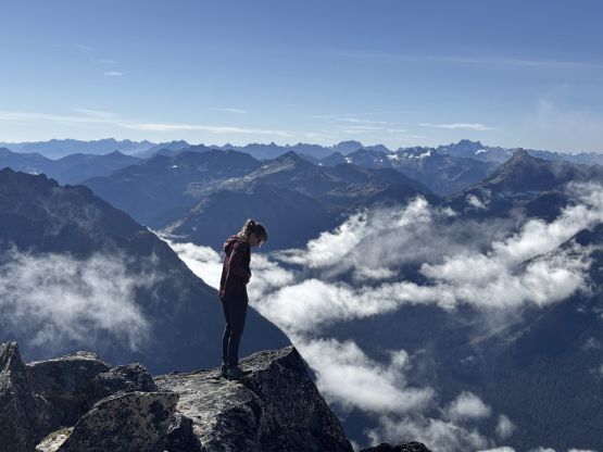
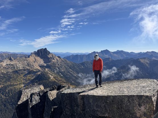
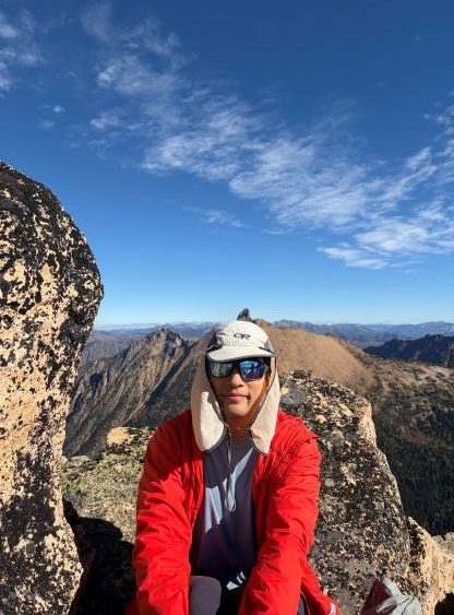
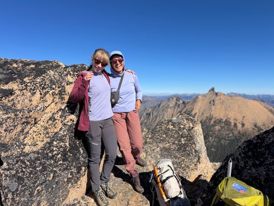
After another long break we decided it’s finally the time to go home, so gingerly started the descent. Scrambling down the upper route required some care as rockfall could be a concern at some places. We also avoided that scrambling gully by descending further skier’s left on chossy and sandy terrain. This route worked out nicely for the way down but probably not gonna be as nice on the ascent. For the rest of the descent in the forest Elise and I had to check the GPS multiple times to make sure we were staying on the correct ribs. The route became very steep for a while and then we had to traverse skier’s right in order to stay on our own tracks. Our round trip time was 5.5 hours without rushing anything. Elise and I took turn driving back and I did get back to White Rock in time for work. I then worked till 9 pm which was a bit exhausting, but manageable.