Ha Ling Peak
December 21, 2011
2407m
Canmore, AB
After finishing the first term of my university study I was keen to get out enjoying the outdoors in one way or another. Continuing my scrambling adventures in this past summer I decided to head into the Rockies again. Throughout the semester I had read a lot of trip reports and gathered as much information as possible as what can be safely done at this time of a year. I didn’t want to push hard but I did need to buy a pair of snowshoes (Lightning Ascent 25′) and some other winter essentials including a pair of thick pants and “work boots” in Canadian Tire. I had 7 days and the weather was looking fairly descent so off I went towards Canmore. This was my first time driving such as long distance by myself (from Edmonton to Canmore). My first objective(s) was Ha Ling and Miner’s Peaks – two of the “outliers” of the much-bigger Mt. Lawrence Grassi, but a supposed good introductory to winter scrambling.
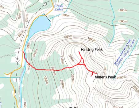
Ha Ling Peak and Miner’s Peak standard scramble route
After a somewhat not-so-comfortable car-camping by one of the pull-outs along Highway 1 I drove up the snowy and slippery Smith Dorrien Road to the (very large) parking lot. For obvious reasons I had none to very little experience in winter travel in the wilderness and right away I wore too many layers. I had to strip off several layers after a mere 10 minutes or so up the trail. The start of the trail was well marked, but as I approaching treeline, I lost the trail and had to strap snowshoes on and break trail. I opted to ascend straight up and the post-holing was tiresome.
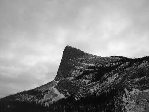
Ha Ling Peak looks impressive from Canmore

Hiking up the trail
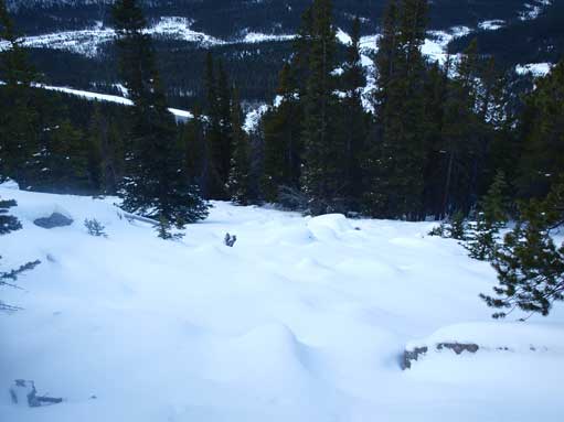
Near the treeline I lost the trail
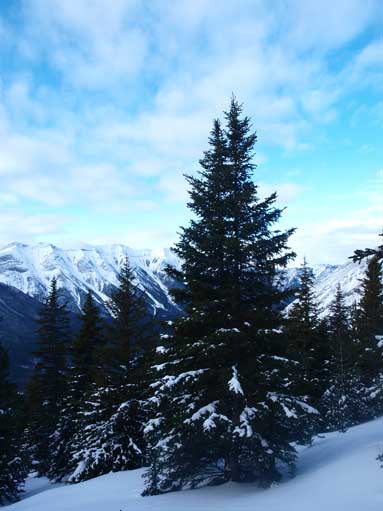
A lovely tree near treeline
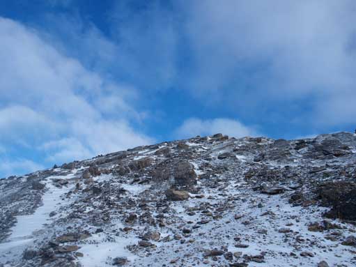
Thankfully the snow on the slope above treeline was blown away by the wind, so it’s pretty much just a late season scramble to the summit. With the experience of classics like Mt. Temple under my belt this felt pretty straightforward. Near the summit I intersected the final summit ridge and followed it easily to the top.
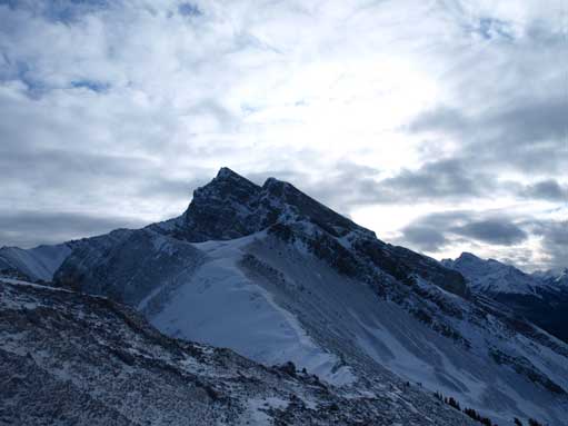
Beautiful East End of Rundle (EEOR)
Another look at EEOR
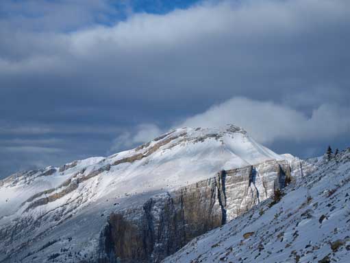
Mount Lawrence Grassi completely overshadows Miner’s Peak
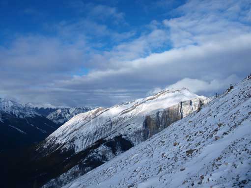
Typical terrain near the summit

Zooming-in into Smith Dorrien Area

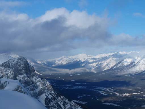
Panorama looking towards Goat Range and Spray River Valley

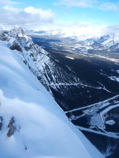
Panorama of Canmore and Bow Valley
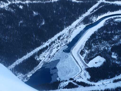
Looking straight down the NE face to Grassi Lake
The steep rock face
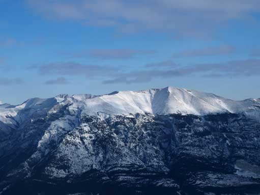
Grotto Mountain. Looks pretty doable

Mount Lady MacDonald on left; Mount Townsend behind; Cougar Peak on right
Zooming-in North towards Premier Range (on right)

My backpack on the summit
After admiring some of the winter view of Bow Valley I didn’t stay long but immediately focused on my next objective of the day.
