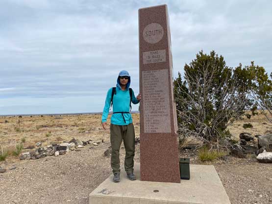
Black Mesa (Oklahoma High Point)
April 3, 2022
1516m
Kenton, OK
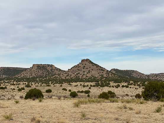
The state of Oklahoma is known for anything but mountains so it feels strange to talk about the highest “peak” of this state. This state high point locates in the far NW corner of the “panhandle” near the triple point among Oklahoma, Colorado and New Mexico and is just part of the plateau of Black Mesa that extends into New Mexico. The high point in Oklahoma has prominence of “zero” meaning it’s not a peak at all, but to reach this high point one has to hike about 13.5 km round trip with a few hundred meters of elevation gain. This is a very popular hike though due to the status of being the state’s high point so on any given day one would expect the meet people.
I made a spontaneous decision to use the last day of my spring break road-trip to visit the state high points of Oklahoma and Kansas as I was mentally done from the prominence peak-bagging in New Mexico. I could have used the last day to get another P1000m objective but I wanted something different. I quickly realized that I was not far from these flatland states after all. In the evening I drove eastwards towards Clayton near the triple point among New Mexico, Oklahoma and Texas but I failed to get there. I was simply too spent to drive farther, so pulled over and slept in the car. The next morning I woke up at sunrise and resumed the drive to Clayton where I found the cheapest gas I’ve ever seen in the past few months. I then followed the Google’s direction to Black Mesa’s trail-head. There wasn’t any other vehicle to my surprise, but I did arrive reasonably early.

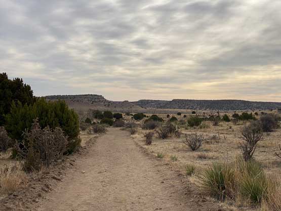
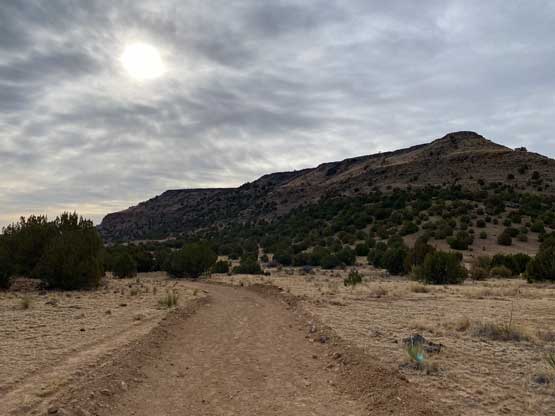
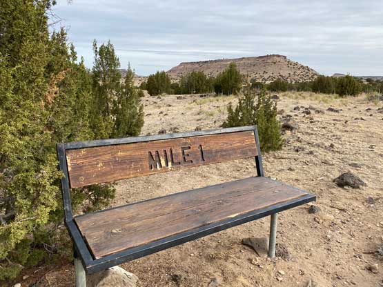
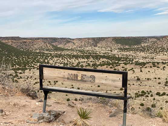
The entire trail is shown on the Gaia map so I really did not need to do much research. I quickly shouldered the day-pack and carried onward. I was expecting a boring slog but I actually enjoyed much of this hike, probably due to a change in scenery from the last few days. The first half was plodding westwards on some gated/private roads. The trail is very well signed and I especially liked the mile markers. After about mile-2 I turned southwards and started to gain some elevation. This section had the best views. Once ascending onto the plateau it was just a boring plod to the high point. The popularity of this hike was surprising judging by the number of entries in the register.


Soon after starting the descent I started to meet hikers coming up and not to my surprise everyone was going after the state high points list. One couple that I met near the end of the hike had climbed Denali and were even aware of some important peaks in B.C. so that was cool. I power-walked the last few miles since I was not doing particularly good on time. After getting back to the car I immediately turned on the engine and started the drive northwards, firstly to tag Two Buttes in Colorado and then Mt. Sunflower which is the state high point of Kansas.

