Mount Currie
September 21, 2015
2591m
Pemberton, BC
After a whole week of rain some fair weather finally returned at the start of this week. It’s not the perfect high pressure system, but “reasonable” enough to plan some trips. Fortunately I was invited to join a day-trip with three fellow climbers from ClubTread – Michelle Hyun, Brian Musk (muskeeto) and Gordon Esplin. The objective was Mt. Currie, a big mountain rising more than 2300 vertical meters above the village of Pemberton at the northern end of Garibaldi Range. I had never been to Pemberton before and I liked the idea of exploring a new area, so that’s it.
Technically this is nothing more than a very long plod but this peak does have some history. Despite its proximity to Pemberton, it’s once considered as a hard-to-access objective requiring either a multi-day slog via Wedgemount Lake or a dedicated bush-fest, whacking 1300 vertical meters up the steep BC coastal rain forest… The situation has improved dramatically over the past two years thank to the construction and completion of the Mt. Currie Trail by the Pemberton locals, making Mt. Currie a mere, albeit long day-trip.
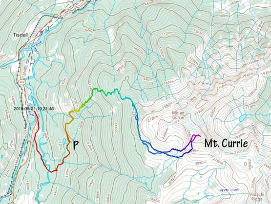
Mt. Currie scramble route. GPX DL
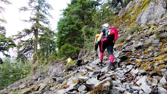
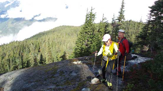
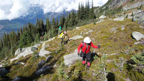
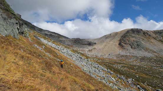
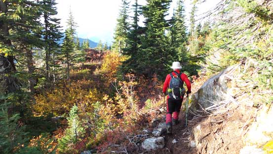
Gordon had attempted this objective 4 times in the past, with the recent two tries using this newly constructed trail, so we knew exactly where to go. By 5:30 am in the morning we all met in West Vancouver, squeezed in Brian’s car and 2.5 hours later we were driving up that short, but rough logging road branching off from the scenic Highway 99. We stopped not far up after the Green River bridge thank to some very deep water bars (apparently in a much worse shape than a year ago according to Michelle and Gordon). So we walked up the rest of that road and there’s a fairly tricky creek crossing at the start if you don’t want to wet your boots. The trail-head was easy to locate and the trail itself was easy to follow. It led us traversing way over to the left (north) across some cut blocks before entering the steep forest. The following 2 hours was a mind-numbing slog up the typical coastal rainforest, and 1000 vertical meters later we made to the “wind ridge camp” by the upper meadows. The views were opening up but thank to the low clouds we couldn’t see much of the nearby peaks, so we kept marching up.
Marching up…
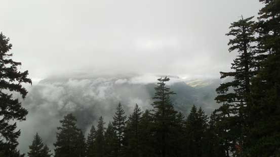
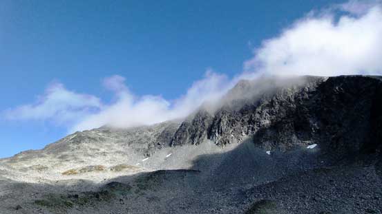
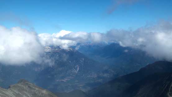
The weather was worse than forecasted…
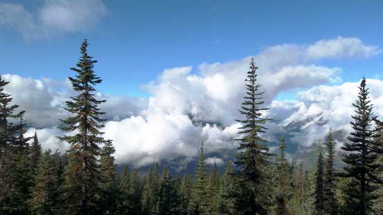
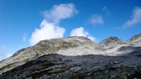
Finally saw some blue skies, but still lots of clouds

The first signed junction
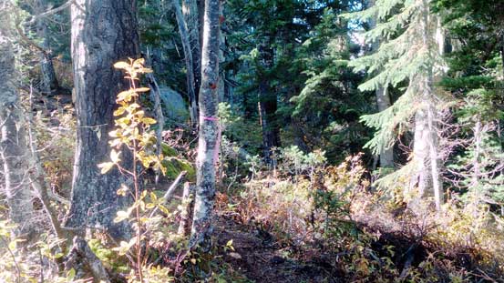
Easily following the trail up (note the flagging)
Came to an opening area

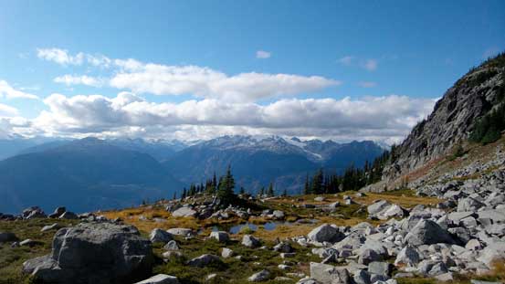
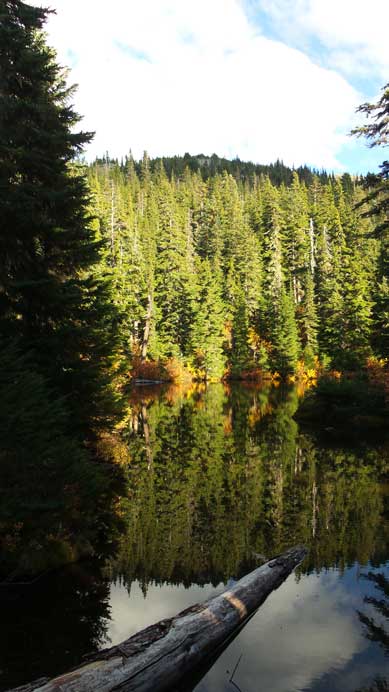
One of the many ponds near treeline
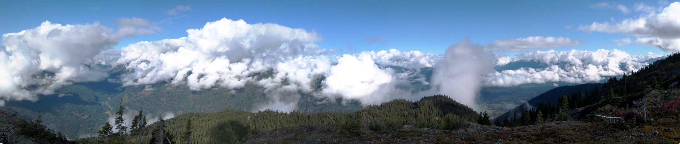
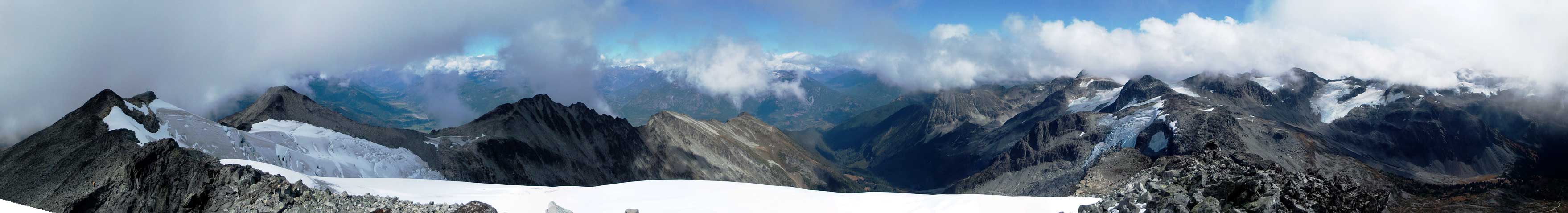
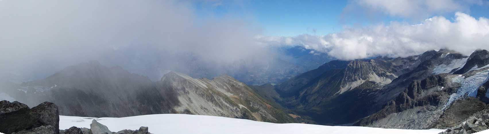
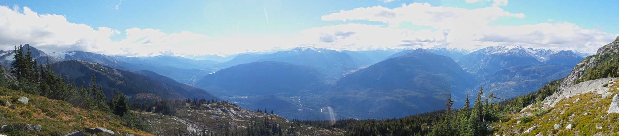
Panorama from near the campsite. Click to view large size.
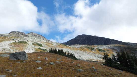
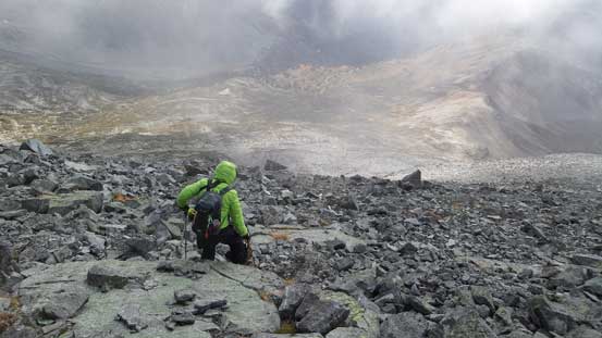
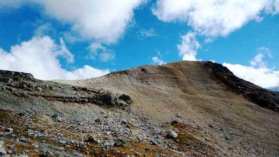
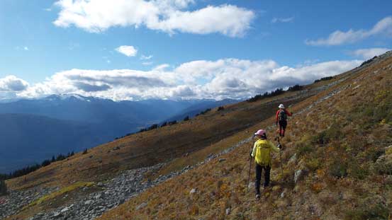
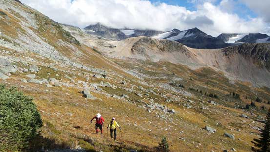
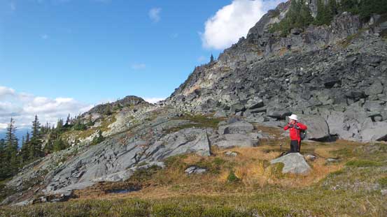
The terrain immediately ahead was confusing with some micro up-and-downs, a few ribs and some bush, but by following Gordon we managed to keep a reasonably straight line due south-east aiming at the “1900 m contour line”. The peak ahead in our sight was one of the many sub-peaks and apparently there’re a few ways to attain the true summit. The trip report I was referring to involves traversing up and over at least 2 or 3 false summits but the easiest route, also the one we used takes a long southwards, then eastwards traverse around all of the false summits, before attacking the true peak directly from the broad south slopes. The first half (due south) was done at roughly 1900 m elevation and the second half (due east) was at roughly elevation of 2000 m. There were some up-and-downs along this contouring line but overall I found it to be fairly efficient, traversing mostly on grassy slopes largely avoiding the slow-and-tedious boulder-hoping or even worse, bushwhacking.

Another pond
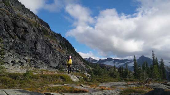
Hiking up with Gordon leading the way
Typical, typical…
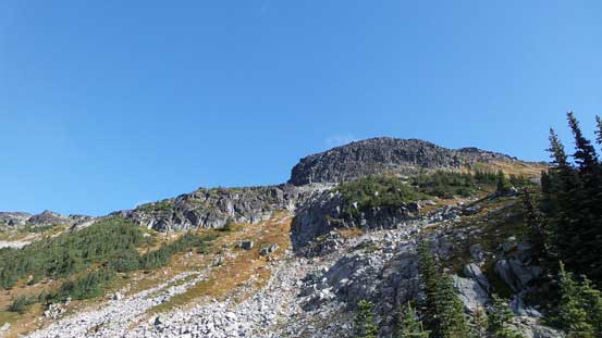
This peak ahead is one of the false summits
Finally started to see our objective. The black one is actually another false summit
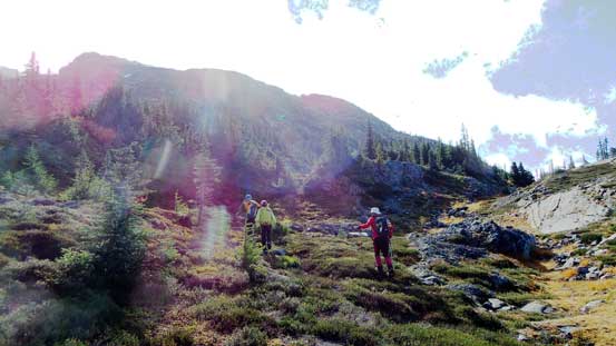
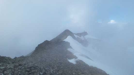
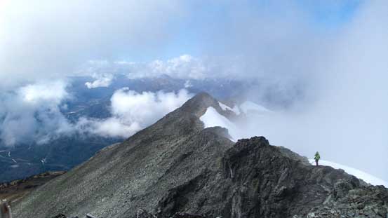
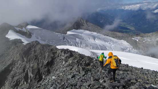
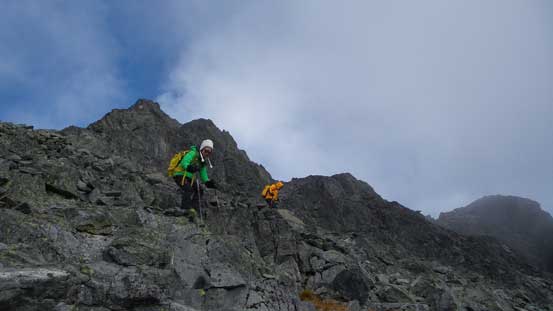
Once the broad S. Ridge of Mt. Currie’s true summit was in sight we started gaining height along a diagonal rising traverse line. This appeared to be a short-cut line but actually brought Brian and myself to the summit of a minor bump and immediately ahead there’s fair a bit of elevation loss. (On the descent we avoided this section by traversing lower down). Then a bit of boulder-hoping, then steep grass and finally bit of hand-on scrambling we got to the south ridge. Looking up it appeared to be nothing but a long plod on tedious boulders. Checking my GPS there’s still more than 300 vertical meters… The boulders weren’t nearly as big as on Castle Towers but still, caution was required to negotiate this type of terrain without twisting my ankles… Another half an hour later I crested the summit ridge directly at the col between the last false summit and the true one. Turning right bypassing a few steps on firstly, climber’s right then left the summit was reached (cold and windy). There were plenty of blue skies but the low clouds kept obscuring my views towards the distance. We took a long break on top before starting the descent.
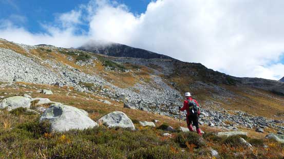
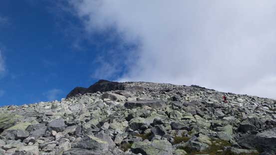
From here we started gaining height. Should have stayed low
Clouds coming in and off obscuring our objective
This is that false summit that we saw earlier in the day

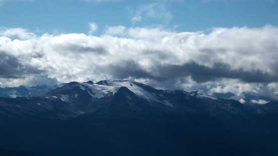
A zoomed-in shot towards Green Lake and Whistler

Brian on the only hands-on scrambling section
Looking down at the slope we just ascended
Oh the boulder field…

On the summit ridge now, looking ahead

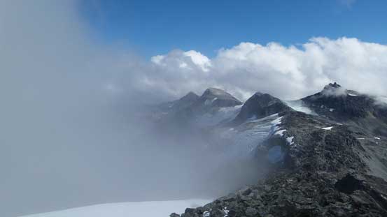
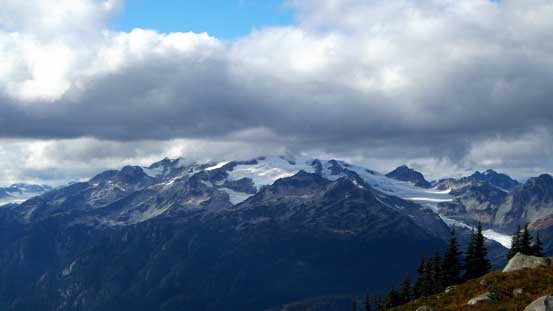
There’s a good sized glacier on the north side
Partway up the true summit, looking back
Summit Panorama. Click to view large size.
Looking towards the northern end of Hibachi Ridge through the mist

Brian approaching the summit
Looking back along the summit ridge

Some of the unnamed peaks north of Hibachi Ridge
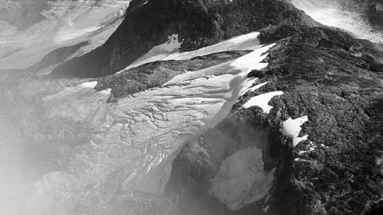
A fractured glacier

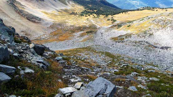
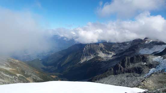
The bowl south of Mt. Currie
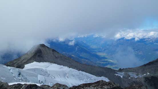
Looking down along Gravell Creek to the north

Low clouds obscured my view looking towards Mt. Weart area

Michelle approaching the summit
Pemberton Meadows in the distance

Some large crevasses on Currie’s north glacier
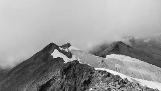
The many false summits
Areas that I’m not familiar with at all…

Me on the summit of Mt. Currie
Another panorama. Click to view large size.
Down the broad south slopes we opted for staying a bit to the skier’s left of our ascent line, and this proved to be a better choice (for descending anyway) as there’s less boulders and more scree. Further down we made another call to avoid regaining the bump that we accidently went up in the morning by staying lower down (~2000 m elevation traverse), and this proved to be another better route choice. We continued a bit further along this 2000-meter traverse then dropped steeply (on open grass/rock slopes) to the lower 1900-meter contouring line. Then it’s the up-and-downs along that line but not nearly as bad as expected. The rest of the descent seemed to drag on forever (just like other long day-trips). I remember at one point I thought we were almost done, then checked my GPS and realized there’s still a good 500 vertical meters to go… Oh well…
Time to head home…
Brian descending on the endless boulders
Michelle and Gordon carefully making their way down
Clouds lifted up and I could see Rainbow Mountain
Neat area
The Soo River valley just north of Rainbow Mountain
Gordon side-hilling across the grassy meadows
More side-hilling
Looking back
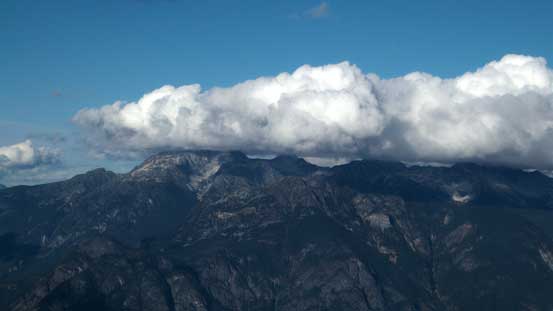
Ipsoot Mountain still hidden in the clouds
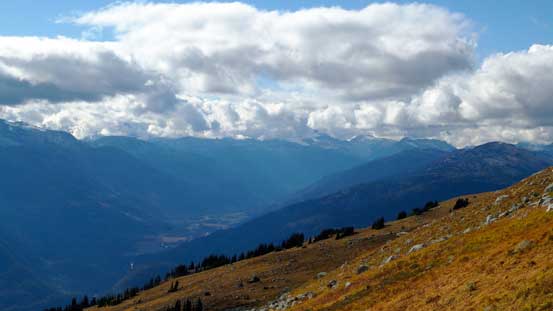
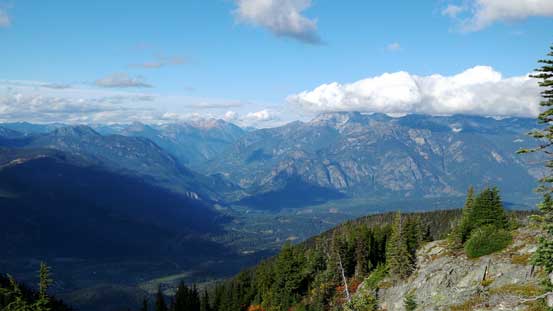
Panorama of the valley that Highway 99 travels through.
A view from the traversing bench. Ipsoot in the distance

I don’t think this cool peak has a name
Some elevation regain ahead
Michelle on the bench traverse

Now we were aiming at the forested rib ahead

Another look towards Pemberton Valley and peaks north of it
Birkenhead River valley to the north

Birkenhead Peak
Mt. Oleg in the Place Glacier Group

A neat tarn and reflections in it
Brian hiking down along the trail
Another tarn lower down in the forest

It’s getting late…
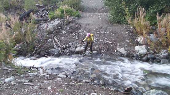
The tricky creek crossing near the end
In the end this was a great day in the mountains as usual. The views were disappointing but nonetheless I’m glad to make some new friends, along with a summit that seems like doesn’t quite often get done on one’s first try.
