Snowspider Mountain
January 27-28, 2017
2494m
Van Horlick / Duffey Lake Road, BC
Snowspider Mountain is a fairly isolated summit sitting south of the Joffre Group. Together with its immediate vicinity this peak is more well known in the skiing community, partly due to the inclusion in John Baldwin’s Exploring the Coast Mountains on Skis and partly because of the deep snow it receives. Logging roads in the Van Horlick as well as Twin One drainage do bring skiers to within a few kilometers to its base, but the classic and the most aesthetic option is via Vantage Col from Cerise Creek approach. No matter which of the three routes it’ll likely take a good portion of a day to approach and there’s a hut nearby (Snowspider Hut) to facilitate overnight stay. For those who strictly prefers summer travel this peak can, and has been done on foot from Van Horlick Creek valley, but rated at only 1 star (out of 5) in Matt Gunn’s Scrambles in Southwest British Columbia it’s no wonder why Snowspider Mountain doesn’t seem to draw much attention from the scrambling community.
I’m a huge fan of tagging summits in winter so the choice was simple. Among the three approach options I’d follow the majority of others up and over Vantage Col except for being on snowshoes as opposed to skis. (I’m not really much of a skier)… Another decision to make was the number of days. In the right conditions I’m pretty sure I could have pushed this peak as a very long day-trip but given the amount of trail-breaking I opted for 2 days, and that allowed me to tag the nearby Vantage Peak as well. Another bonus was some much-appreciated hours of sleep as there’s no need to practice that “all-nighter” thing anymore. After a somewhat long drive up the familiar Highway 99 corridor I leisurely set out the plod from that overly crowded Cerise Creek parking lot at 10:00 am on Friday morning.
Vantage Peak and Snowspider Mountain via Vantage Col ski route. GPX DL
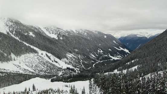
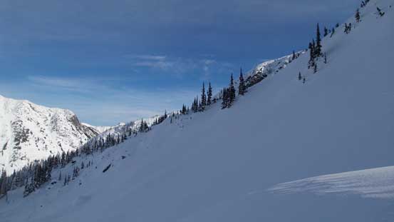
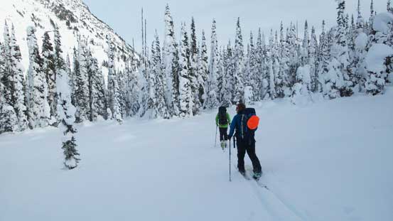
This was my 3rd time plodding up the Cerise Creek approach with the first time for Mt. Matier and the second time for Joffre Peak. Right off the bat I passed a group of splitboarders and then crossed Cayoosh Creek on a foot log. The trail then ascended steeply for a while before merging onto a logging road (lightly overgrown). Exiting the road this trail then paralleled Cerise Creek on the climber’s right (west) side up the hanging valley and it’s a bit different than what I remembered from the previous two times. Now doing some research at home I think I actually took the summer trail this time but they all worked out nonetheless. After passing two more groups of skiers I came to the flats below Anniversary Glacier and not bothering to check out Keith’s Hut I continued the ascent towards Vantage Col.
This is the lower stretch of logging road on Cerise Creek approach
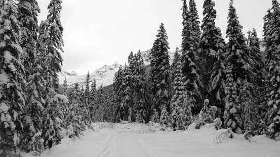
Higher up along Cerise Creek
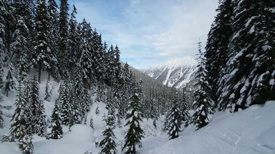
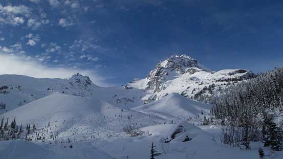
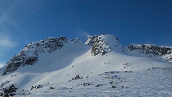
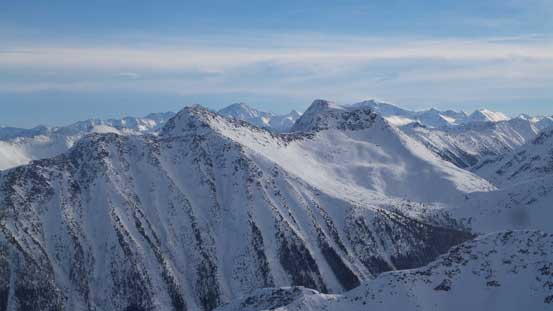
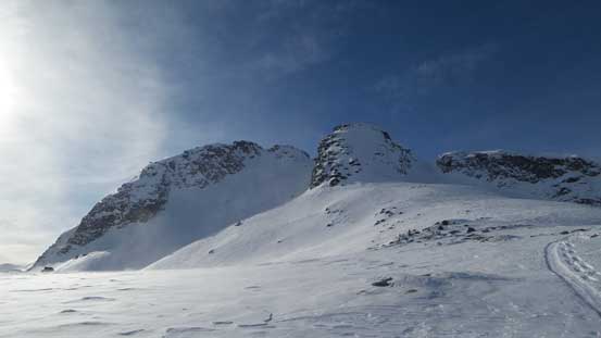
Vantage Peak ahead

Mt. Howard shows up behind Vantage Col
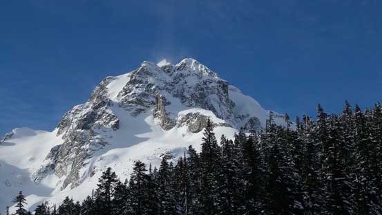
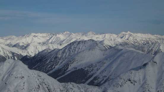
Joffre Peak
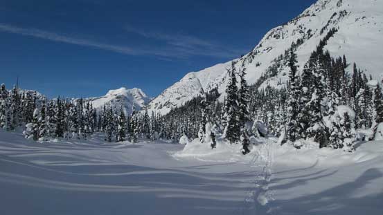
The familiar view of Anniversary Glacier with Mt. Matier and Joffre Peak behind.
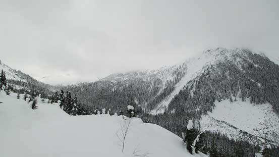
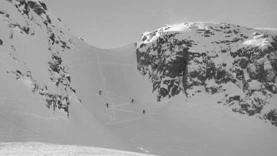
A set of skin tracks was picked and then followed. After a while it seemed like I was grunting way to the climber’s left and soon enough, I abandoned the track as it’s starting to look like those guys went for a short-cut up towards Vantage Peak. Merging right I then picked up another set of track and followed it gradually ascending to Vantage Col. Unfortunately at this stage some weather rolled in and in no time I was soaked in a complete white-out. I debated about omitting Vantage Peak but couldn’t resist the allure of another peak. This turned out to be a very smart choice as I successfully broke through the valley clouds and got treated by some very unique scenery. The ascent of Vantage Peak is written in a separate trip report as it’s a different peak diverging from the main objective.
Grunting up towards Vantage Col, just before entering the mist
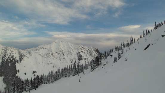
Now back into the clouds I picked up the ditched overnight gears at Vantage Col, repacked and then descended into the upper Twin One Valley. The light was awfully flat making some interesting downhill snowshoeing as I couldn’t judge the slope angle at all. The distant trees and rocks kept me at a general bearing but I almost took a couple falls thank to the micro-terrain. Once down the initial slope into the bottom of the valley that light got better again, but what now followed was a long and monotonous march towards, and then across the frozen Twin One Lake, with some increasingly heavy trail-breaking. This stage took me a good while. Then up and over a small rise I descended a creek to the uppermost reach of Twin One Forest Services Road. Turning left onto this logging road another 50 vertical meters or so was lost before I could eventually leave the road to go into the forest again.

Descending into the upper Twin One Valley

Plodding across Twin One Lake
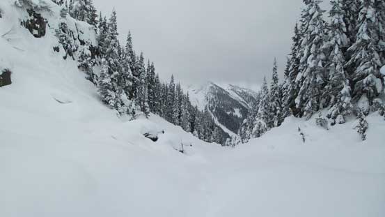
Then up and over a small rise, descending this creek feature

Merging onto the uppermost reach of Twin One FSR
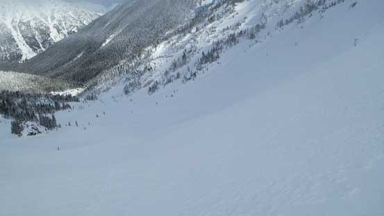
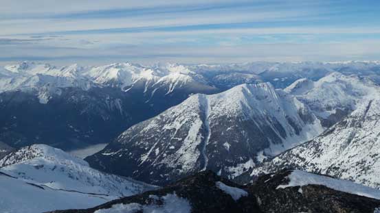
Looking down at the lower Twin One Creek valley
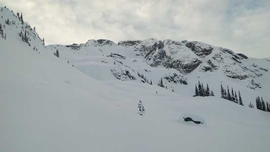
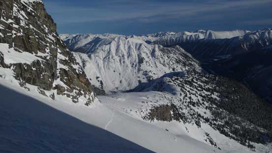
Looking ahead, my destination for Day 1 is that broad pass on left.
Ahead the next stage was the final march of this approach day and although tame on paper it actually involves fair a bit of work especially for the first ones breaking trail. I also had to constantly check my GPS making sure I was on route as micro-terrain was confusing at places. Initially I kept a traverse bearing across some old growth forest but then came to a creek feature. I turned left sharply following this creek, crossed it higher up and then picked up another creek due east. This time I ascended the climber’s right side of the bank and arrived at that broad pass between Mt. Duke and Snowspider Mountain. There’s still about 800 m horizontal distance to cover and this last stage was navigated mainly by GPS. The aiming was towards the SE shore of the largest of the three lakes but in winter it’s very difficult to tell what is actually a lake and what’s actually some marsh land. Tired from all that trail-breaking I went into that napping mode almost immediately upon arriving (6.5 hours from car including Vantage Peak).
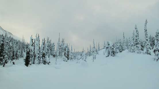
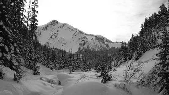
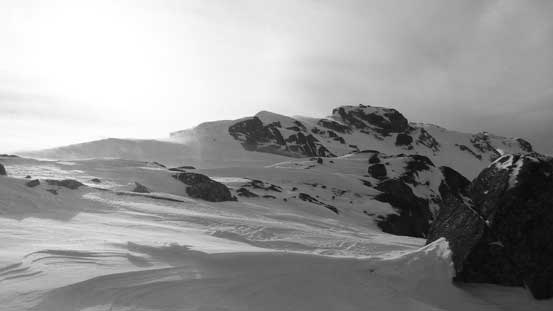
The typical terrain on that broad pass south of Mt. Duke and north of Snowspider Mountain
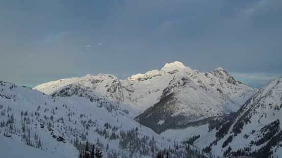
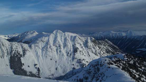
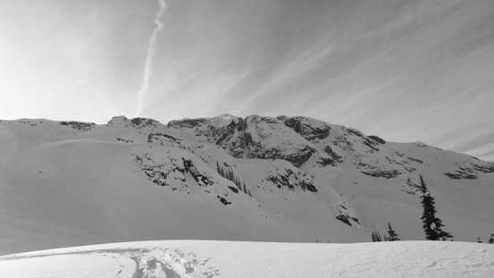
The south side of “Mt. Greifswald”
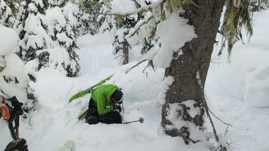
About an hour and half later I woke up with some lights and sounds outside. Three skiers just arrived following my tracks and I have to say that I underestimated the popularity of this tiny “secret cabin”. They reported that two more were still on their way in, but by the end of the day we had a whole lot more than that. Eight people in total managed to squeeze in and another group had to stay in their tent outside. Given the lack of information about “skiing around Snowspider Mtn.” on the Internet I was really not expecting this and it’s not even a weekend… The bright side was the warmth and the luxurious food as those guys really knew how to enjoy a backcountry trip.

They brought so much luxurious food.
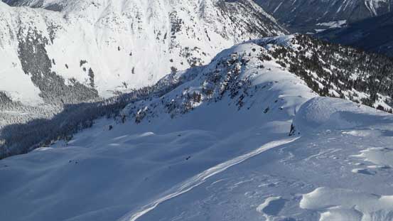
Needless to say sleep did not come easily. I was expecting to have this place to myself and catch maybe 13+ hours of sleep but in the end did I get 5 hours of sleep? Maybe not.. By 6:30 am my alarm went off and after some quick breakfast I set out to climb the peak solo, while everyone else was going to start 2-3 hours later. It’s just bright enough to not require head-lamp when I got outside. The lower route goes up one of the forested ribs to access a hidden bench at treeline and it’s difficult to tell from below. Thankfully I had done sufficient research on Google Earth so did manage to link the features. I initially went up a steep gully but then trended gradually to the right. Following basic sense I got onto the traversing bench efficiently and it’s a great place to take in the morning views.
After a long haul up the steep forest here’s me arriving at the traversing bench
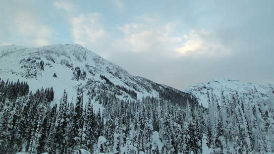
Looking back at “Mt. Kosegarten”
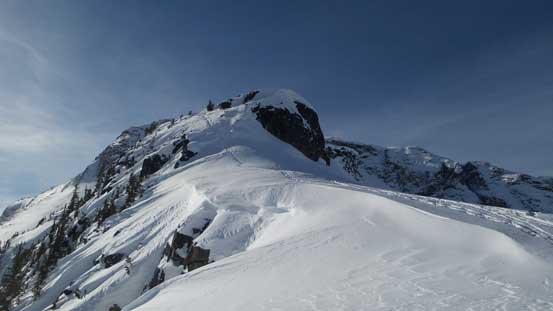
The bench was quite wide but shorter than expected. Once it ends the route trends left (south) following another bench into the “middle basin”. There’s some micro rolls here and there but sticking to the lowest angled route it’s not difficult to pick a line. The only steep part was near the end just before intersecting the long and undulating NE Ridge. The wind was howling just like forecasted once hitting the ridge and immediately I made a route-finding mistake. Instead of traversing on the climber’s right side to bypass a steep “nose” I opted to boot-pack straight up to overcome. It didn’t look too bad but turned out quite steep and exposed me to some very bad run-outs. I did not like it so once pushing through this unexpected challenge I knew I wanted to find another way a couple hours later.
The tip of Mt. Matier catching some morning sunshine

The bench took a turn and now I’m going up into this middle draw
Looking back at the south side of Mt. Duke
Ahead is the upper route.
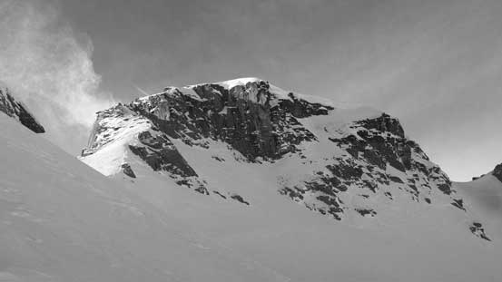
Upwards and onwards along the broad NE Ridge the next obstacle was a prominent buttress that must be skirted around on the climber’s left (south) side. Traversing into the south side bowl was much steeper than appeared and the firm conditions had created some treacherous side-hilling. Not wanting to don crampons yet I removed the uphill side’s snowshoe, hence one foot on snowshoe and the other foot on boot. This worked perfectly. Now onto that pocket glacier the side-hilling tapered off so I strapped the other snowshoe back on. This glacier was very foreshortening and quite steep near the top. I managed to cut a few tight switchbacks up the last roll (around 40 degrees) but I was sure coming back down here would require boot-packing.
Higher up along NE Ridge, looking back at “Mt. Kosegarten”

Had to traverse around that buttress on the left side
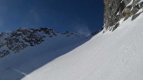
Traversing steeply into the south side bowl
Looking back at my tracks into this bowl

It’s steep…
Another photo looking back
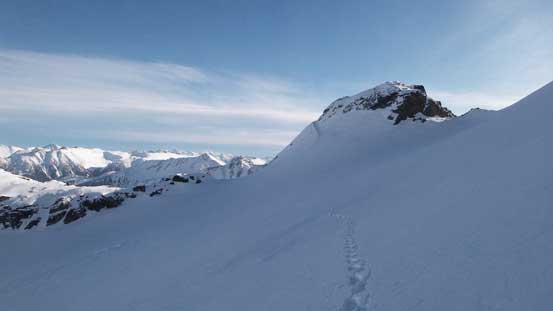
Exiting the bowl now, the summit is finally ahead.
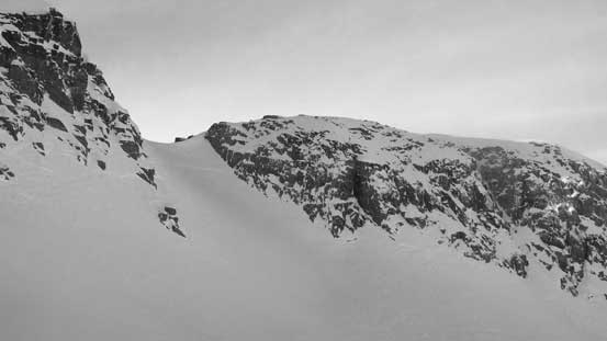
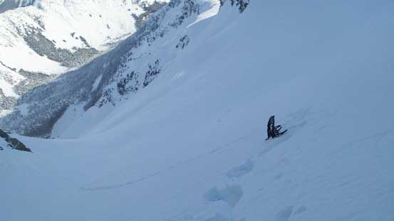
Now on top of that aforementioned buttress the final boot-pack was properly displaced in front. This steep gully had slid in the previous storm cycle leaving an obvious crown feature about 2/3 of the way up. The first business was to traverse another bowl to the base of it and unlike the previous bowl this one was pretty flat. Then grunting up the gully I managed to wear snowshoes for about 1/3 of the way before ditching them. The deep and unconsolidated snow had created some arduous wallowing and getting up that crown step was interesting to say the least. Passing it I continued shooting straight up the middle of this couloir and soon enough, I crested the summit ridge.
This is the last steep slope.
Traversing another bowl to the base of it
Snowshoes were ditched and time for a long boot-pack
That brutal wind suddenly picked up again. It was so strong that I actually had to lean into it in order not to be blown off the mountain. It reminded me the chinook belt in Rockies although not that terribly bad yet. A few rock steps were yet to be overcome before I could reach the summit, but at this stage nothing was troublesome anymore.
The rocky summit ridge traverse

Summit Panorama from Snowspider Mountain. Click to view large size.
Asherah Peak
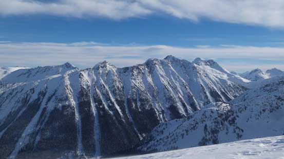
Meditation Mountain with other peaks along Stein Divide on the left skyline
St. Jacobs Mountain and Gideon Peak, with the remote Petlushkwohap and Skihist behind

The group of peaks east of Van Horlick with Channel, Tigger and Elusive being the tallest
Twin Goat Mountain in the foreground
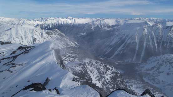
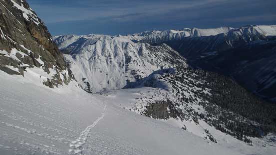
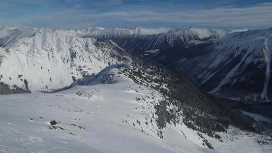
Looking down into the upper Van Horlick Valley

Lots of boulders on the summit
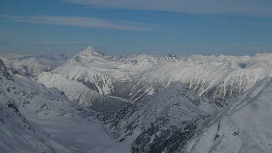
Mt. Marriott strikes out
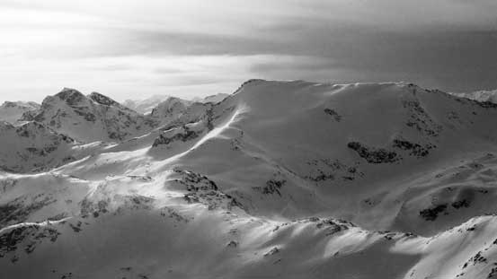
The peaks by Downton Creek drainage in the eastern Cayoosh Range, behind Mt. Caspar

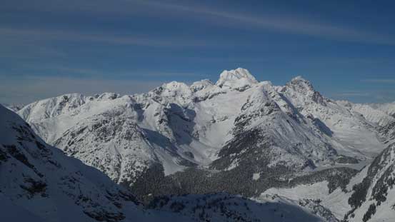
A wider shot of Joffre Group

Mt. Matier with Mt. Hartzell and Slalok Mountain to its left
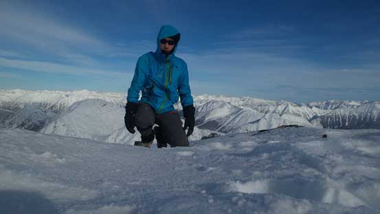
Me on the summit of Snowspider Mountain
For obvious reasons I didn’t linger any longer than necessary on the summit. Reversing that rocky summit ridge was much easier as the wind was behind me now plus I was going downhill so gravity was doing me favour too. And then I turned my face inwards for the steep couloir. The soft snow had made some easy facing-in plunging and in no time I picked up my ditched snowshoes and traversed back across the upper bowl. Peering over the lip into the next bowl I saw the other skiers going up. Those guys were boot-packing and soon enough I’d be doing the same. Getting into this bowl required a few moves of down-climbing facing-in but in short time the grade tapered off. The snow wasn’t deep so I continued booting down this entire bowl until that steep traverse was over.
Time to go down.

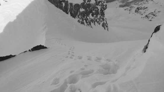
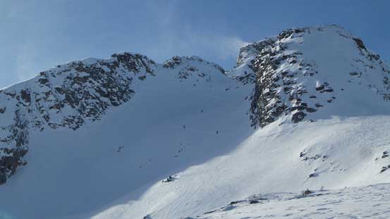
Looking back at the south summit. Getting there is Class 4 and thankfully it’s not the true summit

This is looking down from just above the crown in that boot-packing section

The other group of skier grunting up the “south side bowl” around the buttress
Traversing back onto the NE Ridge proper
Looking back at the bowl
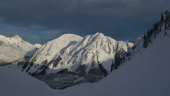
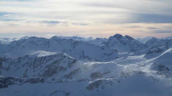
Great view of the “Bible Group”
And, great view of Joffre Group
Snowshoes back on the plunge down the middle portion of NE Ridge went by easily. The conversation with other skiers revealed that everybody ended up following my steps up the lower (and unnecessary) bootpack but I’m pretty sure there gotta be another way around as this didn’t get mentioned in John Baldwin’s book. Indeed I found a way by dropping down into the left side. It had a bit of a steep entrance with a cornice, but overall much easier than my ascent route. The lower mountain was sheltered from the wind which meant nice, soft and deep powder. Plunging down this type of terrain took literally no time and the next thing I was relaxing in the luxurious hut.
The lower group of skiers ascending the “south side bowl”
The group ahead going up the steep boot-pack
Finding a way to get down into the bowl below
Bypassing this sketchy boot-pack which everybody went up on the ascent

Looking sideways across.

Plunging down into the lower bowl now, looking at “Greifswald Peak” and “Mt. Kosegarten”
Mt. Matier
Neat country
Looking back towards the summit

Plunging into the forest
Down to the valley now.
I took a mandatory nap and the then other skiers arrived back a few hours later. One of them (Rob) kindly offered me a ride down the Van Horlick drainage as it’s only 1.5 hours of walk to the upper parking lot that way, as opposed to the 5-hour slog back over Vantage Col. Thank to the recent logging activities the Van Horlick FSR was plowed all the way up to its end and that’s for sure one bonus for going into Snowspider Hut in this season. On the way out I pretty much just followed the other skiers as I myself didn’t do much research about the Van Horlick side. It was mostly flat and had some light bushwhacking and that’s all I could remember.
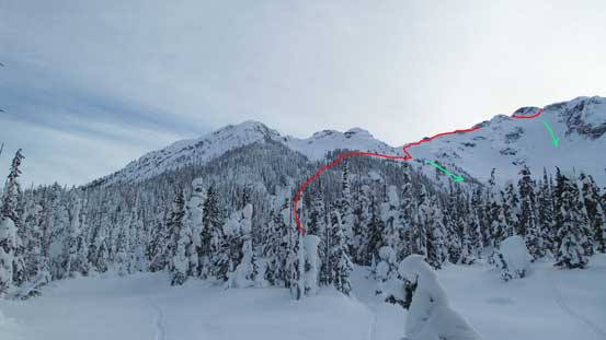
A review shot of the routes we took. The skiers went down the green lines.
Time to head home
Sections were not very pleasant on skis..

You can drive this much far up the Van Horlick FSR this season.
The logging activity in Van Horlick drainage was very active but the main path was free of stuffs. Rob managed to drive his Xterra at over 60 km/h and that shows how nicely maintained that road was. After thank him a big time the rest of the drive back home was uneventful, and that’s the end of another very productive trip.
