Lyman Hill
March 24, 2018
1305m
Sedro-Woolley / Skagit County, WA
Lyman Hill is rather just a flat-topped, broad but heavily wooded and logged “plateau” in the foothills of North Cascades. Apart from its prominence (36th most prominent in Washington state) this peak offers next-to-zero mountaineering interest. The summit does offer decent views on a clear day but itself is also largely occupied by communication facilities. There isn’t much wilderness feeling on this mountain whatsoever. Much of the “standard route” goes up the west side logging roads and is best done as an exercise hike. The terrain is gentle enough that one can hike it at any time of a year in literally any condition. Most choose to bag it in winter and there’s no avalanche danger to worry about.
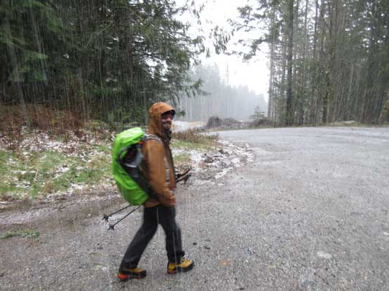
The weather forecast for this Saturday was not very inspiring but Jake, Trevor and I still made a spontaneous decision to head out. Part of the reason was that I would be abroad in the following two weeks so this would be my last mountain trip for a while. There’s a couple suitable objectives in the foothills of North Cascades. We almost picked Sumas Mtn. (WA) but in the end we opted for Lyman Hill. There’s no need to start super early so the meetup time was set at 8:00 am at the junction between Highway 9 and Hathaway Road. And thank to a huge border lineup I was late by about 15 minutes but I consider that as “reasonable”. The real starting point is about 2 km down Hathaway Road at a closed gate. The road beyond is in a perfect shape but the gate is locked so everyone has to park at the bottom.

Lyman Hill via west side logging roads. GPX DL
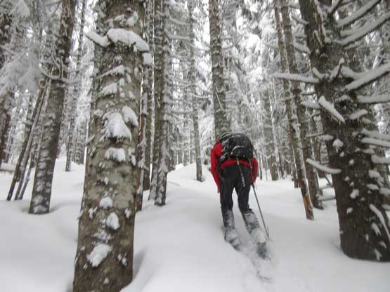
This is a trip that one would better come prepared with a downloaded, or at least a pre-drawn GPX track. There’s so many confusing branches but generally speaking for the lower 2/3 one just needs to follow the most obvious path. The logging road does about a dozen switchbacks up the flank between Thunder Creek and Mills Creek. The weather was horrible but at least after a couple hundred meters elevation gain the rain had transitioned into (wet) snow. At about 900 m elevation we strapped the snowshoes on and then there came that “bushy connector”. This is a narrower and bushier branch that’s hard to discover if not because of the online beta and GPX track. It led us traversing diagonally due south-east for at least a couple kilometers. Meanwhile we had to push around the alders with fresh snow…
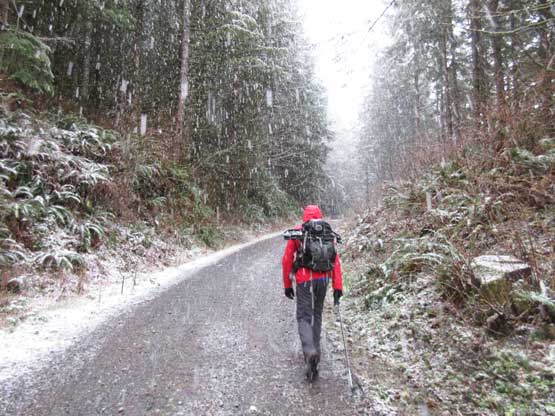
Right away we were soaked by heavy wet snow. It’s as bad as it looks…
About 400-500 m up the snow started accumulating…
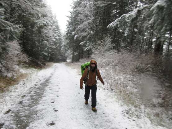
Trevor coming around a corner. It’s almost snowshoeing time..

Jake leading the way into this bushy connector

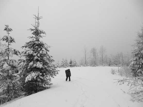
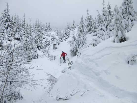
This is near the point we bailed towards the summit
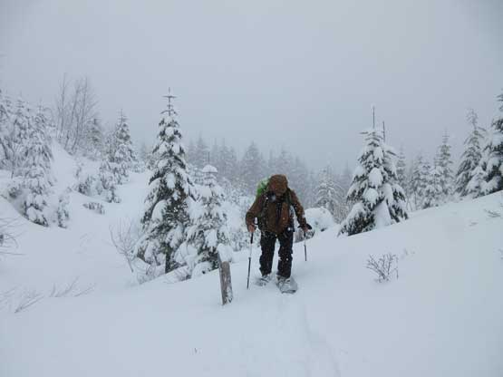
After what seemed like a long while I checked the GPS to see how far we still had to traverse on this bushy branch. I realized that we were actually directly underneath the summit. According to the track we still had to traverse for over 1 km but the trail-breaking on this logging road was quite arduous. The summit was about 800 m horizontal meter and 200 m vertical directly above us. After a bit of debates we opted for this experimental short-cut. Initially the trail-breaking was terrible but it improved shortly after. Higher up we travelled into some mature forest and the going was actually much easier. The terrain never became too steep and we also came across two branches of logging roads. Regardless, we went more-or-less straight up and the path brought us right next to the highest point.
Trevor T. hiking up the lower cut block on our experimental route
Jake R. breaking trail up the mature forest near the top.

Our group shot on the summit of Lyman Hill
The summit stay was short thank to the absolute white-out conditions. Even the top of this communication tower wasn’t visible and that tells how “awesome” the view was. It’s still snowing fairly heavily so not wanting to waste too much time we started the descent. Downhill snowshoeing in this powder form of snow was fast and fun so in no time we were back to that “bushy connector”. While descending this connector we actually got some nice views thank to a brief clearing trend to the west. But the blue skies didn’t last long as a thunderstorm clouds rolled in as we continued our descent. For the last few kilometers we were hit heavily by a rain/hail storm and soaked to the bone…
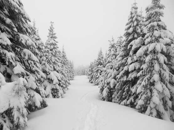
This is the uppermost logging road that goes to the top

Snowshoeing down our experimental short-cut
Almost back to the connector branch
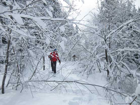
This is the bushiest section.
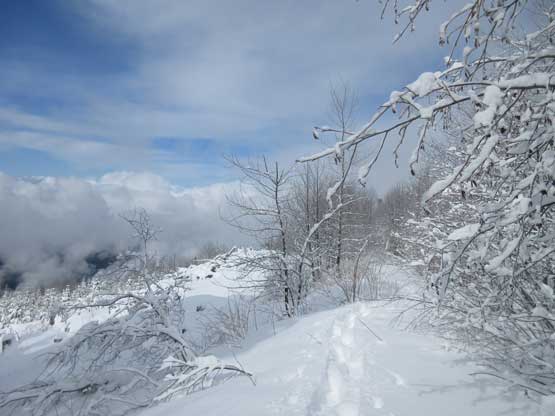
To our surprise we got some sunshine here…

When the sun came out we just had to snap some shots…

Just another shot looking west into the lowlands.
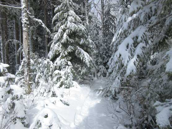
This is near the start of that bushy connector. Pretty narrow.
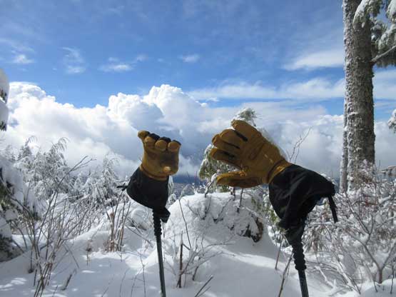
My brand new gloves…
Near the bottom we got soaked by a hail storm.
Our round trip time was just over 5 hours on a steady pace and that’s a tad bit faster than expected. I think the short-cut we did near the summit helped saving time/distance and the weather also helped speeding up the process. The main purpose for this trip is social and exercise and peak-bagging is secondary. I would actually recommend Lyman Hill for a day when you don’t have much motivation or when the weather’s bad and you still want to get out.
