Iron Mountain
February 20, 2016
1702m
Merritt, BC
With mostly cloudy and chances of precipitation in the forecast I figured the best way to escape this weather system was to drive far into the “rainshadow”, that was, towards the interior. Highway 5 (Coquihalla) is the fastest with speed limit of 120 km/h, and Merritt is the closest community along that corridor. There’re quite a few “gloried hills” nearby that serve well as off-season objectives and Iron Mountain is one of those. It appears there’s a logging road leading right to the summit. This sounded easy enough so my mom would accompany me as well.
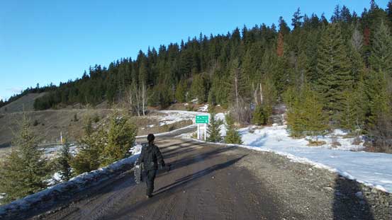
I figured there’s no way this could become a long day so we slept in and didn’t wake up until 8:30 am in the morning. I did a last-minute weather check and indeed, the webcams were showing nothing but sunshine in Merritt, so out eastwards for 240 km we exited the highway at Comstock Road. The weather was miserable from Hope all the way to Coquihalla Pass but as expected, it was sunny where we parked. The first 2.5 km along Comstoke Road was actually maintained in winter and was in a surprisingly good condition, but not liking to take a chance on logging roads with my low clearance 2WD (and without snow tires) we decided to walk the entire length.
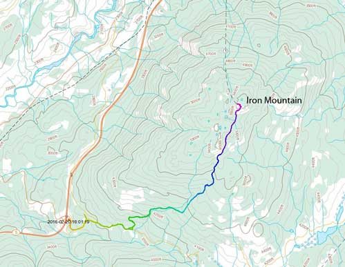
Iron Mountain hiking route. GPX DL
The road was very easy to follow, but did get confusing at one place where the road started to loop “backwards”. I checked my GPS for multiple times and made the call to short-cut it using one of the side-branches. This spur road was steep and icy but there’s some good snow on the side offering tractions. We re-joined the main road higher up and had no further issue following it to the 2.5 km marker, where the Iron Mountain Road branched off to the left. This road wasn’t maintained but the snowmobiles had already packed it down for us.

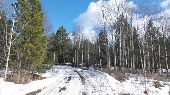
The start of Comstock Road

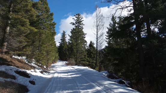
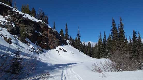
The typical plod along Comstock Road
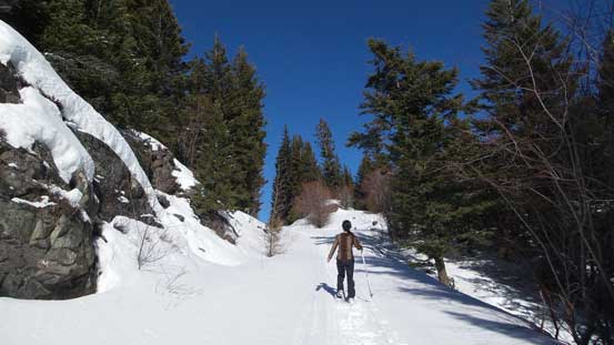
This is the start of Iron Mountain Road
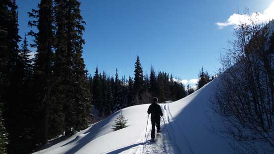
We strapped the snowshoes on after 1 or 2 kilometers up and the plod was long and boring and seemed to drag on forever. The view never opened up until the last 2 km where the road climbed onto a “plateau” feature bypassing the lower south peak on its climber’s right side. The true summit was on the far north end and still had more than 1 km to go. The summit had more than a few giant communication towers and despite that, it actually offered more views than what I was expecting. I wondered around a bit on the plateau to see what else was in sight.
The typical plod along Iron Mountain Road
Higher up on Iron Mountain Road
Still have more than 1 km to go…

The final 20 m to the summit
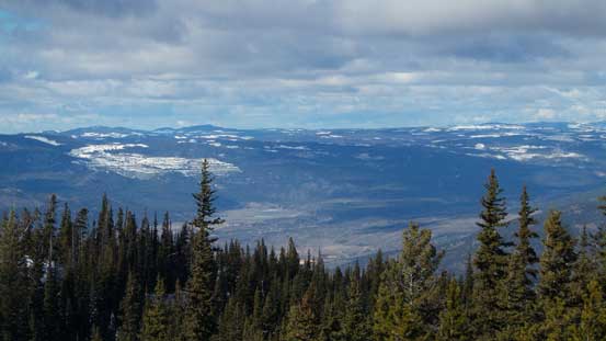
Zooming-in towards the city of Merritt, and Nicola Valley
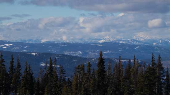
Peaks to the west were engulfed in clouds
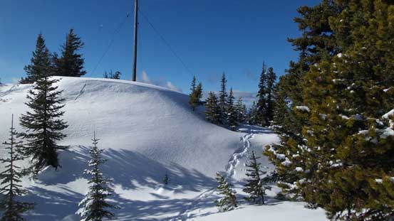
Wondering around for more views…
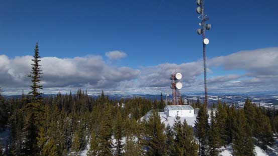
This is that huge communication station. That tower is at least 50 m tall…
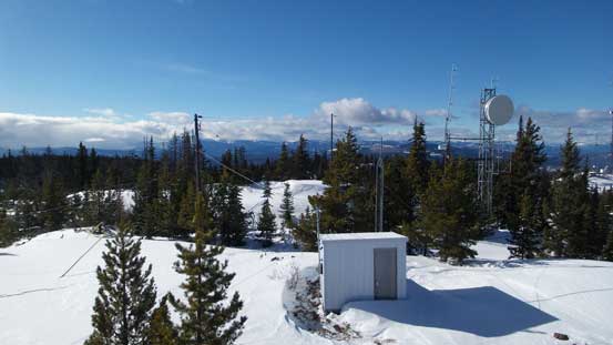
Lots and lots of structures up there

Mom resting on the summit while I wondered around
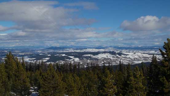
The typical view looking towards the interior plateau
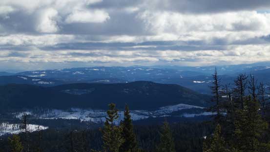
Looking south, peaks near Coquihalla were still soaked in.
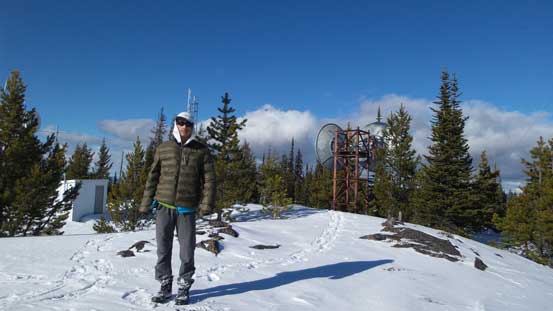
Me on the summit of Iron Mountain
Eventually it was time to go home. There’s nothing to document other than simply retracing our ascent route. It did go much faster than the ascent. Back onto Comstock Road we decided to use our short-cut branch again rather than following the main road, and had to pay some attention to the ice patches.
Time to go home…
The end…
Back to the parking lot it was just after 4 pm so this was just the short day as I was expecting. The driving back home was uneventful and wasn’t nearly as long/tiring as I thought it’d be. I again, did a short side-trip into the States for some gas (very low price at less than 1.70) and our round trip cost was less than 20 US dollars.
