Mount Spencer
June 14, 2020
1454m
Port Alberni / Vancouver Island, BC
Not to be confused with the remote and difficult Mt. Spencer in the Princess Royal Reach of Jervis Inlet, this one is a rather lame, but topographically prominent summit on the southern Vancouver Island about half an hour’s drive south of Port Alberni. This area is heavily logged that nowadays one can drive to within 300 vertical meters from the summit in a 4×4, high clearance vehicle. The access is from Pool Creek. The ascent via south ridge now has a flagged trail albeit one still needs to bushwhack on top of the trail as it’s obscured and very underused. I made the spontaneous decision to bag this summit immediately after completing Mt. McQuillan with Phil, Matt and Dustin.
I had previously downloaded both the Gaia map and the satellite images of this area so navigation wasn’t difficult. I drove about 15 km southwards towards Bamfield and turned onto Corrigan Mainline that runs up along Corrigan Creek. I turned left upon reaching the first intersection and branched off into Pool Creek drainage. This spur road had seen less traffic but not without maintenance. The driving became a little rough at the couple switchbacks at around 700 m. After crawling up this section I met one guy driving down in his SUV informing me that he did make to the road’s end. With the status of the road insured I soon picked up the speed. There were a few washouts and fair amount of fallen rocks while wrapping around the south-east side of a sub-summit that required some careful work. I parked at 1050 m elevation right before a steep left turn. The stretch looked really rough so I didn’t want to risk it, but in retrospect I should have driven all the way to 1150 m at the last switchback.

Mt. Spencer via Pool Creek. GPX DL
The weather had improved a little bit but still overcast with all peaks, including Mt. Spencer soaked in clouds. I walked the remaining stretches of the logging road and then easily ascended a cut-block and then some mature forest to the south summit. I encountered patchy snow here and there but the snow never became continuous probably due to the south-facing orientation. While descending the north ridge of the south summit I encountered a vertical cliff that required some detouring on steep and bushy terrain. The descent to the final saddle costed at least 50 m of elevation. Once picking up the south ridge of Mt. Spencer I started to encounter flags and even a path. The path looked too unofficial to be called a “trail” as I still had to bushwhack on the trail. There were a few spots on the ridge requiring some dense bushwhacking and the final 20 m to gain the summit also required a bit of scrambling. The summit was of course, completely soaked in with zero view. I took one obligatory victory shot and that’s it.
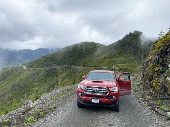
Taco did a great job on this day…
Looking down at where my Taco parked
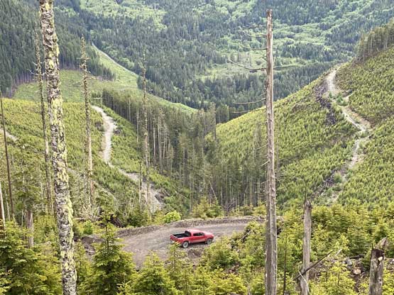
There was a little bit of views from the road walk

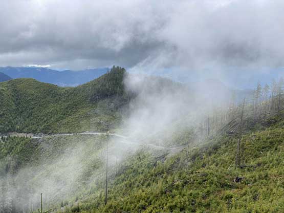
On the uppermost switchback now. I think that’s Mt. Olsen
As you can see the south ridge of Mt. Spencer is flagged
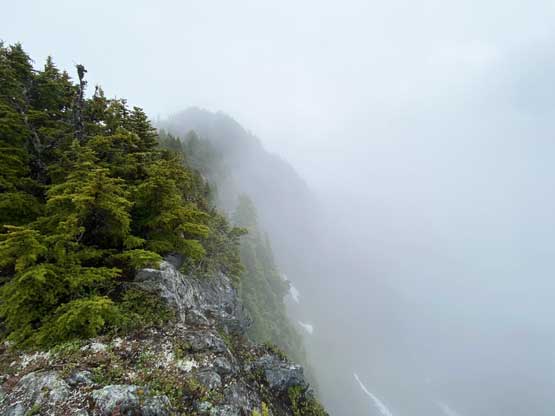
The summit is finally in sight through the mist.
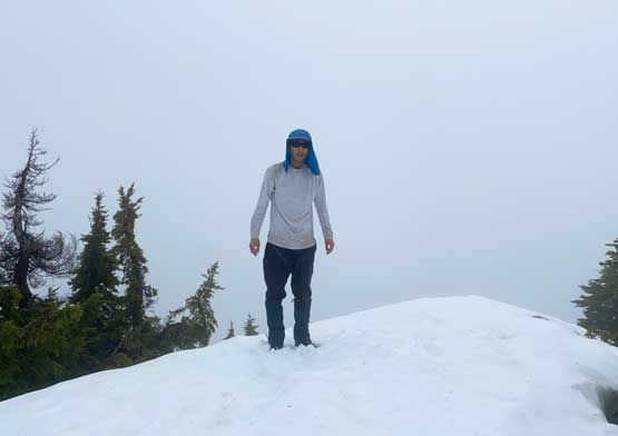
Me on the summit of Mt. Spencer
At this point I figured there’s still a chance I could catch the last ferry back to the mainland at 8:15 pm so I made a hasty retreat descending as fast as I could running all sections on snow. While re-ascending the south peak I found a fixed rope with more flagging and even a proper path bypassing the summit. I had to cross a few steep snow slopes in order to stay on this trail but it’s still faster than going up and over the sub-peak.

There’s even a fixed rope
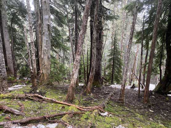
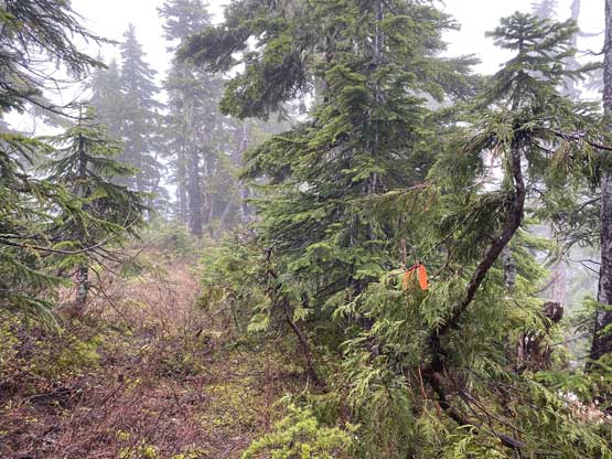
The typical forested descent off the southern sub-peak

I took a short-cut trading distance for bushwhacking…

It’s Taco time again…
There was no point in lingering. I even decided to eat dinner while driving down the steep logging road. It worked out in the end but not very pleasant. I then raced the gravel road northwards to Port Alberni and then cruised eastwards down Highway 4 and then southwards to Nanaimo. I checked the reservation but it’s full. I still had a chance for the standby so I raced all the way to the terminal arriving about 20 minutes before the departure. However, not to my surprise the ferry was completely full so I was stuck on the island for one more night. I was pretty pissed so to fill in the night I opted to bag another peak. I browsed the map and decided on Mt. Richards about 40 minute’s drive to the south.
