Mount Rose (Swanson)
May 27, 2019
968m
Armstrong, BC
I know at least several peaks with the name “Mt. Rose” in various regions so not to be confused with the other “Mt. Rose”s this is a small wooded hill located immediately next to the city of Armstrong in the Spallumcheen Valley of the interior British Columbia. There are confusion regarding the exact location of the summit of Mt. Rose as well as the nearby Mt. Swanson. The two peaks were named for the same person (Rose Swanson) and are close together. However, the ones surveyed and marked by the government are different from the “locally accepted” ones. In particular the locally-accepted Mt. Rose and Mt. Swanson are easier to attain with network of trails running all the way to the summits, but the government-surveyed summits are farther away and require some degree of bushwhacking.
The decision to hike up Mt. Rose (and maybe Mt. Swanson) were such a last-minute decision. I pulled the trigger while driving southwards from Sicamus towards Vernon and because I still had several hours of daylight time to kill. I did not have a computer with me so did all of the research on my iPhone which wasn’t an easy task. The “Rose Swanson trail” might be a popular hike locally, but the beta online wasn’t particularly enriched. In particular the trails weren’t shown on the Gaia GPS map so I did have to read the trail descriptions. I was very confused as where exactly were the summits because I initially noticed these peaks by years and years of “mapsturbating”, but apparently all of the trail descriptions used the locally-accepted summits’ locations. To sum it up I hiked the locally-accepted “Mt. Rose” and “Mt. Swanson” and bushwhacked to the summit of the officially-named Mt. Rose, but didn’t do the officially-named Mt. Swanson. As a peak-bagger I’m very serious about the names of peaks. I’m not super familiar with the area and there’s no indication that the official names becoming obsolete, so to be safe I’d only claim the summit of Mt. Rose here. I tagged both the unofficial and the official summits of this mountain so I’m 100% sure I had indeed bagged it.
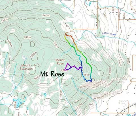
Mt. Rose via Rose-Swanson Trail. GPX DL
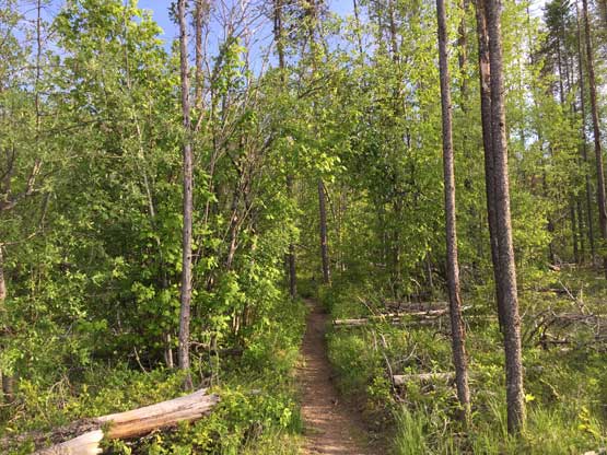
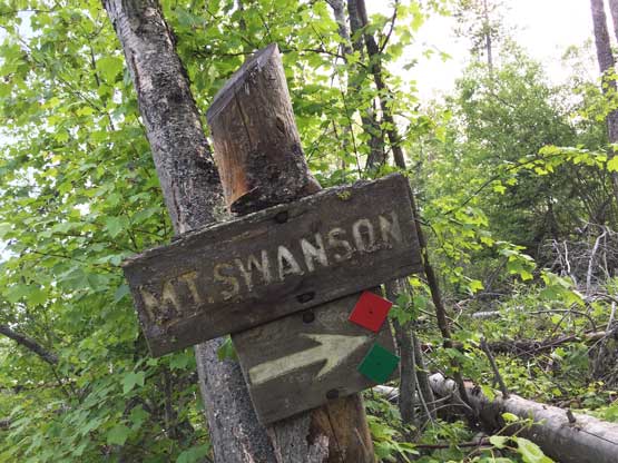
I followed the Google Map app direction to the trail-head and to my surprise I was the only one, and in fact I saw nobody on this entire hike. There were many signs on most of the important junctions and the signs did a good job explaining the differences of the names. I decided to do a loop hike tagging the unofficial “Mt. Rose”, the unofficial “Mt. Swanson” and then the official Mt. Rose. The trail to the unofficial “Mt. Rose” had some micro terrain up-and-downs, but the view from the summit was better than I thought with unobstructed vista down south.

As typical as the main trail goes

Starting to get some views looking north
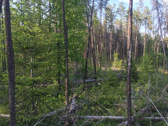
As you can see the forest here must have undergone serious logging
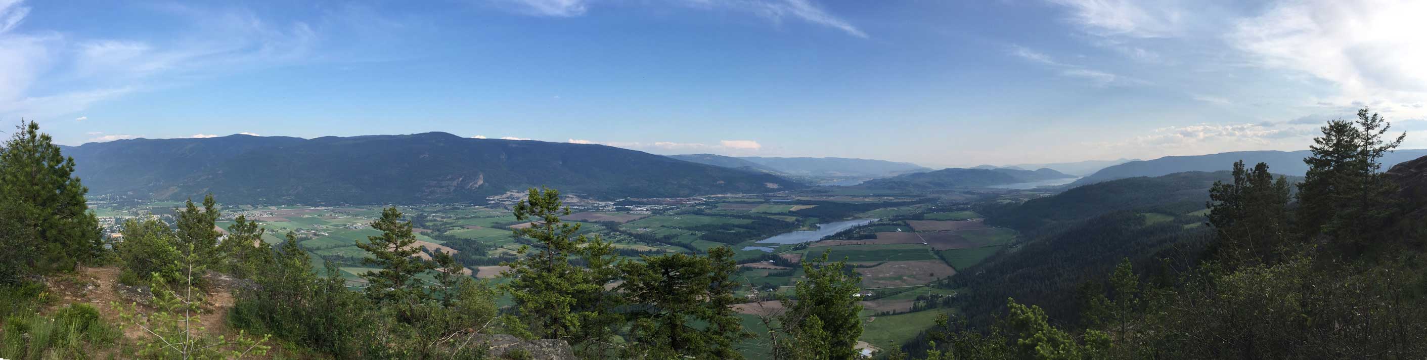
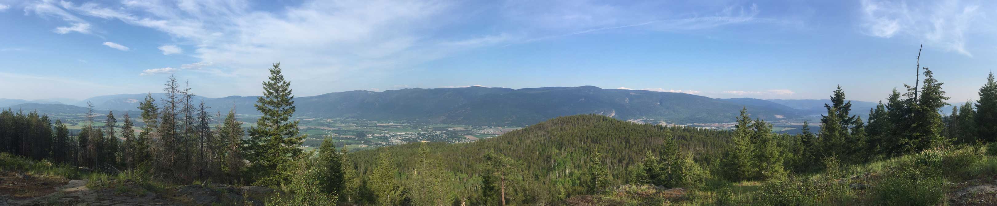
Summit Panorama from the “locally-accepted Mt. Rose”.. Click to view large size.
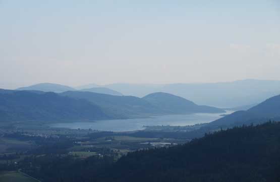
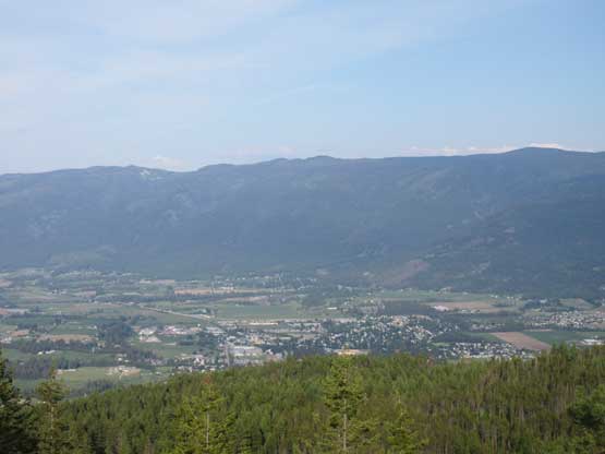
Zoomed-in view towards Okanagan Lake near Vernon
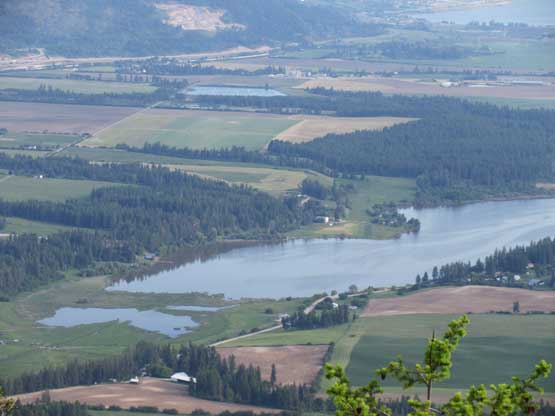
Otter Lake immediately to the south

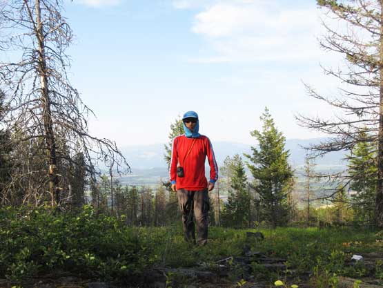
Me on the “locally-accepted Mt. Rose”
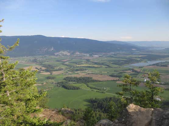
A wider view of Spallumcheen Valley
After snapping several photos I picked up a connector trail and followed the signs towards the unofficial “Mt. Swanson”. This section of the hike was a little steeper and the view was different from the previous summit.
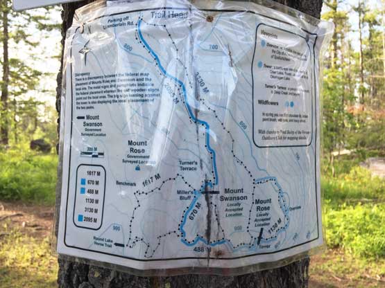
The trail map explains the names well
This “Mt. Swanson” refers to the locally-accepted summit
Summit Panorama from the “locally-accepted Mt. Swanson”. Click to view large size.

Zoomed-in view towards Enderby Cliffs the most iconic feature around here
The city of Armstrong showed up

Me on the summit of the “locally-accepted Mt. Swanson”
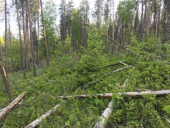
Again after snapping several photos I soon turned my attention to the real summit of Mt. Rose which was supposed to be not far away. I followed the trail to as close as it could get (~200 horizontal meters away), but the bushwhacking was fairly bad with a ton of dead-falls to negotiate. The going was slow but at least I didn’t have to cover a ton of distance nor elevation gain. The official summit of Mt. Rose had the worst view so I didn’t snap any photo other than an obligatory selfie. Down I went I picked a short-cut and surely it involved more bushwhacking over dead-falls. Once joining the main trail I had no further issue getting back to the trail-head.
Time to leave the trail for some bushwhack

As much as the view goes from the official summit of Mt. Rose
Me on the official summit of Mt. Rose
Taking a short-cut which probably costed more time..

If you aren’t careful you’ll have to bushwhack through this…
That evening I followed the Google Map app westwards down Highway 97 towards Kamloops, had a big Chinese dinner in the city, and resumed the drive all the way to Coquihalla Pass. It was past 11 pm and I was too tired to continue, so pulled over at Coquihalla Lake exit and slept in my truck. The next morning saw some nice weather and I made a spontaneous decision to drive/bushwhack up Mt. Britton for the sake reason of why-not…
