Mary Hill
May 11, 2022
85m
Coquitlam, BC
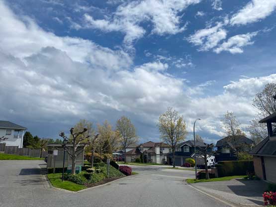
Believe it or not the pimple of Mary Hill in Port Coquitlam actually has an official name so this counts as a legitimate summit in my book even though it does not even have 100 m elevation let along 100 m prominence. There are a few more officially-named bumps in Metro Vancouver including Burnaby Mtn., Capitol Hill and Little Mountain but this one is significantly more dumpster-ish. The entire hill including the summit is occupied by residential areas. The very summit (with a spot height of 85 m on BC Basemap) is literally in someone’s backyard. I hadn’t even noticed this “summit” until recently as the name wasn’t very obvious on the topographic maps. I eventually discovered this “treasure” on the peakbagger app and immediately decided to cross if off the list.
Kat happened to have most of the day available and my work somehow would not start until 5:30 pm so this seemed like a perfect plan. For once we didn’t even need to rush. This is a “peak” that we could have driven to the summit but I decided against that as part of the reason of going there was to exercise. We left White Rock at 8:30 am and firstly made a detour to Richmond and then proceeded towards Coquitlam. I got to drive Kat’s fancy vehicle this time and the driving experience was awesome. There are reasons why this brand costs a couple times more than my Toyotas… We made to the base of Mary Hill at around 10 am. Immediately after turning onto Citadel Drive at the bottom of Mary Hill I pulled over and parked. We could have driven further, but I wanted to hike the entire elevation profile, if possible..
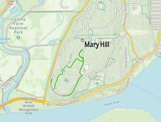
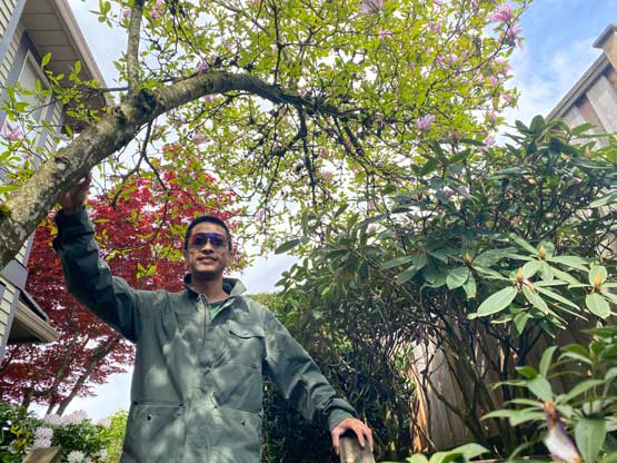
We had driven through periods of rain from Richmond to Coquitlam and that contradicted the “a mix of sun and clouds” weather forecast. The rain magically stopped when we parked, but came back quite heavily in less than 10 minutes after starting the hike, or the “urban stroll”. Kat was worrying that I didn’t dress properly for the weather but I needed not take her warning seriously. We proceeded onwards nonetheless and in short time the rain stopped. We then turned onto Confederation Drive passing an elementary school and then turned onto a smaller driveway where the true summit seemed to locate. I had to consult with the peakbagger app to determine where exactly was the highest point. The high point locates on the far side of this driveway in someone’s backyard. I sneaked in and tagged the high point by ascending some staircases. Kat followed me but didn’t go as far as I did but I considered that as “good enough” nonetheless.


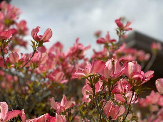

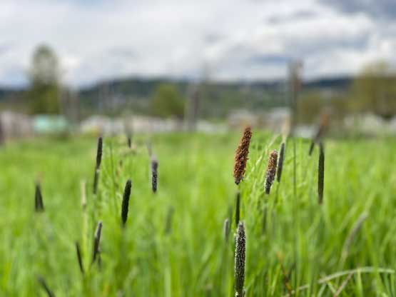
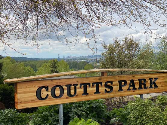
On the “descent” we opted to explore a different route. One can tell that my sense of direction is terrible in the urban areas as I needed to check the GPS multiple times to not disorient ourselves. A few forks later we entered Coutts Park and walked straight through it back to pavement. We stopped frequently to take pictures of the abundant flowers in the area. Our round trip time was exactly 1 hour covering over 3 km distance.


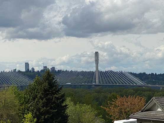

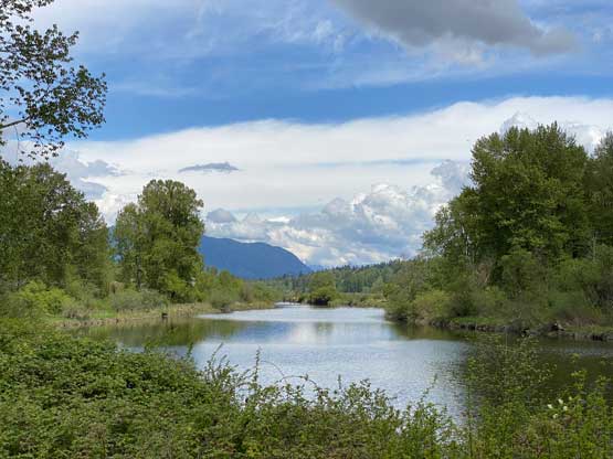
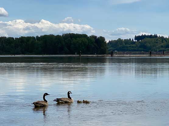
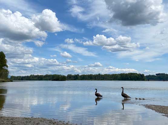
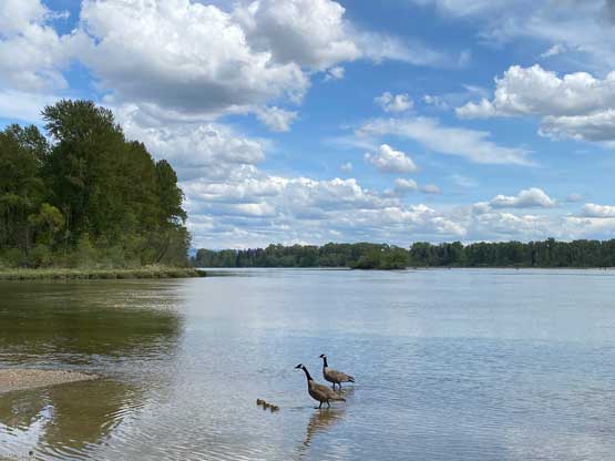
We then drove into downtown Coquitlam for a higher-quality Korean BBQ lunch and that was great. I was starting to get quite hungry for not having breakfast nor bringing any food for the “hike”. We still had time to kill so drove back to Coquitlam River and spent another hour walking to the Coquitlam/Fraser confluence and exploring the trails in that zone. The weather had fully cleared so we actually got some nice views. We eventually got back to White Rock at 3 pm. I napped for almost 2 hours before showing up at work, and eventually finished the day at 10:40 pm.