Shunda Mountain
April 6, 2012
2080m
David Thompson Country, AB
The forecast for this past Easter long weekend was pretty good and I was keen on some bigger plans. Friday looked to be the worst among all four days so I decided to take my mom up Shunda Mountain near Nordegg for warming-up. This mountain is also known as Baldy Fire Lookout. Since I’m a peak-bagger, I prefer the name that’s associated with a “mountain”. It’s adjacent to the more popular Coliseum Mountain and starts pretty much at the same place.

Shunda Mountain hiking route
This doesn’t seem like a popular objective so I’m giving some direction. Drive along Highway 11, turn right to RR 152A about 300 m past Nordegg turnoff. Then keep left towards Shunda Hostel. In summer, turn right at the Y-junction then keep left all the way to the Gate. But for us, we had to park at the Y-junction due to the snow. We did try to drive up the road, but turned back immediately. My car almost got stuck in the snow. After some pushing and shoveling I managed to back-track to the Y-junction. Then we tried to drive to the nearby Shunda Hostel, but failed again. Again, my car almost lost control on the last steep down-hill, and thankfully I managed to stop the car. After some intense moments I turned around and drove back to the Y-junction. It sucked big time without winter tires!
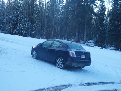
This wasn’t a good place to play around with my 2WD without winter tires!
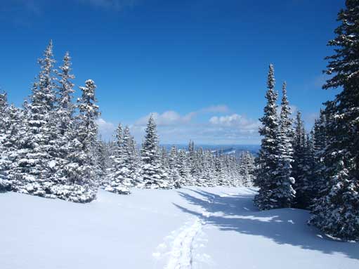
The next morning we woke up very early since we had to walk the full length of that road. We had to break trail with snowshoes pretty much all the way up, and the supposed warming-up trip turned to be quite a slog… It was boring and tedious as the view only showed up when we topped out on the summit. There’s no need to describe the route as you are following the road to the summit.

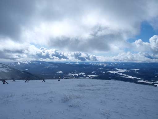
Morning view

Zooming-in towards our objective. It was much farther than it looks in this photo.
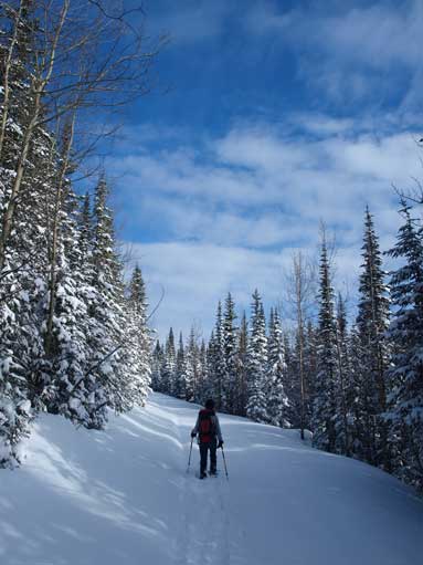
Typical
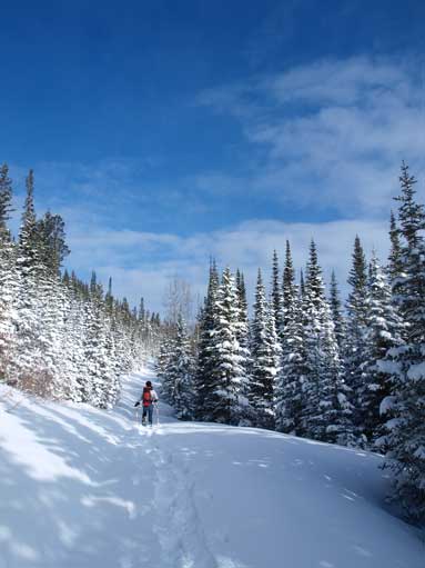
More typical view on the approach road
Eventually we made to the gate. In summer you can drive up here
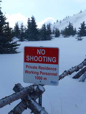
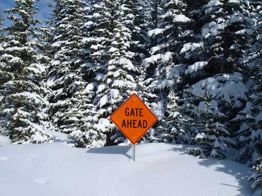
Near the summit, we encountered this sign
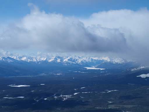
Nice view towards Abraham Lake

Neat clouds
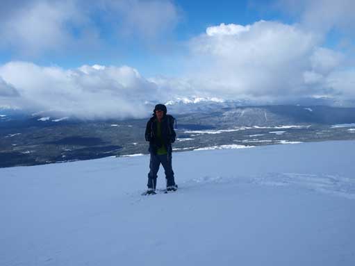
Me on the summit
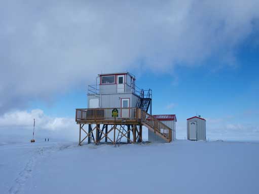
A weather station?
More interesting clouds towards south
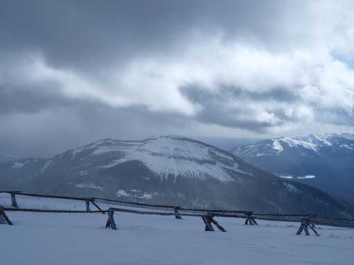
Coliseum Mountain
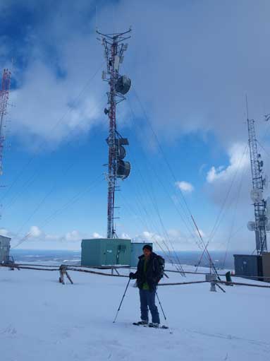
Me with a giant structure behind.

Time to go down. It’s unusual for this area to have this amount of snow.
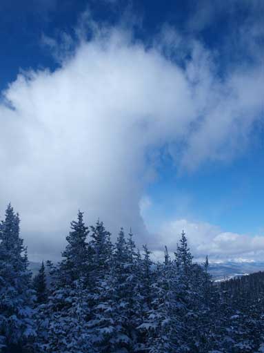
Neat clouds again!
The sky was clear towards East
After some quick summit shots, and admiring the giant structure on the summit, we leisurely walked back down to our car. We stopped on several viewpoints along David Thompson Highway particularly to examine the route up Mount Michener. And then I went down to Mistaya Canyon checking things out near Saskatchewan Crossing. It was pretty boring. Later in the afternoon, we drove to Bow Lake, and the story continues to next day.

Abraham Lake
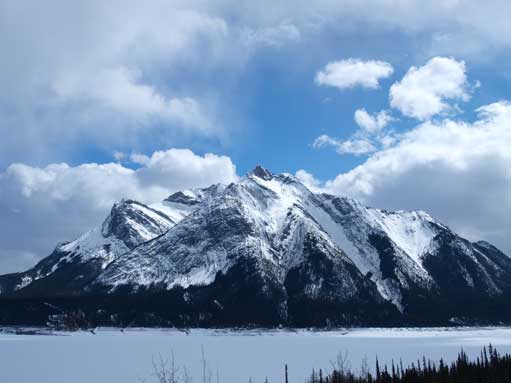
Mount Michener
