Center Mountain
October 6, 2012
2700m
Jasper – Skyline Trail, AB
Center Mountain is one of the “forgotten” peaks on the Skyline Trail area. It locates relatively close to the trail as well as Tekarra Campground, but sees very little traffic. In particular, I couldn’t find a trip report before doing this ascent myself. It makes no sense to tackle it alone and in fact, I combined it with the nearby Excelsior Mountain, Amber Mountain, and Mount Tekarra to make a full day.
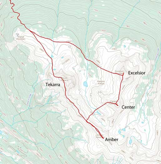
Ascent routes for Excelsior, Center, Amber and Tekarra
It was a long trek up Excelsior Mountain from the parking lot and by the time I got there, I was quite behind schedule so I had to speed up a bit. I quickly made my way down the south/southwest ridge. To my surprise, this involves much less boulders comparing to my ascent (west slopes) route. It didn’t take me long to drop down to Excelsior/Center col.
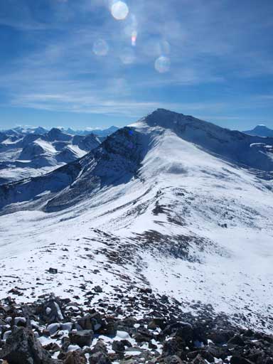
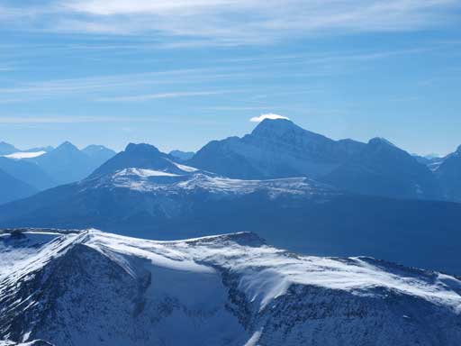
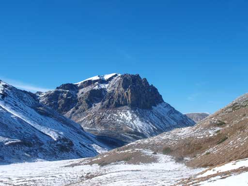
Looking at Center Mountain from partway down Excelsior Mountain
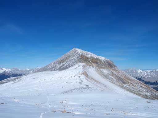
Looking back at Excelsior Mountain
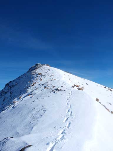
Slogging up Center Mountain was easier than I thought. The lower slope was good snow. Boulders didn’t come until I was 2/3 of the way up. There were several rock crevasses near the summit. They weren’t completely covered by snow though, but this really alerted me. I did make a lot of probing though. If you don’t probe, you’ll get surprised often, and possibly break your legs or twist your ankles… The traverse from Excelsior to Center took me 1.5 hours.
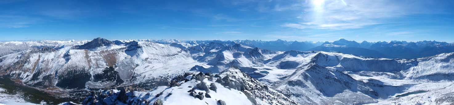
Partial Summit Panorama
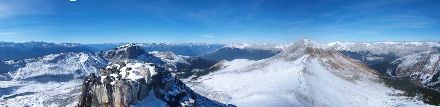
Partial Summit Panorama
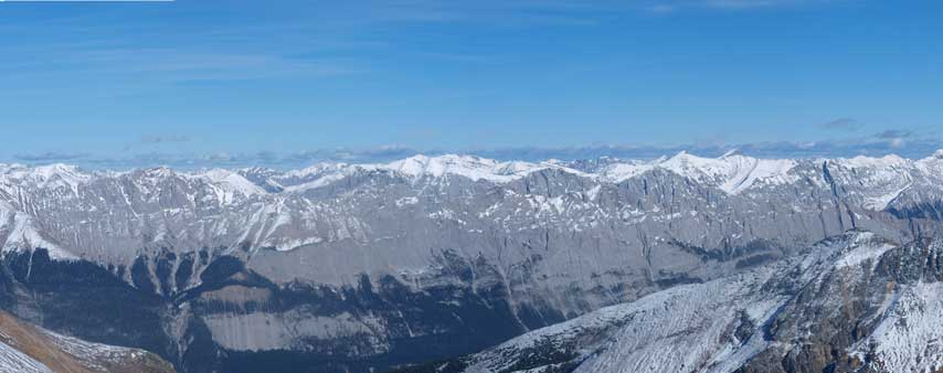
Queen Elizabeth Range
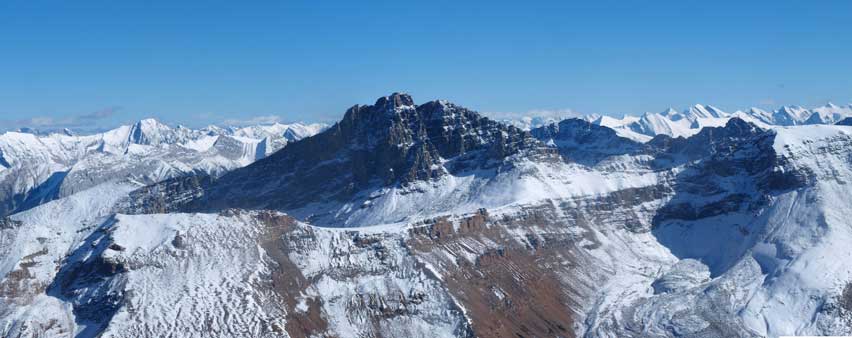
The Watchtower
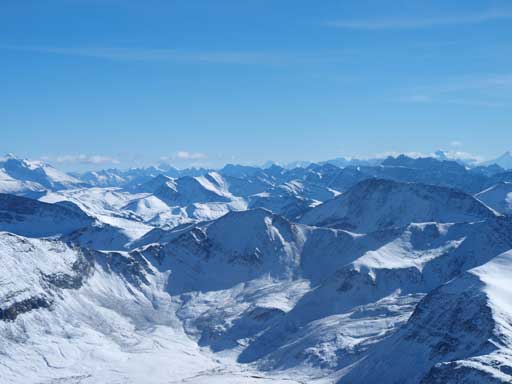
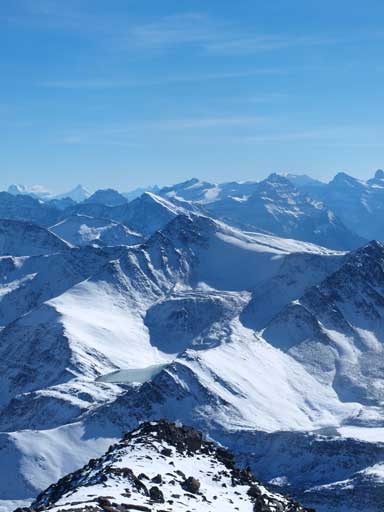
Looking south, a sea of peaks
Mount Edith Cavell
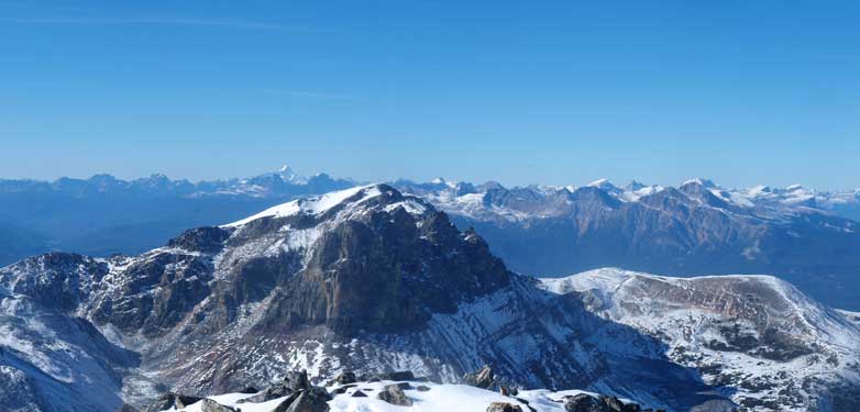
Mount Robson poking behind Mount Tekarra
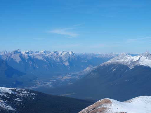
Athabasca River Valley. Gargoyle Mountain at center
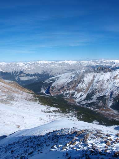
Excelsior Creek
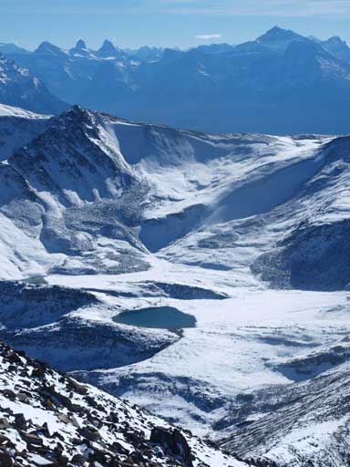
An alpine tarn. On the skyline are Mount Christie, Brussels Peak, Mount Fryatt
Another tarn. Behind it on right side is Mount Kerkeslin. On the far left you can see North Twin and Mount Columbia
The connecting ridge to Amber Mountain didn’t look inviting. It’s not because of the difficulty, instead I just didn’t want to deal with another 2 hours of boulders.. I knew the Skyline Trail leads up to Amber, so maybe following the trail was a better option, although this way I had to drop down to valley floor. I descended the north ridge for a few hundred meters, and then turned skier’s left and got several hundred meters of scree run! Thanks! But the terrain soon changed to boulder field again… It was pretty close to the bottom anyway, and I quickly made my way down.
Going down the NW Ridge
Looking back at the slope I just descended.
Mount Tekarra, my 4th objective of this day.
Now what, I had to gain most of the elevation back in order to summit the third objective of this day!
