Doris Mountain
August 21, 2019
2267m
Kalispell / Columbia Falls, MT
Doris Mountain is a rather dull-looking, but locally prominent summit rising above the plain of Kalispell area. The wooded ridge is highly visible from the close vicinity. The access is via Doris Ridge FSR from Hungary Horse Reservoir and with a decent 4×4 vehicle one can drive to within 500 m elevation from the summit. The round trip distance is less than 10 km making an ideal half day outing. Adam and I were tired after an ascent of Snowshoe Peak the day before. Our original plan was to take a rest day but I noticed Doris Mtn. on the topographic map and a quick search on Google saw us driving up the increasingly bad Doris Ridge FSR at night. The road didn’t impose much of a problem to Adam’s Subaru but took a long while, like well over an hour. We set up camp and cooked some Indian dinner at 9:30 pm and didn’t wake up until way past sunrise the next morning.
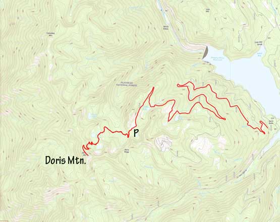
Doris Mountain via Doris Ridge Trail. GPX DL
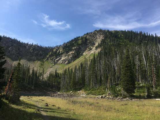
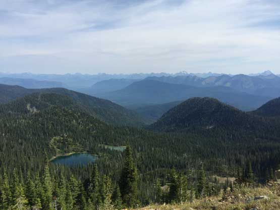
The first business was losing over 150 vertical meters down to a basin before ascending gradually towards Doris Lakes. The entire ascent would be done on a decent trail but the elevation loss was still annoying, especially given our tired legs and the toasty summer heat. Doris Lakes were boring that we didn’t even bother to take a picture. In fact, the entire hike was extremely boring until breaking out of the trees on the last 100 vertical meters. The summit had great views of the giants in Glacier National Park a little to the west. We could see the triangular fang of Mt. Stimson, our next objective.
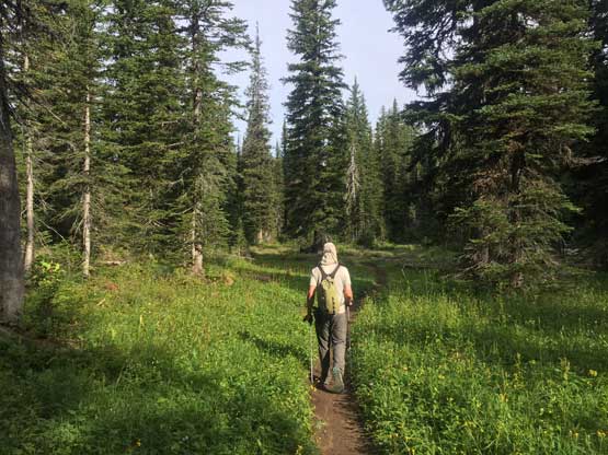
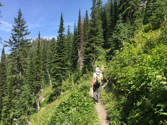
Hiking in the lower basin after dropping down from the parking lot
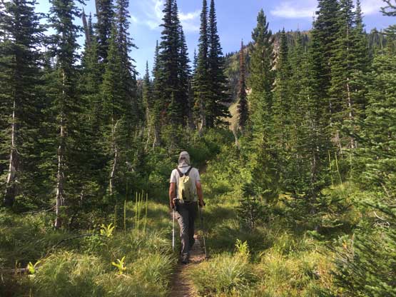
This is the typical scene on this hike.
Doris Mountain from the Doris Lakes basin

Partial Summit Panorama from Doris Mountain. Click to view large size.

Partial Summit Panorama from Doris Mountain. Click to view large size.

Me on the summit of Doris Mountain
Looking back down into Doris Lakes basin

Adam exploring the summit of Doris Mountain

Another photo of me on the summit of Doris Mountain with the GNP skyline behind

The vast plain of Kalispell

Mt. St. Nicholas is a technical summit is southern G.N.P.
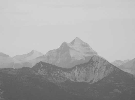
Mt. Stimson the second highest in Glacier, our next objective

Mt. Jackson is one of the six 11,000ers in Glacier National Park
There were a shit ton of flying ants on the summit so despite the views we didn’t stay long. We did make some internet connection to Mt. Stimson’s team to make sure everybody’s on the same page. The descent was uneventful but felt like a sad slog, especially that 150 m regain at the end. We were both looking forward to that stretch and it sure didn’t disappoint us in the heat. Adam relocated the car to a shady spot and we spent the next 2 hours packing for a 5-day expedition to Mt. Stimson. Once the packs were done we slowly drove down the winding logging roads and had some great views of Great Northern Mountain on the southwestern edge of the park.

Time to leave the summit

One last photo to show the western skyline of Glacier National Park
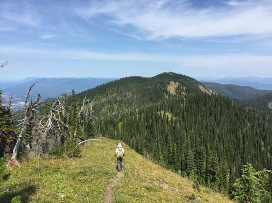
Adam walking down the ridge of Columbia Mountain ahead

Back down into the basin. It was a very toasty summer day…
The last 150 m regain to the parking lot was the most enjoyable of this day…

Great Northern Mountain behind Hungary Horse Reservoir on the drive down
Our next stop was back to Kalispell for a Mongolian dinner where we met Sean and Asaka coming from California. Connor would come and join us the next morning and the team finally formed together. The day wasn’t done yet for Adam and I thank to a casual mention of a drive-up P2K nearby by Sean. Adam and I had noticed Desert Mountain on the maps but we weren’t sure what exactly to expect on the roads. Sean and Asaka just drove to the summit a few hours earlier and that meant Adam and I no excuse but to do the same.
