Bald Mountain (Lake Cowichan)
February 7, 2021
637m
Lake Cowichan / Vancouver Island, BC
This is already the 4th officially-named “Bald Mountain” I’ve done so not to be confused with the other ones. This is the summit of a peninsula on the east end of Cowichan Lake of southern Vancouver Island. There’s a well-maintained trail that goes up the east flanks of the peak and an unofficial, but still well-used trail extends all the way to the very summit. I hadn’t heard much about this peak because I don’t live on the island, but apparently this is a very popular hike at least among the locals. The reason seems obvious as the view down to Cowichan Lake is pretty amazing. Vlad, Chris and I did this hike as a bonus objective because we finished Towincut Mountain earlier than anticipated.
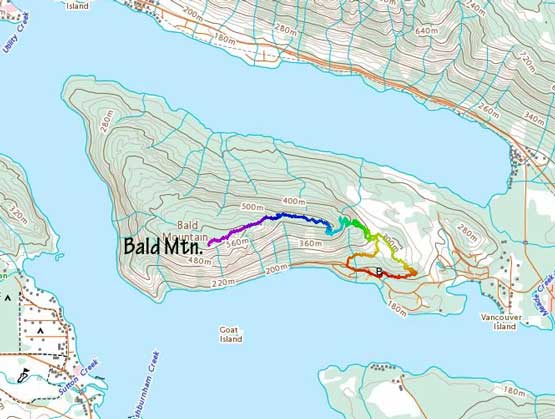
Bald Mountain hiking route. GPX DL
I let the Google Maps to direct us to the correct trail-head where at least two dozen vehicles were already parked. There are a few ways to start this hike and we picked the most obvious one. The switchbacks on the lower portions of this hike seemed unnecessarily flat and long but the views were good and we didn’t mind some extra exercise. We encountered a few junctions but all were well-signed.
Chris at the start of “Wetland Loop” trail

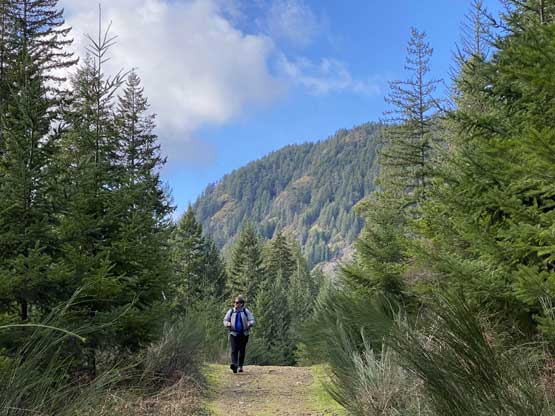
Vlad at the start of the hike
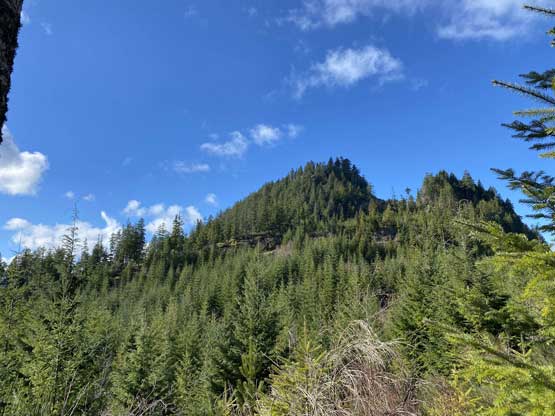
Bald Mountain itself isn’t a sexy looking summit…
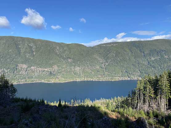
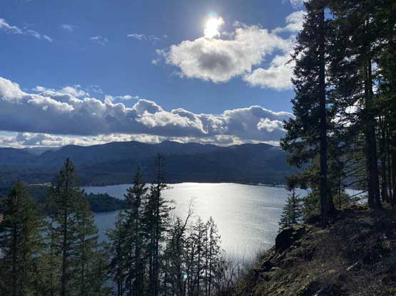
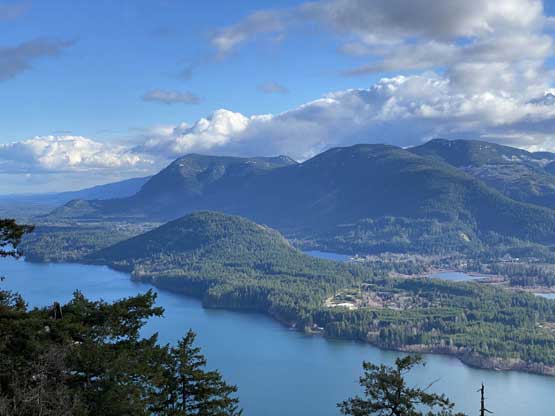
This is the view looking north down to Cowichan Lake
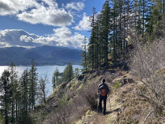
Vlad plodding on the trail.
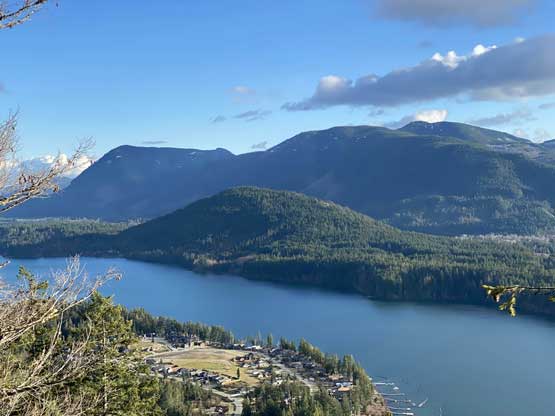
The southern view also looking down on Cowichan Lake
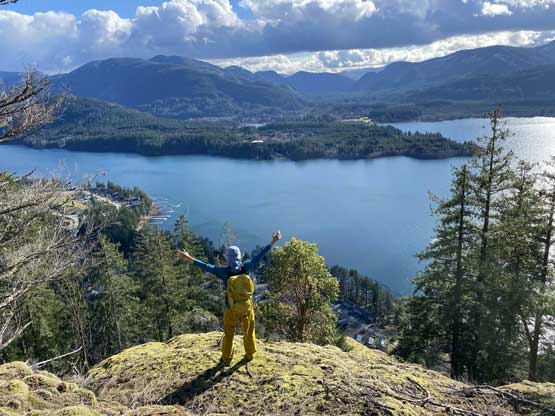
Me posing on one of the viewpoints
Once we made to the broad east ridge of the peak the official trail came to an end. The rest was about 2 km of march across this broad and flat ridge to the summit with a few more good viewpoints on the way. The unofficial trail was still well-travelled and easy to follow, but became bushy towards the end. The summit itself was not as scenic as the viewpoints we had just passed.
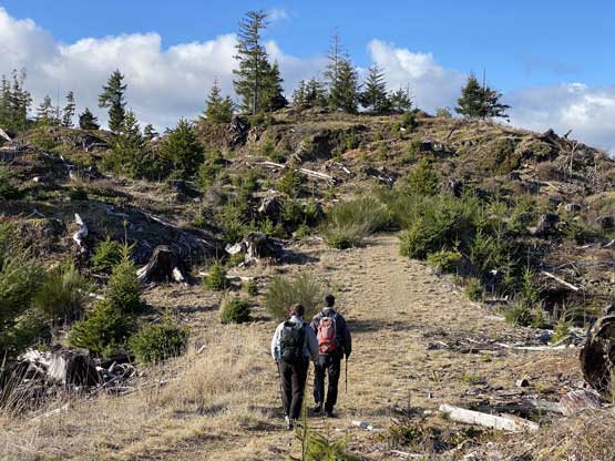
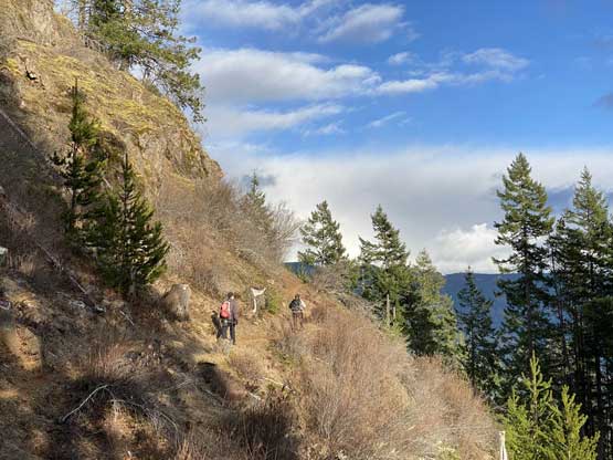
Chris and Vlad hiking on the upper trail
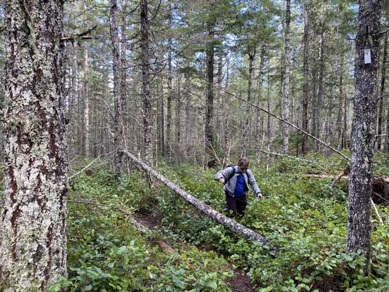
Negotiating an overgrown stretch
“Mesachie Mountain” is the lowly bump left of center
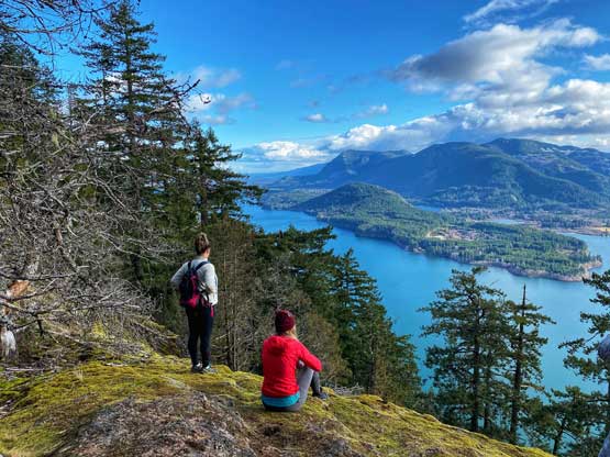
Another group enjoying this lovely viewpoint
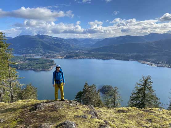
Me on the summit of Bald Mountain

Our group shot on the summit of Bald Mountain
We lingered for about half an hour before committing to the descent. Once back to that endless switchbacks zone we somehow decided to take a “short-cut” down what seemed like an abandoned ATV road. This road was steeper than the trail so offered a faster return.
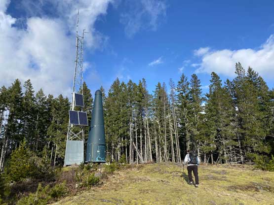
Even this lowly summit has an ugly green dick…
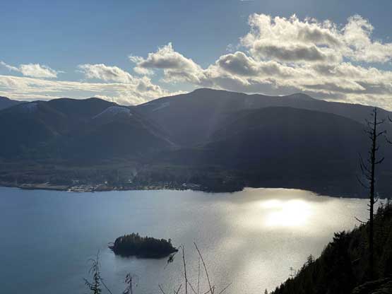
Late afternoon view across Cowichan Lake
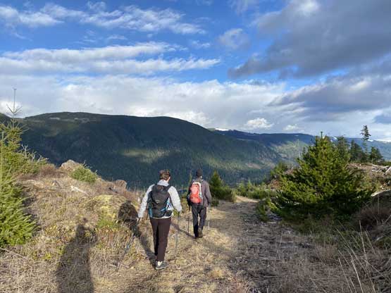
Plodding back across the unmaintained portions of the trail
One last look at Mesachie Mountain and Lake Cowichan
Already back down to the maintained portion of this trail.
Vlad checked the ferry schedule while descending. I was not hoping to catch the 5:45 pm ride back home so we weren’t in a rush for the two hikes, but now we realized we had a chance to catch the early ride home. We had about 1 hour 20 minutes to the sail and the drive would take 1 hour 10 minutes. I sped the way to the Duke Point terminal, we did manage to get in, and were eventually back home by 8:30 pm.
