Pavilion Mountain
October 26, 2021
2091m
Pavilion / Clinton, BC
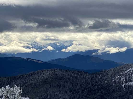
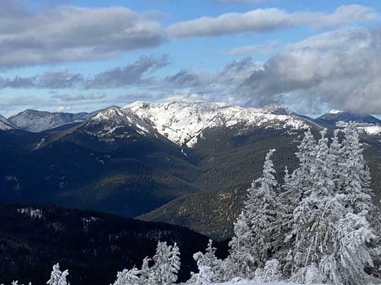
Pavilion Mountain is a broad massif that forms the southern section of Marble Range and subsequently boasts over 1000 m prominence. To the north is the main peaks of Marble Range including Mt. Kerr and to the south is Marble Canyon. A service road goes all the way to the summit of this peak from the unpaved Pavilion-Clinton Road and in summer or fall one can easily drive to the very top and such doesn’t even require an aggressive 4×4 vehicle. Matt and I opted to explore this area in “late fall” conditions when there’s already enough snow to warrant the use of snowshoes.

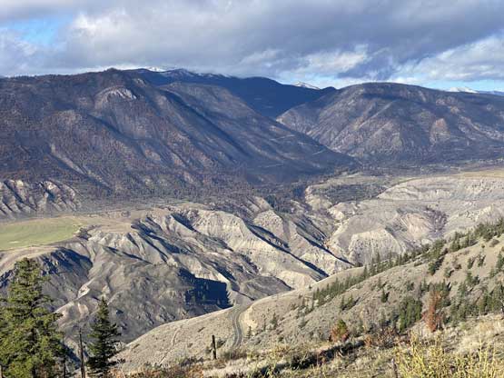
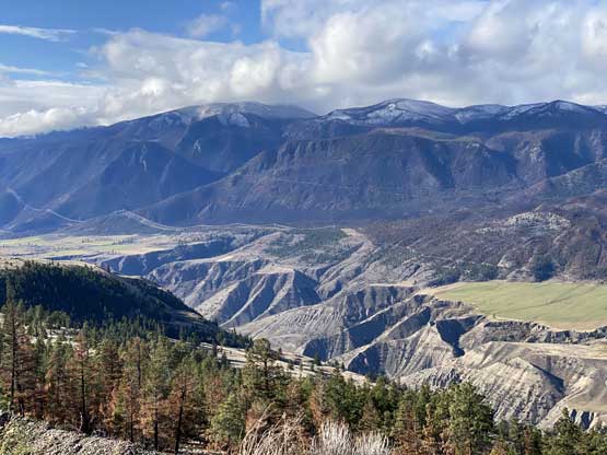
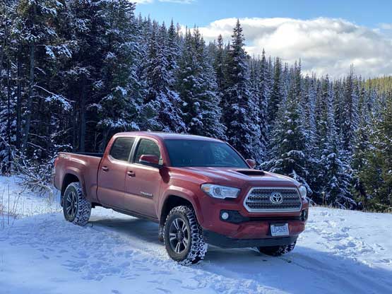
Earlier in the day we had already made an ascent of “Fons Peak” not far from Lillooet. We then drove north to Pavilion but the road going into the town of Pavilion was blocked by the locals. I thought we were fucked but we pulled over nonetheless and carefully explained why we needed to go through this small town. The guys eventually believed in our story and gave us the permission to drive in. The drive on Pavilion-Clinton Road was rather smooth but there were some muddy sections. The views looking back into the Fraser Canyon was already impressive. A while later we correctly located the turn onto Pavilion Mountain Road and not far up this road we started to encounter snow. There were tire tracks on the snow so I pushed as high as I felt comfortable, and eventually parked at 1830 m elevation. There were already 5-10 cm of fresh snow and the road’s grade looked rather intimidating ahead. This spot was over 5 km away from the summit, a bit short of where we planned to park.
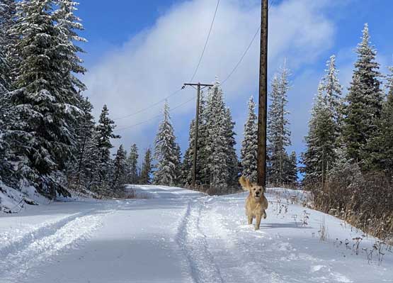
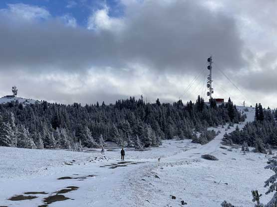
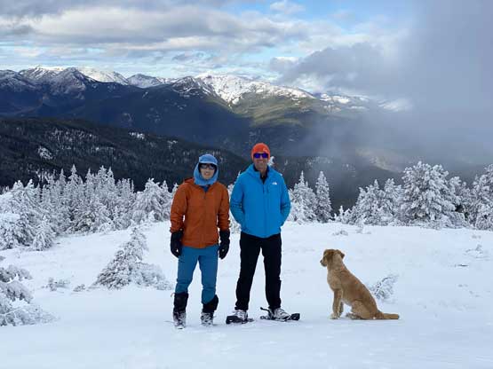
After forcing in some food we soon started the plod. We ascended steeply for over 100 vertical meters but soon had to lose most, if not all of the elevation on some undulating stretches. The tire tracks stopped at around 1950 m elevation. As soon as we started to break trail on our own I made the call to strap the snowshoes on. We did not have to use snowshoes on this day, but the extra flotation and traction sure helped the ascent. We followed the road all the way to where the “spot height” on the topo map was located. We then traversed the summit plateau to another highpoint about 500 m NW of the spot height, and determined that this was actually the summit of Pavilion Mountain. A third contender locates over 1 km to the north but seemed difficult to reach. The contour lines suggested that they all shared the same elevation within the map’s error range so if you are a prominence purist then you kind of have to traverse there as well. Matt and I debated about it but we eventually opted to focus on getting a 3rd peak done in the afternoon.


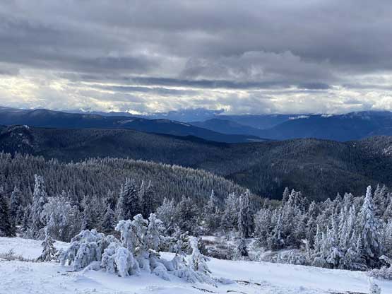


The descent was rather uneventful. We kept the snowshoes on for a long while until we were done with that major elevation regain. We then easily plodded back to the truck and drove carefully down the Pavilion-Clinton connector onto the paved Kelly Lake Road. We stopped for some photos and resumed the drive towards Clinton and then onto the maze of logging roads on Arrowstone Hills.