Lioness Peak (Resolute Mountain)
July 7, 2013
3100m
David Thompson Country, AB
Lioness Peak is the lower summit of Resolute Mountain, a peak that doesn’t get much attention since it’s right beside the more popular Rockies’ 11,00er, Mount Cline. Lioness Peak itself is lower and more “rounded” than its brother, Lion Peak, so it gets even less traffic. However, I should say that, both summits of Resolute Mountain deserve more attention, even just for the views. However, to get there, one has to do 1900 meters total elevation gain.

Resolute Mountain ascent route
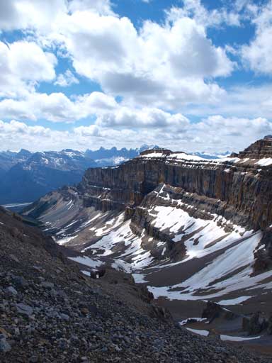
Due to the concern of afternoon thunderstorms, Vern, Ben and I started our day at 4:40am. After summitting the nearby higher Lion Peak, we were immediately on our way to Lioness Peak. We wanted to be there before the clouds rolled in. Lioness is right there, but it’s not as simple as it looks. There is no way to traverse the two directly. We had to backtrack to near the col between the true and false summit of Lion Peak, and then cut skier’s left towards the edge looking for a break. However, what we could see was just vertical drop, so we kept losing elevation on loose rubble. And then, around a corner, we were on our way side-sloping on tedious terrain around the base of Lion Peak. The terrain was ugly but we got amazed by the vertical/overhanging cliffs that we traversed under. We ditched our backpacks at one point since we’d be returning the same way.

Side-sloping…
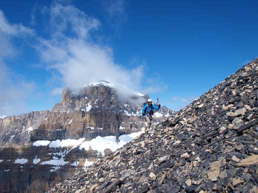
Not a pleasant terrain. But big views!
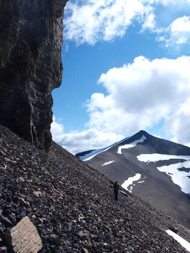
Traversing.
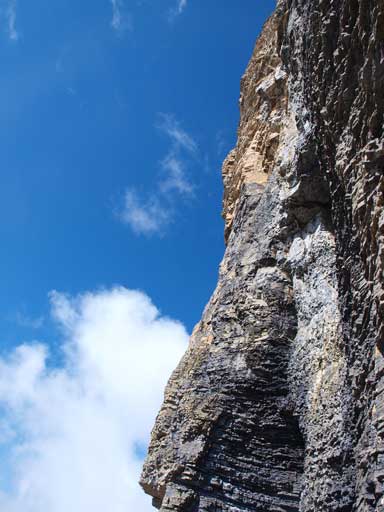
Look at this cliff band..
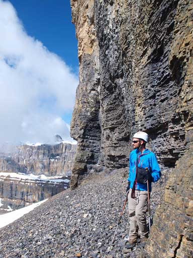
Ben beneath Lion Peak’s imposing cliff band
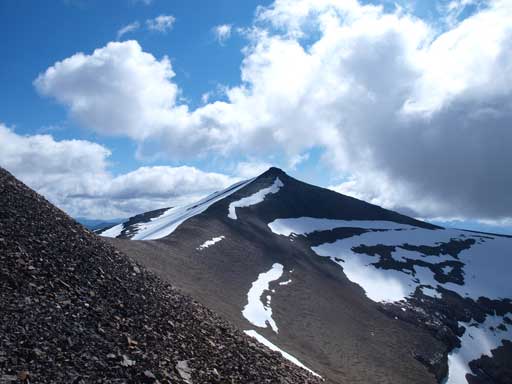
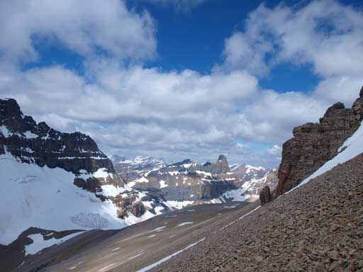
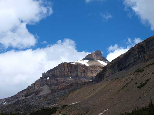
This is our second objective, Lioness Peak

Vern traversing beneath Lion Peak
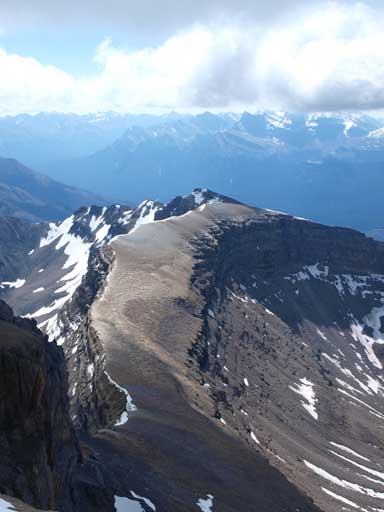
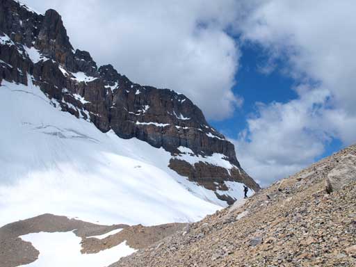
Once we made to the col between Lion and Lioness, we were speeding towards the summit trying to beat the clouds. Thankfully the clouds decided to hang above, instead of rolling in. Travelling was easy until the last bit where the terrain was very loose. Still, it’s easy scrambling to get up there. The views were pretty much the same as from Lion Peak, but my favourite shot from here is looking back at Lion Peak.
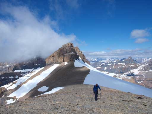
Hiking up Lioness Peak, with Lion Peak behind
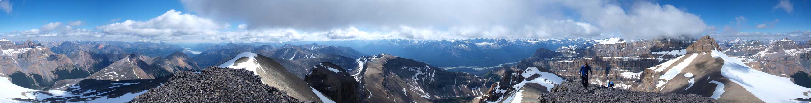
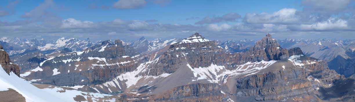
Summit Panorama. Click to view large size.

Looking back at Lion Peak
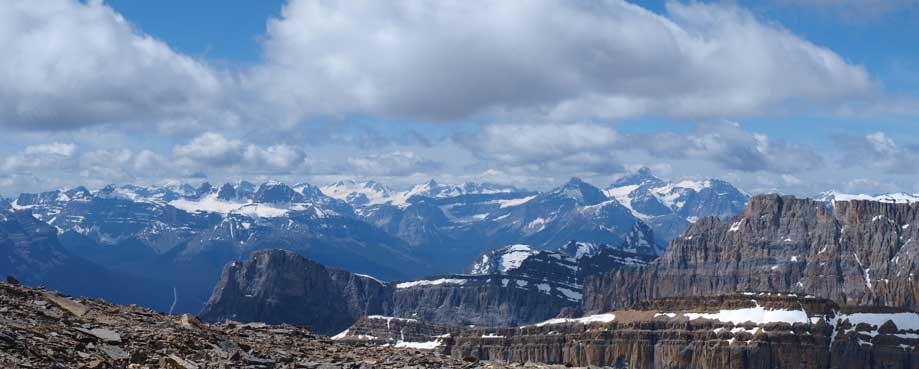
Freshfield Icefields, and Mount Forbes in the distance.
The three peaks of Whitegoat

Peaks in David Thompson Country.
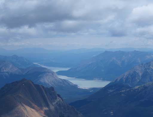
Abraham Lake and Mount Michener
An interesting looking ridge

Mount Wilson

Mount Murchison
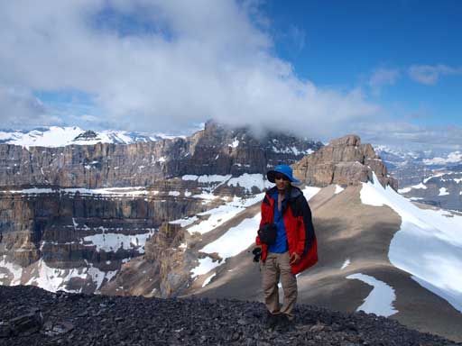
Me on the summit

Panorama looking north

Panorama looking south
On the way back, we briefly considered short-cutting the route by going straight down from Lion/Lioness col. It looked to be quite doable, but we knew that there are lots of cliffs in this area sandwiching between scree bands, and viewing from above meant we might not be able to see them, so we decided to play safe and retracing our up route. Instead of backtracking to near the false summit of Lion Peak, I dropped to the scree beneath and followed it (sideways though) easily back to Cline/Lion col. Vern and Ben, on the other hand, got some information that it’s not doable to short-cut this part, so they decided to spend an extra 20 minutes scrambling. I got a very nice break while waiting for them. I almost fell asleep though…
Traversing back towards Cline/Lion col

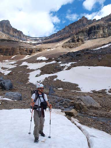
Mount Cline
We got prefect timing for snow condition on this day. After scree running most of the upper bowl, we merged to snow, and it was already soft enough to plunge-step, and yet not too soft to post-hole. That made our descent very easy for a long distance. Back into the trees, we tried our best not losing the trail. We stayed on a trail for most of the way, with the exception where we got lost in the morning. The trail around that part was indeed very hard to follow, but it was easy travel in burnt forest and hard to get lost. We managed to regain the trail lower down. Oh man that was such a long way out. It went on forever especially under the afternoon heat.
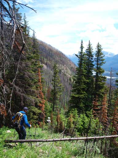
Looking down the long way out…
Fun scree skiing
Scree skiing with impressive view behind.

Vern with Mount Cline behind.
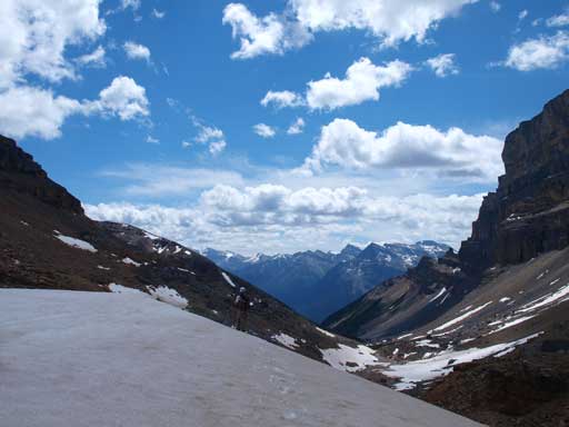
Looking down towards the way out. Gorgeous view behind.
Ben
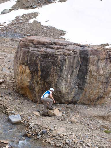
Ben climbing up a “boulder” for practicing.
Oh this is his real objective..
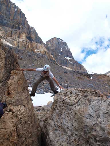
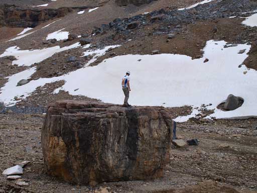
Fun time!
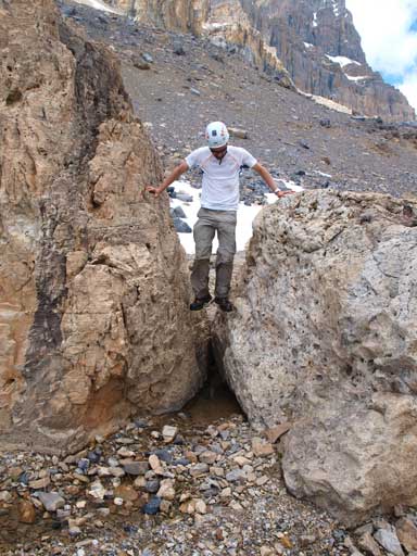
Same as above

What an enjoyable afternoon!
Looking back towards Lion Peak

Flowers
We managed to follow the trail pretty much all the way out
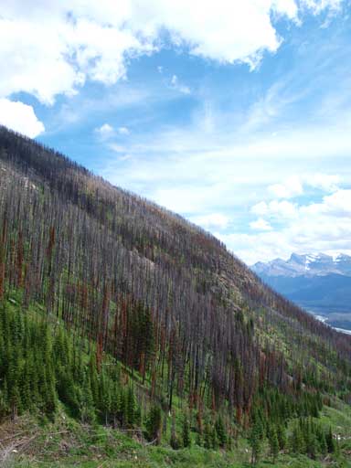
Even the treed slopes look good.

Paint brushes

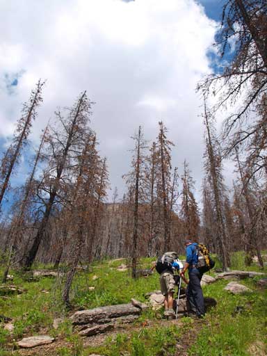
Ben hiking in the burnt forest
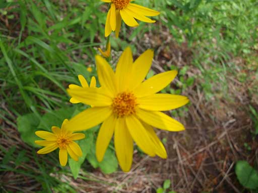
More flowers
Vern and Ben building a cairn
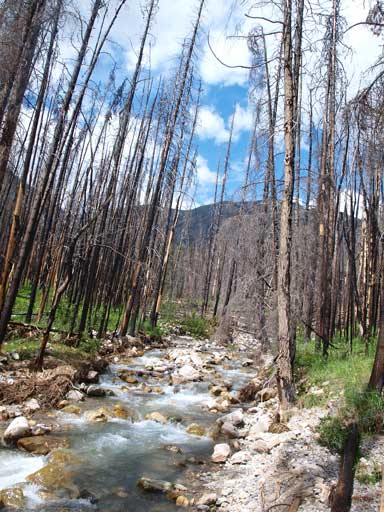
Back to the creek again.

A smaller creek

The burnt forest
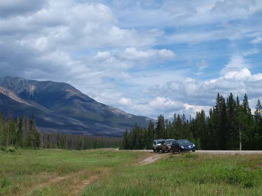
Back to the “parking lot”
Our round trip time was 11 hours and that was not a bad pace. Now after the few trips in a roll I was totally exhausted and the drive back home was tiring and I took 4 naps on the way.. And soon enough I’d find out that another plan had already been thrown around…
