Grizzly Mountain
June 7, 2014
2754m
Rogers Pass, BC
Not to be confused with the more popular Grizzly Peak in Kananaskis (one of the many beginner scrambles that I haven’t done yet), this one is in the Hermit Range of Selkirk Mountains. Ben and I did it as the second objective of our introductory trip to Rogers Pass area. Earlier in the day we successfully reached the summit of Ursus Minor Mountain, and having lots of time to kill, we decided to bag the nearby Grizzly Mountain as well.
Ursus Minor Mountain and Grizzly Mountain ascent route. GPX DL
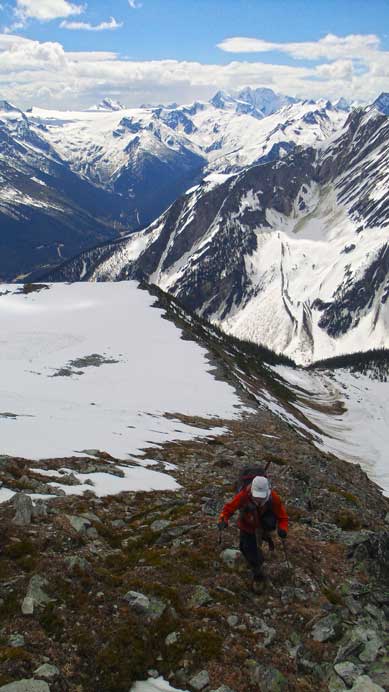
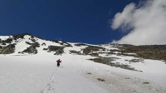
The standard route up Grizzly Mountain is via Teddy Bear Trees from Connaught Creek valley, however, from our earlier observation, it’s apparent we didn’t have to lose too much elevation. We found a nice snow ramp to drop down to Ursus Minor/Grizzly bowl, and then aimed for the least cliffy area on the opposite side of this bowl, hoping to crest Grizzly’s ridge while staying high. It’s not without challenge though. The traverse involved crossing some very large and steep south facing slopes that’s already slid (thankfully). And once exiting the snow, we had to ascend very steep (and foreshortened) grass slope followed by some moderate to difficult scrambling near the top. After that we were on Grizzly’s south shoulder.
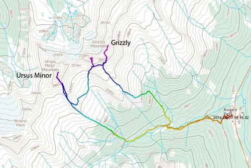
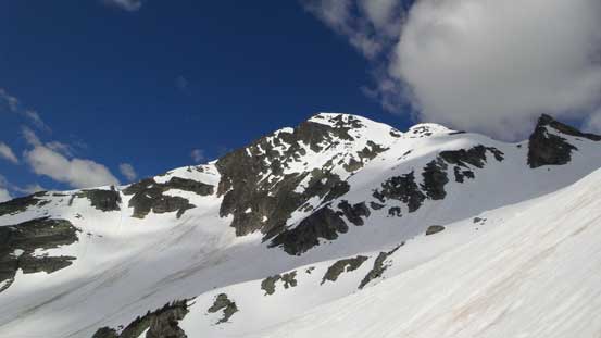
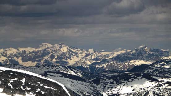
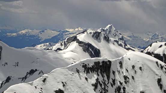
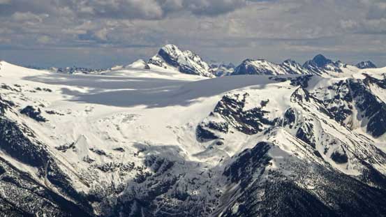
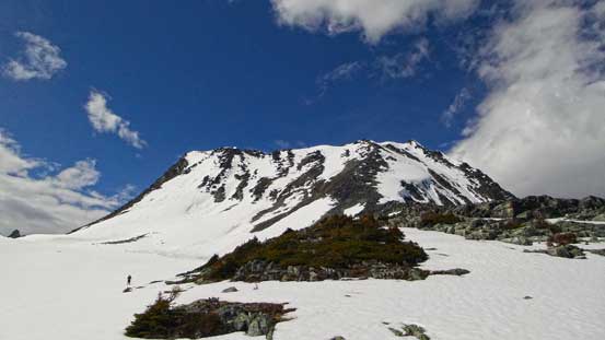
Grizzly Mountain seen from Ursus Minor’s shoulder. We broke through the rock band at middle of this photo.
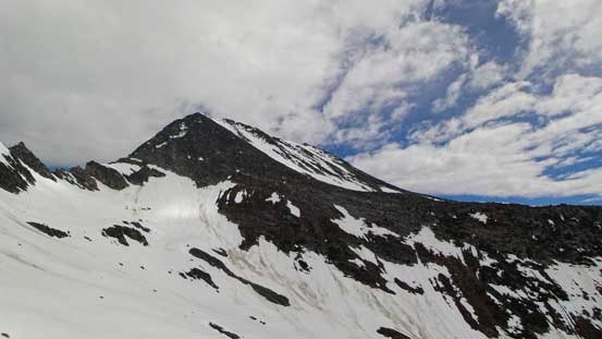
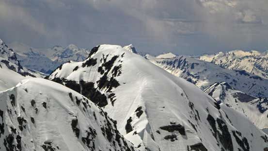
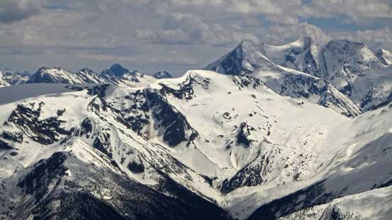
Taking a break. Cheops Mountain behind.

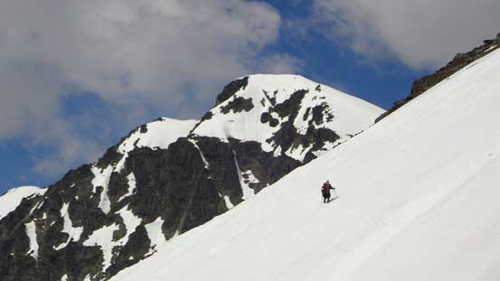
Me ascending snow. Photo by Ben
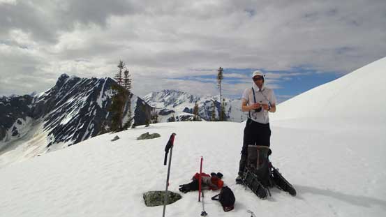
Merging onto firm ground
Looking back towards Ursus Minor Mountain

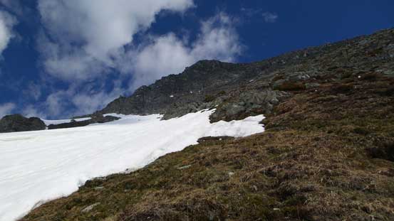
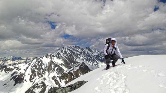
Ready to ascending steep grass
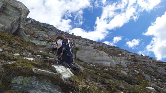
It’s steep. Tough work.
We made a big mistake thinking the summit was directly above us, thus ditched snowshoes and went straight up. Near the ridge crest we had to strap crampons on for some steep snow. Bad news arrived soon as we discovered the true summit being on the opposite side of the ridge, and getting there appeared to involve narrow and jagged ridge traverse with some big cornices. Not liking to take a chance on that, we decided to go back down the same way and traverse over way below where terrain was easy. This was downright frustrating but we had no choice. If the ridge didn’t go we’d easily waste an hour up there.
Ben ascending the wrong side of Grizzly Mountain

Me nearing the ridge. I’d soon don crampons as the snow was hard to kick in
Backtracking….
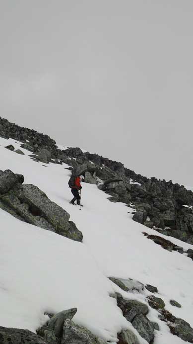
Back down to where we ditched snowshoes, we made another mistake thinking it’s doable to snowshoe across the big south facing slope. It was already in the afternoon so we expected the snow becoming soft, but that wasn’t the case. Switching gears again on the slope was awful, but in any case, we put crampons on, snowshoes in our packs, and went across the slope. Now we were pretty much directly beneath the summit. Ditching snowshoes, and up we went.
Crossing a big slope on the way traversing to the “correct” side
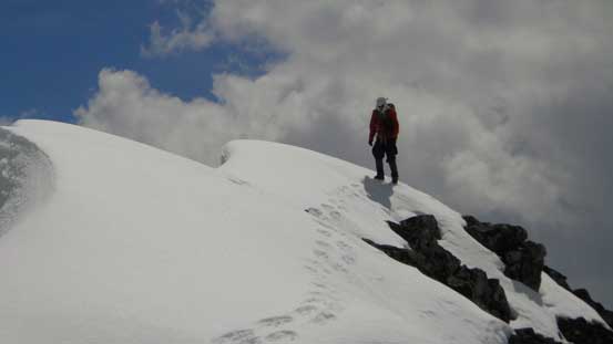
We managed to stay on either scree or boulders all the way to the ridge crest (some moderate scrambling higher up). Traversing to the false summit involved crossing snow (again, crampons on), followed by a short scrambling section (again, crampons off). And just after topping out, we saw another summit appearing to be at least equally high. To make sure we summitted this mountain, we had to traverse to that summit too. It was again, crossing some snow followed by 3rd class scrambling.
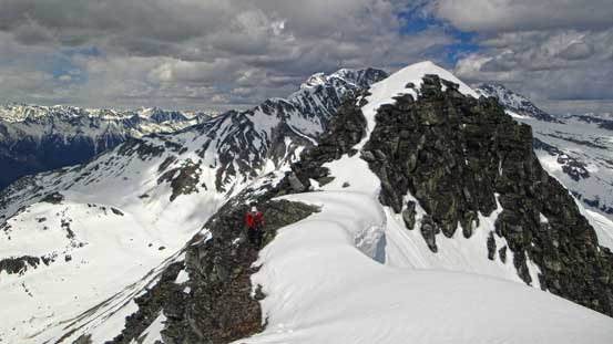
On the summit ridge, ahead is the false summit
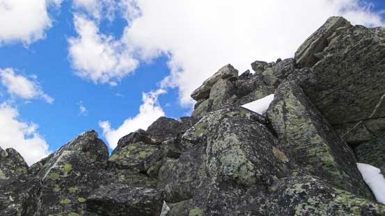
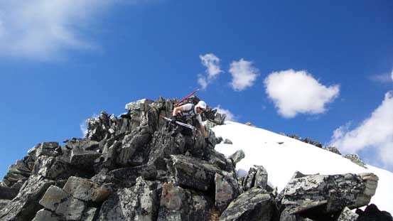
Scrambling blocky terrain

Looking back at Ben crossing a snow section
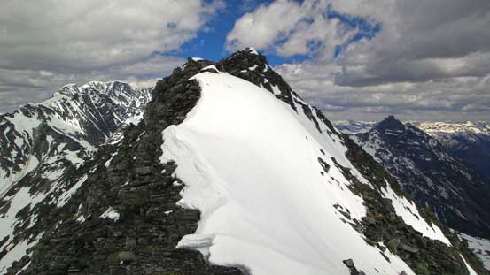
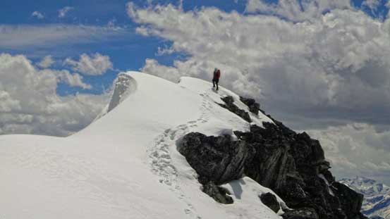
False summit
Ben ready to traverse to true summit
Same as above

Me with the false summit behind. Photo by Ben

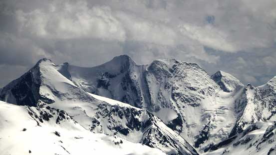
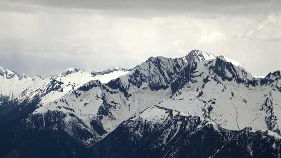
Summit Panorama. Click to view large size.
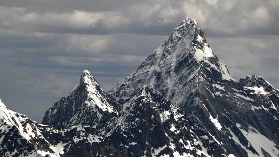
Mt. Sir Donald

Mt. Bonney
Mt. Rogers
Mt. Mummery and Mt. Laussedat in the Rockies
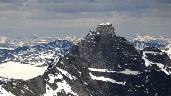
Impressive Mt. Tupper
Beautiful Mt. Dawson
Iconoclast Mountain
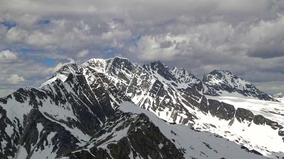
Ursus Major Mountain
Ursus Minor Mountain

Mt. Tupper and the valley Highway 1 goes through. It’s obvious why they need regular avalanche control in the dead winter…
Me on the summit of Grizzly Mountain
After a necessary break on the summit, we started to reverse our steps. Back down to where we ditched snowshoes, this time we decided to carry the ‘shoes while wearing crampons down the snow slope. This worked reasonably well until lower down when we started to post hole, so snowshoes on and crampons off. We thought we were home free by now, but oh man, that was so wrong… The snow was somewhat the worst for snowshoeing. The top layer went isothermal but the main snowpack was still strong. The slushy stuff started to ball under our snowshoes and then the ‘shoes would slip on the firm layer. Once that happened the only way to stop was by falling and arresting. With the slope angle increasing considerably down towards Teddy Bear Trees, it’s apparent this would get very dangerous. So once again, snowshoes off, ice axe out and crampons on. Immediately we faced another problem, as soon as we stepped close to trees or rocks, we started to post hole into weak spots, waist deep… This would be a nightmare lower down into the trees that we’d easily spend hours wallowing. After some hesitation we made the decision to bail steeply down into Grizzly Bowl where the terrain was at least semi-open. This involved some long sections of down-climbing on 40 degree snow, facing inwards, but at least we managed to get down without slipping on snowshoes nor post-holing.
Looking back towards the true summit
Illecillewaet Neve with Mt. Macoun behind
Youngs Peak and Asulkan area
Descending from the false summit
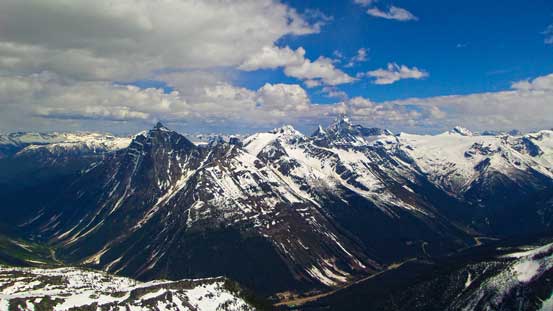
The Sir Donald Range
Descending snow. Soon we’d strap snowshoes on
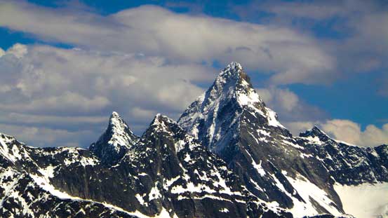
Another beautiful shot of Mt. Sir Donald
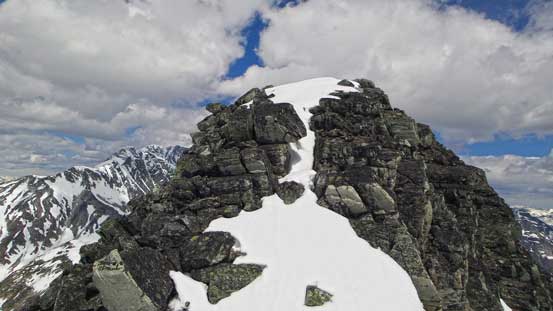
Looking back towards our objective
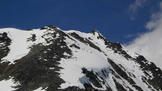
A closer look of the summit (far right)

Mt. MacDonald

Me descending into Teddy Bear Trees. Awful snow at this point

Down-climbing steep terrain into Grizzly Bowl
There’s more awkward terrain coming. What appeared to be nice and easy grass slope turned out to be dense bush… Thankfully we did manage to find a relatively bush-free line to eventually get down to the bowl, and then walked down snow for as much as we could, until it ran out. By this point if we kept following the drainage we’d deal with alders so we went skier’s right into Teddy Bear Trees. The worst bush was on the edge of these trees and once the trees got thicker the bush got much better. However, there was still some hard snow in the trees so we kept crampons on. Well, we could have taken the crampons off at this point but I guess we were just lazy, worrying we had to strap them on again at some point. The very steep terrain punished our knees and it was a great relief when we eventually cleared the slope and down to Connaught Creek again. The rest of the way back was tiring. There’s lots of side-hilling and elevation regain.
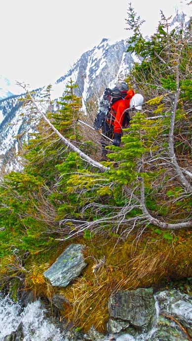
Bushwhacking…

Eventually we made down to Connaught Creek. Photo by Ben
Overall, this was a very satisfying introductory trip to Rogers Pass area, but we did cover some awkward terrain. We must also have switched between snowshoes, crampons and boots for no less than 15 times which was tedious and frustrating. Our round trip time was just under 14 hours and we must have gained more than 2000 meters height. I think early June is the latest you want to bag Grizzly Mountain. I can’t imagine bushwhacking entirely up in summer time. The best time to do these peaks is winter or early spring when the creeks are still snow covered and the alders are still buried. If you’re an expect skier, you’ll likely enjoy doing these peaks on skis as there’re a ton of epic runs around.
