Silver Star Mountain
June 19, 2017
2705m
North Cascades Highway, WA
There are quite a few peaks named “Silver Star Mountain” as far as my limited knowledge reaches and this story is about the gigantic massif immediately east of Washington Pass in the North Cascades. There are many factors making Silver Star Mountain a “glorious peak”. Apart from being one of the “100 Bulgers” this peak boasts one of the largest glaciers on the east side of WA Cascades’ divide (aka. the dry side of the range). There are quite a few jagged arms sticking north, south and east wrapping around the summit and the granite towers offer some classic rock climbing. To reach the summit of Silver Star Mountain is very much an easy fair compared to climbing those towers, with the standard route ascending the aesthetic north glacier followed by a 3rd/4th class scramble on the summit block.
Despite the above statement the climb still falls in the category of Alpine II mountaineering and adding a “long” approach this should not be treated lightly. I give a quotation mark because I personally do not consider the approach as long, but many others do especially if they are used to the short ones such as the nearby Liberty Bell or Early Winter Spires. There are two standard approaches – the longer, but gentler one via Silver Star Creek while the more direct option via Burgundy Col from the west. My inspiration came from a recent trip by McKenzie Johnson on “Washington Hikers & Climbers” Facebook group and my plan was simply retracing their footsteps a mere two days after. The weather seemed alright although not 100% stable but for this climb I figured “a mix of sun and clouds” was good enough.
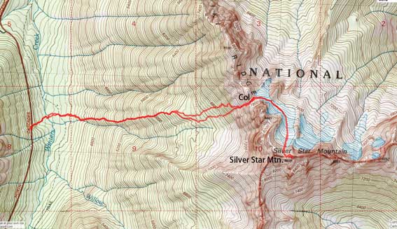
Silver Star Mountain via Burgundy Col. GPX DL
Thanks to the various sources that I skimmed through I was fully expecting a long day of trudging on various types of terrain and considering the long drive (4 hours each way) the decision of car-camping was easily made. I managed to leave home before 9 pm and arrived at the trail-head after midnight. The border crossing was fluent but the night drive down North Cascades Highway was mentally taxing as I saw at least three different animals on the side of the road. I was very tired by the time I parked so decided to sleep in till basically whenever I wanted. It turned out that in the brightness of the daylight it’s not easy to sleep anyway and by 7:10 am I managed to start the plod.
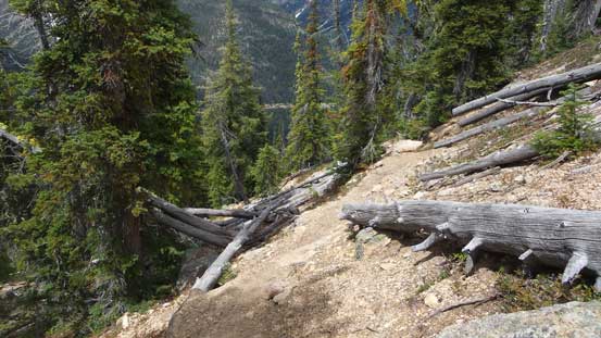
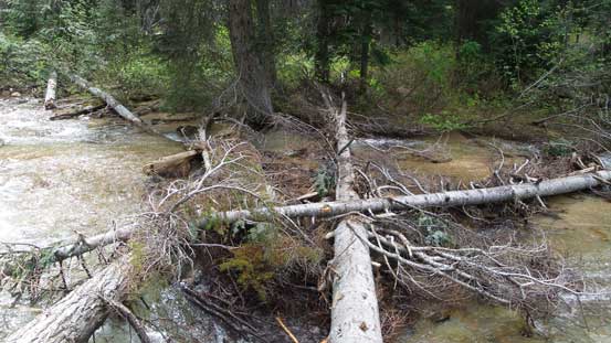
The initial business of this Burgundy Col approach was losing ~50 m elevation down to Early Winter Creek and the terrain was not the most pleasant neither. Thankfully there were abundant cairns marking the way down through the boulder field and then I arrived at the creek crossing. There were numerous logs to choose from and I picked a combination that allowed me to just walk across. A fatter log further upstream would offer a fun au-cheval but being there alone I had little interest in making things harder than necessary. After crossing the creek I did some brief bushwhacking before rejoining the trail. The path was to my left and I just had to trend that way and eventually would hit it. The next hour or so was a mind-numbing slog up the never-ending dirt trail with very much nothing worth noting.
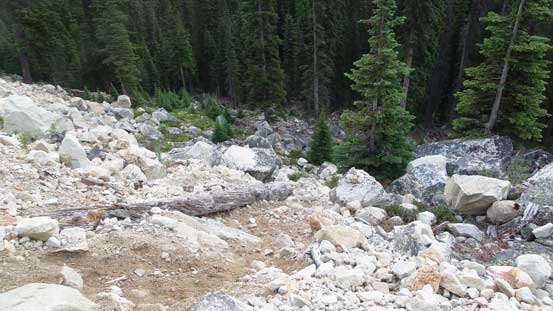
The initial descent into Early Winter Creek
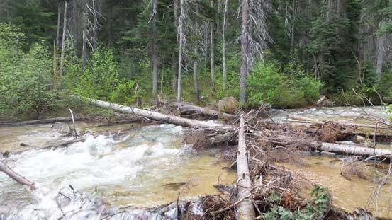
Walked across this set of logs

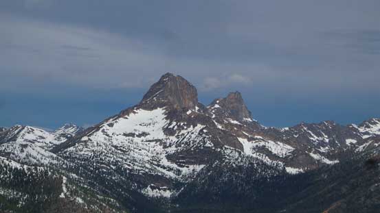
Liberty Bell and Early Winter Spires.
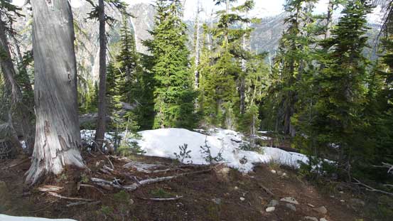
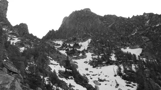
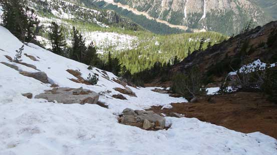
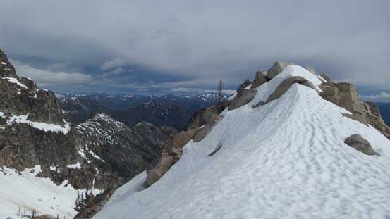
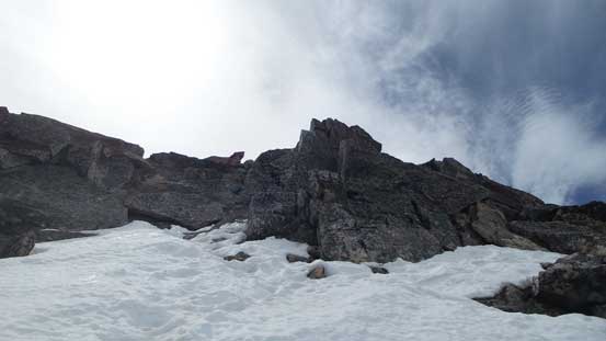
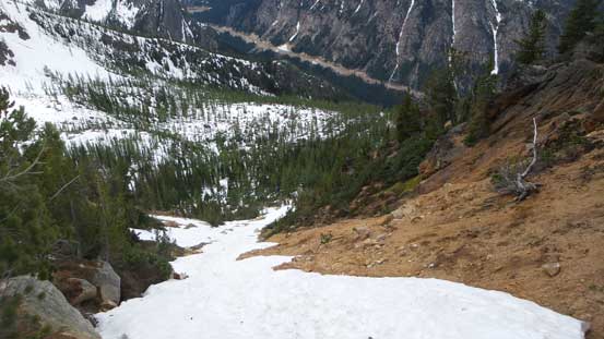
Hitting snow at the flatter bench near treeline
Cutthroat Peak just across the highway
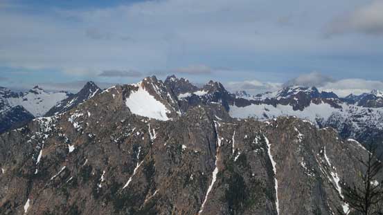
This is the striking Tower Mountain with Golden Horn behind
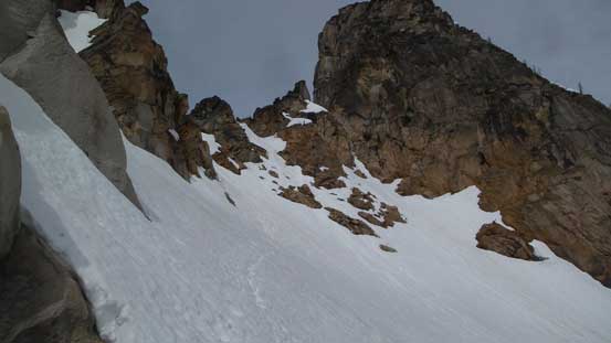
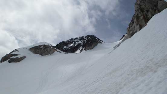
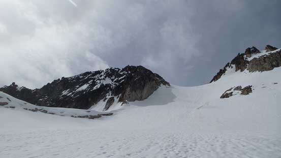
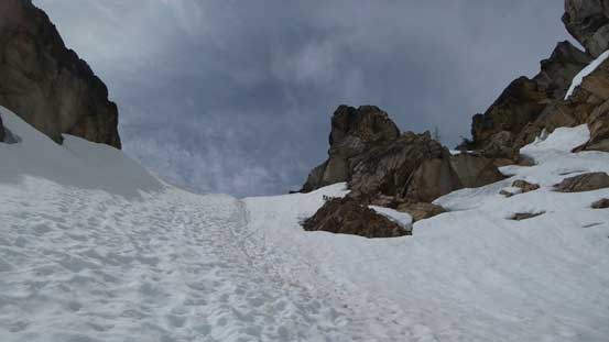
Upon arriving at the “bench” right below treeline I started encountering snow and soon enough the snow became continuous. The best route option for early season is to traverse far to the right and ascend the couloir coming down from Burgundy Col in a straight-up manner. I was aware of this but didn’t know where exactly to aim at and before realizing I was already too high on climber’s left side. I then started traversing over but the terrain was cliffy and bushy at places and costed me a bit of time route-finding. Eventually I did manage to cut over but not without difficulties as I had to ascend some concrete-hard moraine type of dirt which greatly reminded me the ol’ Rockies adventures. I hit the couloir at about 2/3 of the way up, filled up the water bottles and resumed the grunt up to Burgundy Col.
Finally merging into the couloir below Burgundy Col
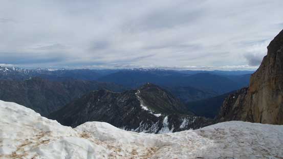
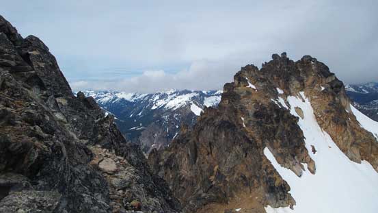
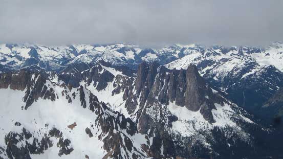
I think this is part of Kangaroo Ridge

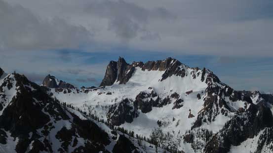
Another look towards the classic Liberty Bell group
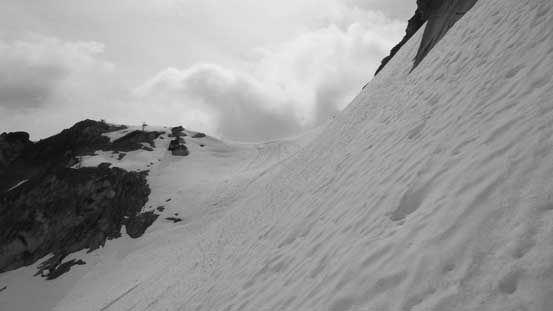
Ascending snow for as much as I could.
Almost at the col now, looking down towards Washington Pass area

The scree wasn’t the most pleasant…
Topping at Burgundy Col
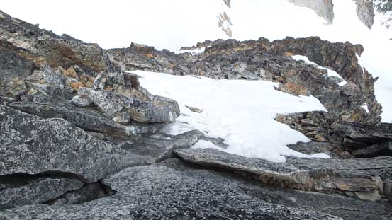
Checking out the steep down-climb
I took a long break here. Note the well-constructed bivy sites
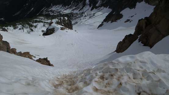
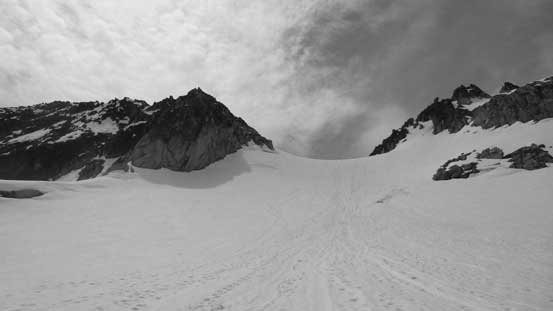
At the col I took the first lengthy break of the day, gear transition to ice axe and crampons and meanwhile ditched some gears that I wouldn’t need anymore. Immediately on the opposite side of Burgundy Col has the steepest snow on this route and even so it was more like 45 degrees but only for a short stretch. I down-climbed facing in but soon the terrain mellowed out and I started plunging. The “highway” of boot tracks then led me traversing a long ways due skier’s right (south-east) to hit the upper Silver Star Glacier. The plod up Silver Star Glacier was foreshortening but again, with the helps of the boot tracks it was easy going.

Partway down from Burgundy Col
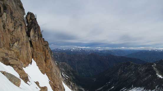
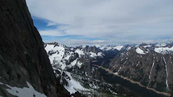
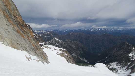
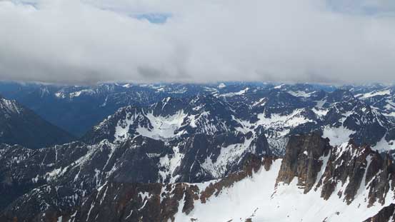
Some typical views in the eastern side of North Cascades
Looking back at the short down-climb from the col
A steep traverse to hit the upper Silver Star (North) Glacier
Arriving at the first saddle.
Still some traversing ahead to reach the main glacier
As much as the glacial plod goes
About 2/3 of the way up, looking back down.
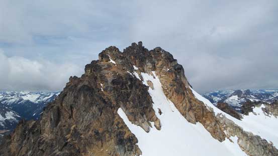
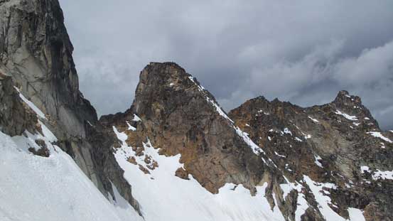
Before realizing I was already at the col between the west and east summits. The east peak is the true summit and is the only one I’m interested in. The route was mostly dry so I ditched the axe and crampons and proceeded upwards on foot. The lower slopes required some route-finding and the path with the least resistance was by a long ramp going far to the left. I wasn’t aware of this so went up close to the ridge crest which involved a few 3rd class sections. The two routes joined at the upper reach where a few 3rd class moves were unavoidable.
The typical scramble on the west/north-west slopes of the east summit
Partway up, looking back towards the lower west summit
Above a short 3rd class stretch, looking down.
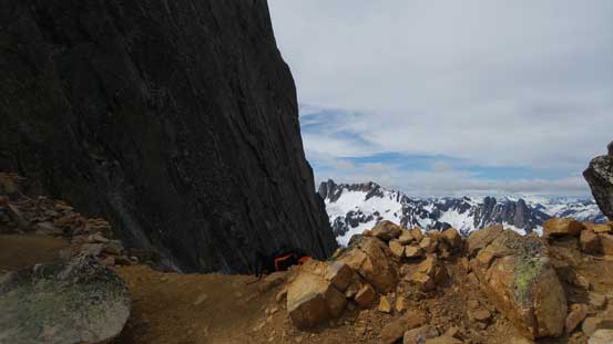
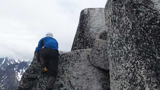
The hardest section was the final 30 feet or so. First of all I was facing at a tight chimney with slings nearby suggesting that parties had needed rope to assist. That was not the option for me as I did not even bring one nor did I bring rock shoes so squeezing in and pulling up using one tiny tip-toe hold and it worked. The next challenge was the true summit block which required one mantle move or a hand-traverse with no foot hold. I would rate the chimney and the true summit as “class 4”, for really just two moves, but otherwise it’s mostly just a class 2 or 3 scramble.
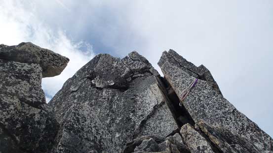
Passing slings near the summit. The route I took goes up this obvious chimney
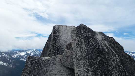
Looking at the true summit boulder (one or two 4th class moves to climb)
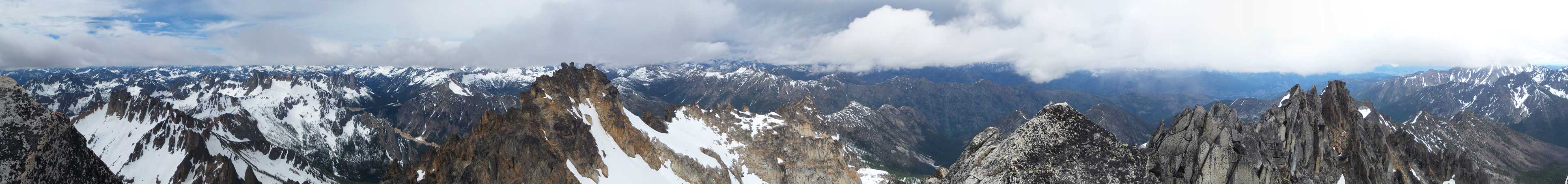
Summit Panorama from Silver Star Mountain. Click to view large size.
The true summit is a bit airy at places..
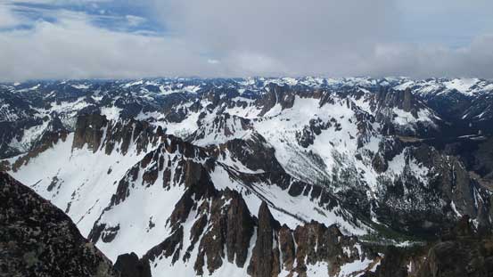
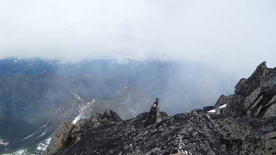
A view looking south shows many spires of rock and many snowfields
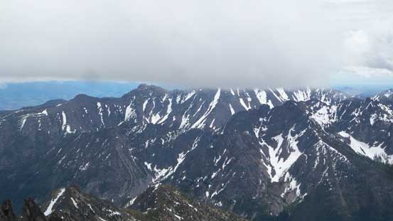
The south-eastern view showing lots of peaks that I had never seen before
Liberty Bell Mountain and Early Winter Spires are now much smaller
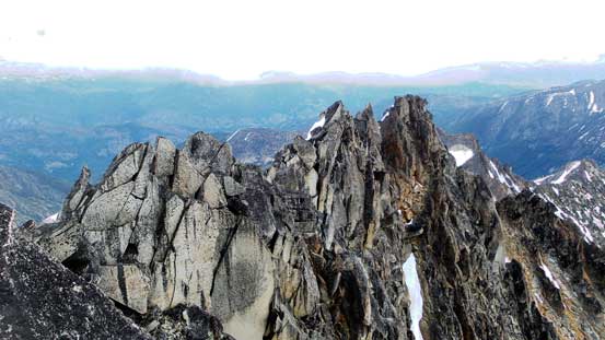
Other spires on Silver Star Mtn.
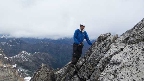
Me on the summit of Silver Star Mountain
A self-timed shot to show me climbing towards the true summit boulder.
Clouds rolling in obscuring the views
The Gardners were soaked in..
Thank to the cloudy weather and the breezy wind I had little mood to stay long on the summit. I had brought my cell phone only to find there’s no reception at all. Unable to link with the outside world I fired an inReach message and then down the mountain I went. Down-climbing the chimney felt easier than going up and then I managed to stay on the easiest path all the way down to the west/east col. Descending Silver Star Glacier I didn’t bother with crampons anymore and even went for a couple short glissades. The snow was too soft to not glissade.
Trying to find the path with the least resistance down from the summit
The west summit is looking big again. I had no interest to go up there though.
Partway down Silver Star Glacier
Traversing towards the Burgundy Col climb
Almost back at Burgundy Col
The initial 100 m or so down from Burgundy Col was not very pleasant. I tried to stay on snow for as much as possible but the snow passages weren’t continuous and then I also punched through a couple waist-deep post-holes. Further down the couloir became fat and I enjoyed a very fast plunge all the way down to the “bench”. Having my GPS handy meant I knew where exactly to aim to get back on the trail and I have to say this horizontal traverse was longer than I thought. It’s no wonder why I missed it in the morning. The rest of the trailed descent was a pure slog and the final stretch climbing out of Early Winter Creek was especially not appealing.

The descent from Burgundy Col wasn’t fun
Lower down I merged onto snow which then became fun…
As much as the trail goes.
Back to the log jam crossing of Early Winter Creek
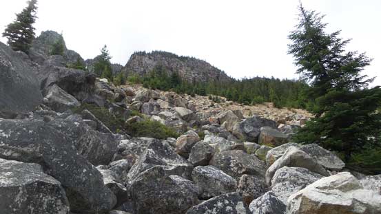
Uphill grunt up the boulder field back to car
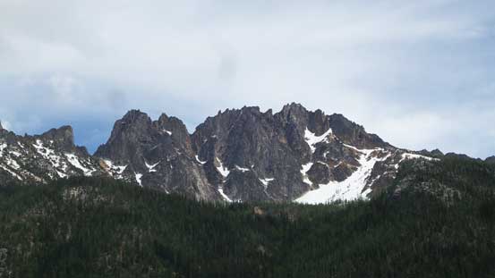
Silver Star Mountain from the parking lot. Done.
Back to the parking lot my round trip time was under 7 hours which was pretty fast especially considering I actually took quite a few long breaks. I could have easily shaved an extra half an hour too had I pushed a little bit harder but “pushing hard” was nowhere the purpose of this trip anyway. I was disappointed that the weather forecasters screwed up their job and for once again, a “mostly sunny” turned out to be 95% overcast with clouds obscuring the taller peaks. I’m just glad that the summit of Silver Star Mountain itself wasn’t soaked in so I did get some good views. Overall I’d agree with the classic status of this objective thank to the short approach and the quality climb up high.
