Kananaskis Peak
September 8, 2012
2419m
Kananaskis – Highway 40, AB
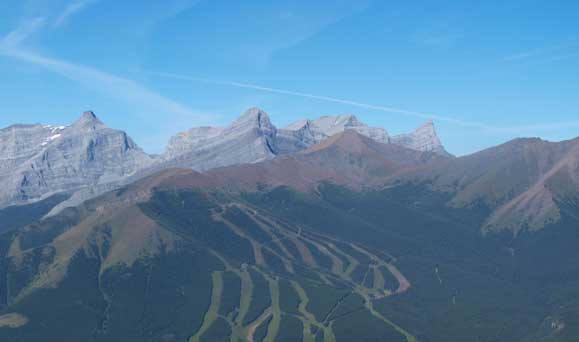
The unofficially named Kananaskis Peak is the most difficult objective in the “Big Traverse” described in Andrew Nugara’s More Scrambles in the Canadian Rockies book. Folks do it as the single objective of a day usually go up one of the few routes on the west slopes including one that goes up and over GR338442. A scree route on its SW slope is also doable in winter. For more competent scramblers wishing to tick down a few peaks together, the north ridge (that links Wasootch Peak) offers a more exciting route. Neil, Tyler and myself managed to put it down as the 2nd objective of our 6-peak traverse.

The Big Traverse scramble route link-up
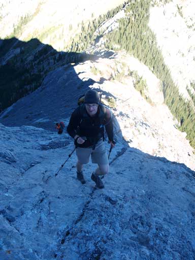
The descent from Wasootch Peak to Wasootch/Kananaskis col involved more elevation loss than anticipated and we dipped below treeline actually. We had to do some brief bushwhacking at the col. Don’t worry, there’ll be more bushwhacking at the end of the day… The ridge to Kananaskis Peak went easy until we were facing at the slab wall. I guess the easiest line is to traverse climber’s right for a bit and aim for the least slabby area. We decided to stay on ridge which proved to be also good. The slab was very grippy and offered better footing than the tedious rubble. The ridge became very exposed at places and we had to be very careful. I don’t know if you can avoid these parts because we didn’t even bother to search for an easier line.

Typical slabby terrain up Kananaskis Peak
Neil enjoying the slab walk
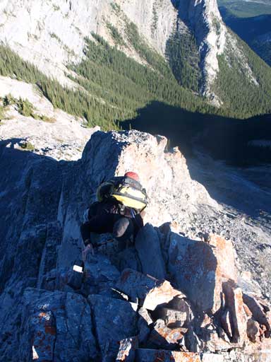
Exposure
More exposure
Typical typical
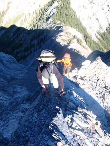
Now we were facing at a vertical 5 m step. Neil led up this step and it proved to be very technical. It involves finger holds, arm strength, and friction. I think you can bypass this step on climber’s right but that’s down-sloping. The ridge section immediately after this step has very questionable rock. We had to double-check each step before moving. As you can see from these photos, if you are a fun of rubble slog, you might can bypass all of the hands-on by following the tedious slope on the right side, but I’m not sure. After this bit of excitement the difficult section wasn’t over yet. We still had to do some slab scrambling and exposed ridge walk to get to the summit.
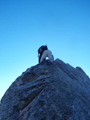
Neil almost finishing the optional crux step

Tyler following up
Looking back at Wasootch Peak
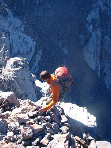
Tyler negotiating a trickier section.
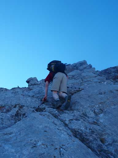
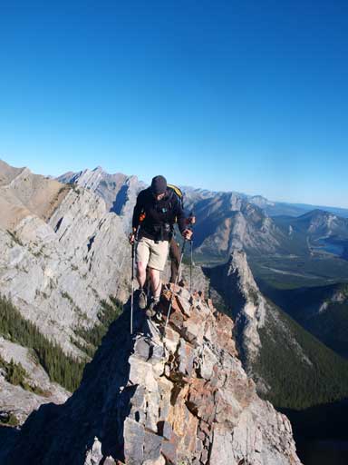
More slab scrambling
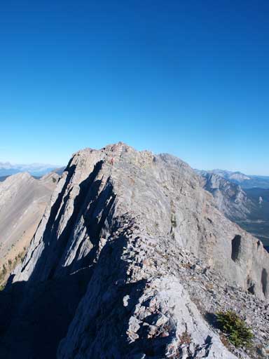
Looking back at the false summit. There’s some exposed ridge-walk
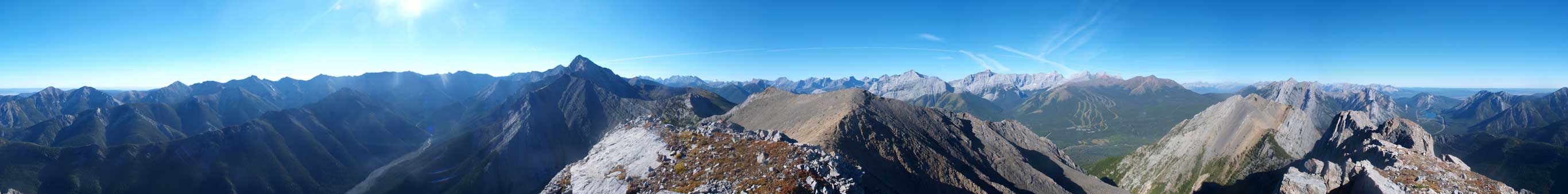
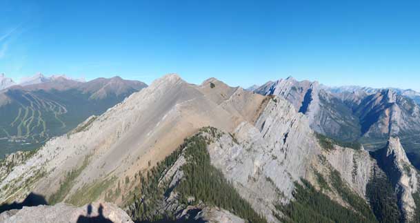
Summit Panorama. Click to view large size
Mount Kidd
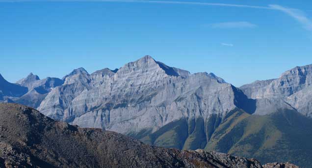
Mount Bogart and Mount Sparrowhawk
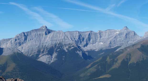
Mount Lougheed

Mount Baldy

Neil and Tyler approaching the summit
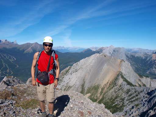
Me on the summit
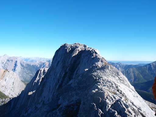
The summit of Kananaskis Peak. This is taken from just a few minutes after leaving the top.
We went to the west sub-summit and now we were looking down at GR338442, our next objective.
