Sugarloaf Mountain (Pemberton, BC)
June 21, 2021
2462m
Pemberton, BC
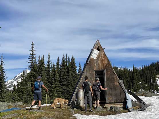
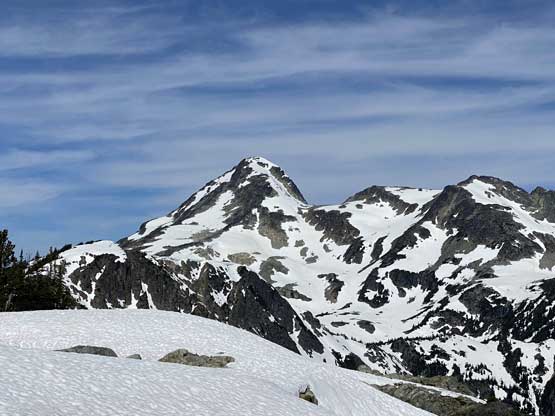
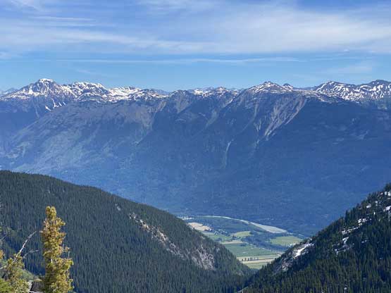
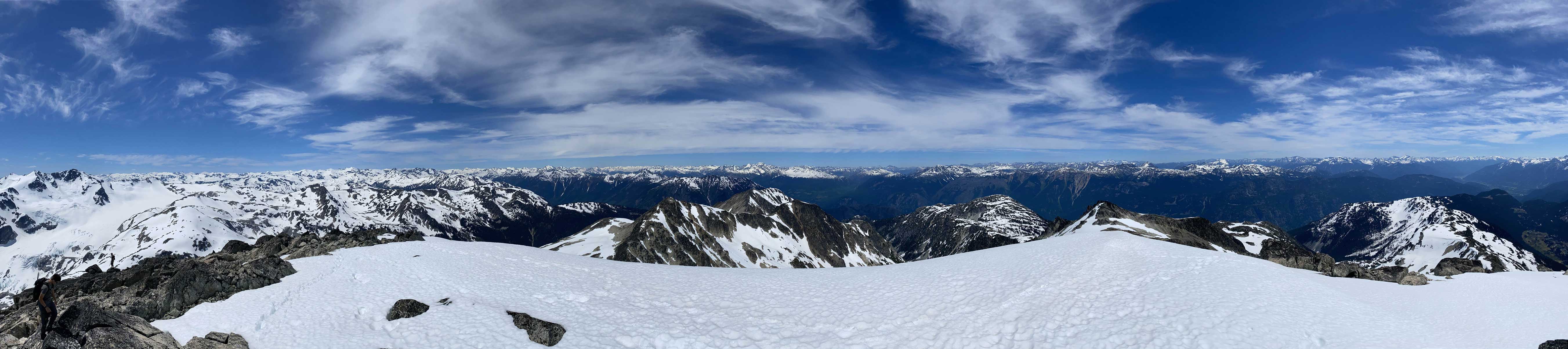
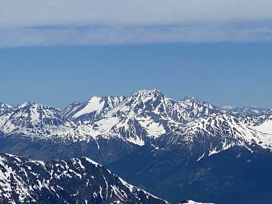
Sugarloaf Mountain is one of the taller summits that overlook Pemberton Valley and the summit is also very visible from the town of Pemberton. The long, broad and undulating SE Ridge offers an easy passage to the summit in all seasons. In winter and spring this is a popular sled-skiiing zone as indicated by the numerous huts built by snowmobilers. In summer time one can drive easily to 1400 m on Miller Bench Road with a 4WD vehicle and from there, the alpine can be easily accessed with minimal suffering. I had this objective in mind for years but my original plan was to do Sugarloaf Mtn. together with Mt. Ross as an overnight trip camping not too far below the summit on the SE Ridge but nobody was interested in Mt. Ross. I was more than ready to pull it off solo in my planned style but in the end I reluctantly agreed to just do Sugarloaf Mtn. as a day-trip and come back for Mt. Ross later, likely in a different year.
Immediately after coming back from the Skihist Group slam I was not keen on a big day but Matt J. needed an objective that boasts 600 m prominence. There weren’t that many easy “P600m” objectives left for both of us but Sugarloaf Mtn. was an exception. As said earlier I was not keen because this meant I had to repeat the approach for Mt. Ross while Matt was also not keen because he was thinking to hike this in mid-summer with his family, so we wanted to make it a bit more special… Matt then threw out an open invite on “SWBC Peak Baggers” Facebook group and managed to gather a team-of-six within a couple hours. This seemed like the fun way to do it making some new friends. We agreed to meet at Matt’s house in North Vancouver at 5 am, a reasonably early start to beat the heat. The temperature in Pemberton was supposed to shoot into 33 degrees in the PM.
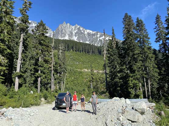
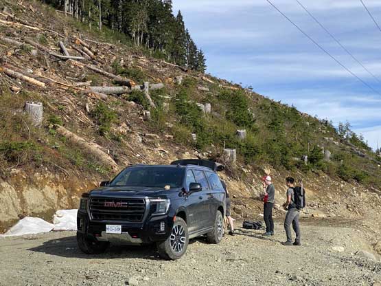
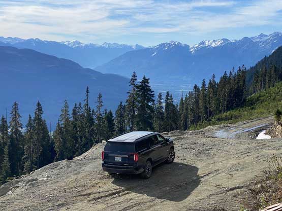
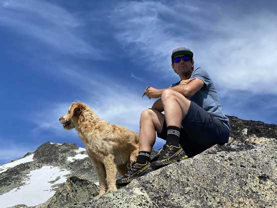
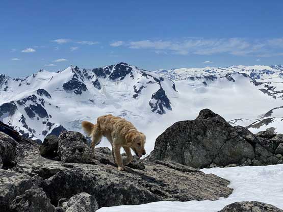
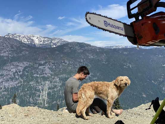
The next morning a total of 5 of us and a dog had gathered at Matt’s place – Brayden, Mark, Nolan, myself, Matt and Twig and an hour later we picked up Senay from Squamish. Another hour later we were in Pemberton driving up the Miller Bench Road. This road was steep but not very rough. The water bars did not impose any issue to Matt’s stock GMC Yukon that we were able to park at 1400 m with ease. We could have driven a little bit farther but I had a short-cut route in mind to save off some distance and to do that, we would have to park here.

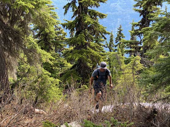
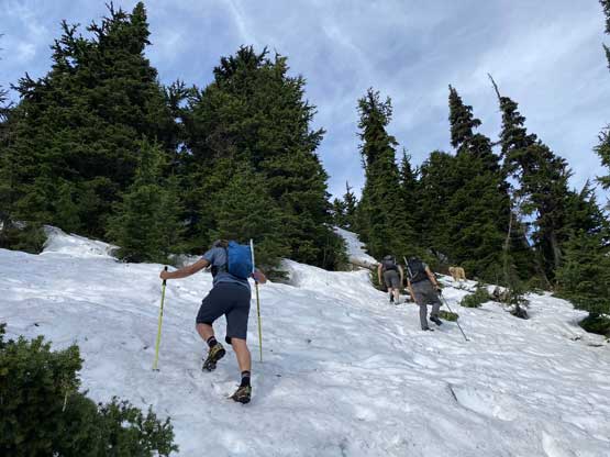
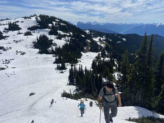
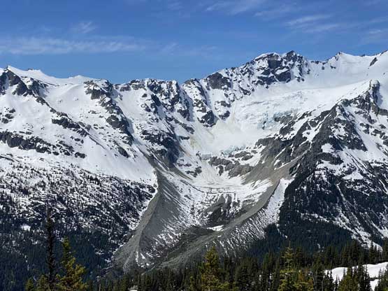
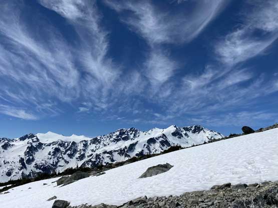
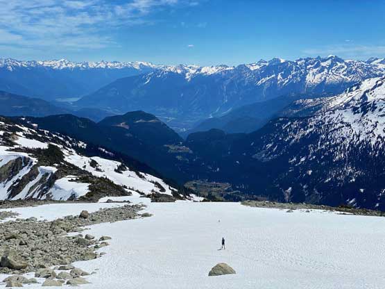
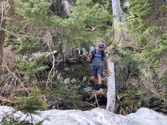
Normally the standard route goes to the far end of the SE Ridge but we decided to short-cut this long detour by bushwhacking straight up from where we parked. The cut-block wasn’t too bad to ascend and once in the forest we immediately found intermittent snow. Unfortunately the snowpack was no longer continuous at this time of a year so we did have to do some vege-belay bushwhacking here and there as well as scrambling up through some bluffs. There was a total of 300 vertical meters of this typical BC off-trail grunt before topping out on the ridge. Once on the ridge we pleasantly discovered a trail but the trail soon ended in continuous snow. On the ascent we opted to plod up and over all bumps on the ridge for simplicity.


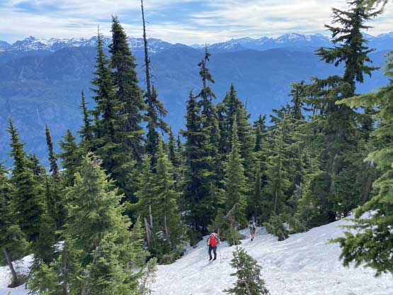


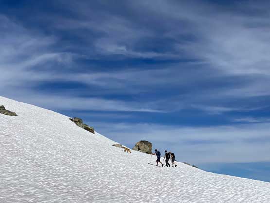
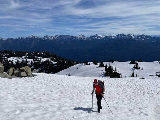
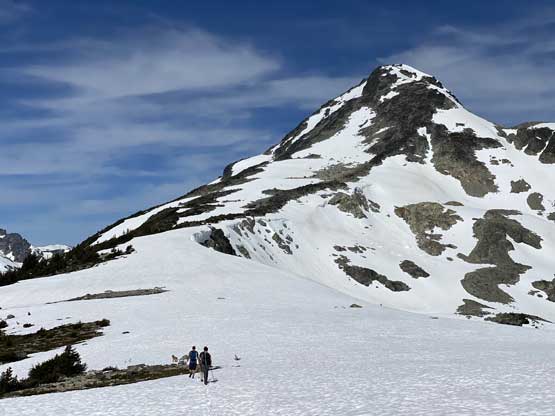
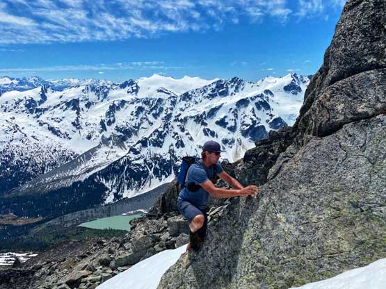
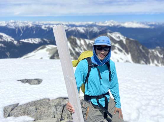
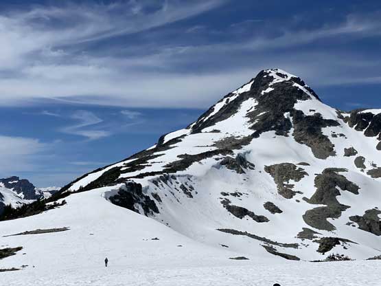
One bump required a substantial (>50 m) elevation loss that we descended quickly by glissading. Then we stuck reasonably close to the ridge crest on the edge between rocks/bushes and massive cornices for a few more horizontal kilometers to the base of the summit block. The summit block appeared daunting from afar but was actually not. Matt and I picked a route on the far climber’s right side scrambling up blocks of boulders. The route did seem to drag on for a long time. Eventually the slope angle petered out and we were back onto some snow fields and the next thing we had arrived at the summit. The true summit required a few 3rd class moves.

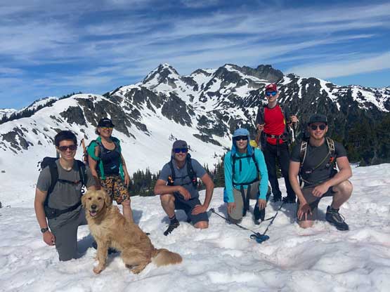

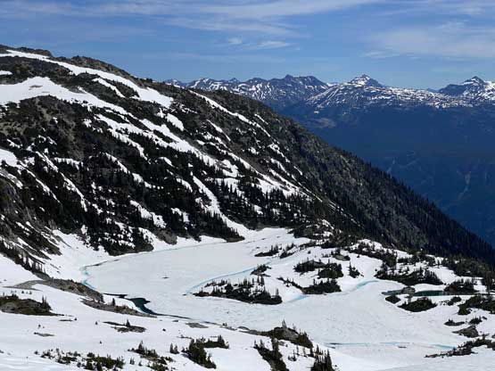


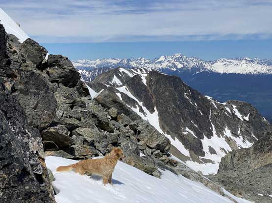


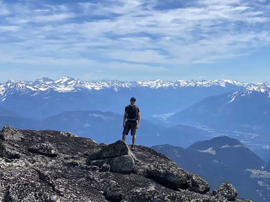


We lingered for at least an hour on the top soaking in the views but the heat’s taking a toll on us and we were all running low on water, so it’s time to descend. We linked up patches of snowfields and glissaded for as much as possible to save our knees. We opted to bypass that substantial bump by side-hilling on the south side. We might have saved some elevation regain but I doubt if we actually saved any time as the terrain was a bit unpleasant (not recommended). Lower down we decided to stick close to our ascent track and to embrace the bushes and the bluffs, which was surely unpleasant in some ways but wasn’t too bad.


Our round trip time was exactly 7 hours on a reasonably leisure pace. Matt had a plan to check out the Salal Creek access so that’s where we were heading towards next. The drive up the Pemberton Valley was faster than expected and the road to the end of Salak Creek FSR was also a smooth show. We also had plans to visit Keyhole Hot Springs but the time’s ticking and we were all getting hungry, so opted not. The next stop was Whistler for some burgers. The truck got a flat tire but we were still able to drive into Whistler. Of course after the dinner Matt did have to spend some extra time to change the tire before resuming the long drive back home. I eventually got back to White Rock at 11 pm. A long ass day for a not-so-long hike but a fun one with a fun crew.