Decalibron – Democrat, Cameron, Lincoln, Bross
September 6, 2026
4356m
Breckenridge, CO
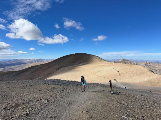
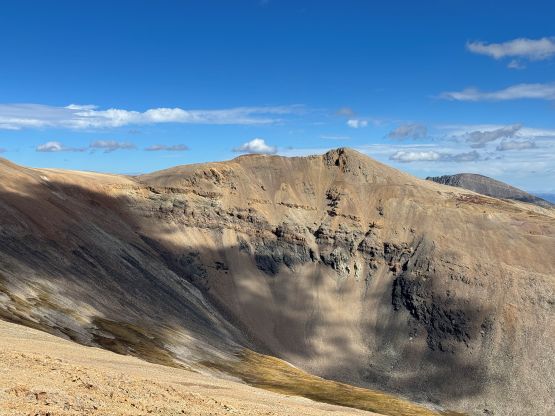
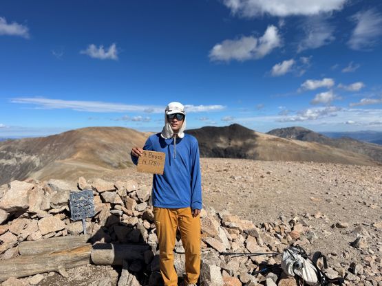
“Decalibron” is a popular traverse across 4 14ers in the Mosquito Range and Mt. Lincoln is the highest in this range. Mt. Lincoln also boasts over 1000 m prominence because of that. These are arguably some of the easiest 14ers since the access is as good as one can expect and there’s no technical difficulty whatsoever. The true summit of Mt. Bross is technically closed as it’s in private property but most peakbaggers simply do not give a fuck about it. The legal way of doing the traverse is described on the 14ers.com website and I’m not going to copy it here. I trespassed up to the true summit and so did everyone else I had seen. This happened to be in the middle of the September long weekend and I anticipated hordes of hikers, but I didn’t expect seeing 200+ people up there. That was shockingly busy.
Perhaps the reason why “Decalibron” is so popular is the lack of 4×4, HC requirement. One could easily drive an AWD “crossover” to the trail-head at Kite Lake above 3650 m elevation. The decision was made for Clair to skip this outing as she needed to catch up with her homework, whereas I would drive out solo and hopefully come back by lunch time. I anticipated about 4 hours of round trip and I was mostly correct. The outing was a tiny bit longer than I thought. I decided to get up at 5:30 am and left the hotel half an hour later. The drive to the trail-head took a little more than an hour and by the time I got there I already had to park several hundred meters on the side of the road below the actual parking lot. I also paid 10 dollars of entrance/parking fee since for some reasons I actually had some USD cash with me. The cost was only 8 dollars though, so keep that in mind for future reference.
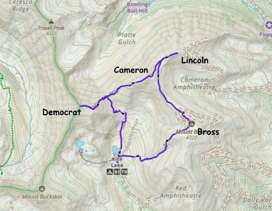
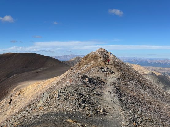
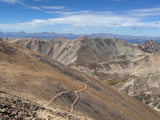
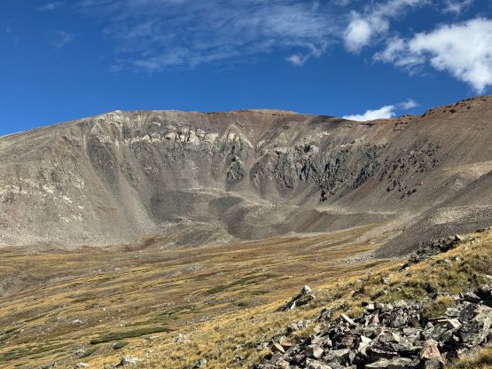
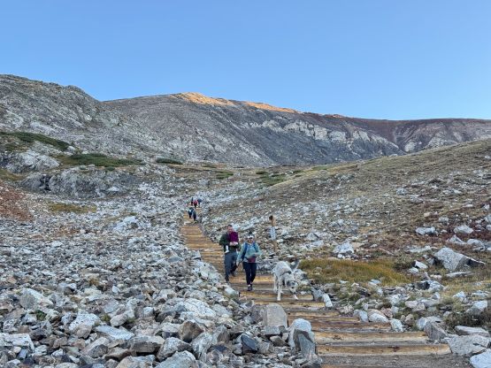
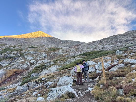
A number of hikers were doing the traverse in the reverse order since not everyone “enjoys” descending the loose terrain on Mt. Bross, but I would stick to the preferred clockwise order by ascending Mt. Democrat first. Only by this way I could call it “Decalibron” and not “Brolicade”… The trail was well engineered and in fact, the amount of people in this area reminded me in the European Alps. I nevertheless charged up the trail and passed at least 100 people even though I wasn’t even going that fast. I took one break along the way donning sun protection. Mt. Democrat is relatively detached from the rest of the group so this one required an additional 250 m elevation gain (and loss/regain). I heard a few others talking about skipping it in order to prioritize closing in the loop.
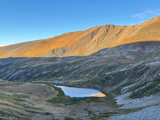
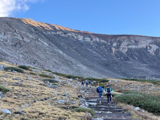
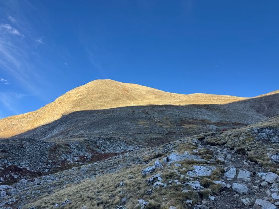
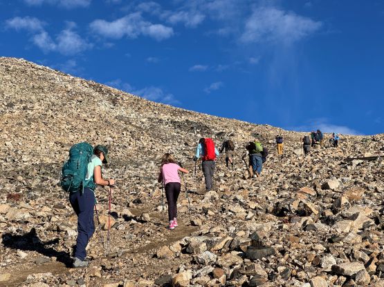
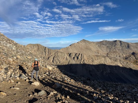
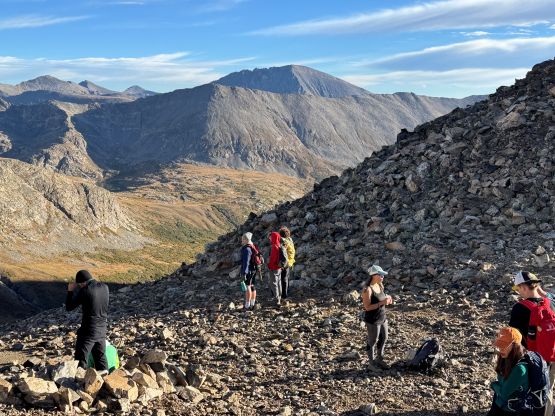
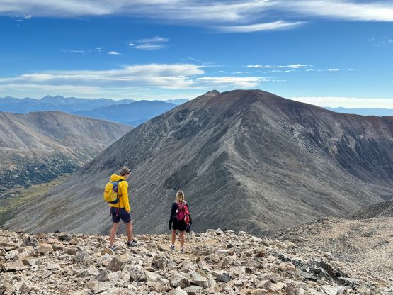
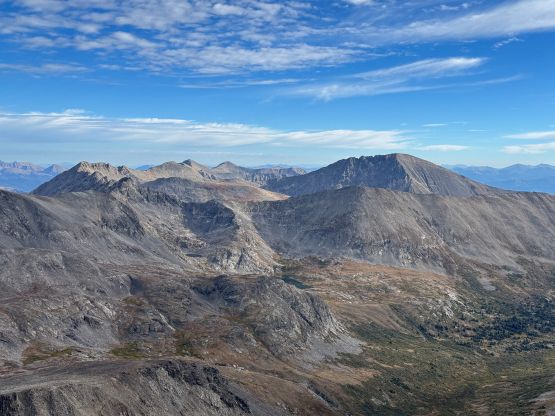
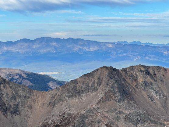
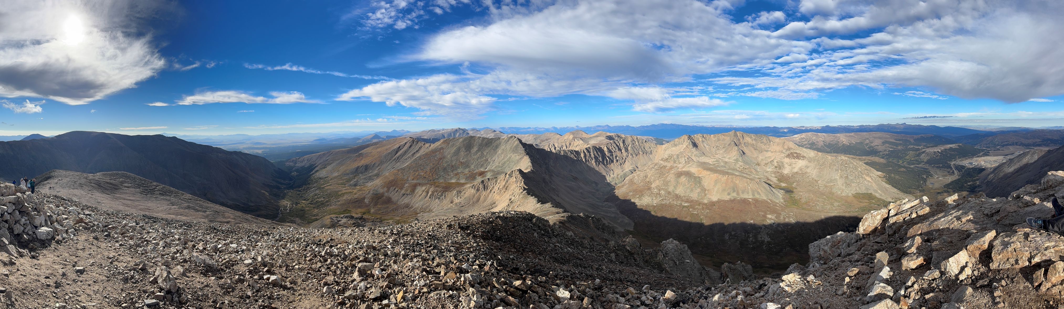
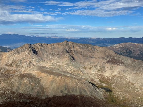
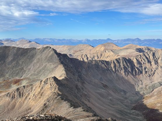
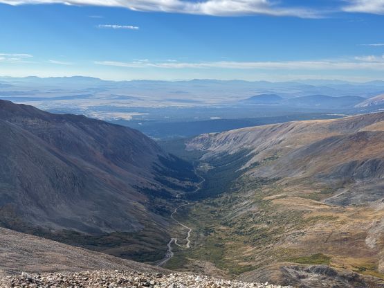
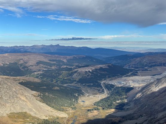
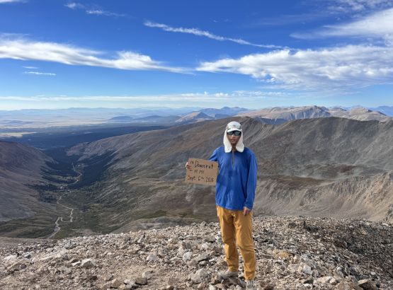
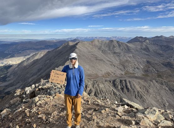
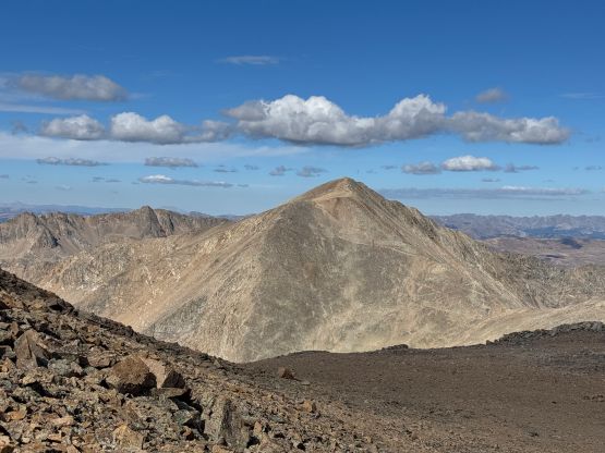
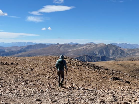
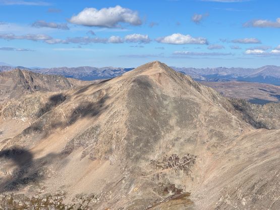
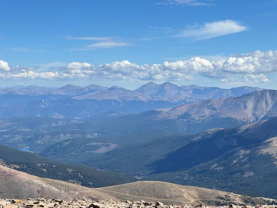
Descending Mt. Democrat was fast and furious and I passed more hikers in this stage. Most were moving gingerly on the boulders and honestly this wasn’t even a “boulder hopping” outing. I was mostly able to stay on the path but wherever I needed to overtake people I would use the boulders on the sides. Not doing any lingering I quickly dashed up Mt. Cameron and this stage of the traverse was very boring. The amount of elevation gain was more than I thought and so was the plodding distance. At least descending towards Cameron/Lincoln saddle I only needed to lose minor elevation. Mt. Cameron doesn’t even boast 100 m prominence but the 14ers.com still recognizes it as an independent peak. Going up Mt. Lincoln was short and sweet but at this point the views were starting to feel repetitive so I didn’t bother to linger much up there. To the east I could see a bunch of mining roads and I assumed those were closed.
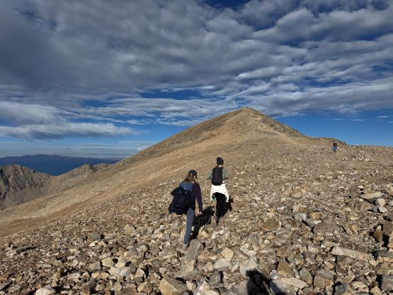
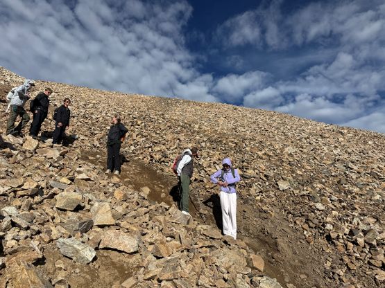
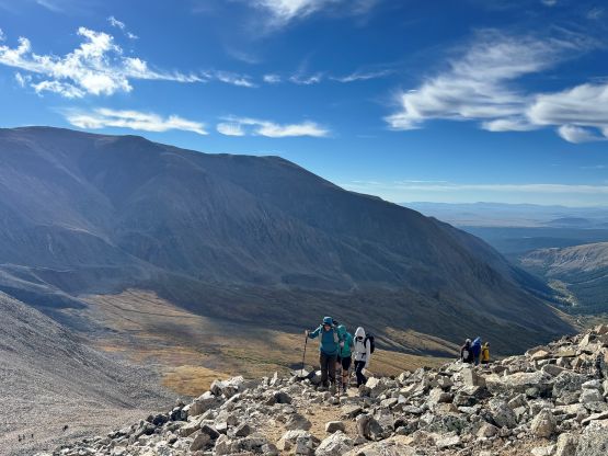
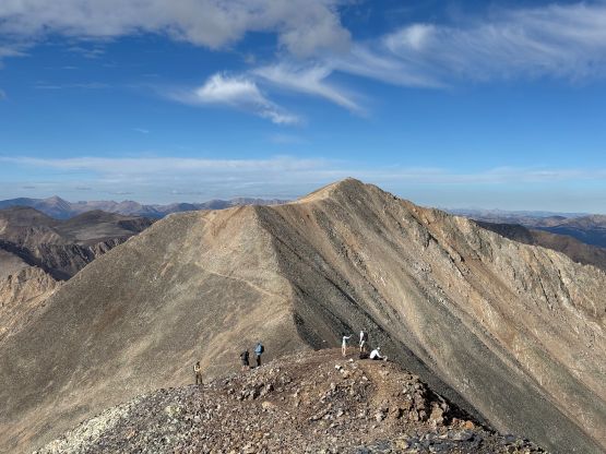
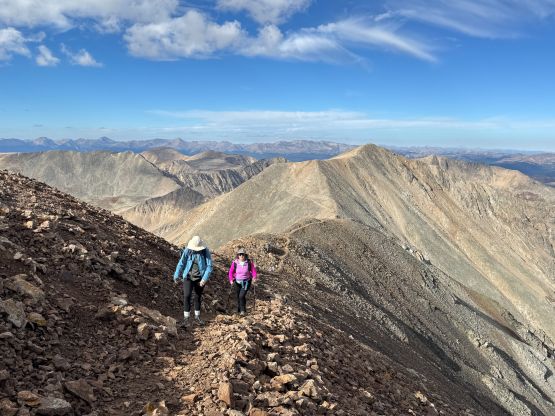
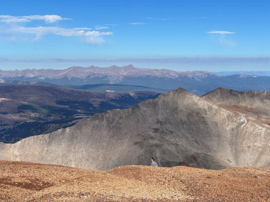
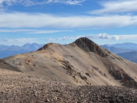
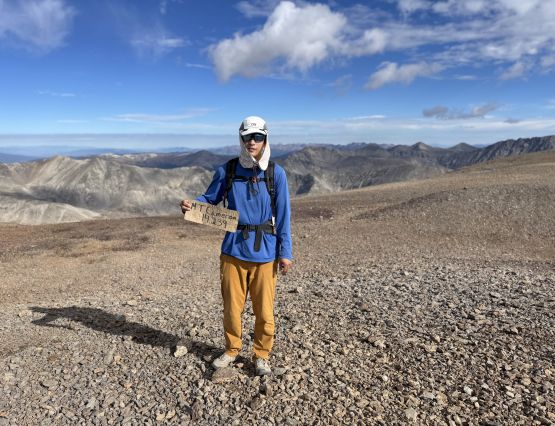
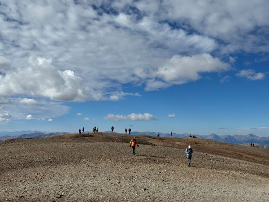
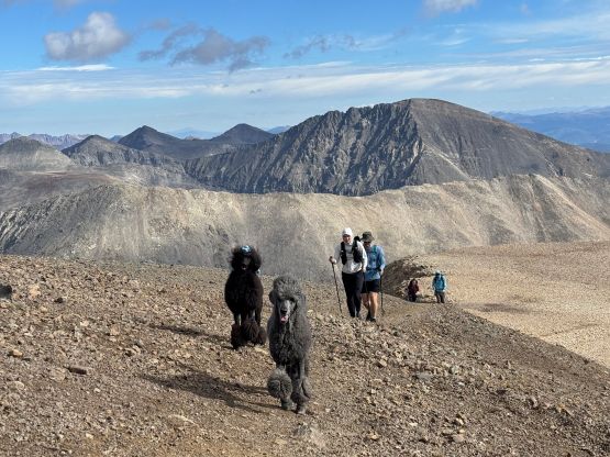
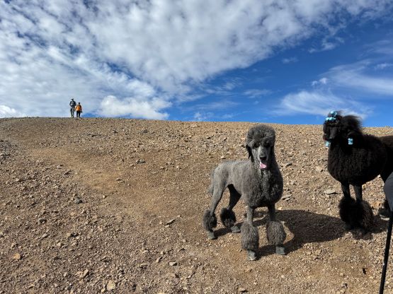
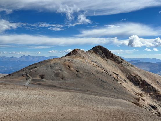
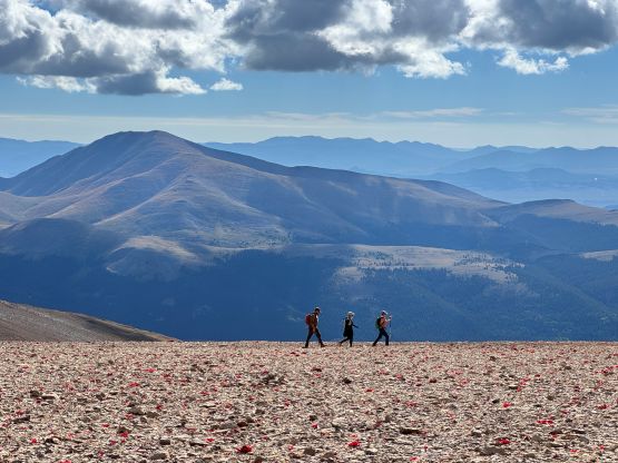
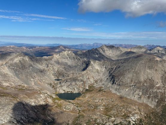
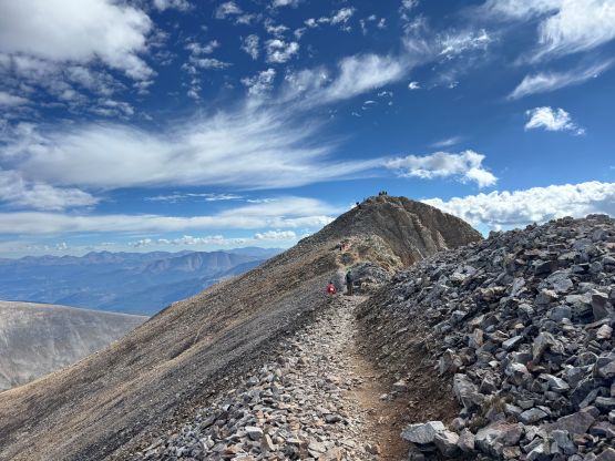
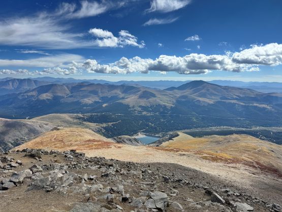
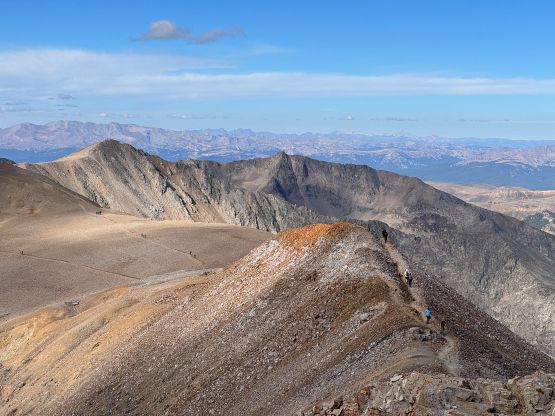
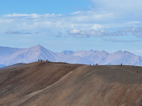
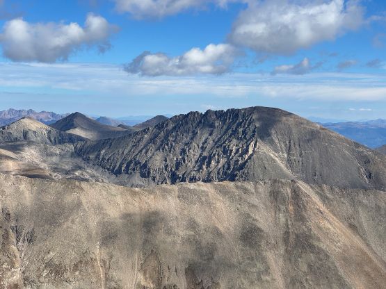
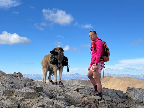
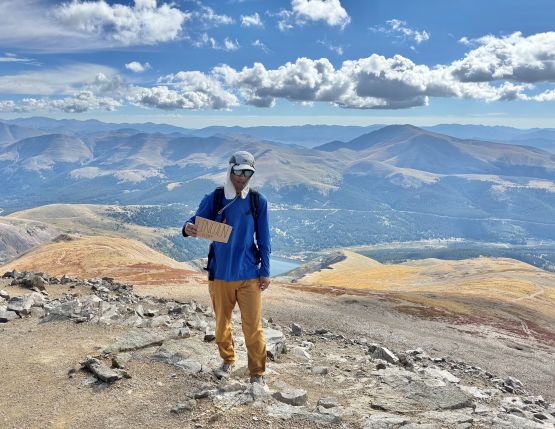
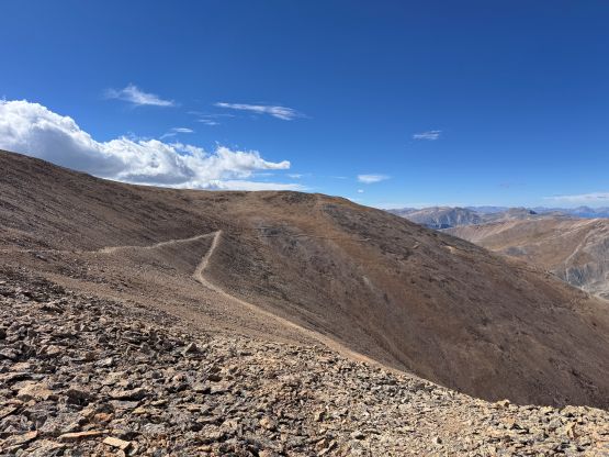
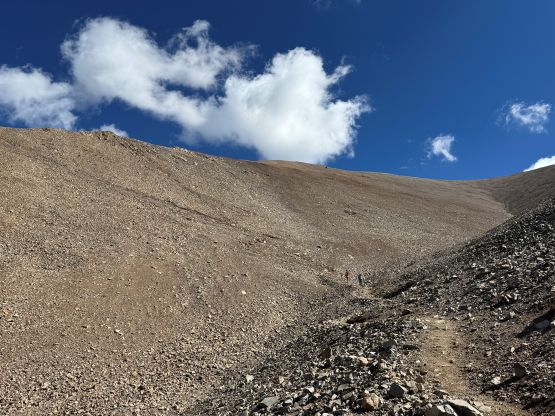
I quickly made my way down to Lincoln/Cameron saddle and picked up the traversing path descending gradually towards Bross/Cameron saddle, and by this stage I had passed most hikers doing the clockwise loop except for the earliest and the fastest. Mt. Bross appeared gross and it kinda was gross. There’s nothing special about it besides having to trespass to tag the true summit. I honestly didn’t know about where exactly the private property starts because I simply don’t care, but I did do some research AFTER finishing the trip and back at home. Apparently most of the trail was actually open. I thought the entire peak was closed and I was quite surprised by the amount of people actually carrying on to finish the loop. Anyway the descent from Mt. Bross did not pose much problem to me and I passed a few more groups of hikers struggling with the scree. I finished the round trip in 4 hours 10 minutes and then drove straight back to the hotel in a single dash. Clair and I then went out for lunch but mostly chilled for the rest of the day. We did drive down to Breckenridge for some tourism stuffs.