Deeks Peak
January 4, 2017
1672m
North Shore Mountains, BC
Despite the elevation being slightly lower than the nearby Mt. Windsor, Deeks Peak does offer one of the finest panoramas of the Howe Sound on a clear day. The various bumps of this peak form a west-to-east ridge-like structure with the true summit on the far east end. This peak boasts three different routes as far as I know. The most popular one goes up from Deeks/Windsor col but involves one steep pitch; the Kallahne Creek valley approach via Lost Creek Cabin travels through some unique terrain on the north side, while the “Old Bypass trail” that goes more-or-less up the broad forested west flanks is the least popular among the three.
For someone who doesn’t visit the same mountain twice the better way to experience Deeks Peak is by traversing it using two of the three routes listed above. To further complicate things Al and I decided to add Mt. Windsor to the loop and do the whole thing in some full-on winter conditions. It looks big on paper but is actually quite a reasonable day-trip. We had approached via Deeks Lake trail in dark and then tagged Mt. Windsor earlier in the morning, and now back to Deeks/Windsor col it’s time to focus on our next objective.

Mt. Windsor and Deeks Peak loop traverse route. GPX DL
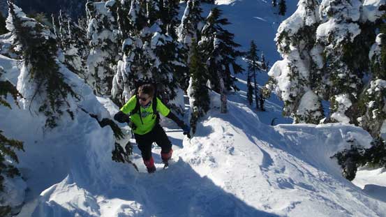
The set of snowshoe tracks were clearly defined and led us up the broad wooded east shoulder without too much of a problem, but just when the terrain ahead became steep we lost their tracks. We spent quite some time looking for it but eventually gave up and decided to do our own route-finding up the bluffy part. There appeared to have a break directly above us so we aimed there, and after traversing a steeper slope diagonally left we found their tracks again. To be honest this part wasn’t as bad as I thought and the terrain tapered off shortly after that.
Going up the lower E. Ridge from Deeks/Windsor col
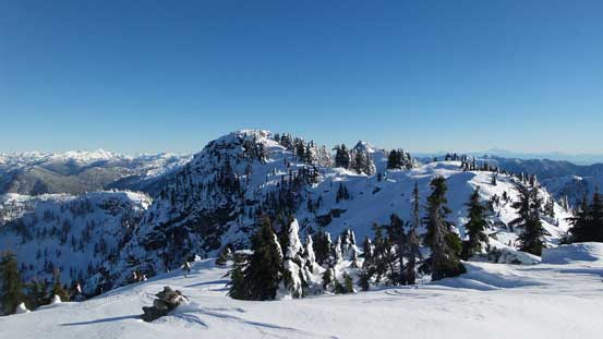
The route ahead.

Lots of places to take those picture breaks.
The typical country up there.

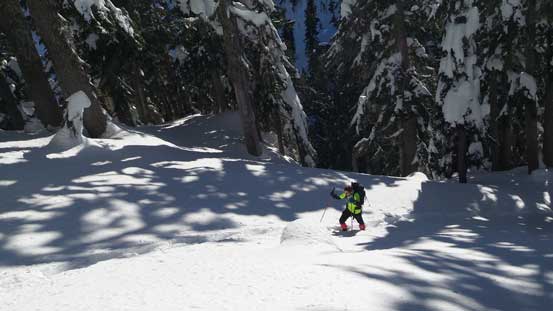
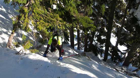
Me attacking the steepest pitch diagonally to the left. Photo by Alan Blair
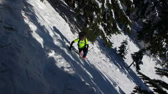
Al going up the same section.
After that traverse it’s still quite steep, but only for a short distance.
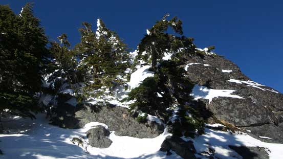
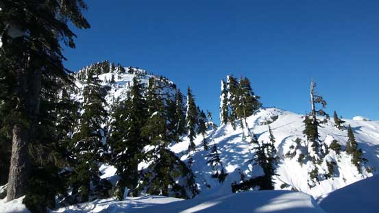
Route-finding up the typical North Shore bluffy country…
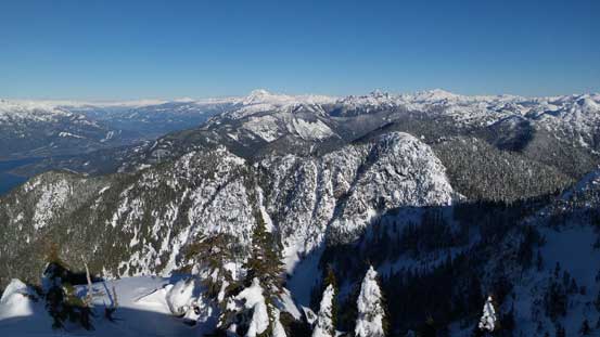
Through more steep forest we arrived at the summit plateau. The true summit still required one minor detour to the left followed by ascending a steep, but short funnel feature. The views were awesome just as predicted and also thank to the calm conditions we spent some good time lingering around.
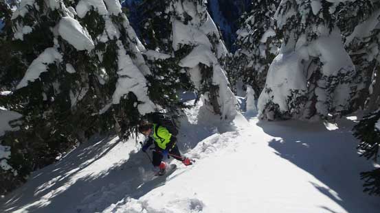
Still had some steep forest to grunt up through.
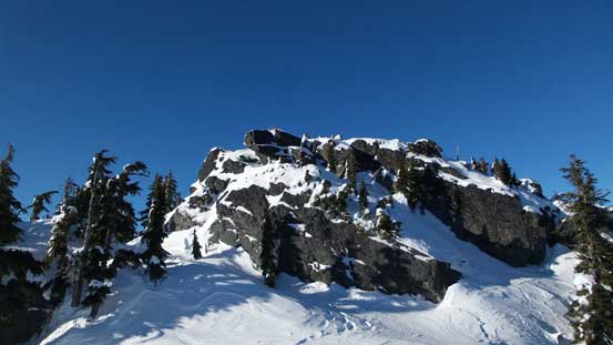
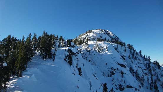
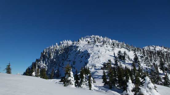
The summit is finally ahead.

Coming up towards a bench with magnificent views behind.
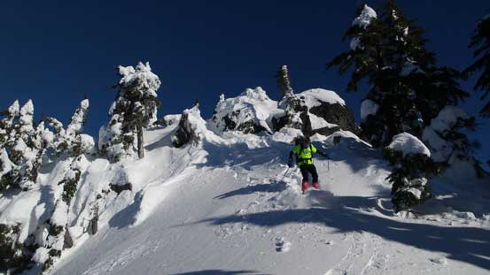
Al stemming up the final push – a mini couloir feature.
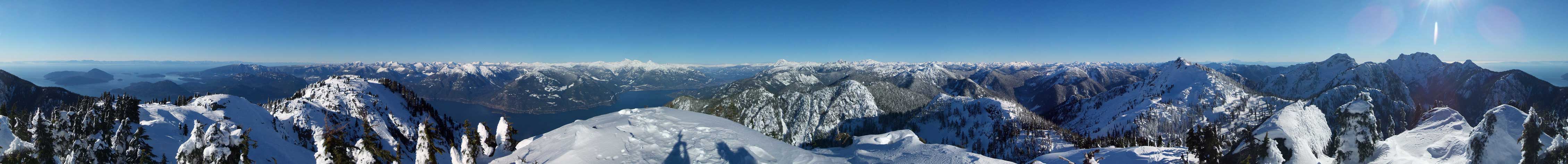
Summit Panorama from Deeks Peak. Click to view large size.
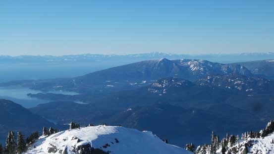
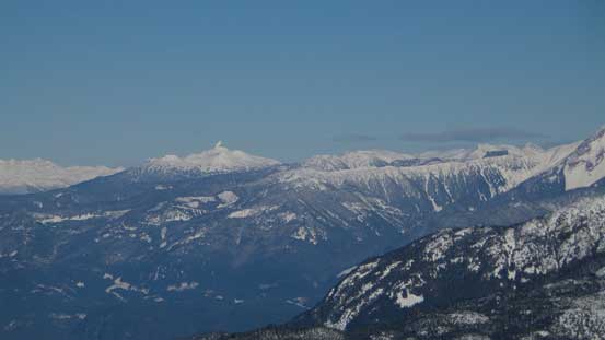
Looking over Mt. Elphinstone towards distant peaks by Vancouver Island
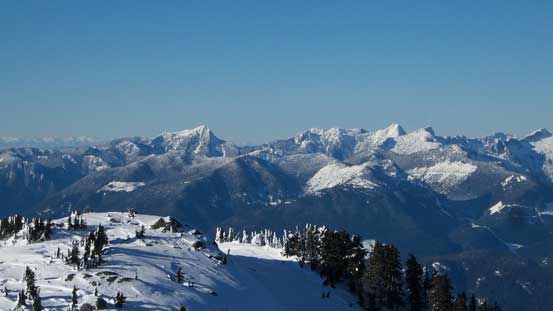
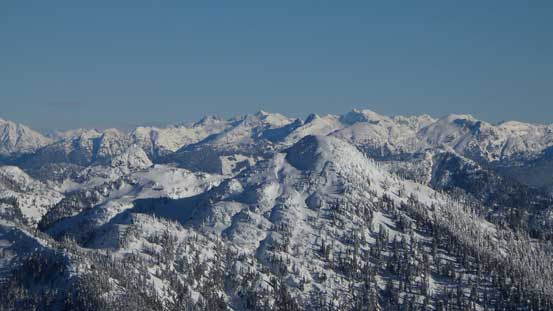
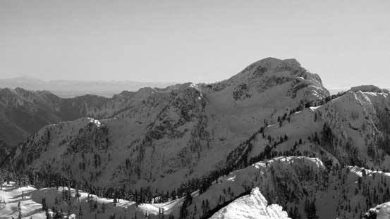
Those peaks in Tetrahedron Provincial Park – Panther, Steele, Tetrahedron and Rainy
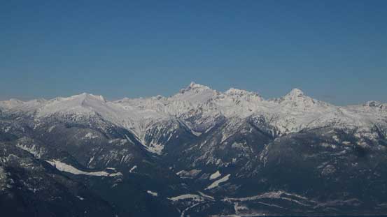
Panorama of Tantalus Range from Mt. Sedgwick to Alpha Mountain. Mt. Tantalus is the highest.
The Black Tusk is easily recognizable from any direction. On the right is Brohm Ridge
Atwell Peak/Mt. Garibaldi massif

The rugged Sky Pilot Group

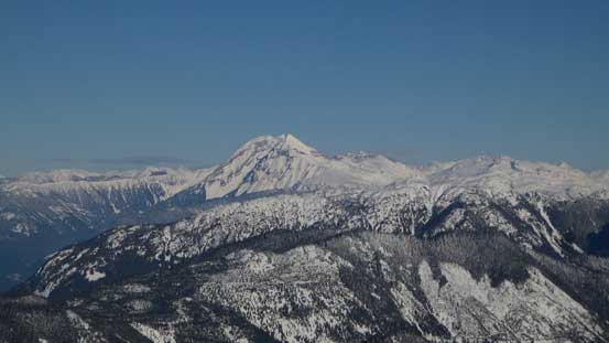
Mamquam Mountain
Looking over Capilano Mountain (foreground) towards the distant peaks by Stave Glacier

Meslilloet Mountain

The Five Fingers and Obelisk Peak
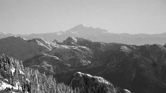
Mt. Baker on the southeastern horizon
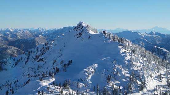
This is Mt. Windsor – our previous objective
Mt. Hanover which I bagged last month via the south couloir, south face
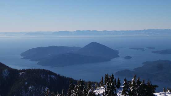
Bowen Island in Howe Sound
A wider view looking north from the summit
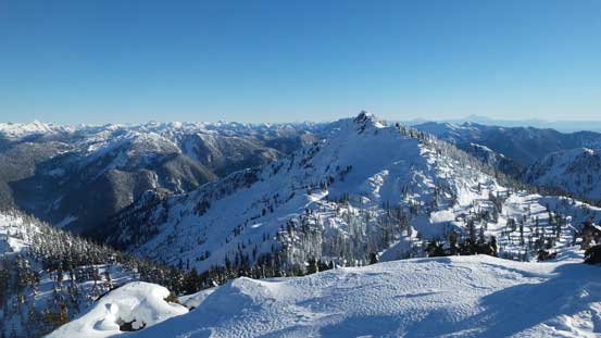
A wider view of Mt. Windsor
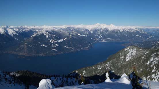
Another shot of Howe Sound

Al and I on the summit of Deeks Peak
Keeping our bearing due west we gotta have to traverse up and over a series of false summits. There’s some micro-terrain, up-and-downs and steeps but nothing overly tricky until the terrain started to descend steeply. This area is exposed to wind so the previous parties’ tracks weren’t very visible and we got confused in no time. We made a mistake by going too far down skier’s left (south) side and had to backtrack. Then turning right (north) we dropped into a valley feature. Picking up their tracks we followed them down into the upper Kallahne Creek valley but after a while I checked my GPS and realized it’s deviating from the planned path again. And sure enough, the path soon took a 180-degree U-turn, overcoming some very steep side-hilling terrain with some very bad run-outs. Neither of us were happy about their route choices, but nevertheless we got down into the creek.
Leaving the summit behind

Looking ahead to the traverse over a series of false summit bumps

Panorama of Howe Sound from the last false summit. Click to view large size.
Looking back at the true summit
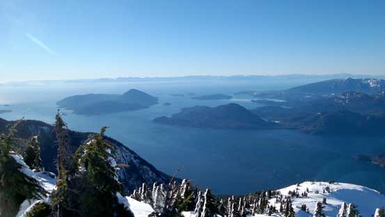
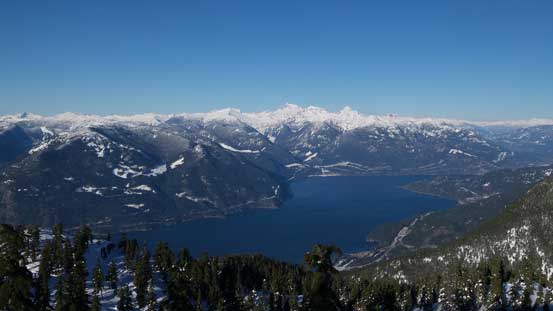
Howe Sound

The deep valley with Brunswick Mountain behind. Deeks Lake is also visible.
Looking back at some of the steep terrain we just descended.

A closer look at Deeks Lake
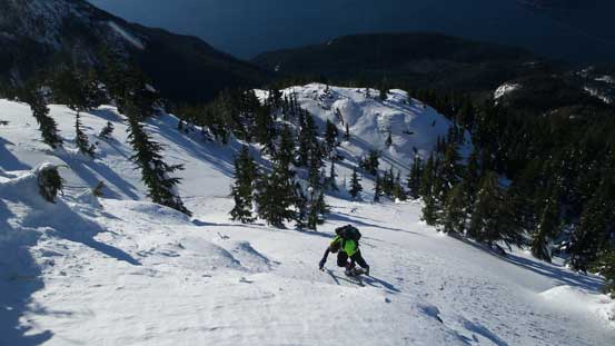
Boot-packing up this steep roll thank to a navigation error…
One last look at Howe Sound.
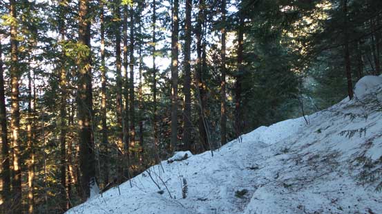
Descending the upper Kallahne Creek valley weren’t very pleasant mostly due to the very uneven surface of snow. There were wind drifts, slabs, breakable crusts and powders as well as at least 2-3 snowshoeers tracks all mixed up creating all kinds of surprises. The cabin was a welcome sight though and we spent some time lingering inside flipping through the logbooks. There’s a highway of tracks downwards from the cabin and the snowshoes were no longer required. Deep post-holes were quite often discovered but plunging down was still overall much faster than going step-by-step on the ‘shoes. The overgrown old logging road was a long and monotonous one. Gradually the snow on the trees started to disappear and the trail had make its transition from nicely-covered-by-the-whites to icy/dirty surfaces. The next thing we’d reached the main Porteau Road and followed it for an additional kilometer back to the parking lot.

Descending the upper Kallahne Creek valley
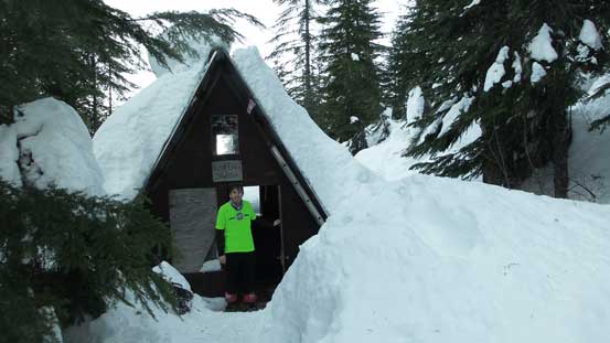
Down to Lost Creek Shelter now.

Descending from the shelter on a very packed trail.
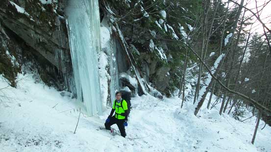
Checking out some huge icicles.
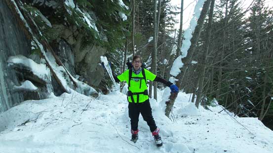
Playing around…
Getting lower now.
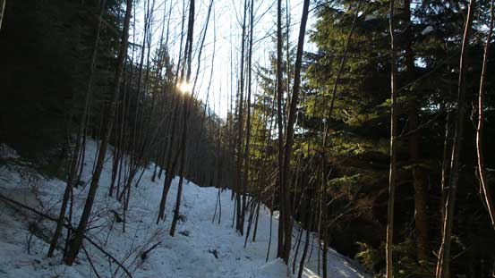
Sunbeam through the trees

Almost back to the parking lot.
Our round trip time was about 9.5 hours which was a bit faster than I was expecting. The previous groups of tracks surely helped a big time on our pace and I’m very glad to have done Deeks Peak as a traverse. In my opinion this one has better view than Mt. Windsor but on the other hand it’s also a bit more involved.
