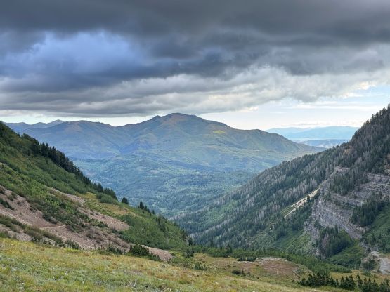
Mount Timpanogos
September 1, 2026
3582m
Provo / Salt Lake City, UT
Mt. Timpanogos is the most sought after among the handful “ultra prominent peaks” in Utah, most likely because of the iconic profile and the proximity to Salt Lake City. There are quite a few P100m “peaks” and a ton of routes on this massif and the standard route to the main peak has a paved access road and an excellent trail that pretty much goes all the way to the top. One does need to do some scrambling but nothing’s really worth noting. This route is so popular that the government had put up a restriction that one would need to have a reservation to park at the trail-head on weekends and holidays. Of course I knew nothing about that, but fortunately I ended up being there on a weekday.
This was the 3rd objective in this extensive 2-week road trip and I spent the previous evening pushing down from southern Idaho. I did Hyndman Peak in the previous day so that was quite an exhausting push. I was also dumb enough to follow Google Map’s direction blindly. I was very sure that I put the destination to “Timpanogos Campground” but that was a mistake, as the correct spelling is “Timpooneke Campground”. Google did not bother to call me out and instead, directed me all the way around the south side of the massif to Aspen Grove. I didn’t realize the problems until literally pulling into this wrong trail-head but then I realized I could also do the summit from this side of the mountain. I contemplated about that but disliked the added elevation gain, so drove another 20 minutes around to the correct parking lot. The roads weren’t looking too promisingly but they did connect. I pulled in at 11:30 pm but then by midnight some college kids started to show up. At least 10 different parties had showed up in the next couple hours talking extremely loudly so I basically got no sleep. I was intending to get up at 6 am but opted to start hiking at 4 am. That would be the earliest possible starting time as I didn’t want to summit in the pitch dark shivering in the cold for sunrise.
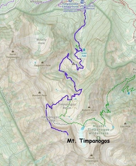
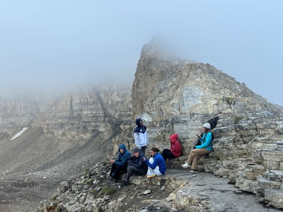
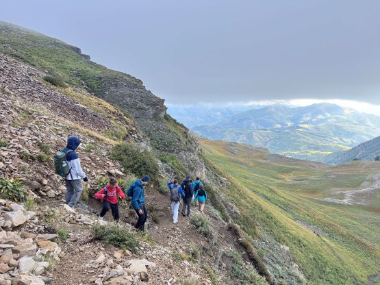
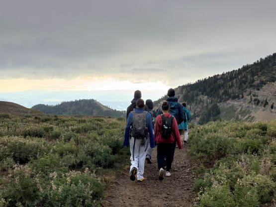
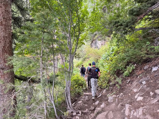
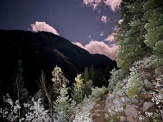
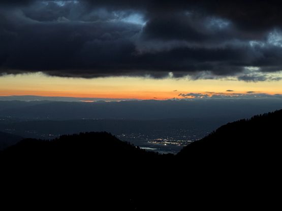
I had no idea about the experience of those parties and I assumed they’d be like the Indonesians plodding at at most 1/3 of my speed, but I was actually quite wrong. Most of those kids were almost as fast as myself so I wondered what made them deciding to start at 1 or 2 am in the morning. They all ended up shivering on the ridge for hours and none dressed properly for that. Anyway I plodded at averagely 4 km/h since the trail was mostly excellent and was never too steep. I did take a major short-cut following a preloaded GPX track around and above the first switchback but went off route immediately afterwards. There’s a fairly well travelled path that led me to a waterfall and at this point I was able to spot a group-of-3 ahead. I was going to catch up to them but fortunately I pulled out the GPS and realized the mistake. I backtracked and found the correct trail after some wet bushwhacking and the other team backtracked as well. The bushwhacking in this area was awful so no more short-cutting. The ascent was very boring as I thought the trail could simply be steeper and more direct so the horizontal distance was unnecessarily long. I eventually broke out of the trees and it was still in the pitch dark, but as I approached the 3400-m saddle on the NW Ridge of Mt. Timpanogos I could finally turn off the head-lamp. It was still dark and the summit was engulfed in the clouds. I finally caught up to the college students and chatted with some of them. They had been waiting there for hours as the other side of the ridge was extremely windy. Sure, I would sit down to take a long break as well since I hadn’t had anything yet.
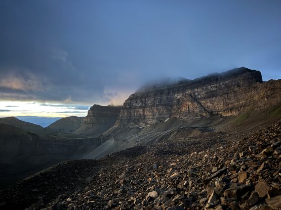
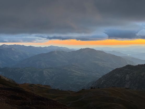
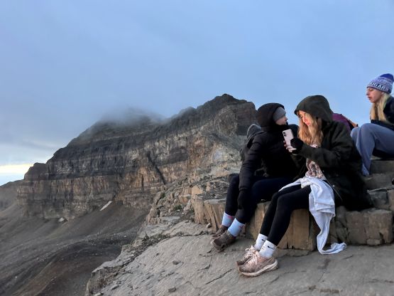
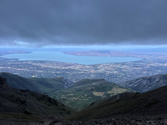
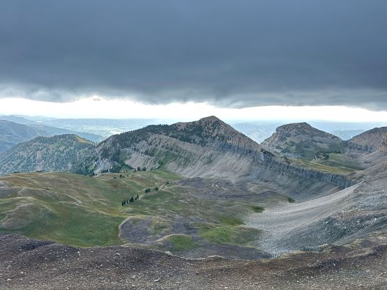
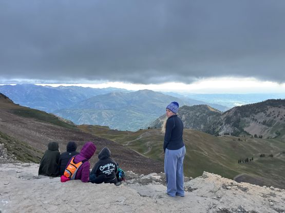
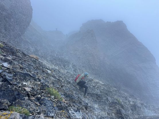
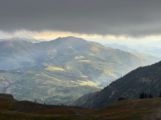
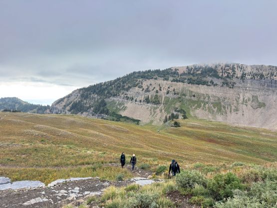
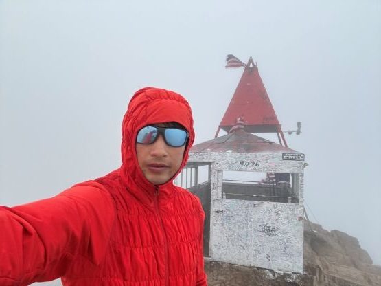
For some reasons probably the altitude I was feeling quite shitty but this break gave myself some time to acclimatize so I was feeling quite a bit better afterwards, but I too was starting to become cold as I also didn’t bring that many layers. Well, I didn’t bring the winter layering system for this entire trip and it was near freezing and extremely windy. The clouds ceiling was also dropping. I caught some sporadic cell receptions and checked the updated forecast and it sure had downgraded. I figured that I would have to start going again if I still wanted to make the summit, so up I went. I passed at least 20 people on their way down and all of them reported “no view”, and also passed several more groups on their way up. The NW Ridge also dragged on longer than I thought. As expected, there’s nothing to see from the summit besides the shelter and the other teams shivering. I checked the forecast again and decided to descend immediately. The clouds were thickening and I was concerning about lightning strikes.
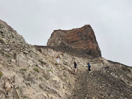
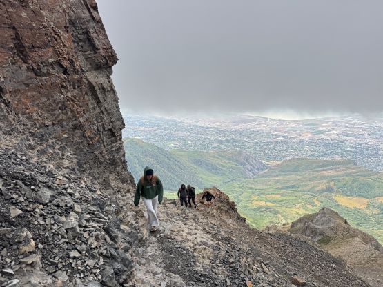
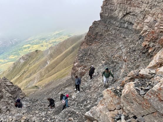
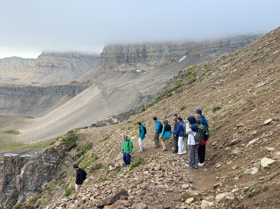
Down I went I passed more people on their way up. I also passed one girl descending who had become separated from the team and wanted me to assist her descending. She was able to scramble but had limited experience in route-finding especially in this foggy conditions, so I basically walked her back to the saddle where we all took the long break earlier in the morning. At this point even this saddle was almost in the clouds so there’s no point in lingering. I never ran on the descent but did walk reasonably quickly and eventually finished the round trip in 6 hours. It was only “mid morning” and I only had 5 hours of driving afterwards left for the day (towards Mt. Peale) so there’s no point in rushing anymore. I leisurely made myself a ramen brunch and caught up a few hours of sleep in the back of the rental vehicle. The college kids were showing up one by one but I was too spent to not sleep at this point. I eventually got up and drove back down into Provo, and the peak was still engulfed in the clouds. About an hour into the long drive down towards Moab it started to rain sporadically. I don’t think there were any lightning storms developed on Mt. Timpanogos, though.