The Copilot
September 10, 2015
1881m
Squamish, BC
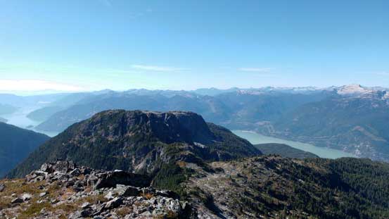
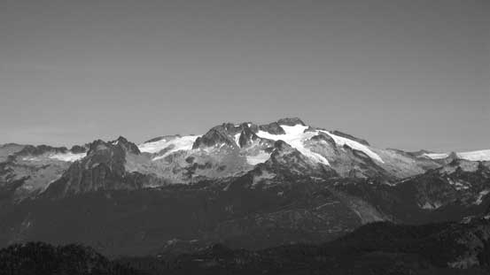
The Copilot is one of the satellite peaks of the nearby much-bigger Sky Pilot Mountain, but equally impressive especially viewing from the upper Sea to Sky Gondola station. It’s also a harder climb comparing to the more-popular neighbour. There aren’t many reliable sources online but thankfully I had Simon Chesterton’s trip report handy on ClubTread. Combining with some words from friends who just ascended it this year I knew roughly what to expect. The climb via the obvious “NE Gully” goes at Class 3-4 for just under 100 vertical meters. The ascent is often done by soloing but there’s likely some rope work involved to assist the descent. The approach is the same as Sky Pilot’s, up Shannon Creek drainage and Stadium Glacier higher up. For peak-baggers like myself it made perfect sense to combine the two together and I did so exactly. After Sky Pilot Mountain I immediately focused on the task ahead.

Sky Pilot and Copilot from Shannon Basin. GPX DL
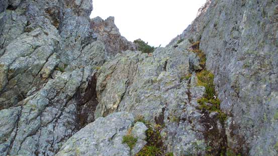
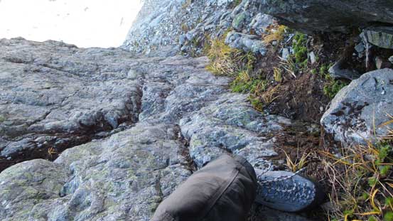
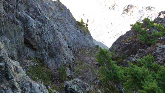
I picked up my ditched crampons just above Stadium Glacier, walked down the loose debris on skier’s left side and then crossed another (shorter) patch of ice. The terrain angle was almost flat so I didn’t even bother to strap crampons back on for that part to save some time. Once over to the west side I ditched my crampons again. And then the next section (from Stadium Glacier to the base of The Copilot) had quite a few options. I didn’t use Simon’s route and instead I picked my own based on earlier observation. I opted to ascend straight up the loose pile of scree to hit a hidden ledge which would eventually bring me back to the proper route. The scree pile was loose even by Rockies standard and getting to that ledge was particularly ugly requiring negotiating some steep moraine-like terrain, but once gaining the ledge the traverse was very straightforward and brought me back climber’s right to hit the “rock rib”.
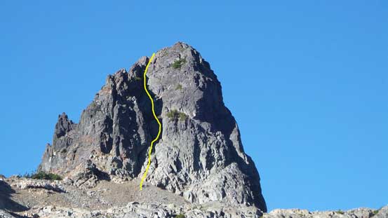
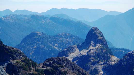
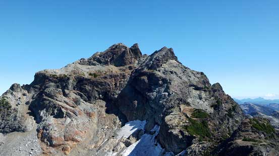
The NE Gully of The Copilot and my ascent line roughly shown

Still have to crossing a small patch of ice
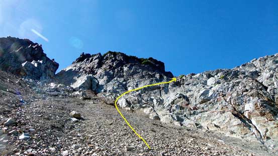
Then I went up the shitty pile of scree to a hidden ledge
The ledge was wide enough
Looking back at the very loose stuffs that I ascended/traversed.

Now getting closer to the base
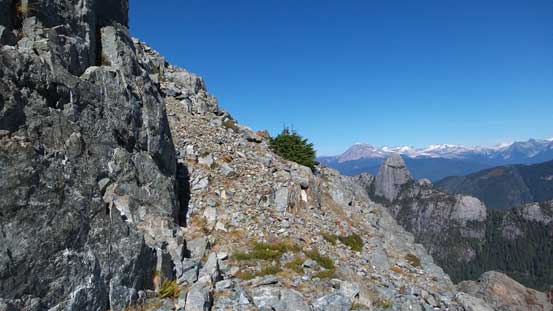
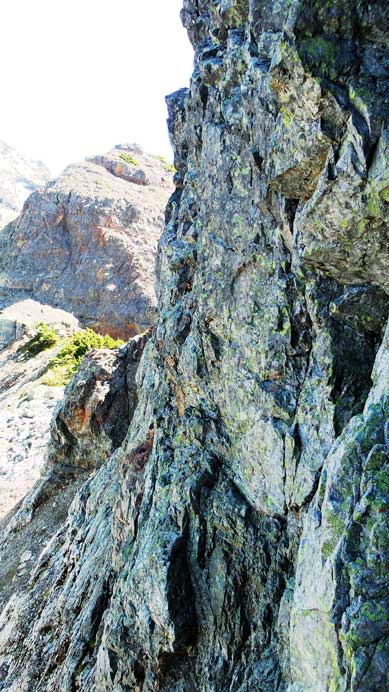
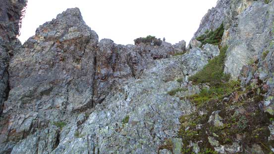
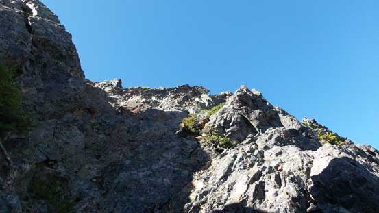
Not far up the “rock rib” I made to the saddle directly below the summit nipple of The Copilot. I again, took a break and ditched most of the unnecessary gears carrying only ropes and climbing equipment. The ascending gully looked ridiculously steep from afar but from its base the angle seemed to ease a little bit. The rock texture also looked similar to what I’d been training in the Rockies – face climbing and chimneys with lots of textures, but nonetheless I put my rock shoes on as I brought them up anyway. So up I went… I stayed mostly in the middle of the fall line but occasionally on climber’s right side too. The climb was fairly sustained but indeed not too overly difficult (certainly felt easier than the south face of East Lion that I ascended last weekend). People have commented the rock being very loose but as a mountaineer from the Rockies it felt very solid to me for the most parts. And soon I topped out…

Looking down at the first few meters of the ascent
This picture shows the steepness…
Ahead is a little bit awkward
Looking down from halfway up
It’s getting easier a bit
Further up, looking down
Almost there!
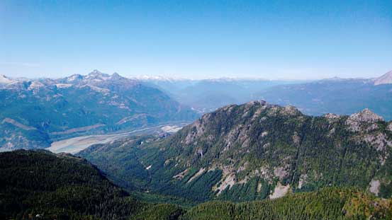
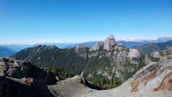
Great views of Al’s Habrich Ridge and the Squamish area
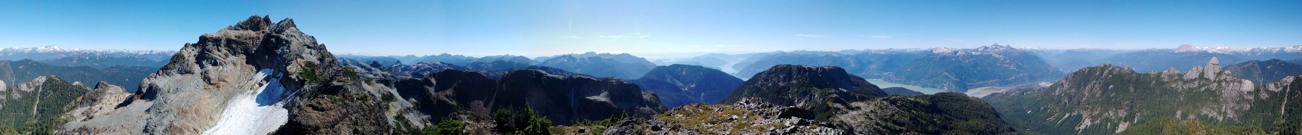
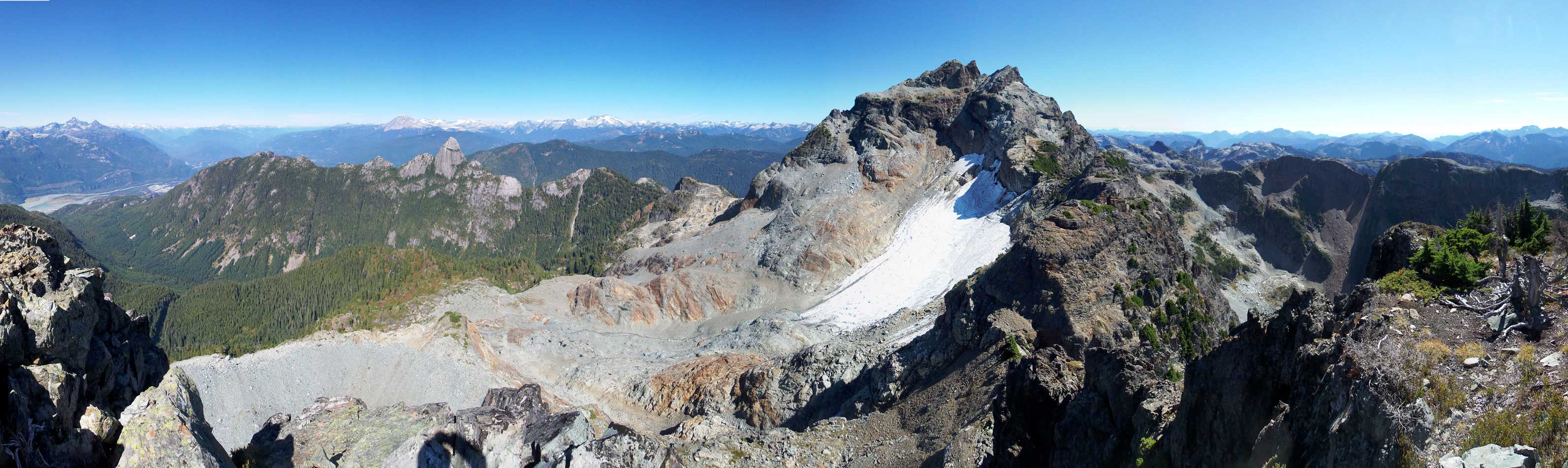
Summit Panorama. Click to view large size.
In the foreground is Goat Ridge

Could see climbers descending from the summit of Sky Pilot
Ben Lomond
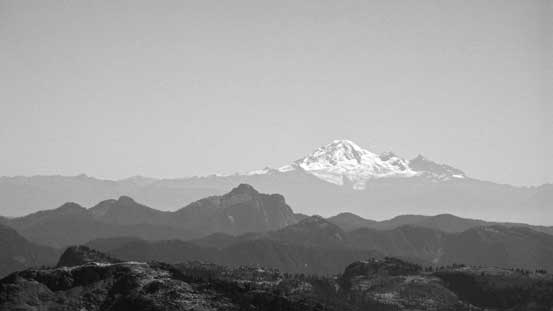
Mt. Baker
Mt. Tantalus

Mt. Garibaldi
Mamquam Mountain
Sky Pilot Mountain

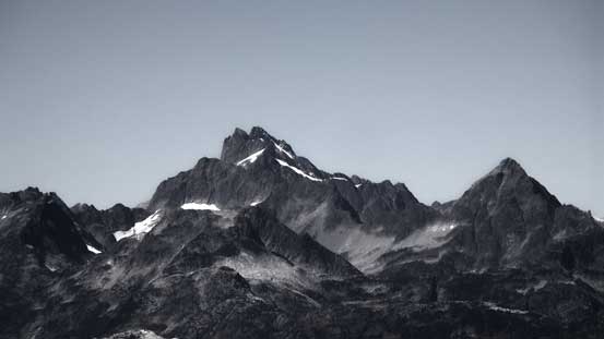
Mt. Habrich
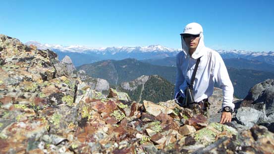
Me on the summit of The Copilot
Another panorama from the summit. Click to view large size.
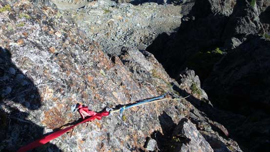
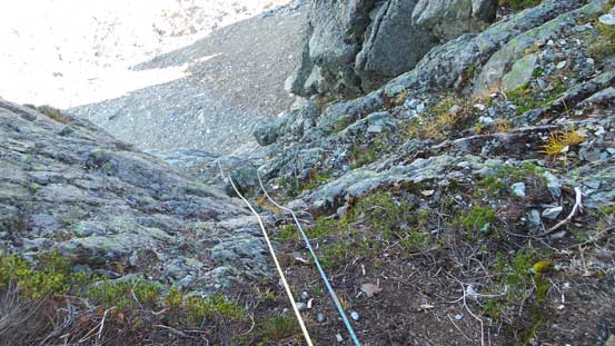
I had made mental notes about the locations of the 4 rappel stations that I passed on the way up. The lower three were all freshly placed 2-bolt stations and the uppermost one was slings on trees. I could have down-climbed the gully but all 4 anchors appeared excellent to me so I opted to rappel. I hauled two 30 m ropes up anyway so might as well use them… So down I went station by station. The 1st and 3rd rappels were short and could be done by just one 30-meter rope, but the 2nd and 4th rappels were considerably longer. There’s fair a bit of coiling and rope management for a solo descent of this route but Oh well…
Rappel #1

Rappel #2
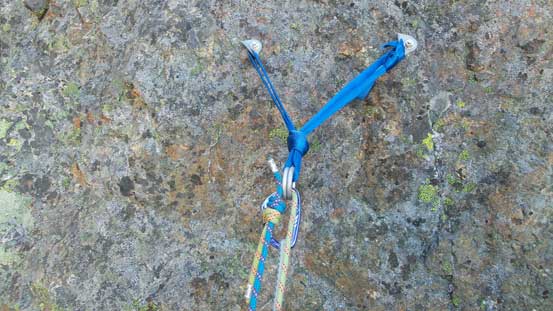
Station for the 3rd rappel. 2 rap rings?! that’s luxury…
Rappel #3

Rappel #4
Descending the lower slopes I decided to retrace my own steps down that ugly scree cone rather than exploring a different line. I probably wouldn’t recommend my line as getting into the scree cone was again as expected, very shitty. Scree skiing down the cone was a different matter though – fast and fun and in short time I was back on Stadium Glacier. Crampons on and I got to enjoy a nice “ice tour” down the flattish glacier, and then the slog began.
Back to Stadium Glacier

Looking back towards Sky Pilot
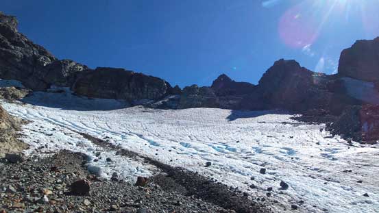
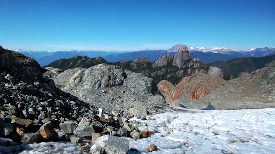
A review shot of Stadium Glacier. Route goes up climber’s right beside the debris
Mt. Habrich and Al’s Habrich Ridge to its left
Going down the rocky bowl felt tedious as it’s mostly on brisk-sized rubble so every step was hard on my knees. Once entering the forest the ground was mossy and soft and that’s nice, but then thank to the humidity and moisture it’s slippery at places… Then down to the Sky Pilot Valley trail (really just the old logging road) I changed my footwear back to sneakers and then it’s the final 1-hour slog back to the upper Gondola station. I got caught up by the group of 4 Squamish locals that I met on Sky Pilot earlier in the day. We did the rest of the hike together and enjoyed fair a bit of chatting, but oh man to keep up with them I really had to push myself a bit… We made to the station by roughly 5:15 pm so there’s still some time to relax before taking the Gondola ride down. The “download only” ticket only costed 10 bucks and saved me 900 vertical meters of descending, so I’d say it’s all worth the spent. And a bonus was the views from the ride being much better than from the forested trail…

Descending the rocky bowl
One last look at the sexy Mt. Habrich…
Back to the official Sky Pilot Valley trail, looking back

Perhaps the only view from this official trail
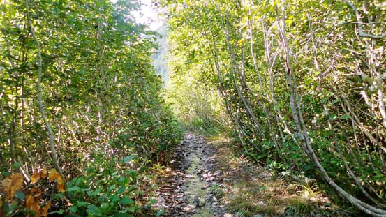
Can’t imagine cutting the trail through these alders….

From the upper Gondola station, looking back at my objectives
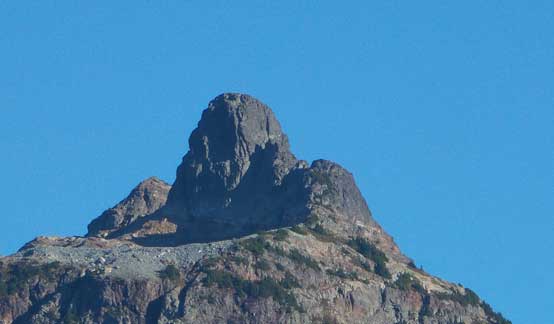
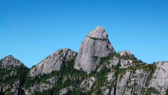
A zoomed-in shot of The Copilot.
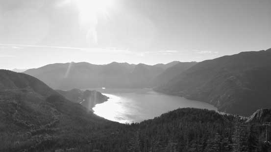
Howe Sound
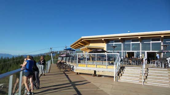
The Gondola station
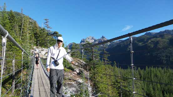
Me posing on the suspension bridge
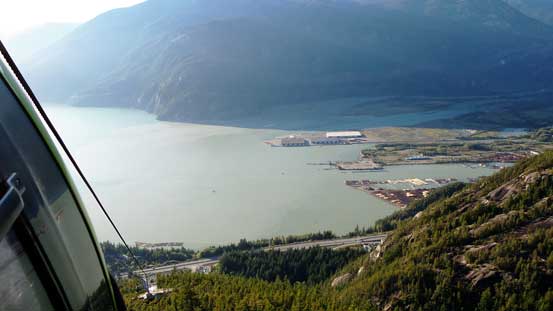
A view of Howe Sound from partly down the Gondola ride
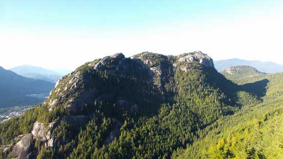
Good view of Stawamus Chief’s backside

Shannon Falls at the end of this day
My round trip time was about 11.5 hours and that’s not a bad pace considering I hiked entirely up from sea level in the morning (so over 2300 m elevation gain in total), and overall this was a great trip to bag the two Pilots in one shot. I’d very love to return to the Shannon Creek basin to climb Mt. Habrich someday as it’s a great looking peak and will offer some fresh challenge. And now the weather still looked good and I had another plan in mind….
