Gunung Talang
August 23, 2023
2597m
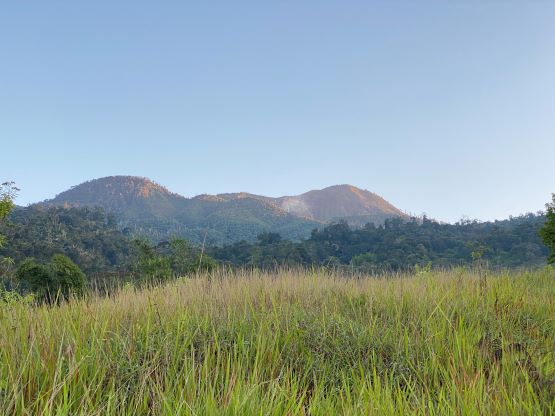
Sumatra, Indonesia
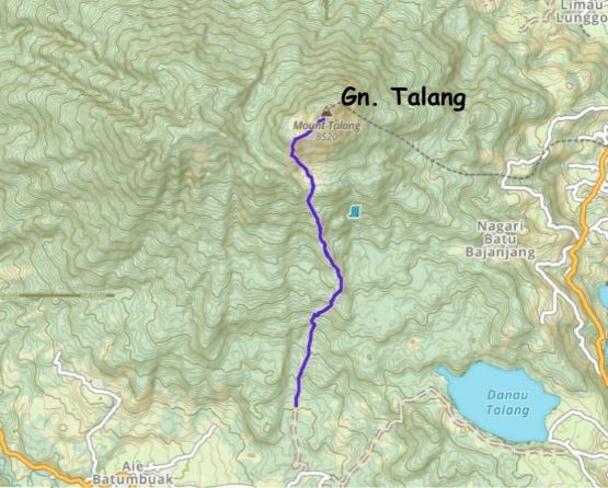
Gunung Talang is one of the easiest “P1000m” objectives in Sumatra as it’s a short hike with good access by this island’s standard. There are two routes and the more commonly used one is the southern approach from Air Batumbuk. It turned out to be longer and harder than expected as the hike still involves over 1000 m gain on rough jungle terrain, even with ojeks (motorcycles) to dispatch some distances. Adam and I were definitely spoiled by Java’s easiness, and apparently the island of Sumatra is more representative for what one needs to expect in the tropical jungles.
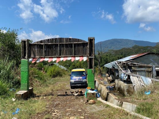
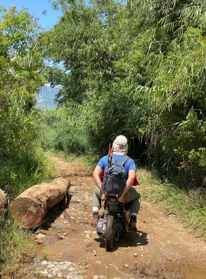
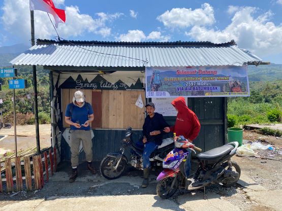
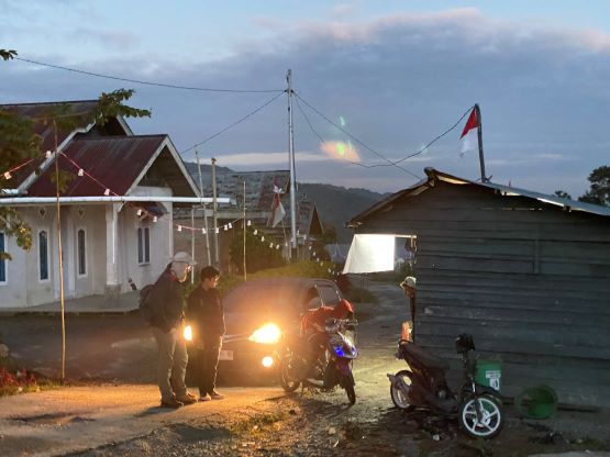
The first thing we needed was a private driver with a vehicle. We did not book the driver prior to coming to Sumatra, but Kayu Jao Resort was able to link us with Fuji “West Sumatra Guide” who secured our driver. It was actually Fuji’s brother who came to pick us up. Fuji herself is a guide so she knew these mountains well enough to give us some useful suggestions. The most important last-minute message I got from her was that the vehicle could only make to the registration office. I immediately responded that we would then need two ojeks to be at the registration by 6 am. I didn’t have a high hope but Fuji got the job done in about half an hour. She also made our registration either online or by calling, such that all we needed was to wake up, eat and show up at the registration post. The next morning our driver was on time and so were the ojeks, that by 5:50 am we were already riding up the unpaved road towards the actual trail-head. The dirt roads weren’t horrible but would be challenging for the 2wd car with bald tires. It did not impose any problem to the ojeks and our ojek drivers were skillful. The ride was short (less than 2 km with only 100 m elevation gain) and we knew for a fact that Deividas and Rob did not ride ojeks in their 2022 trip, but we wanted to shorten these hikes to the maximum possible extent.

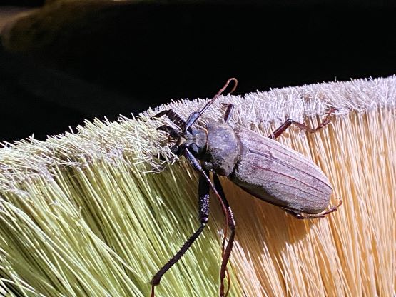
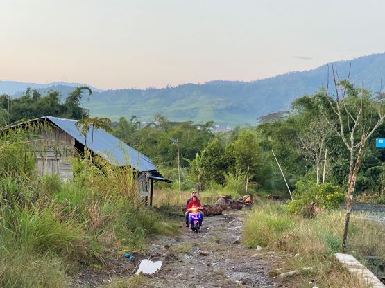
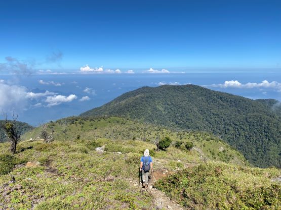
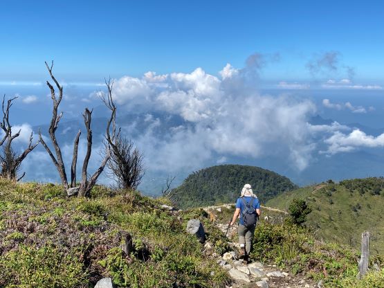
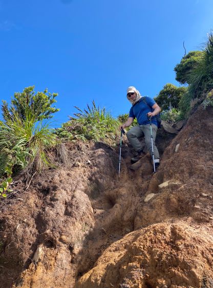
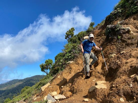
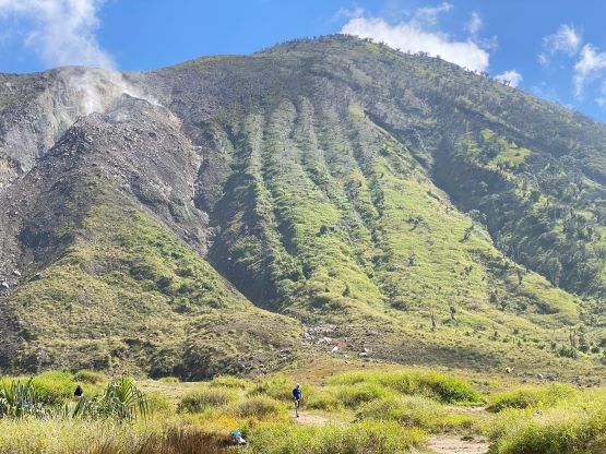
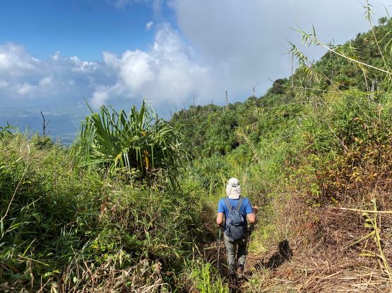
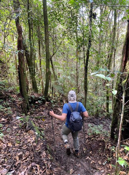
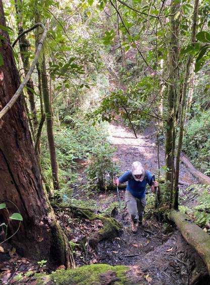
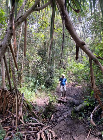
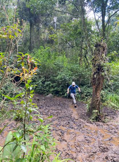
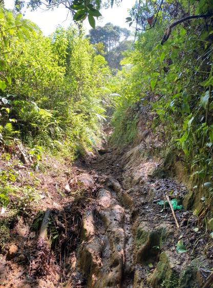
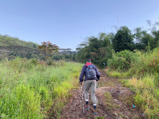
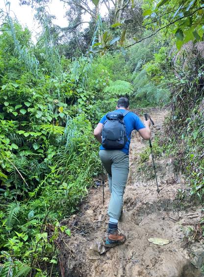
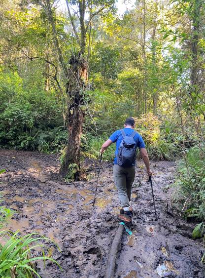
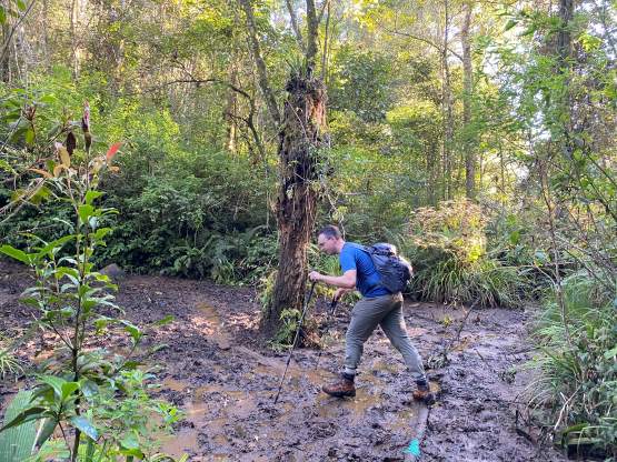
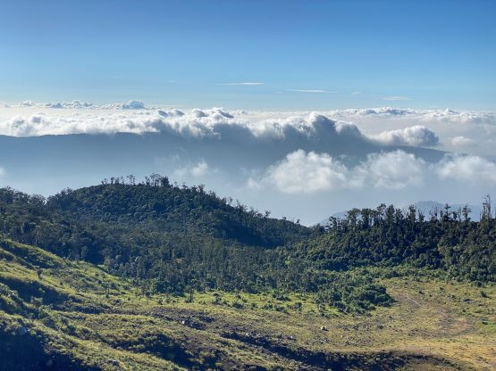
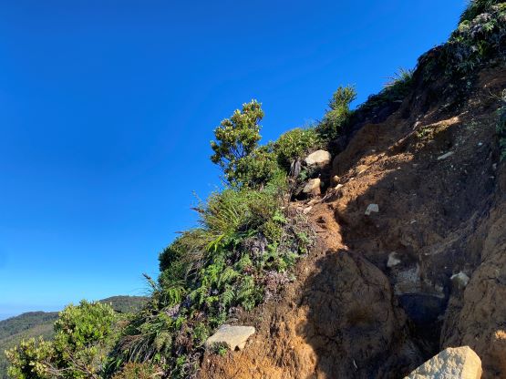
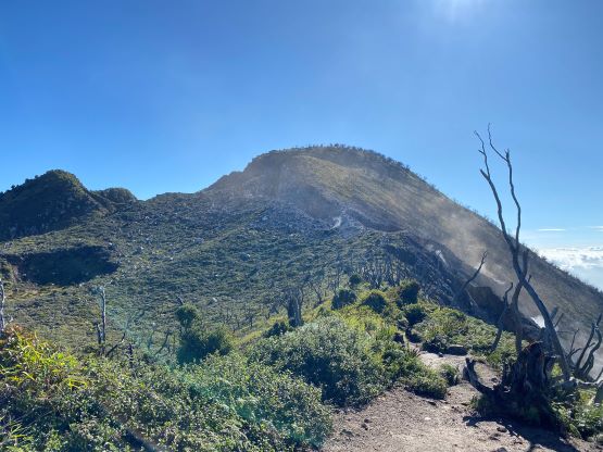
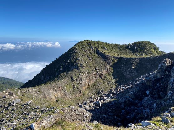
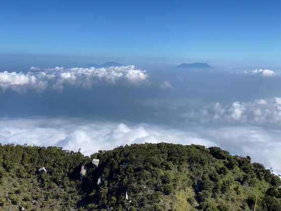
This is an actually quite interesting objective as we had to hike through a few different types of terrain to reach the summit. The bottom section was plodding on farm lands with some tall grass, and thankfully the trail was wide and obvious. We then hiked through some jungle mud to enter the forest, and the mud was considerably more slippery than on Kerinci, that I felt like sliding constantly on melted chocolate. Once entering the forest the going became easier, but we had to deal with several large puddles of deep mud. Keeping the shoes dry was quite a challenging fair. At around 1800 m elevation Adam noticed a leech on his pants and this was my first time ever seeing one of them. It was much smaller than I thought, but then I noticed a bleeding spot on my left hand so I was already bitten. That was a bummer but I wouldn’t complain as these suckers do not transmit any disease. After resuming the ascent we both paid more attention to our cloths and hands. There were some steep sections that required scrambling on tree roots but the scrambling was much tamer than what we just did a few days ago.
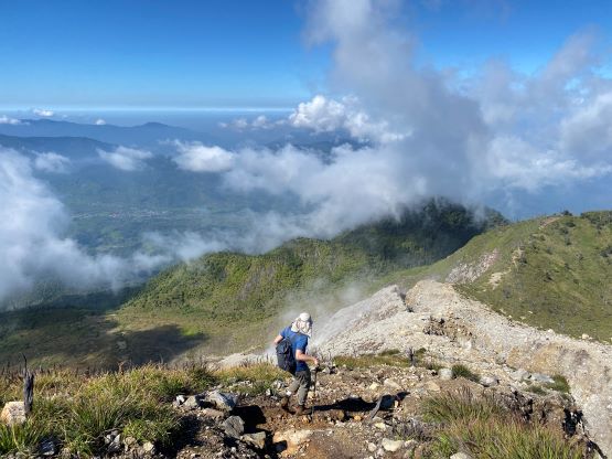
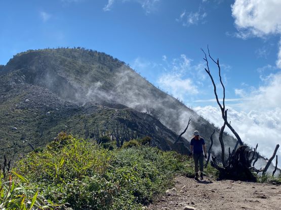
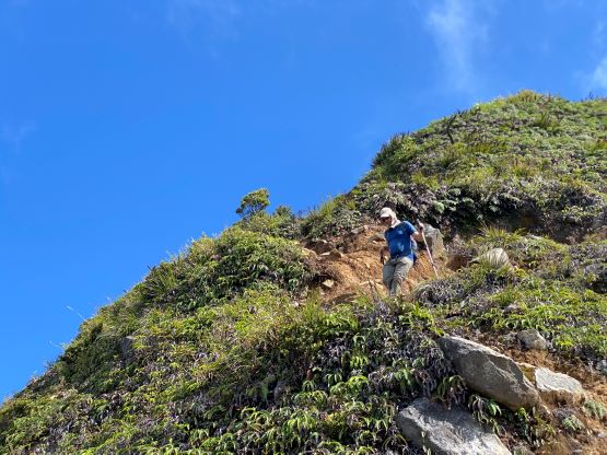
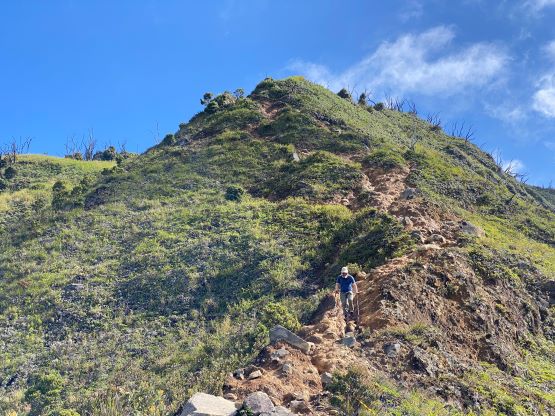
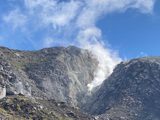
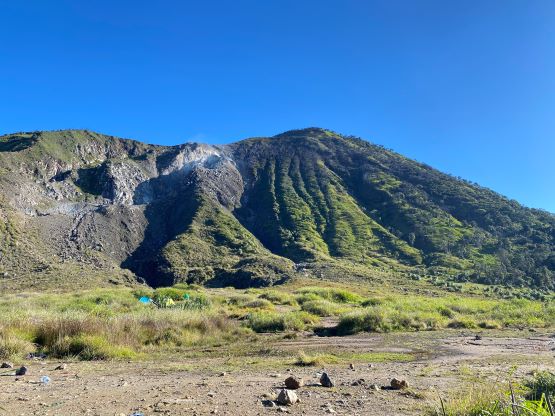
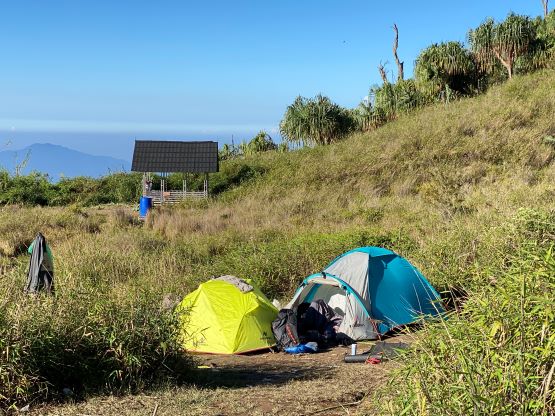
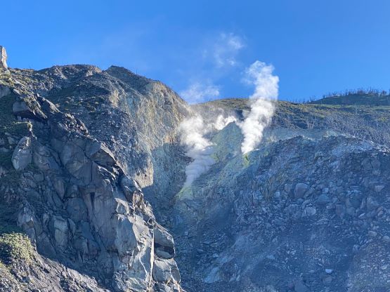
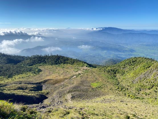
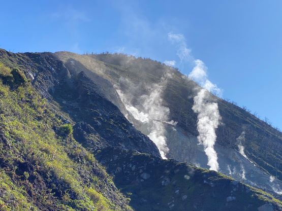
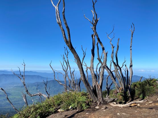
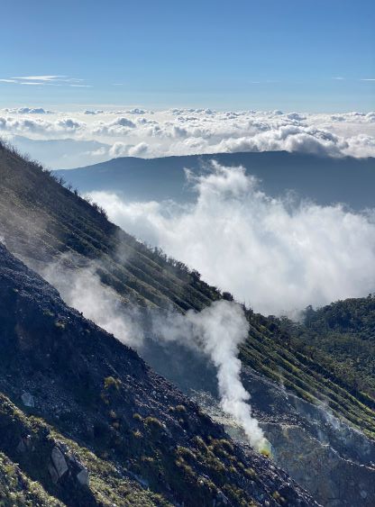
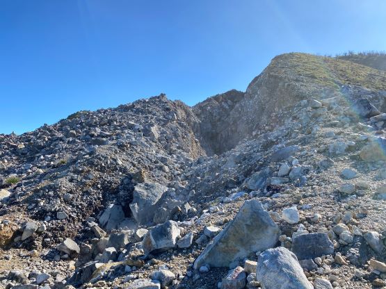
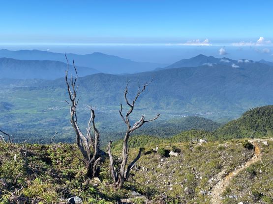
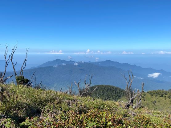
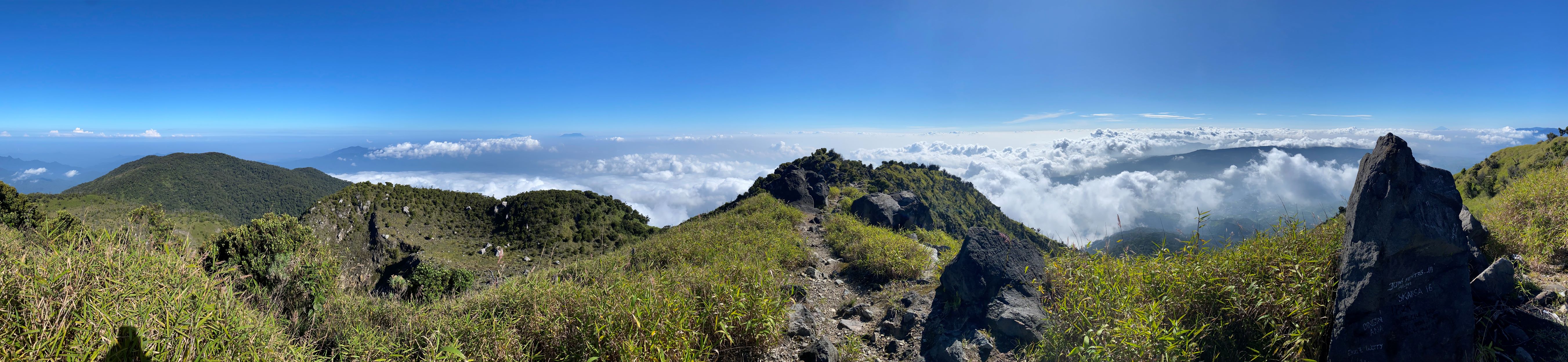
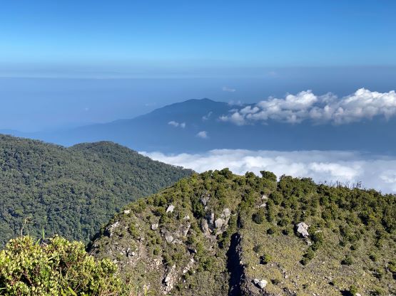
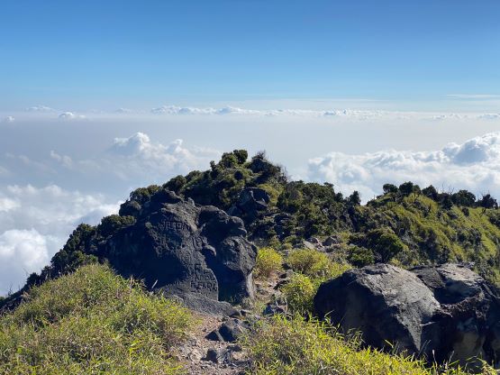
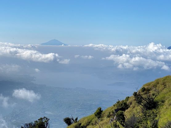
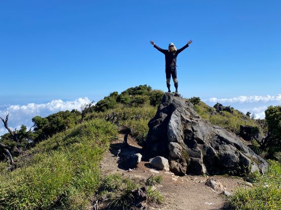
After what seemed like eternity we came to the large plateau under the summit block. This is where most parties opt to camp, and we noticed at least two groups of tents. There was nobody around nor higher up on the mountain so the people must be still sleeping in their tents. There was still over 400 m gain to reach the summit and the day was already becoming hot. The terrain was also very steep and somewhat loose and challenging, that the final ascent felt like a grunt. The steepest part was an exposed section of mud steps under the upper SW Ridge, that caution was definitely required. A slip there would not end up pleasantly. The final dash to the true summit was also longer than appeared and we also had to deal with the toxic volcanic fumes. I forgot to bring a buff but thankfully the wind direction was mostly doing us a favour. I felt the volcanic gases were rather tolerable even though we had to traverse very close to the active fumaroles. There were some great views as the trees were mostly all killed by the volcanic activities. The true summit seemed to lie slightly north of the sign post, and we made sure to tag the few contenders to be absolutely sure.


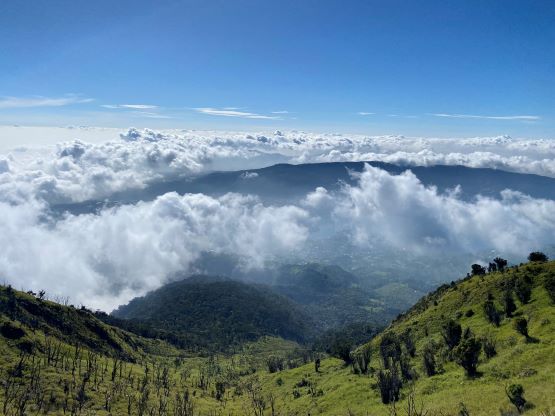
We were not doing particularly good on time because the plan was to get back to the hotel well before noon to take a deserved shower. By our current pace I wasn’t even sure if we could get back by noon. The descent off the upper mountain was quite straightforward and the rest of the jungle section wasn’t that bad neither. Again we paid more attention to leeches and didn’t observe any, and our round trip time was just under 5 hours. About 15 minutes after finishing the hike the two ojeks were ready, and we were down to the registration post shortly after. The driver had been patiently waiting. We paid our registration and ojeks fees and drove back to the hotel minutes before noon. The hotel manager had already texted me about the check-out and to possibly extend the stay, but we still went for a shower. We eventually checked out at around 12:20 pm and that was okay. The rest of the day was then spent driving northwards to Padang Panjang to position ourselves for the next few objectives.