Nooksack Tower
August 8-9, 2026
2524m
Mt. Baker Highway, WA
Nooksack Tower locates on the extremely rugged NE Arm extension of Mt. Shuksan massif and the tower itself is confirmed to be prominent enough to qualify as an independent peak by the recent LiDAR survey, so it is also a new addition to the Washington’s 200 highest peaks. That’s not the reason why I did it, as my interest was triggered way before the LiDAR technology. This is known as one of the most difficult objectives to climb in the “Lower 48” that even the easiest route involves a gnarly approach, significant amount of hazards, steep snow and rock climbing. The summit register documents who-is-who in the Washington’s climbing community in the past few decades and many of the summitters ended up having several close calls, mostly on the descent. The “beta” of the standard route which roughly follows the NE Gully and NE Face has becoming clearer thank to the few trip reports in the last few years. Specifically Sean Rogerson (2023) had claimed that the route could be no worse than “low 5th class” and Fletcher J./Eric E. (2025) sort of confirmed that. However, Cole Fulton’s group (2024) who also used the same beta thought the route was harder than advertised. The trip reports from the previous generation such as the 21-hour camp to camp push by Tom S. and Don B. did not make this objective sound like something within my league.
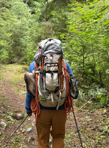
I had an oppourtunity to talk to Fletcher about their trip in person and then cross referencing the three trip reports in the last three consecutive years I finally started to make a serious plan about Nooksack Tower. I thought I could have even led the entire trip so in this case, Erica would be the ideal partner and she sure was keen on tackling something gnarly in this summer. Earlier in the year I told her to be able to bail anything in life including whatever work commitments as soon as a window formed, and my preferred timing was the second half of July. However, the weather was atypical and we were also distracted from technical objectives further east in the Purcells and the Rockies. Then there came the first half of August when some solid weather finally lined up perfectly with a weekend. Erica didn’t even need to take a day off work. We would leave home on Friday evening and do the trip over the weekend. There’s a dip in the temperature on Sunday morning and I wasn’t keen on front-pointing up 50+ degrees snow, so we would get up early and aim to do the climb on Day 1. I doubt that had been done on Nooksack Tower but given the thorough research I couldn’t come up with a reason why we couldn’t manage that. In term of the gear I decided to challenge the “beta”. We would only bring one 60 m half rope and a small set of nuts and cams for the rock pitches, if there’s any, but we would bring two tools and technical boots/crampons for the glacier and steep snow. All of those turned out to be the “perfect” calls. We used most of the gear we had brought but also did not “wish” to have anything else that we didn’t bring.
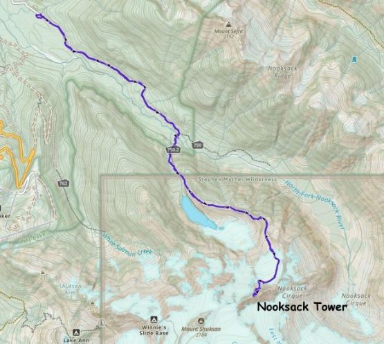
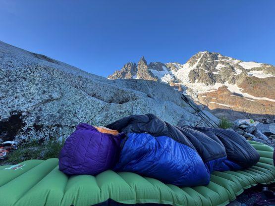
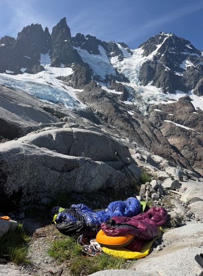
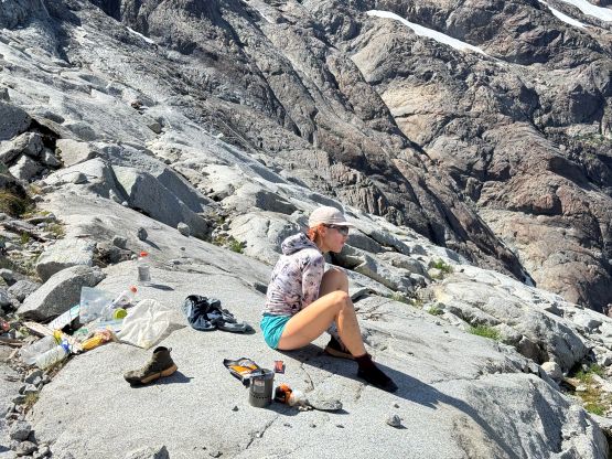
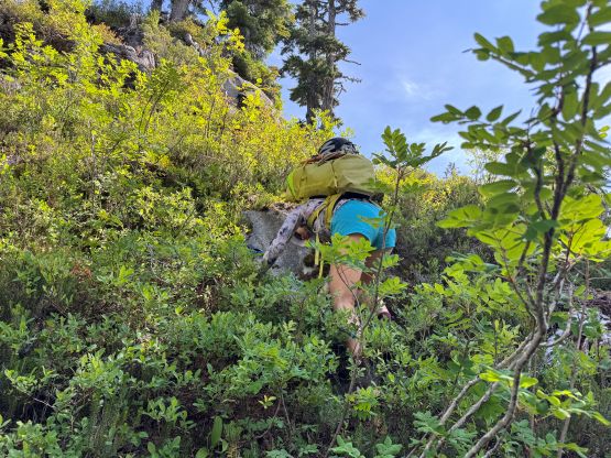
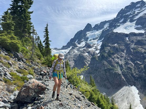
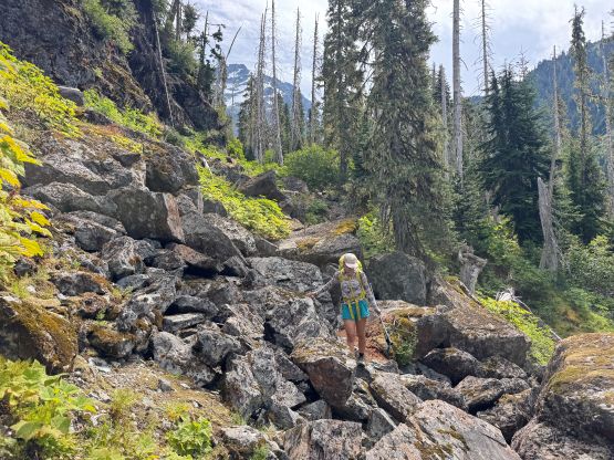
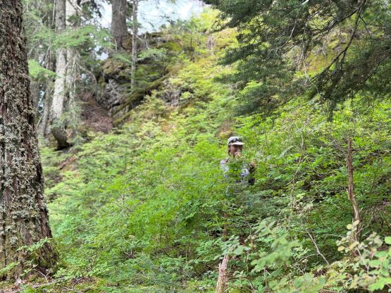
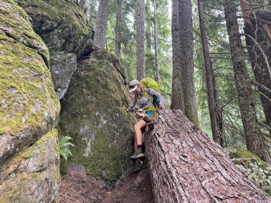
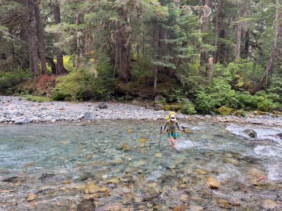
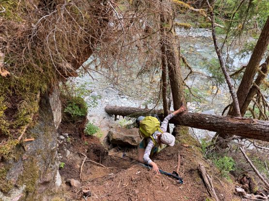
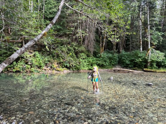
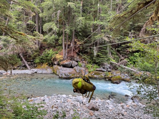
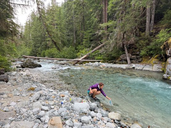
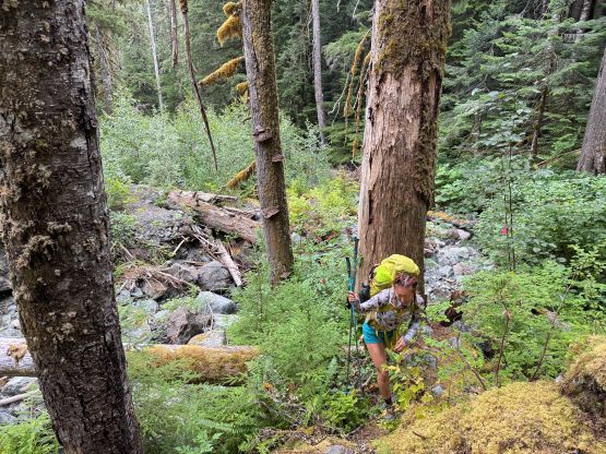
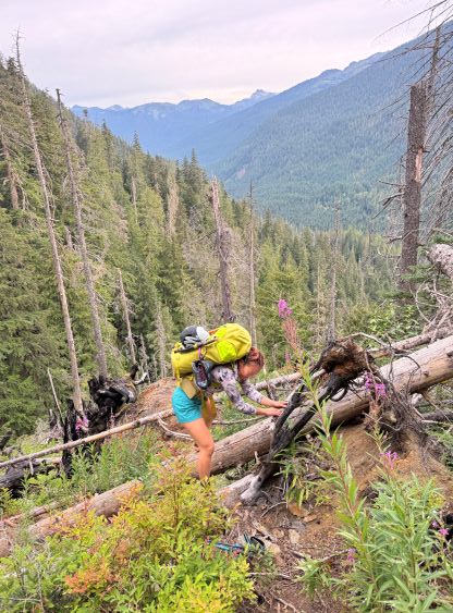
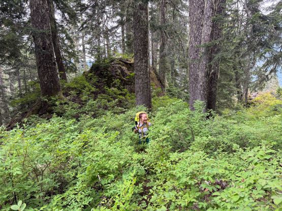
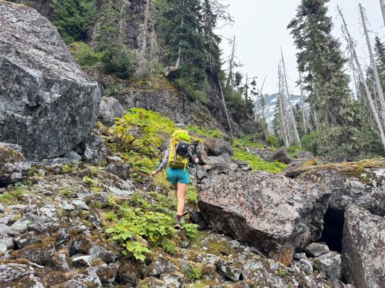
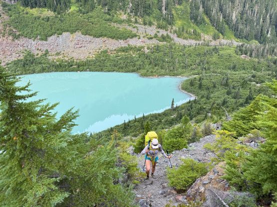
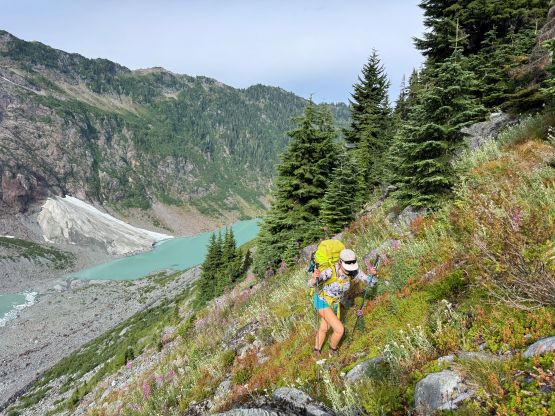
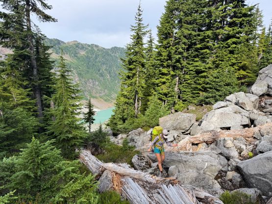
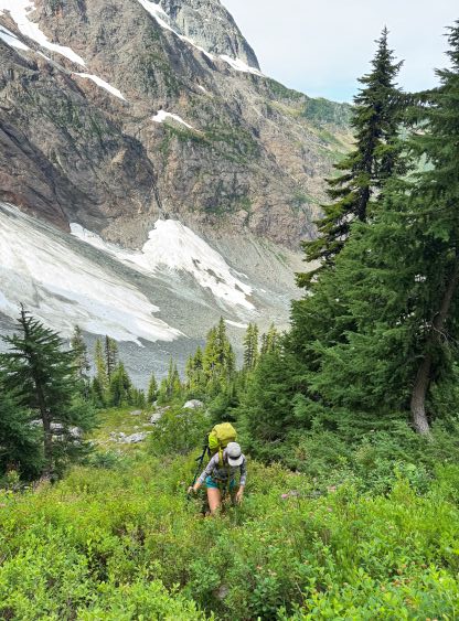
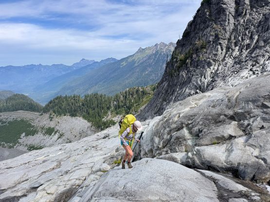
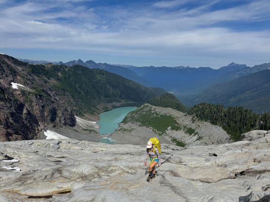
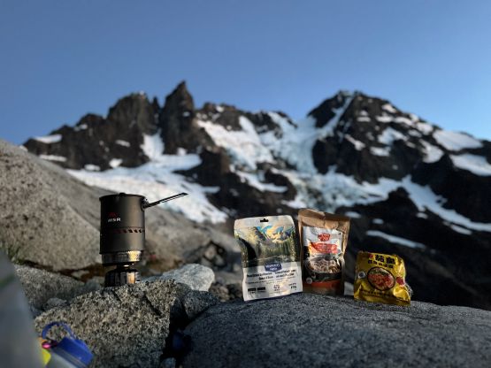
For once we no longer had the 10 hour of driving to get to the trail-head. We simply left Surrey at 8 pm and even did the last minute packing in my home. We got to the trail-head 2 hours later and slept in the back of the Subaru. It was hot at night. The next morning we got up at 4 am and started plodding an hour later. The decision to have cold breakfast was correct as I was definitely not keen on getting out of the vehicle in the pitch dark to turn on the stove. We dashed up the 5 or 6 km of flat road/trail and then used Sean’s GPX track to correctly locate the turn-off for the river crossing. There’s a good trail leading down to the crossing which was almost impossible to miss. The Tyrolean cable mentioned in the 2025 trip report was still intact but neither of us had experience in using that. I did watch a YouTube video at the very last minute before leaving but executing the plan was much harder than I thought. After wasting 15 minutes trying to get myself onto the cable I decided to simply ford the river. We did drag Erica’s backpack across to at least get a little bit of the experience. The river itself was only knee deep and could be easily forded. We then filtered and loaded up 2 L of water each and began the grueling approach which was also the Price Lake’s trail. The bottom of the trail was less defined but once the grade picked up the trail was very easy to follow. There’s also evidence of fresh maintenance and we encountered 4 separate groups of hikers on the way out. Apparently this area was more popular than I thought. From the end of the moraine (end of the trail) we opted to stay low by traversing on the edge of the forest but staying in the open. This went well but we had to gain the 150 m elevation at the end and that involved some bushwhacking, a few class 3+ steps and a lot of traversing on steep heather. The going was fine for us coming from SWBC but was not very pleasant. We then traversed onto the slabs and upon seeing a spot with running water and flat/wide enough to lay two sleeping bags we opted to drop the overnight gear. I sensed no need to carry all the way to the 1850-m col. I had only brought the +2C sleeping bag and I was not particularly keen on embracing the winds and the cold.
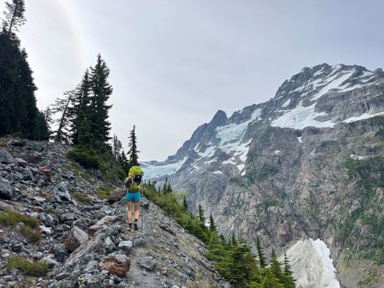

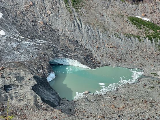
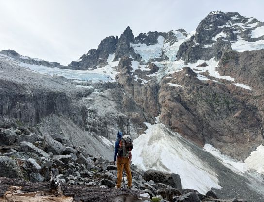
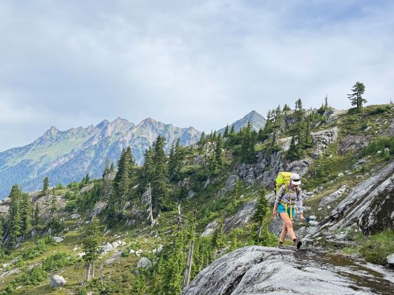
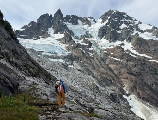
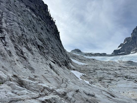
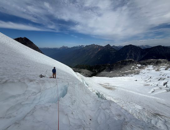
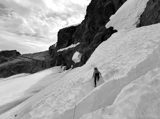
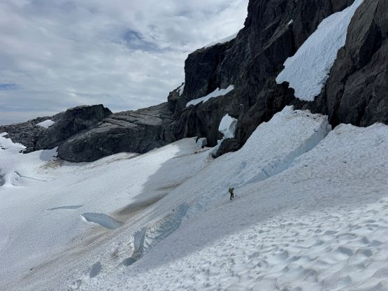
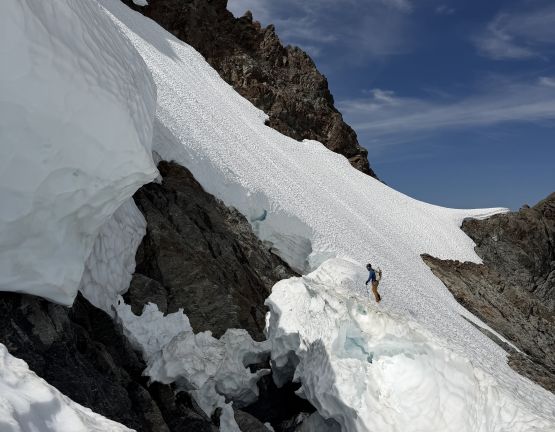
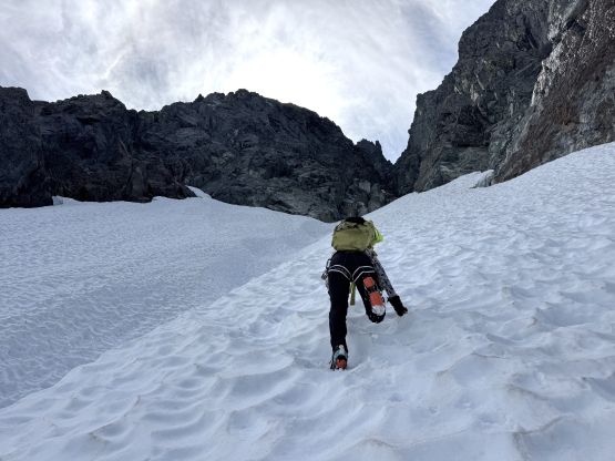
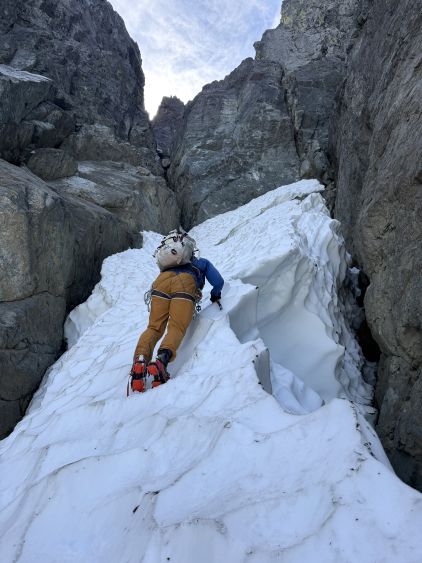
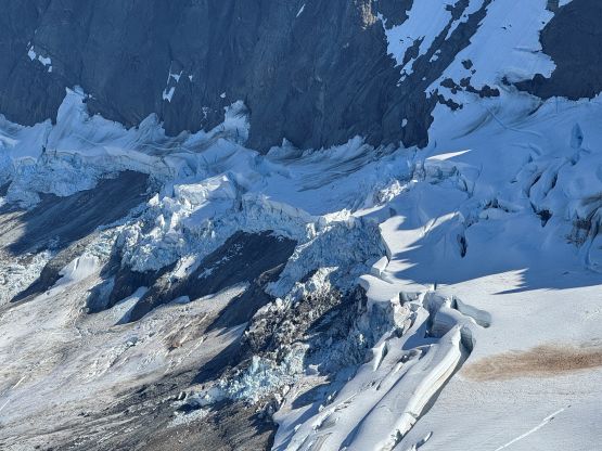
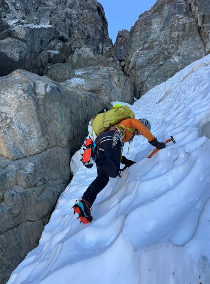
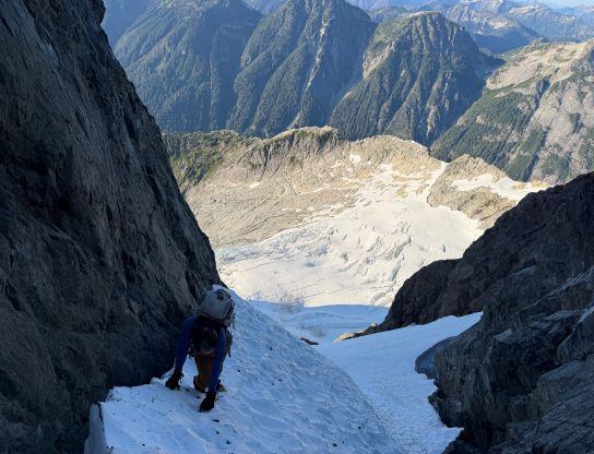
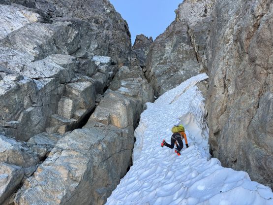
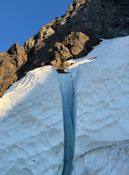
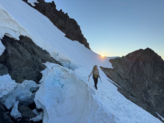
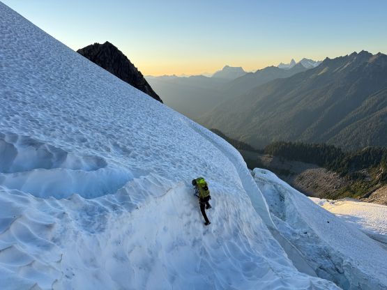
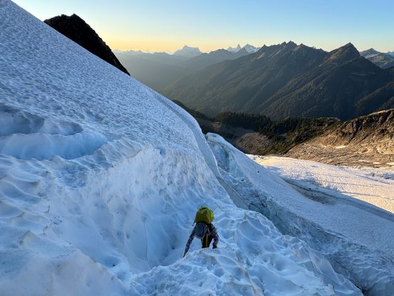
After what seemed like eternity we finally started the summit push. We had about 10 hours of daytime left and I thought that would be sufficient enough. Sean’s group took 11 hours return from the higher camp and we should be able to at least match their time. We were slightly quicker than them on the approach hike and we weren’t even pushing the pace. We kept wearing the approach shoes and gained elevation rapidly on the slabs. We deviated from the GPX track and veered farther climber’s right towards the edge of the glacier as we didn’t have to gain that upper notch at all. There were a few more sources for water and we loaded up 2 L each at the last possible source before donning boots, crampons and harnesses. The snow was extremely consolidated and our plan was to mostly stay high not far from the edge of the rock. There weren’t many crevasses but the ones higher up were definitely serious. The biggest crevasse was actually hidden. What I thought was an “easy passage” on the far climber’s left actually involved a sizeable crevasse with a questionable snow bridge. I accessed the situation and there’s no other way around, so I asked for a belay. The crossing was actually fine but it reminded me some of the stuffs I did in the Robson area, Alaska or even the Greater Ranges. I then belayed Erica up and we unroped for the steep traverses ahead. By staying low and traversing a long ways out to the right we avoided any troublesome bergschrund, and once the grade picked up we stowed the poles and took the second ice tool out. The snow climbing up and into the couloir was very foreshortened and the grade was definitely 45+ degrees for the most part. Fortunately there were plenty of oppourtunity to put in a “rest step” wherever we wanted to have one, and that’s exactly why I opted to climb it in the middle of the day. Higher up we traversed left and accessed the final moat from the far climber’s left side and there was at least half a pitch of 55+ degrees. This corner of the route has no direct sunlight for pretty much the entire year so the snow was rock hard and required front-pointing. We correctly located the chockstone chimney but the transition was extremely awkward and involved some squeezing shenanigans in the moat, and there’s no comfortable stand to swap footwear.

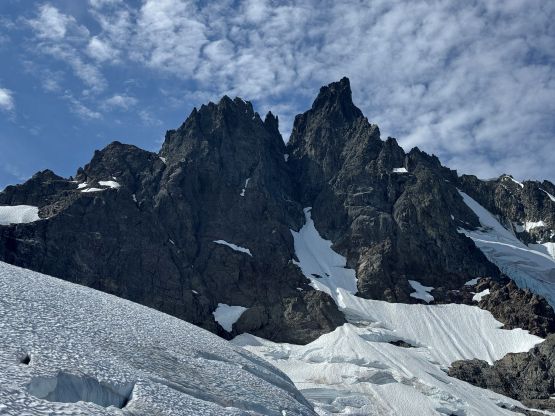

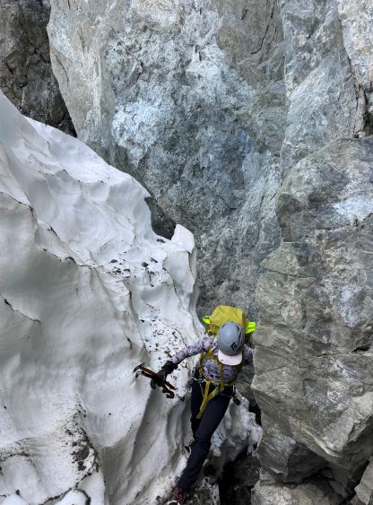
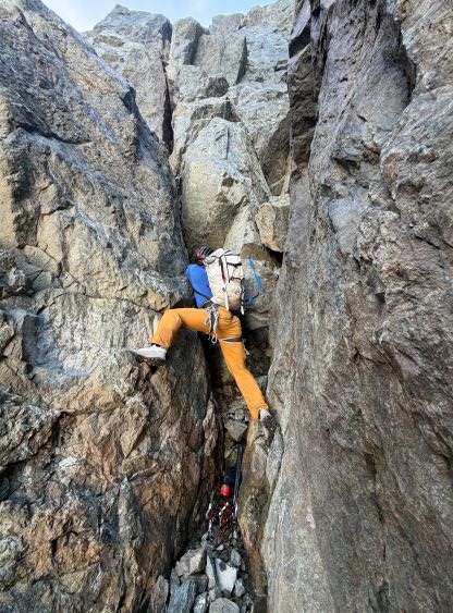
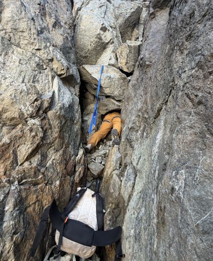
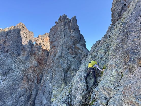
The transition was one of the most awkward I’d ever done but we did eventually got the approach shoes back on and ditched the boots, crampons and ice tools. The chockstones appeared harder than the pictures suggested as the terrain was basically vertical. I tried to climb the first chockstone (with a webbing) but disliked the moves and the questionable “holds”, and I eventually figured out the solution by tunnelling inside. The tunnel was just wide enough for me to squeeze in without a pack. We then climbed the 2nd chockstone with our packs on and that was the on-route technical crux of Nooksack Tower in my opinion. The picture in Sean’s trip report made it look like “not much” but there’s no way I could make that move in his way without cramping my legs. We both ended up mantling up but it took both of us a long while to figure out the sequence of those moves. I personally would definitely classify this chockstone pitch as “class 5” even though there were only two challenging steps. The rightwards trending “wet ramp” was not wet for us, but had lethal exposure as advertised. I didn’t find this part to be particularly bad and we were then on scrambling towards working our way due climber’s right on steepening slabs. The “beta” was not clear as the correct way of describing the big picture was “right, and then left”. I wouldn’t emphasize on the leftwards traverse without mentioning how much rightward one has to traverse on this lower face/ramp system before reaching the middle part of the face. As a result we got off route and had to take the rope out midway up a sustained 5th class pitch to climb up what I would describe as a headwall feature. There’s one bail anchor with white webbing or cord underneath the class 5 headwall that could not be missed, and the correct way was to make a hard rightward traverse on thin and exposed ledges (class 4+), which we discovered on the descent. The terrain further to the right was much simpler but I could not see that from below. I eventually ran out that full 60 m pitch and found a small crack to put in two cams to bring Erica up. The existing anchors were either to the left or to the right and were only visible on the descent.
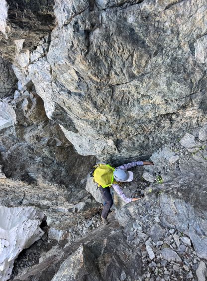

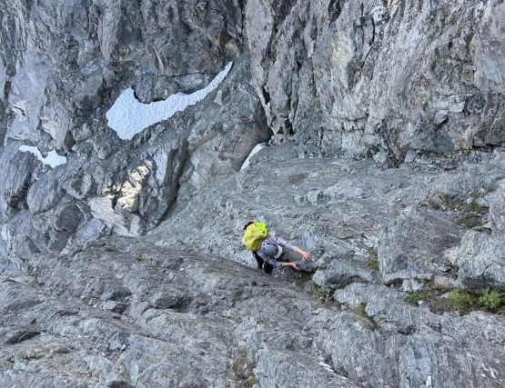
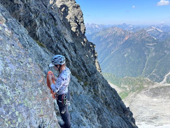
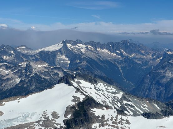
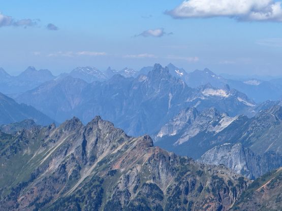
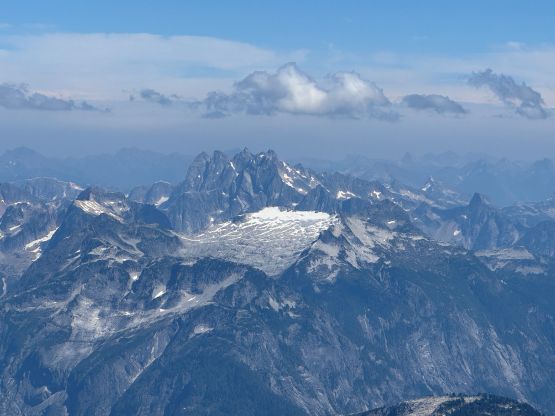
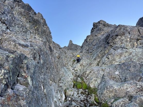
We were now slightly above Sean’s GPX track on the middle part of the face so the focus now was to traverse hard left across many ribs to access the “big gully”. The traverse could not be done without gaining some elevation and sure enough, we gained too much elevation. There were a few spots that one has to basically “force” to stay lower (even with some down-climbing) in order to stay on route, and that’s very counter intuitive. We again, went off route but nailed the route-finding on the descent a few hours later. This off-route mistake did not force us to take the rope out but we had to solo some 5th class moves on very questionable and exposed terrain, which I swore that we needed to find a better way down. We did eventually work our way leftwards into the “big gully” and this gully was indeed no big deal. We gained a lot of elevation and only encountered one tricky move in a chimney feature. Once the summit ridge was in sight I tried to picture what Fletcher meant by “traversing further left into the next gully”. There’s one spot that I randomly opted to check out and sure enough, it provided an easy passage into the leftmost gully. I built a cairn and we resumed. There was virtually no cairn anywhere on this route and I kind of didn’t understand. Maybe they all fell apart due to gravity. The leftmost gully brought us to the base of the summit pitch which was reported to be “5th class”. It was soloable but I would prefer to rappel it on the descent. The summit did offer the million-dollar view but honestly I had to stay focused and lay out a plan to get us down this mountain in one piece. It had taken us just over 4.5 hours from the camp to the summit. We were doing fine, so let’s take half an hour break on the summit, enjoying while we could.
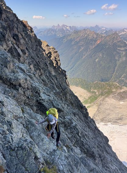
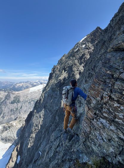
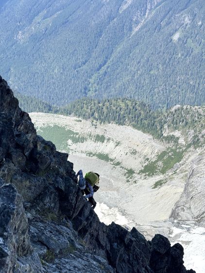
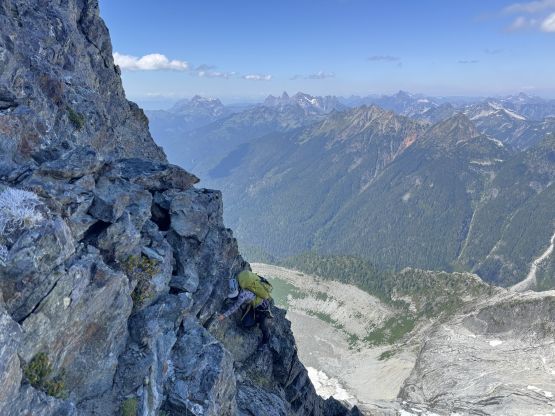
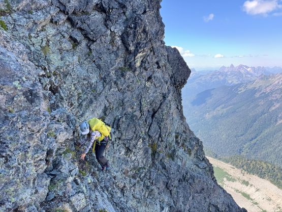
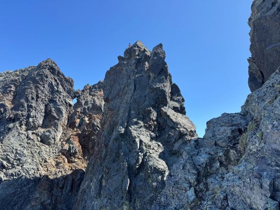
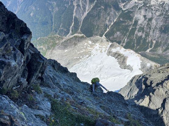
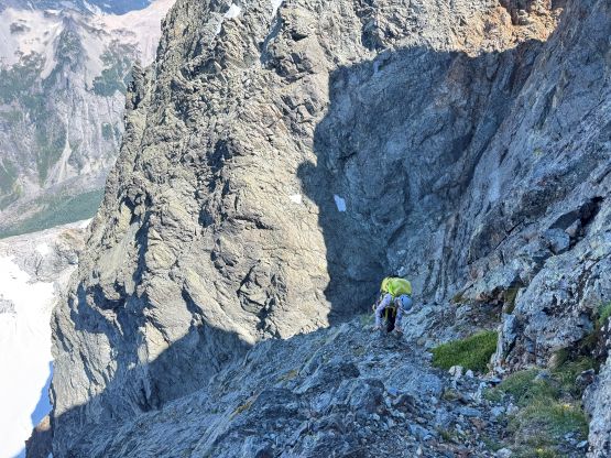
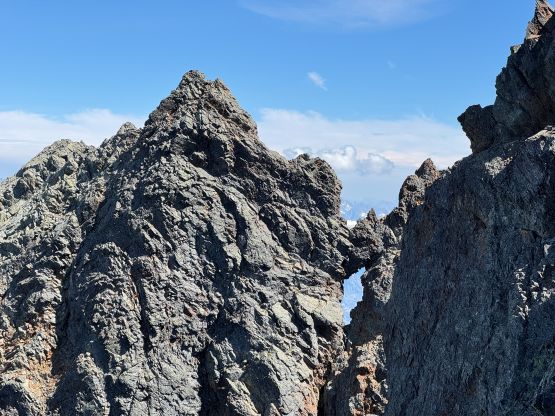

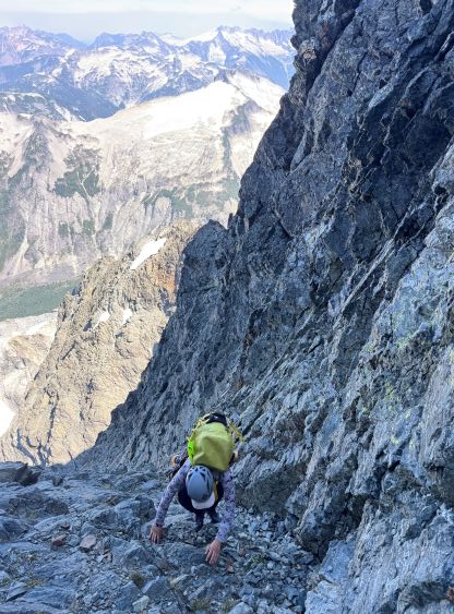
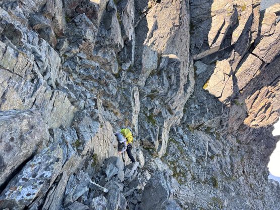
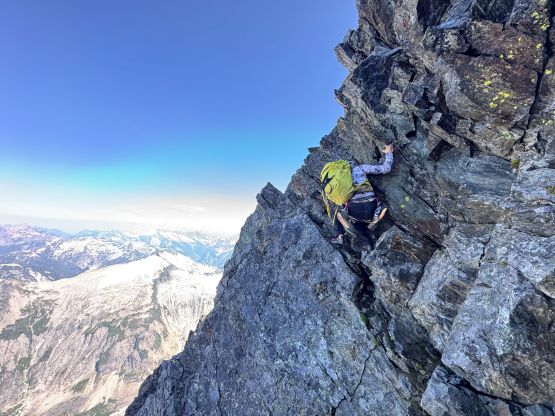
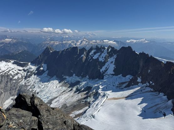
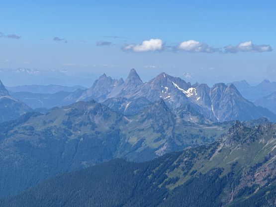
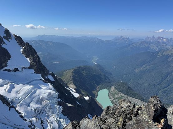
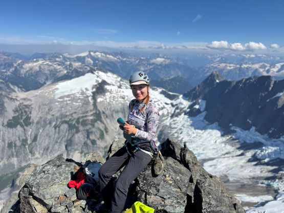

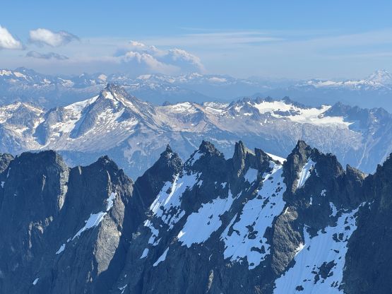
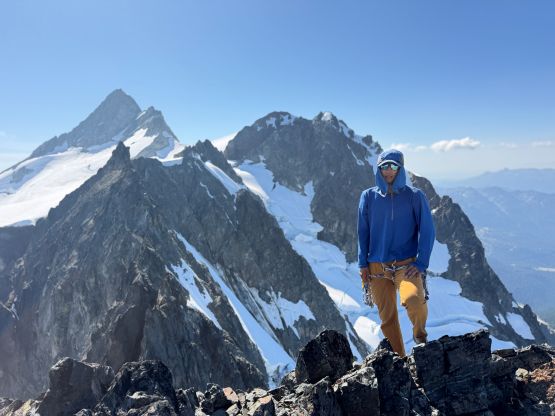
The rappel anchor was about half a pitch down the north ridge with some knife edges in between, so it wasn’t obvious at first. I had to overcome some difficult moves just to access it and enough is enough, it was a choss bollard… The main body of the bollard sounded hollow upon kicking/tapping but I could not physically move it, and someone had backed it up by slinging around another block higher up. Down-climbing this pitch would also involve a great amount of risks as some moves were 5th class and the rock were pure choss, so between that and trusting the bollard I opted for the latter. We were not heavy climbers, after all. We then down-climbed the leftmost gully, crossed over to the “big gully” and down-climbed basically as far as we could. I knew there were two areas that we (well, mostly me) had to correct the errors and this was the first one. My solution was to ignore Sean’s GPX for now and descend at least one pitch further down the “big gully” before looking for a way to cut across. The ledges were thin and we had to do a few re-climbs to cross the ribs but sure enough, I think this was the way. There’s nothing harder than “class 4” and we were now back on the middle face looking at the lower mistake area. This one was a serious one as there’s no way we were going to down-climb our off-route crux pitch, and there’s no existing anchor anywhere close to make a rappel using the single 60-m rope we had brought. We suddenly came across one massive bollard with multiple tats. I doubted if a rappel from this point could get us off the headwall but we might as well try. I rapped first (one mostly class 3 and 4 terrain) and sure enough, it only brought us down to the lip of the steeps so nope. Erica might as well make this rappel so we could coil the rope from below, but I wouldn’t count this as a proper rappel we did. This area was only “scrambling”, after all. If there’s a way it had to be down the far skier’s left (away from Sean’s GPX track). They probably had soloed some 5th class terrain and made rappels using the double 60-m ropes so I shouldn’t be using their beta anymore. This was the right call. As soon as we started descending skier’s left we encountered two more bail anchors and mostly class 4 terrain, and eventually I started to work our way back into that slabs/ramp area. This involved some guessing work and I managed to pick a soloable line in one shot. There were airy moves involved, but nothing too difficult to note.
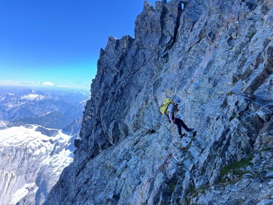

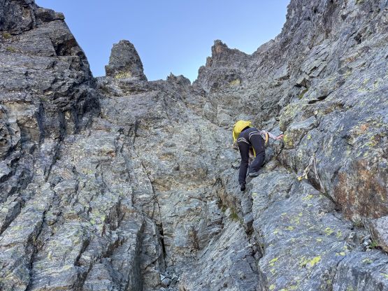
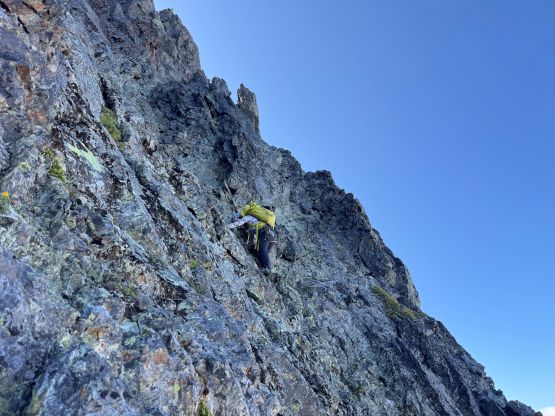
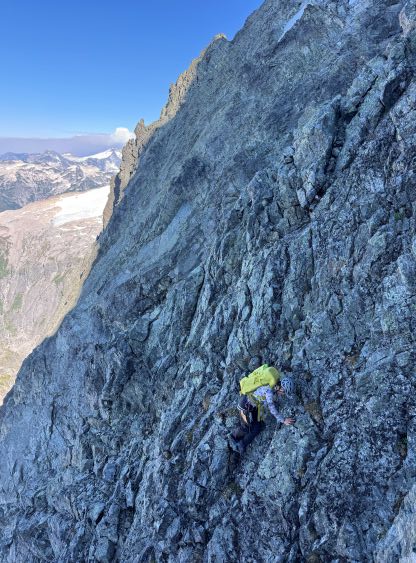
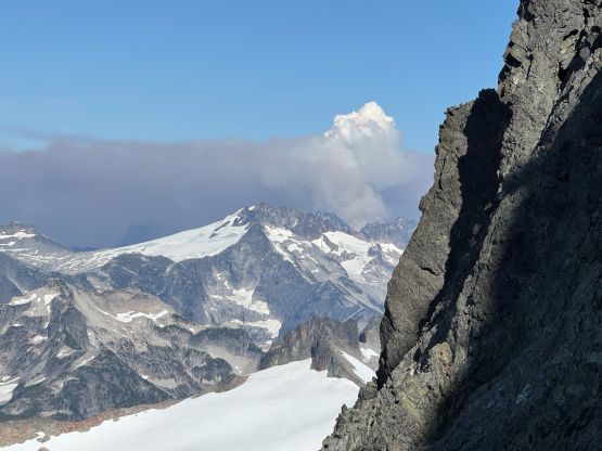
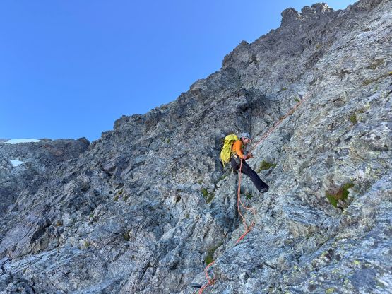

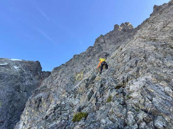
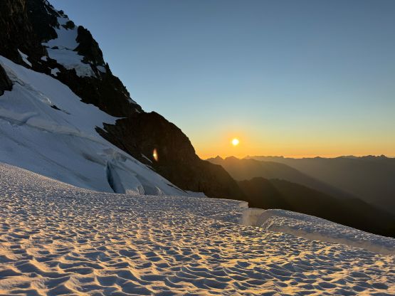
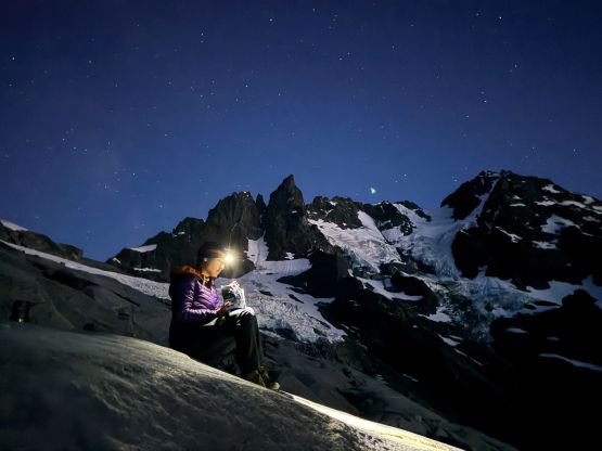
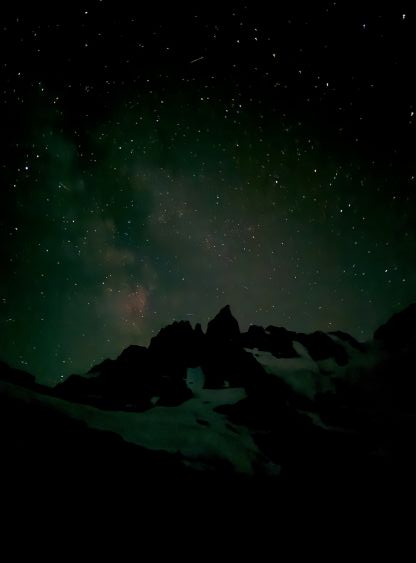
More down-climbing on slabs covered in pebbles we were now directly above the “wet corner” area which was not wet for us. There’s one existing anchor but I suspected it would be too high for the 30-m rappel to reach the bottom of the chockstone chimney. I scrambled down and spent at least 10 minutes trying to find an alternative solution. There’s no anchor and I could not easily build one using the material we had, so that’s it. Erica would rappel using a single strand and that should at least get her down to the snow, and I would put my rock shoes on and down-climb. Fortunately, once Erica’s down she declared that the midpoint was already on the ground so that’s some excellent news for me. I then set up the double-strand rappel for my own and in no time we were down to the transition point. The pulling was uneventful but I did shower myself with some debris. My boots were all covered in choss debris which was basically as expected. We had showered at least a ton of choss down the mountain and some probably would get funneled into the chimney. I was just glad that our stashed gear was still there. The bottom of the chockstones already had a blue webbing and it seemed rather new, so we might as well make an additional rappel down the top of the snow couloir. We were both capable down-soloing 55-degree snow but I was mentally tired and wanted to have a break. The rappel was very awkward but no worse than some of the rappels I did one Lincoln Peak, but the pulling and coiling of the rope was quite difficult while balancing in the middle of the 45-degree slope. Erica did the rappel while holding an ice tool. We then gingerly down-climbed the foreshortened gully mostly following our own steps. It took a long while, but we got our asses down. We then traversed back across the glacier as quickly as we could as I disliked some of the hangfire still high up on the slopes. By the time we got back to the edge of the glacier we took a long break to watch sunset. Part of the reason to haul to 1850-m notch to camp was the views and we got the views here. We then leisurely descended to camp. The dinner had to be cooked with head-lamps on and we stayed up till 11 pm to fully soak in the experience.


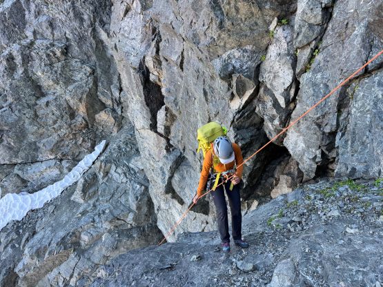
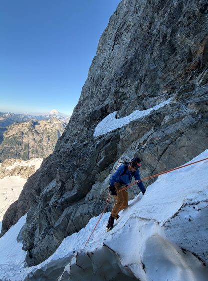

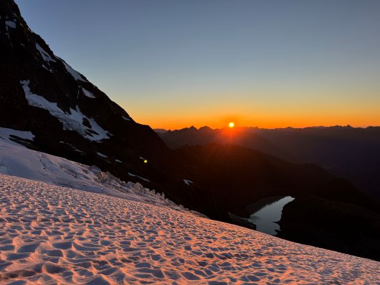
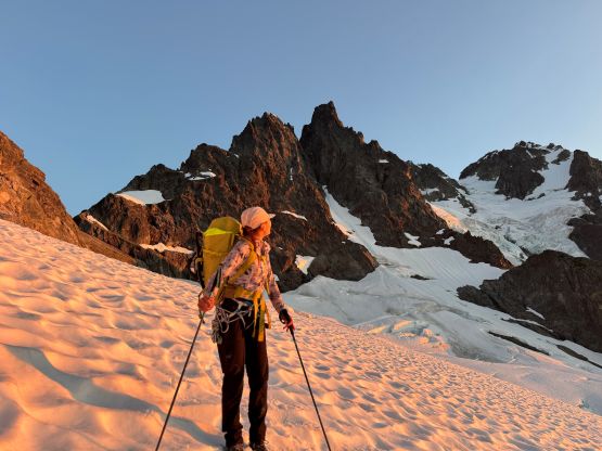
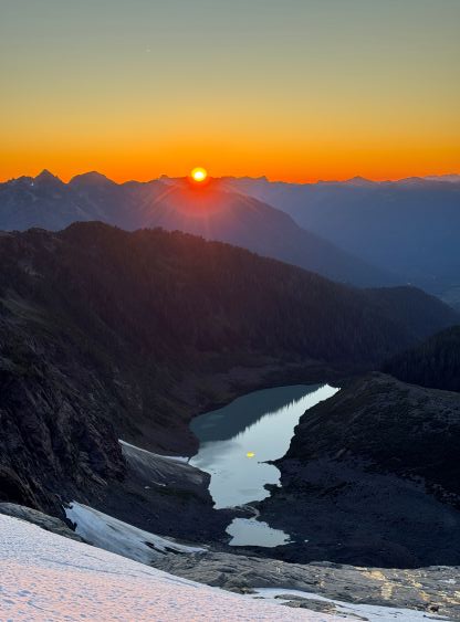
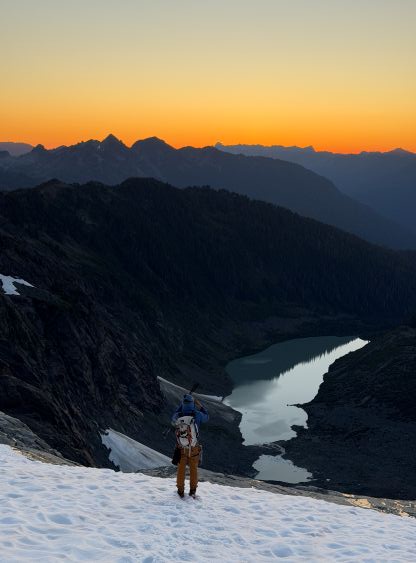


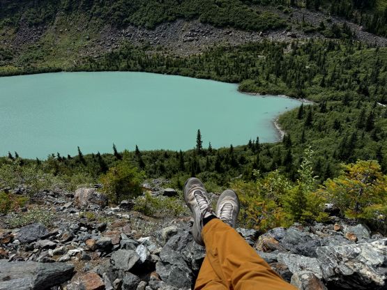
The next morning we got some mosquito bites at dawn but slept in till 10:20 am. I was too mentally drained to get up any earlier. Fortunately we had no commitment in the city on this day so we eventually started the hike-out at noon. Descending that steep heather area with lots of side-hilling was pain in the ass. The solution was to go extremely slow so we wouldn’t slip and injure ourselves. Again, fortunately we were from SWBC so we had lots of experience in this type of terrain. While descending the big moraine we came across quite a few groups of hikers and one of them (Sam from Bellingham) had skied the north face of Mt. Shuksan. We also spent at least half an hour picking the berries. The rest of the descent was uneventful. We did one additional ford to avoid the 270-degree detouring at the trail-head. That creek was even easier than the one with the Tyrolean cable so why not. After having dinner in Abbotsford we eventually got back home at 10 pm, surprisingly not that early. Nooksack Tower surely lived up to its hype as being one of the “Difficult Ten” even if one manages to find the easiest path. The question is whether one can find the easiest path in one go. I think with this trip report coming out the “beta” should be clearer and if I were go do it again I 100% could find the right way, but there’s no way I would do it again even if I’m not a peakbagger at all.