Mount Si
November 8, 2016
1270m
North Bend / I-90 Corridor, WA
With as many as 100,000 upwards ascents each year Mt. Si is by no doubt the most popular peak in the entire Washington state. Its striking nature together with its proximity to Seattle metropolis guarantees an overflown parking lot on any nice day, and many not-so-nice days. There are a few trails heading up Mt. Si and the most popular is the newest constructed one switching back up the forested southern flanks, with a total elevation gain just under 1000 m. To reach the true summit is a different game and requires class-3 scrambling on steep terrain, but when dry it shouldn’t impose too much of a problem to a seasoned scrambler like myself.
Given its popularity I’ve heard lots and lots of stories on Facebook so needless to say, I’d been eyeing on this objective for quite a while. I wanted to tag it in the off-season to avoid the crowds but on the other hand I also wanted dry conditions for the final 3rd class section, if possible. This forecast for this past Tuesday made me decide to drive southwards even though I had to be back home before 3 pm for work. To get it realized I just had to knock off the drive on Monday overnight and then start way before dawn. Given the fact I couldn’t leave home until 11 pm this was going to be an exhausting game, but given the guaranteed sunshine there’s no way I could stay home again, so down south I went… The border crossing was trouble-free and then it’s a cruise sailing on I-5, I-405 and then I-90. I made a short detour to the Chevron in North Bend for a parking pass before proceeding to the trail-head.

Mt. Si ascent route. GPX DL
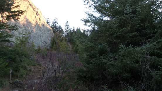
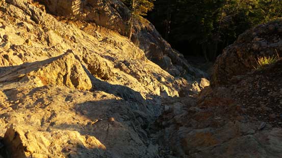
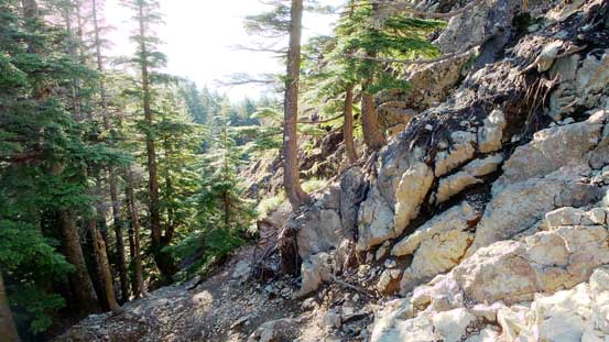
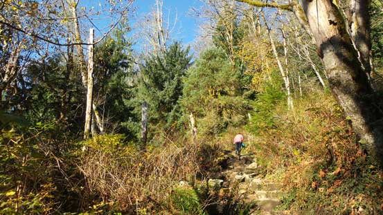
After catching up less than 3 hours of sleep I had to get up again, had two pieces of 1-dollar bread as breakfast and then up I went. I made a mistake forgetting to bring my sneakers for this trip and as a result I had to hike the entire way in my rigid mountaineering boots. That wouldn’t be very pleasant but it’s too late now. There’s little to describe about the plod fest except for the trail was actually not as steep as I was expecting. I thought it’d be similar to Grouse Grind but apparently it’s much better engineered with very minimal rocks and steeps. The grade felt more like Garibaldi Lake’s approach through out. About halfway up there’s one flat bench and then it steepened again. At about 3/4 of the way up it’s getting brighter enough to not require head-lamps anymore. The views were very limited though until pretty much the end of the official trail. I made there just in time for some neat morning colours.
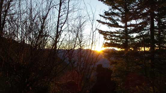
Sunrise through the thinning forest

Making to the treeline
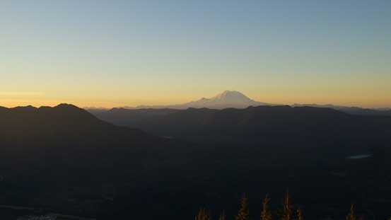
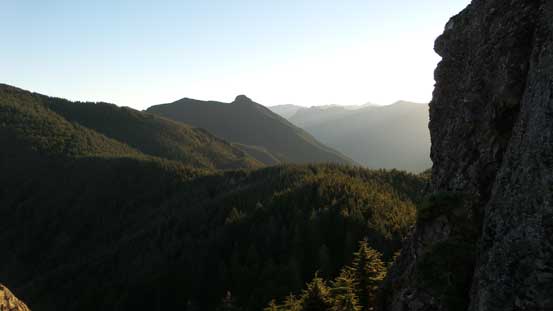
Morning colours with Mt. Rainier on the horizon

A zoomed-in view of Mt. Rainier

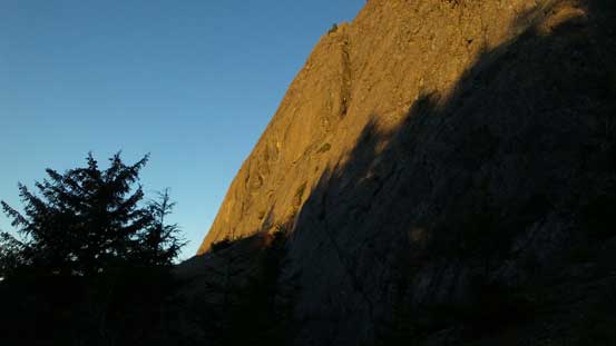
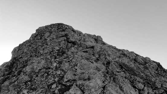
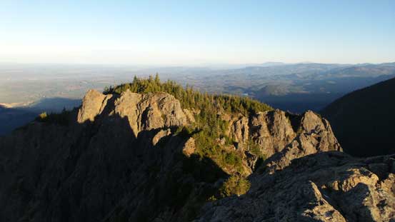
The summit block – the Haystack
Looking sideways across the steep west side
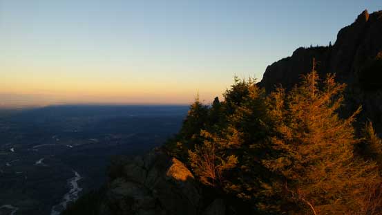
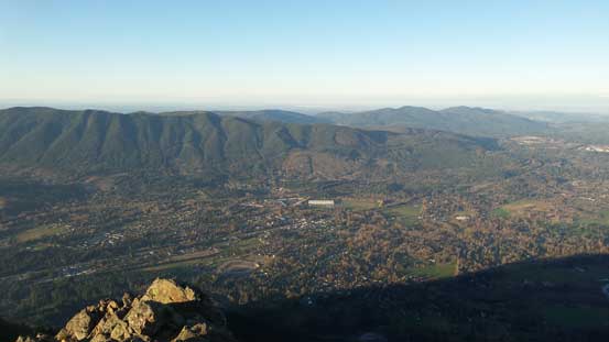
Another picture of the morning colours over Snoqualmie River Valley
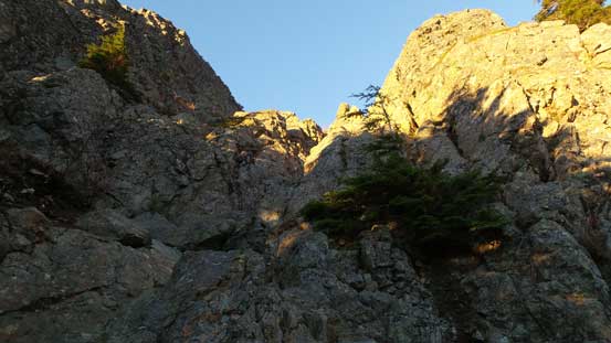
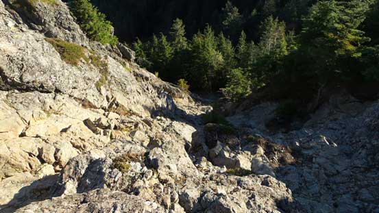
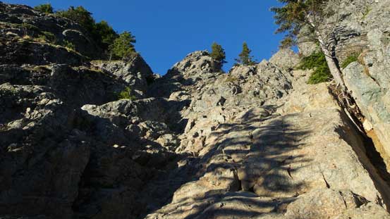
The summit block, also known as the “Haystack” loomed impressively in front of me and I wasted no time but going for it. On the way towards its base I stayed more or less on the ridge crest overcoming some boulder fields but there’s actually a good climber’s trail down on the right side (which I discovered on the return). Once at the base I traversed to its right and joined the trail. It led me diagonally traversing around a wooded bench to the base of that class-3 gully. The gully was a bit longer than I thought but quite straightforward as of the 3rd class rating. For more fun I opted for a harder step about midway up stemming up a small chimney feature. Once topping out there’s still one short stretch of scrambling to reach the true summit, easy technically but a bit exposed.

Going for the base of the Haystack
Traversing this treed bench
Looking sideways across the Haystack. It’s steep…
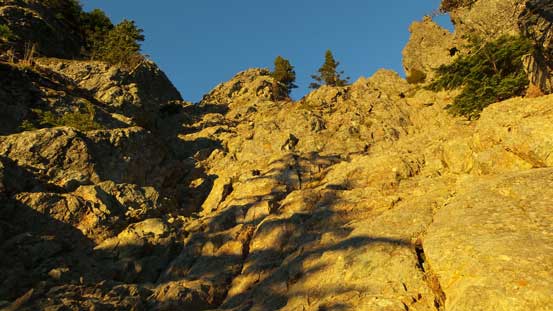
Going up the 3rd class gully

Looking back towards an unnamed forested peak and then Mt. Teneriffe
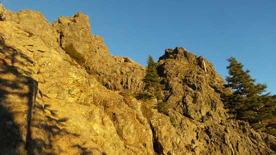
There are some jagged spires on the Haystack. Thankfully those aren’t the true summit…
Looking down from about 2/3 of the way up this gully
Almost there!
The final bit of scrambling to the true summit
Another picture looking towards Mt. Teneriffe
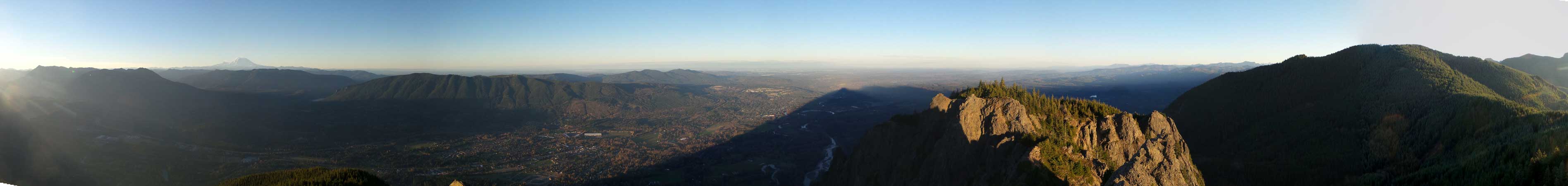
Summit Panorama from Mt. Si. Click to view large size.
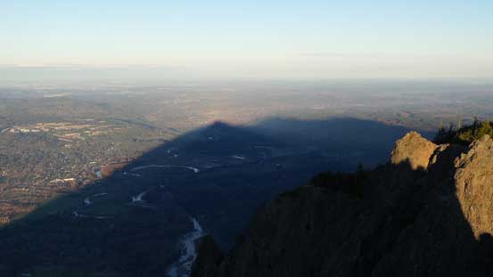
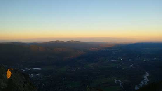
The shadow of Mt. Si casting on Snoqualmie River Valley
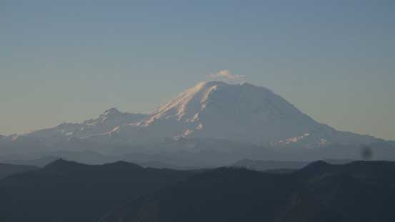
Mt. Rainier
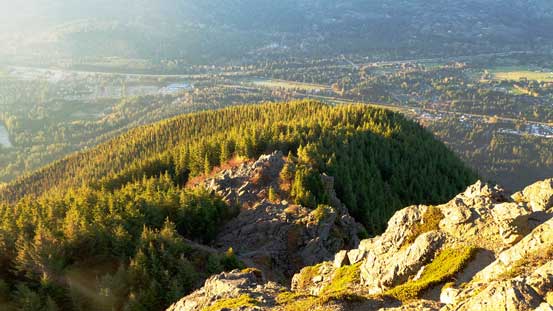
Looking down at the broad forested south rib where the trail ascends from
In the foreground is a lower sub-summit
The town of North Bend with Rattlesnakes behind
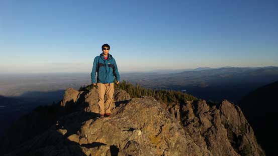
Me on the summit of Mt. Si
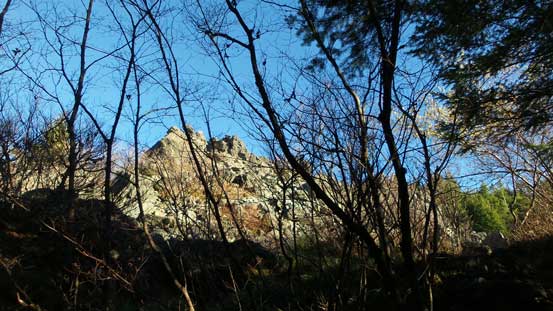
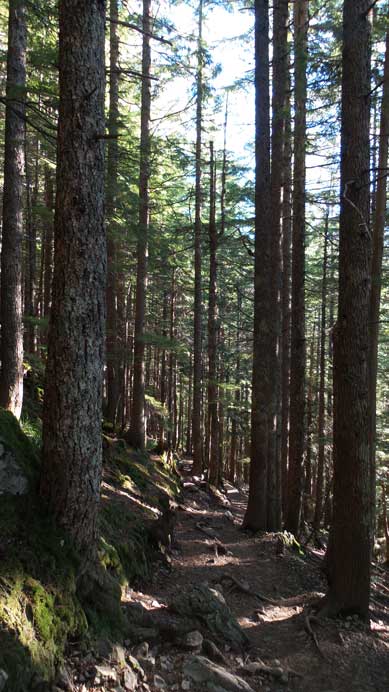
I stayed on the summit for more than half an hour but the views weren’t going to change by much so eventually I repacked and headed down. Descending the 3rd class gully was fun and I managed to “side-step” most of the way down with only a few moves requiring down-climbing. Down the treed bench I went up to the “false summit” again for a few more pictures before dropping down into the forest. The rest of the hike was monotonous and foot-numbing (I was wearing the mountaineering boots)… The only upside was that I didn’t have to say hi to that many people… I was expecting more than 100 guys going up but in the end met only around 5-10 hordes.
Going down the 3rd class gully
Down the gully, looking back..
This is that treed bench to traverse beneath the Haystack

Another view from the “false summit” lookout

Looking back at the Haystack

A zoomed-in view towards downtown Seattle
Time to head back into the forest..
This sums it up..
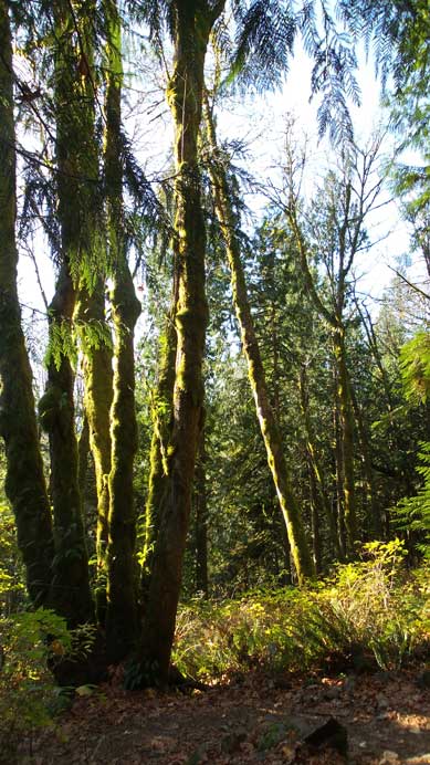
The typical coastal vegetation
Almost done.
Back to the parking lot I still had plenty of time to kill. The weather was still holding nicely so I decided to take a short side-trip to Luther Burbank Park by Lake Washington. I had previously been there in this past June and I knew it’s a good place to relax after a trip. The views did not disappoint as expected.

Me relaxing in Luther Burbank Park on Mercer Island
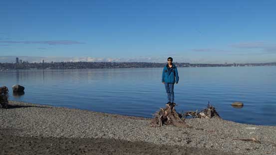
Another picture from Luther Burbank Park on the shore of Lake Washington
Eventually by around 11:40 am it’s eventually the time to go home. The traffics were only a little bit heavy and once through Everett the rest was a cruise sailing. I made a stop at the Olive Garden in Mt. Vernon for a well-served lunch (for about 25 US dollars in total) before resuming the drive northwards, and I did make back in time.
