Swansea Mountain
June 15, 2013
1735m
Invermere, BC
June is usually the rainiest month but this year, it seems like I’ve been pretty lucky with all my ascents in this month. With a better weather forecast further west, Ben, Eric and I decided to give Invermere area a visit. I’d been looking at the mountains in this area for a long time and finally got a chance to go bag some. Ben just bought a new SUV and that would come very handy when planning trips in BC. The trip was a bit too short noticed and I didn’t get a chance to plan objectives, but I did remember quite a few from the other websites.
A small summit called Swansea Mountain was the first jumping into my mind. It’s on the Rockies side and would offer great morning views towards the Purcells. It has a good trail leading up and would be easy to navigate in dark. It’s also right beside the highway so we wouldn’t need to negotiate forestry service roads in dark. But Invermere is such a long drive from Edmonton, and it was already almost 2 am when we arrived at trail-head. With just a bit of sleep, three of us woke up at 3:30 am, and quickly got ready for this ascent.
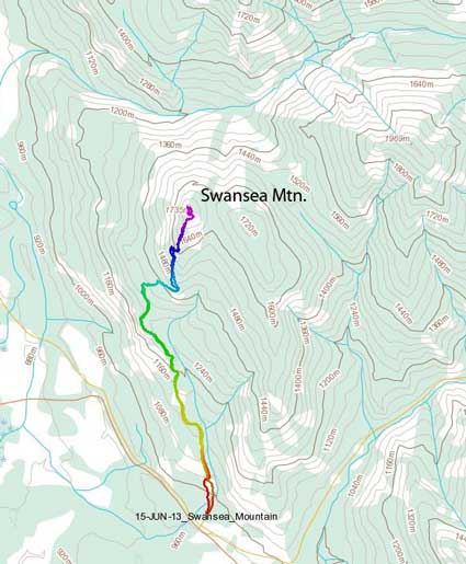
Swansea Mountain hiking route. GPX DL
I had a faint memory that we would be following a road up, but by following the description in the guidebook Hikes around Invermere and Columbia Valley, we were essentially following a trail. The trail goes up on the left side of this mountain which offers much better views. At one point I was concerning that it was leading to wrong direction since we were aiming at a low lookout, but after going over this bump we picked up the trail again and followed it steeply up the mountain. Despite the rounded looking, this mountain has elevation gain of more than 700 meters. It took us 1.5 hours to get up this partially treed summit.
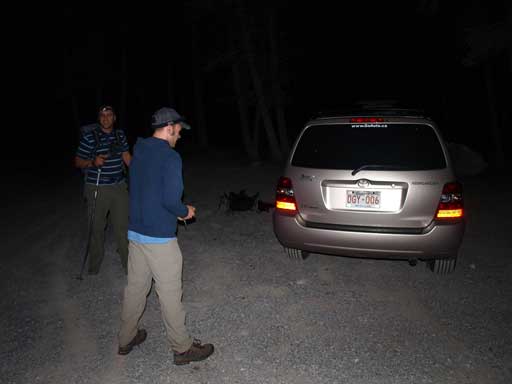
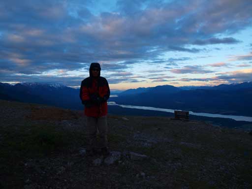
Doing an alpine start for such a “mountain”
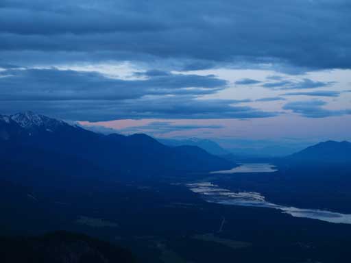
It was just bright enough when we arrived at the top
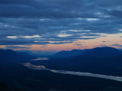
Looking south towards Lake Windermere and Columbia Lake. One of my favourite shots from this trip.
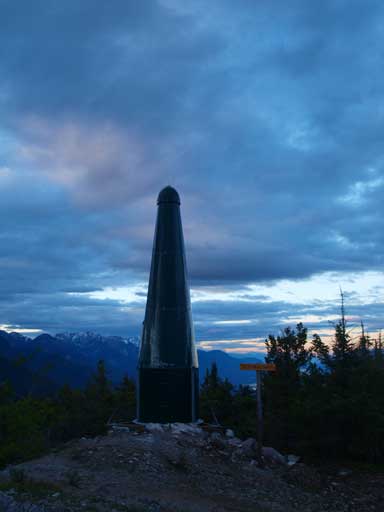
The green tower on the summit
Another view looking south
Can barely see the tops of Purcell Mountains.
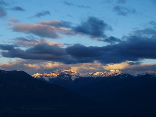
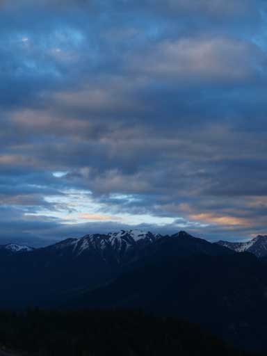
The big one, Mount Nelson
Me on the summit
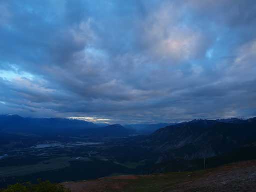
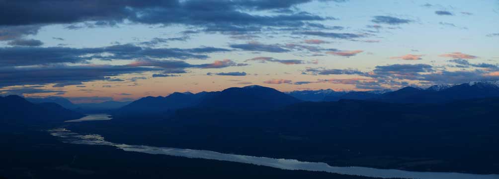
Looking north up the Columbia Valley

Indian Head Mountain (Chisel Peak) is a difficult scramble
Mount Aeneas is another scramble
Pinto Mountain is another easy summit
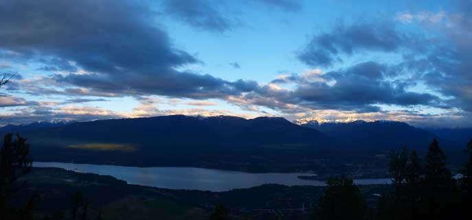
Another panorama of Lake Windermere. Town of Invermere on bottom right.
Eventually after watching the changes in sky colours we hiked down. There’s nothing to describe about the descent except for it’s feeling a bit tedious and tiring.. I felt very sleepy already…
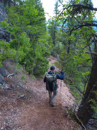
Typical terrain on this hike
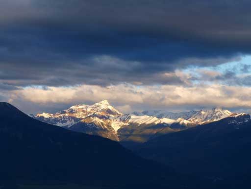
Mount Nelson
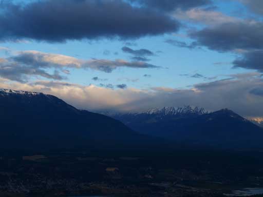
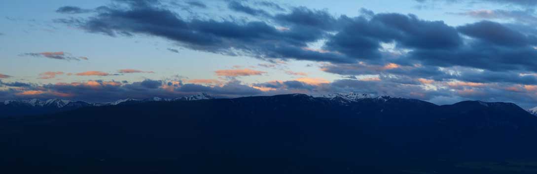
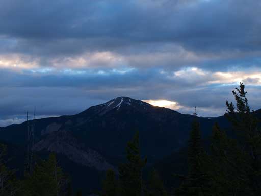
Peaks north of Horsechief Creek were still in the clouds.

Another panorama of Columbia Valley and Invermere area
It was still too early and everything was still closed in Invermere, but we were lucky to find a bakery for some breakfast. And then it was the time to plan our next objective. With more patches of blue sky towards west, we opted for Mount Brewer since it’s higher than the more popular Mount Goldie.
