Dufferin Hill (Mount Dufferin)
August 16, 2015
878m
Kamloops, BC
There’s some confusion about the name of this little “peak” by Kamloops. Most of the resources I found was calling it “Mt. Dufferin” but the official name is Dufferin Hill. In my opinion the name of Dufferin Hill makes more sense as this is barely even a “hill” anyway. With only 120 meters of elevation gain on an ATV road there’s really nothing exciting about it. But, it does offer a good panorama view of the city of Kamloops where the North and South Thompson Rivers join. I’ve been to Kamloops many times and I always wanted to have a good view of it, so did some quick Google search and a quick ascent of Dufferin Hill was in the offer.
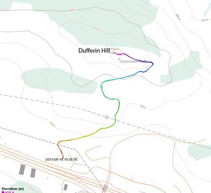
Mt. Dufferin (Dufferin Hill) hiking route. GPX DL
Earlier in the day I drove from Edmonton across the Rockies and Columbia Mountains and all the way to Kamloops, en route bagged another small peak called Mt. Armour. I exited the Trans-Canada Highway at Exit 366 and the trail-head was pretty much “right there”. The ascent was nothing more than following the most obvious “Tower Trail” up, and in less than 20 minutes I arrived at the top. I indeed had a good view of Kamloops but the view towards other directions was obscured by the huge man-made structure on the summit…
Following the obvious Tower Trail up
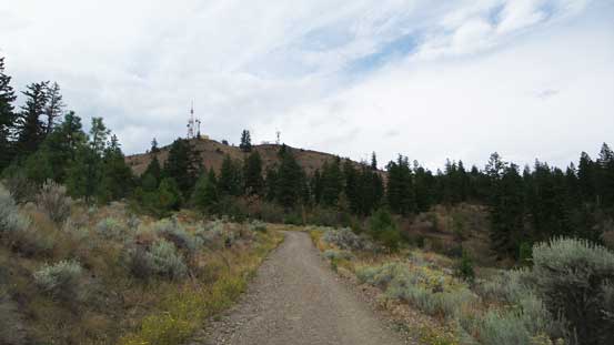
The summit ahead with the obvious Tower
More about this road
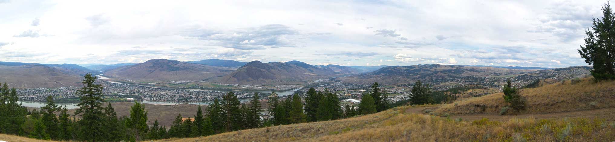
Panorama from near the summit. Click to view large size.
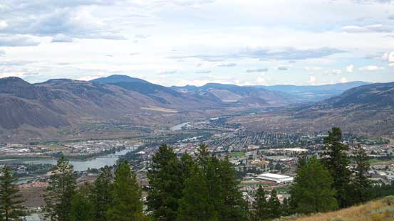
The city of Kamloops
Paul and Peter Peaks right of center
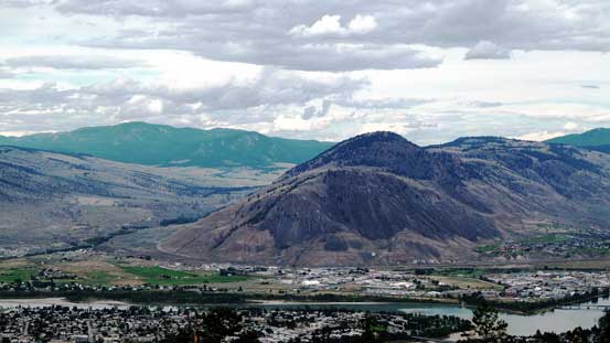
This is Dome Hill

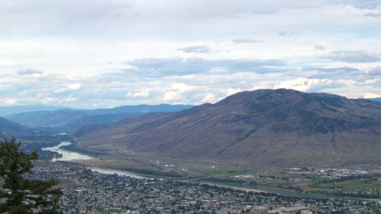
Looking north along the North Thompson Corridor
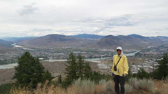
Me near the summit of Dufferin Hill
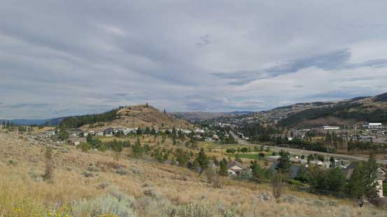
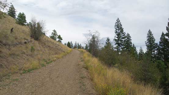
A view from the descent…
The descent was quick and in short time I was on the final 1/3 of this journey.. Driving from Kamloops to Vancouver along Coquihalla Highway was fast and furious but the traffic was terrible once entering the lower mainland.. Oh well.. I guess that’s something I had to get used to in the next short while… The next morning I flew back to Edmonton and got some birdeye view of the Coast Mountains from the plane with perfect weather. I could make out Tantalus, Garibaldi and a few others that’ll probably be my playground in the near future.
