Seed Peak
September 4, 2016
2010m
Squamish / Mamquam Main FSR, BC
“Seed Peak” is an unofficial name of a highpoint along the ridge nearby Pinecone Lake north-west of the higher Mt. Gillespie. The access is by the Mamquam Main FSR (requires about 23 km of driving on a bumpy logging roads) and a fairly well-defined trail leads scramblers from valley bottom to the alpine. It’s often done together with Mt. Gillespie and the adventurous folks might can add Pinecone Peak to the loop too, but given the not-so-good weather I did not want to be adventurous on this day. After an ascent of Mt. Gillespie I quickly made my way down to the Gillespie/Seed saddle, and from there my plan was to traverse the connecting ridge with two minor bumps.
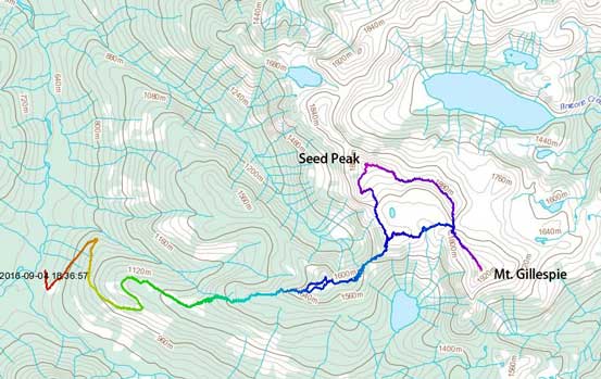
Mt. Gillespie and Seed Peak scramble route. GPX DL
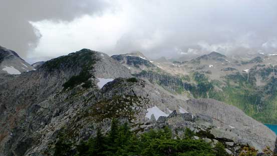
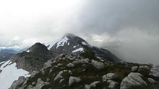
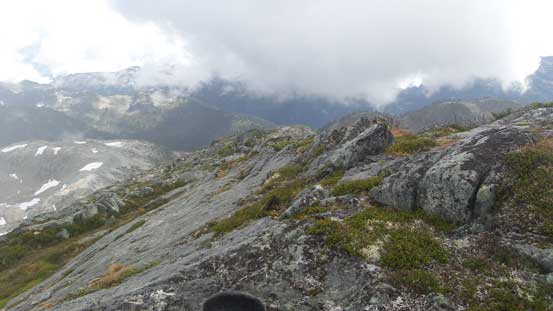
The initial rise out of the saddle was kinda steep at places. The rocks were wet thank to the rain but still, I could stay mostly on the direct ridgeline with some “moderate scrambling” here and there. Soon enough the terrain levelled out and some open ridges brought me to the first bump. The ridge traverse towards the second bump was a bit undulating with minor up-and-downs, but straightforward generally speaking. The view of Pinecone Lake gradually improved through this stage and so did the weather.
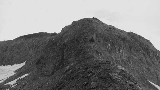
The connecting ridge from Gillespie/Seed saddle
Looking back towards Mt. Gillespie
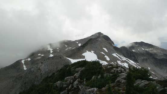
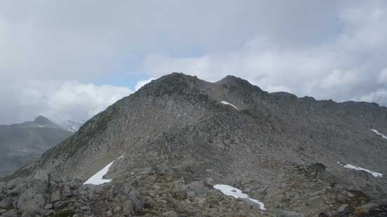
A view towards the summit of Seed Peak
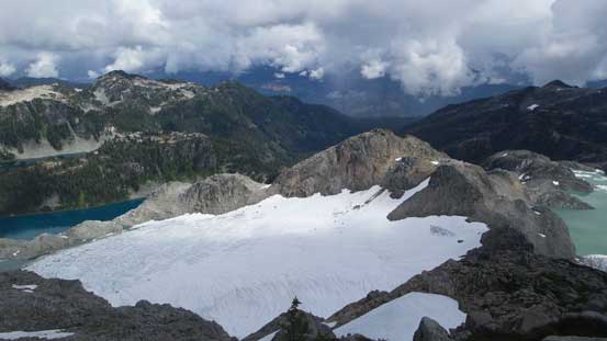
Looking down at the glaciers and lakes on the east side of the divide

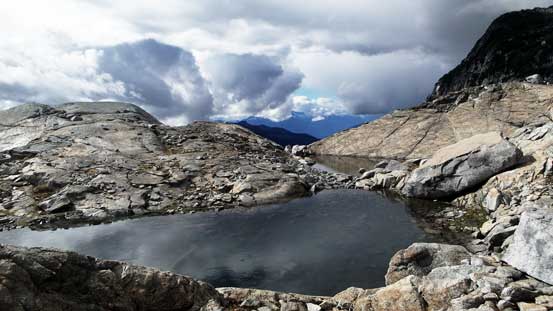
A zoomed-in view of a glacial tarn

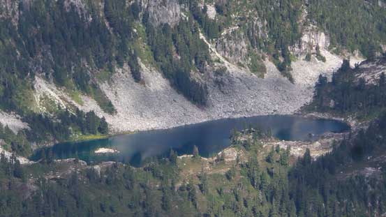
Pinecone Lake
From the first bump, looking ahead
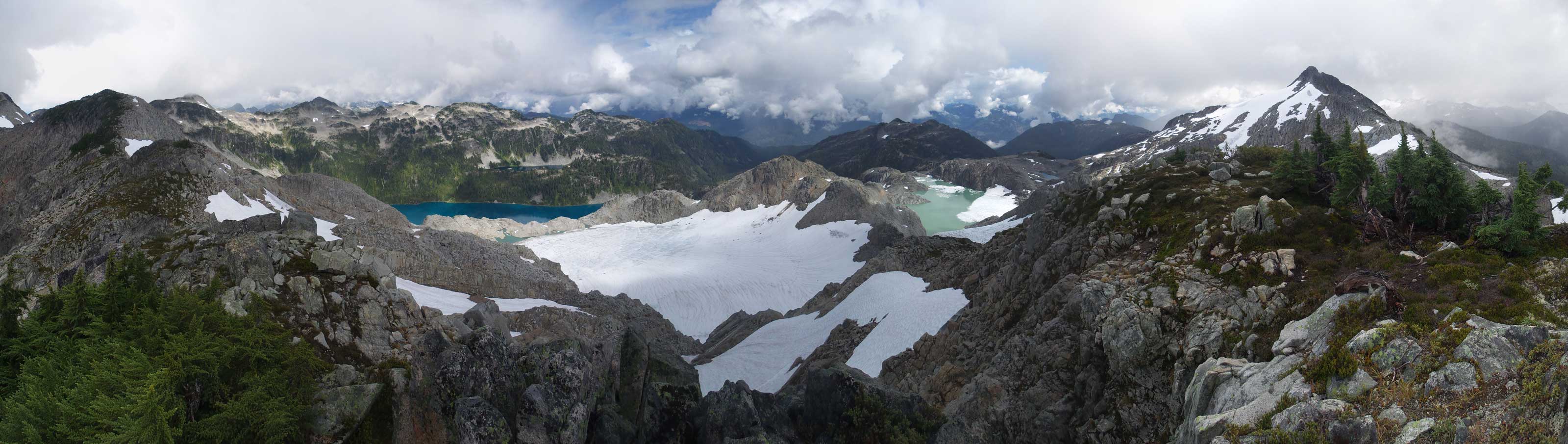
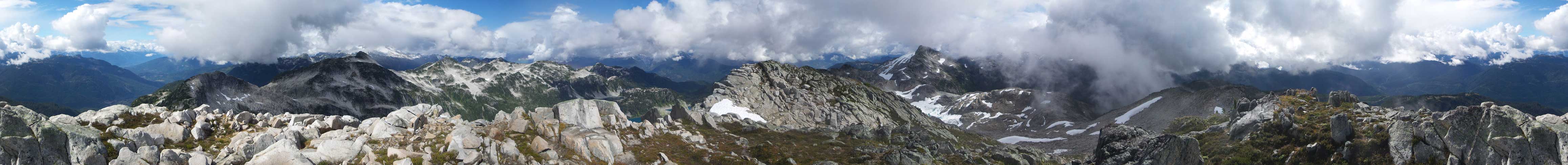
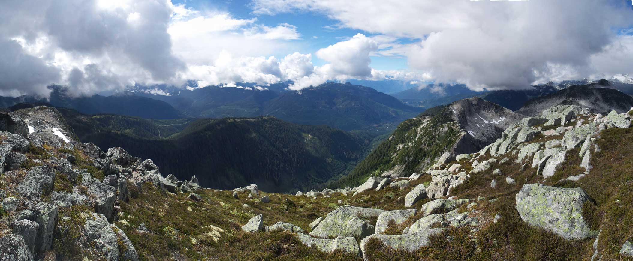
Panorama from the first bump. Click to view large size.

This is looking down at the patchy glacier on the west side. I came from bottom left
Ahead is the second bump
Looking back towards Mt. Gillespie

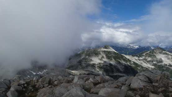
Not the greatest weather…
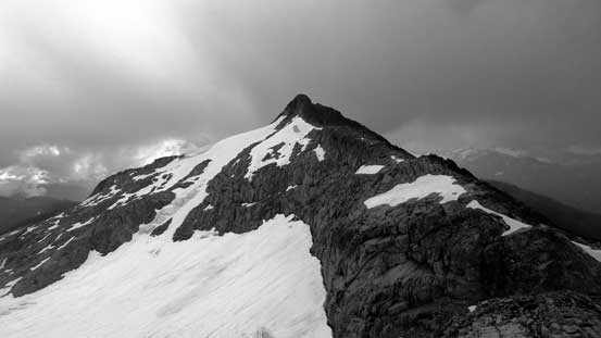
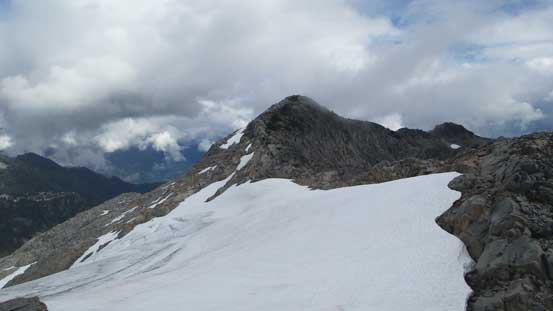
From the second bump, looking towards Seed Peak
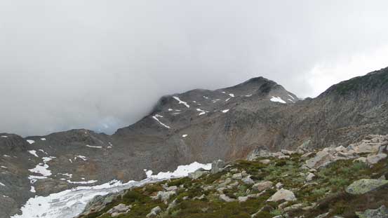
Descending from the second bump I dropped onto a minor snow field and that helped me getting down to the bump/Seed saddle. Now came the final plod up towards the summit of Seed Peak – mostly just a plod up an easy, albeit foreshortened and monotonous slope. There was a big cairn on the summit as well as a register placed by North Shore Hikers more than 10 years ago. I signed the register and now I had to make a decision. The ridge connecting to Pinecone Peak looked “doable” but would involve some significant elevation loss/regain as well as what appeared like maybe Class 3 scrambling in one narrow spot. It was a hard call but given the time of the day and the weather I opted for the lazier option. The sunshine felt nice and I took a long break on the summit before eventually another storm came in forcing me to get off quickly. The rain came in literally just a few seconds…
Looking back at the second bump
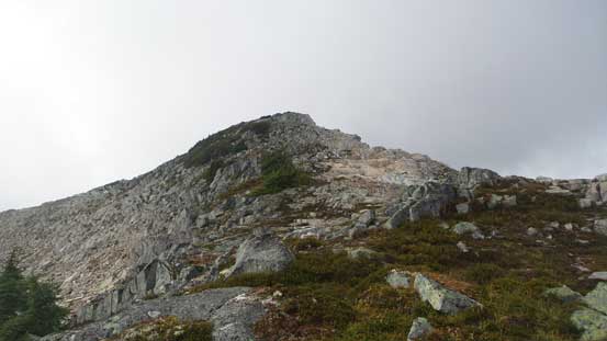
The final plod up to Seed Peak
Summit Panorama from Seed Peak. Click to view large size.
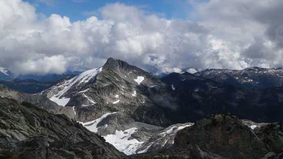
Pinecone Peak right of center – looking pretty far away…

Mt. Gillespie and where I just came from
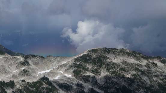
A neat rainbow in the distance

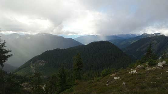
This is the valley I drove up. Mamquam FSR way down below

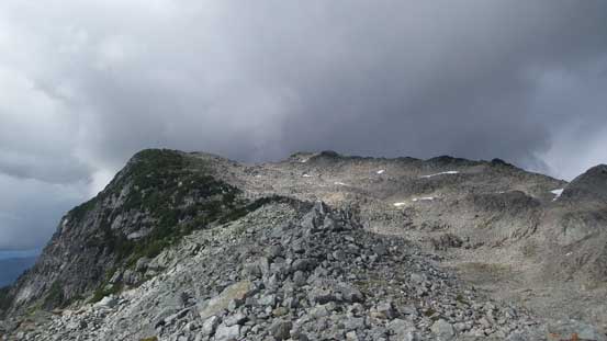
The connecting ridge towards Pinecone Peak. The bottom part looks a bit interesting..
This peak doesn’t have a name
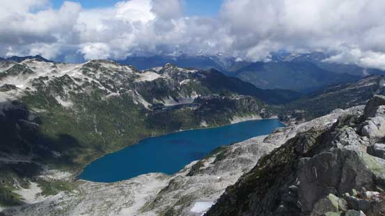
The very beautiful Pinecone Lake
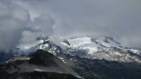
Mamquam Mountain and its glaciers
Mt. Gillespie
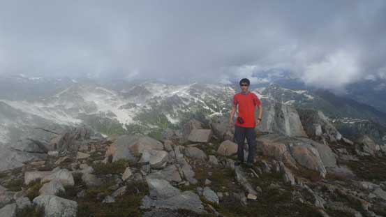
Me on the summit of Seed Peak

Another picture of me on the summit

The register was placed by NSH 10 years ago
Another panorama from the summit. Click to view large size.

One more panorama. Click to view large size.
Following the recent trip report on ClubTread I descended the south ridge and about halfway down I spotted a neat snowline and bailed onto the south slopes. The snow helped greatly on speeding the process as I could just plunge down rather than going step-by-step. It was also significantly easier on my knees. But the fun stuffs were short-lived as I was back to the rubble game in no time. Down to the low point on Seed Peak’s south slopes I slogged back up to rejoin my ascent route at that unnamed tarn. It’s time for another break.
Time to leave the summit behind
Descending in another period of drizzle

The rain passed quickly, now the sky was clearing up
Looking back at the south slopes I just descended
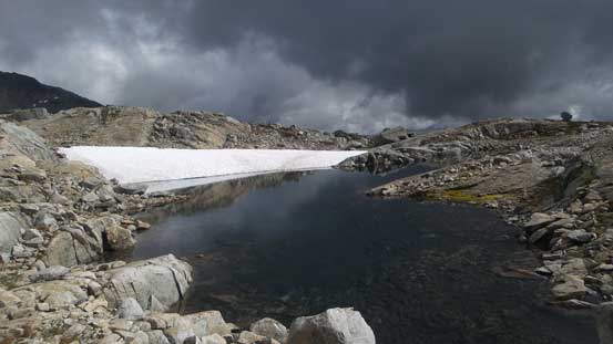
Down to that unnamed tarn now
The same tarn
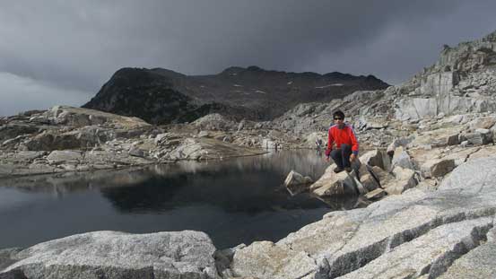
Me posing at the tarn. Note the weather – another set of clouds were moving in rapidly…
Eventually I felt like having enough rest already so down the trail I went. The uphill slog back to that “first highpoint” wasn’t inspiring but at least this time I managed to stay on the trail. That section felt shorter than it appeared from afar and I made good in time. Down the other side of the first highpoint I somehow lost the trail but regained it quickly. For the rest of the descent I did manage to stay entirely on trail, until the last cutblock where I entered that secondary growth mess. It seemed like there wasn’t an easy way and no matter what route I took I’d have to deal with at least 15 minutes of bushwhacking. The upside was that the bush wasn’t nearly as wet as in the morning but since I was too lazy to switch to my rain pants I still got soaked thoroughly through… For the last 4 km plod down the E 100 spur road I picked up my ditched sneakers and changed my footwear. That surely felt NICE!

Looking back at Seed Peak from partway up the uphill plod
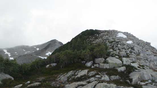
View from the highpoint along the approach ridge

This spot was aided by a batman rope
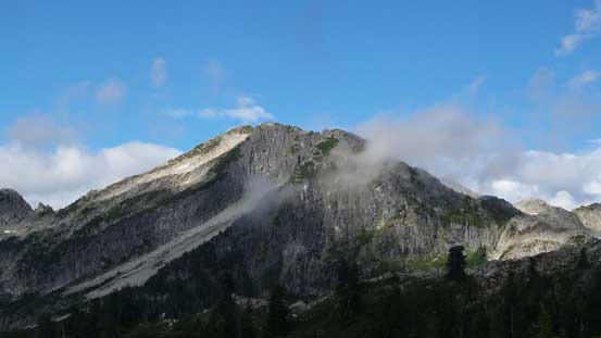
Seed Peak
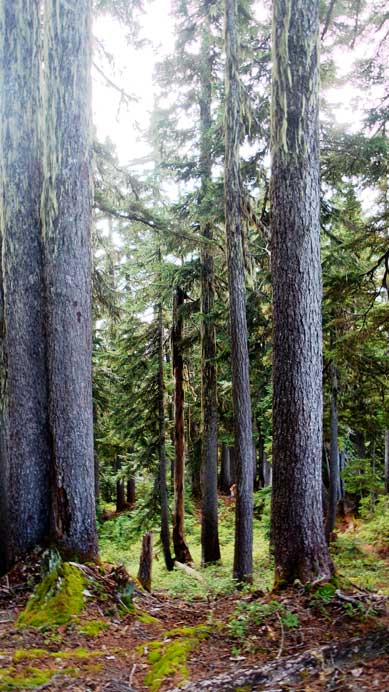
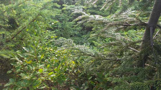
The typical forest
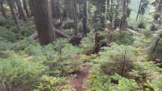
Staying on trail!
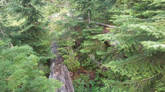
Eventually I had to deal with bush. I found staying on the logs made things easier
As usual for a trip in the west coast…
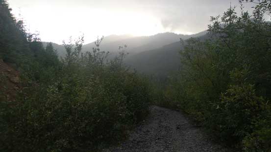
Back to the final road slog.
Back to the Jeep my round trip time was about 11 hours on a non-rushing pace. Judging by the time I probably could have tagged Pinecone Peak had I started 2 hours earlier in the dark, but this is a beautiful area that I don’t mind coming back. And given the questionable weather forecast I’m definitely happy about the views I got.
