Mount Klaudt
May 27, 2020
1402m
Hemlock Valley / Harrison West, BC
Mt. Klaudt is the least interesting among the few bumps in the immediate vicinity of Hemlock Valley as it appears broad and wooded. There are some logging roads running on the lower NW flanks from the ski resort but there’s no trail going anywhere further towards the summit. The old logging roads are also seriously bushy and overgrown, that one needs a healthy snowpack to tackle this hike. The only route that “makes sense” is the NW ridge and further research showed that I should combine Mt. Klaudt with the nearby unofficially named “Cartmell Peak” into one trip. Earlier in this day I had ascended “Cartmell Peak” and got some fabulous views.
Cartmell Peak and Mt. Klaudt ascents from Hemlock Valley. GPX DL
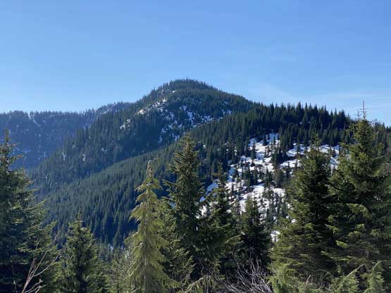
I used a series of connector roads to link up Cartmell Peak’s south ridge to the NW Ridge of Mt. Klaudt. The main branches were in decent shape for walking but once turning onto the spur road I immediately realized I was in for some alder fest. Thankfully there was still at least half a meter snowpack at the elevation of 1150 m so the bushwhacking was minimal. There were a few dry and overgrown sections that I simply bypassed by detouring around. I generally managed to stay on the spur road but left the road before the final switchback as I figured there was no further point with the bushy status and the increasingly thick snowpack. The aim towards the NW Ridge involved more bushwhacking with some route-finding that forced me to check GPS many times. I wasn’t expecting much in terms of views but there were two steep spots on the ridge that offered unobstructed views towards the northern half of Harrison Lake. The second steep step required a little bit of snow-climbing technique but I’m sure one can easily bypass it if one doesn’t dare to stay exactly on the ridge.
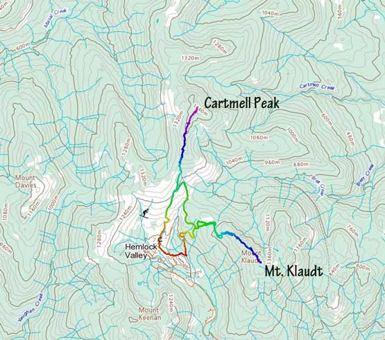
The NW Ridge of Mt. Klaudt ahead
On one of those connector roads looking back at Cartmell/Klaudt col

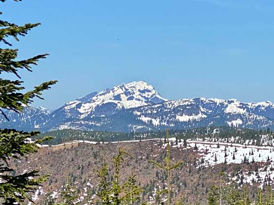
A view of Mt. Keenan across Hemlock Valley resort
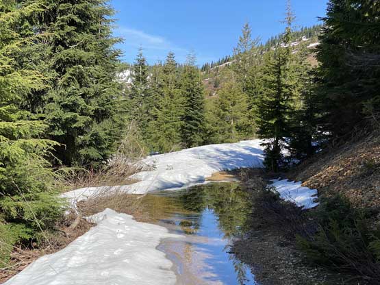
A sign of spring’s here…

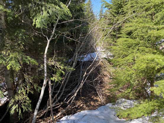
Mt. Klaudt has some unavoidable bushwhacking

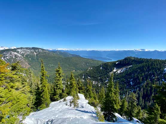
Gaining the NW ridge now the views opened up
A closer look at Mt. Robie Reid

Mt. Ratney pokes behind the resort area

Mt. Judge Howay with Mt. Kranrod on the far left

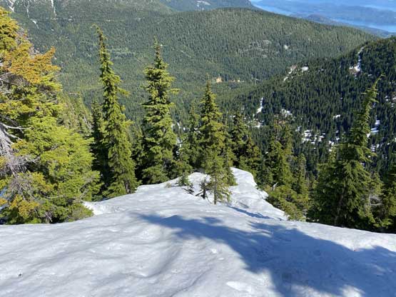
Old growth forest between the first step and the second step
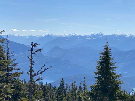
Mt. Urquhart on the skyline behind Harrison Lake
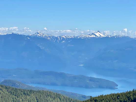
A wider view from the second steep step towards Harrison Lake

The Old Settler
A wide angle shot from the second steep step

A zoomed-in view of Mt. Breakenridge
Beyond the second step I was on a plateau feature with some up-and-downs and more route-finding. There were at least two sections of elevation drop but then I was getting close to the summit. I attacked the summit from climber’s right side and was surprised to find more views from the summit. It wasn’t as open as on “Cartmell Peak” but still better than no views. I even found a dry spot to sit down and have lunch.
This is towards Hope area. In the foreground is “Sasquatch Peak”

The north faces of Cheam Range peaks
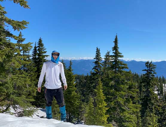
Me on the summit of Mt. Klaudt
The ascent of Mt. Klaudt had taken longer than expected, that I should hurry up if I didn’t want to be late for work. For the most parts on the ridge I just retraced my own footprints on snow and lower down I took a bit of variation but still faced some bushwhacking. I took an old road down which dumped me about 1 km from the resort that I had to hike back up to grab my vehicle.
Descending the NW ridge of Mt. Klaudt

The south slopes of “Cartmell Peak”
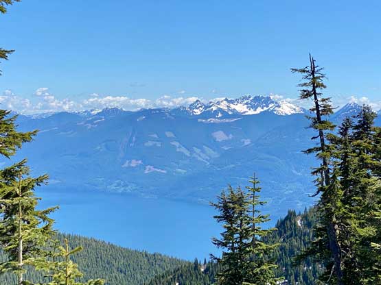
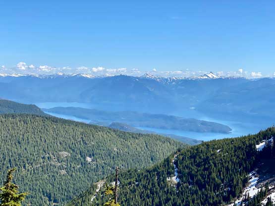
The Old Settler and Harrison Lake
As you can see, the old roads here are overgrown
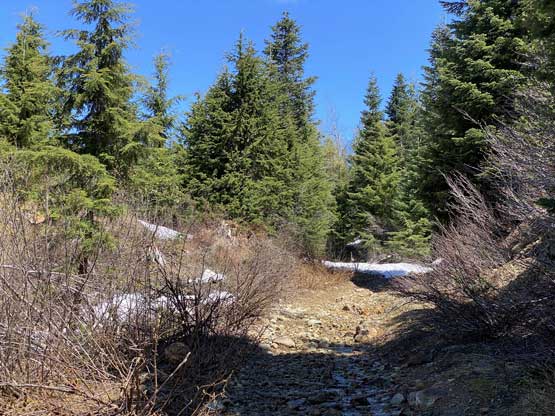
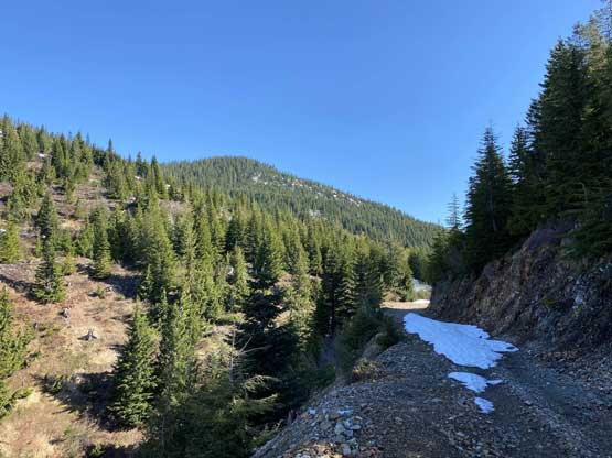
The lower road was in a good shape for walking
The round trip time was just over 5 hours for both summits on a leisure pace. I turned on the engine and cruised back home. After the obligatory food and shower I only had about half an hour before work, which was not quite enough to take a nap. As a result the afternoon/evening work to 9:30 pm turned out to be an exhausting and miserable show but I did mange to pull it off and that’s it for the day.
