“Devil’s Peak” [Mt. Seymour, BC]
February 25, 2017
625m
North Shore Mountains, BC
“Devil’s Peak” is nothing fancier than a forested pimple on the lower southwest flanks of Mt. Seymour massif and in fact, the existence of this name is rarely aware. I’m sure most of you have seen it somehow somewhere but few actually gives a second thought as it’s simply too insignificant to bother. It does boast a steep west side cliff dropping into Seymour River valley and that’s pretty much the only feature that makes it distinguishable as the prominence is only 27 m and the peak is entirely forested. The name was firstly seen in a pdf report by a Metro Vancouver land reserve management team (2002) and since then it has been used a few times on the Internet.
Given such description it’s clear that I wasn’t intentionally searching for this objective. I came across a trip report on ClubTread while searching for another peak with a very similar name. I clicked into this “wrong trip report” by accident but skimmed through nonetheless. My curiosity was intrigued so I went onto bivouac.com and dug a little bit more. There’re two ways to access this peak – the most direct is a forested traverse from the first clockwise switchback on the lower Mt. Seymour road while a longer, but more scenic option is by dropping 400 vertical meters from Dog Mountain. Both routes involve substantial travel in bush and that explains why it’s seldom done.
Doing this as before-work hike I picked the former as it’d allow me to catch a few more hours of sleep. The spontaneous decision was then made in the morning of this past Saturday. The forecast was calling for “increasingly cloudiness” but what I could see was nothing but just sunshine. Leaving home before 8 am I made quick work to North Vancouver. The parking lot at the switchback was somewhat “hidden” and the last icy incline was a bit treacherous to negotiate in my 2WD Sentra without winter tires, but I made there nonetheless.
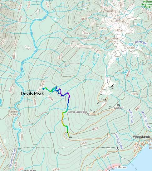
Devil’s Peak hiking route. GPX DL
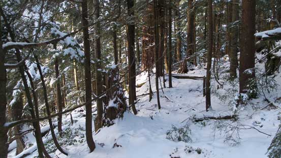
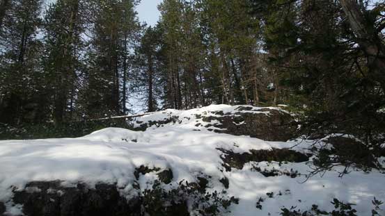
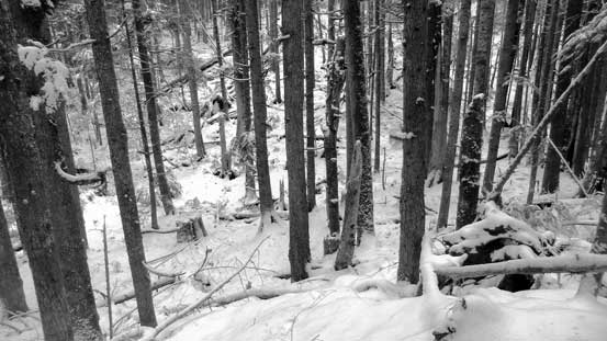
At this elevation there’s no need to use snowshoes so that extra weight stayed in my car. Due northwards I passed a gate, followed the cutline with brief bushwhacking before crossing the highway and picking up an old logging road on the north side. Following this old road (also a bike trail) for a short while I took the left turn upon reaching a sign of “Cabin Trail”. This is also the “T.N.T trail” indicated in some other sources but whatever. To my surprise this trail seemed to be very well constructed and there were wooden boards on most, if not all boggy sections. It kept doing downhill though so after a while I ditched the trail and entered the bush. From here I just had to maintain a diagonal traversing mode with some slight uphill travel and that eventually would bring me to Boulder Creek. Along the way there’s lots of minor creek crossings and I could pick up some old remnant trail/roads here and there but nothing really continuous. There’s minimal bushwhacking required as the lower Seymour is an old growth forest.

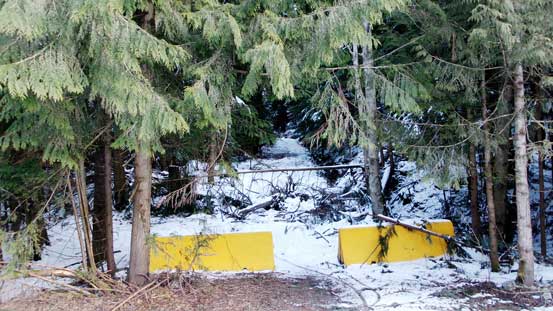
Crossing the highway at the beginning
The start of the old logging road
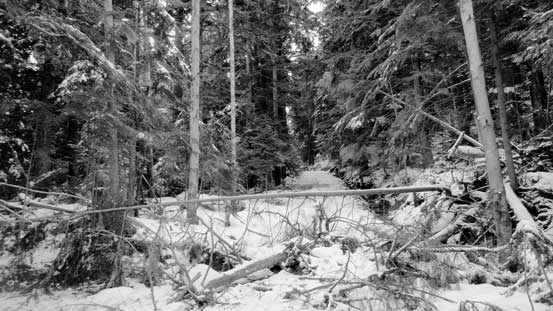
Another picture of the start of this old road
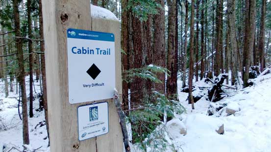
Arriving at Cabin Trail junction

Looking back from the junction
Like I said, this trail was in a good shape..

One of the many minor creek crossings
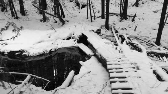
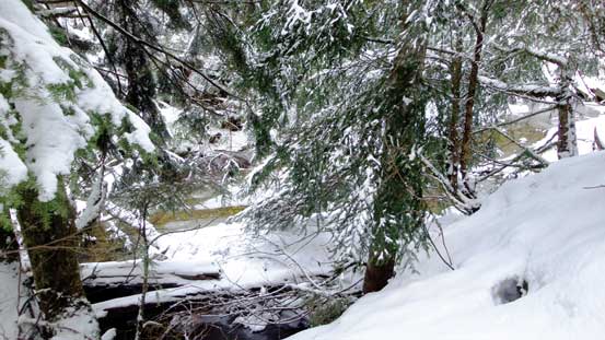
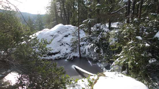
Boulder Creek is the biggest one en route but even that, the water level was really low. I could just hop across using rocks but the terrain was like a minor gorge so crossing required some elevation loss and regain down/up the banks. Once on the north side of Boulder Creek I turned my bearing due west and it’s here that started to get confusing. The micro-terrain bumps, ridges and creeks were very disorienting and I had to check my GPS unit constantly. I still ended up doing a couple unnecessary loops and even ended up on a bump that I didn’t have to go up. Descending off that bump involved some ugly bush covered by fresh snow making some flying of those “4-letter words”.

First sight of Boulder Creek. Had to go fair a ways down to cross.
Boulder Creek
Up the opposite side of the creek, still able to pick up old remnant roads here and there

The typical forested travel…
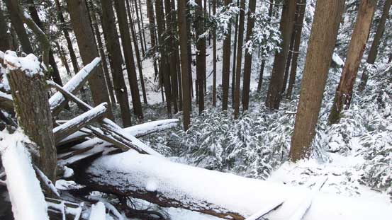
Going down this slope wasn’t pleasant.
I then resumed that westwards mode navigated mainly by GPS. The summit was still not easy to locate and just before the final rise there’s another dip in the forest. If not because of the GPS map I don’t think I could ever find this tiny pimple. The true summit was mostly forested but there’s a viewpoint at about 20 meters down the west side. It’s right above the shear drop and offers some nice views of the Seymour River valley.

The last flat section due west in search for the summit
The summit was finally in sight…
A tiny pond on the summit of Devil’s Peak

Really not much to see. This is looking back towards the lower Seymour

Another picture from the summit of Devil’s Peak
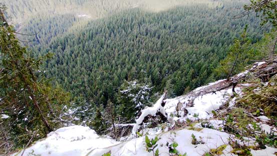
This is the shear drop on the west side

Lynn Peak engulfed in clouds
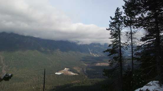
Looking up the Seymour River valley. The Needles should be on left but in clouds
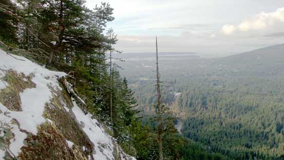
The lower Seymour valley and the Lower Mainland
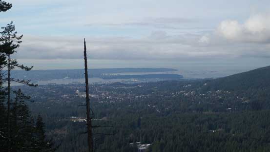
A zoomed-in view of the Lower Mainland
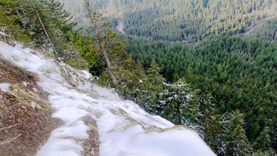
Another picture showing the shear cliff
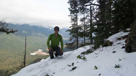
Me on Devil’s Peak. This is the lookout a few minutes beyond the actual summit
It had taken me much longer than planned thank to the confusing terrain and the micro up-and-downs, but oh well. Going back would be significantly easier as I could just follow my own footprints. There’s overall some good aspects when you have fresh snow covering the ground. I managed to cut a few short-cuts and avoided that unnecessary bushy bump. Once back to Boulder Creek the rest of the way back to the car was a simple matter of putting one foot in front of another and was trouble-free.
Time to go home…

Crossing Boulder Creek

Back to the road plod.
My round trip time was 3.5 hours. Although it’s a tad slower than anticipated I still earned about 2 hours of sleep at home before going to work, and that’s more than sufficient enough. The parking lot was a bit of gong show though with inexperienced drivers going up the icy incline and they ended up having to back down. This place is frequent by mountain-bikers and if you’re into biking I’d recommend to check out some trails in lower Seymour. Otherwise for the objective I just finished there’s not much worth bothering unless you are a peak-bagger..
