Molybdenite Mountain
August 31, 2019
2068m
Ione / NE Washington, WA
Molybdenite Mtn. is a prominence summit (WA Top 100 by prominence) in the southern end of Selkirk Mountains that extends southwards into the NE Washington from interior British Columbia. Most peaks in NE Washington are very rounded hills and this isn’t an exception. Most prominent peaks in this part of the state are also drive-ups or close to a drive-up but this one does require a few hours of hiking. The highest of the spur road is gated and the summit ridge (north ridge) hasn’t been logged yet. The summit itself is relatively free of vegetation with decent views, although views in this area is nothing really exciting. This turned out to be my first peak in NE Washington, after coming from NW Montana and northern Idaho with Adam and Connor in this past 2019 peak-bagging road trip. The section of NE Washington was towards the end of this lengthy road trip and and mostly because of weather.
Earlier in this day Adam and Connor had hiked to the summit of “South Selkirk Crest” in northern Idaho but I opted to sit it out. Our next objective was Molybdenite Mtn. which was not geologically far away, but required more than 3 hours of driving to get there. We all drove to the highest we could on the north side logging road and parked at the gate. At this point it was already past 5 pm and we certainly wouldn’t have time for another summit.
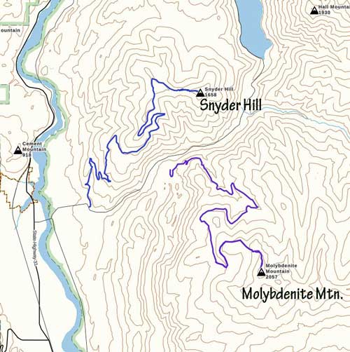
Ascent routes for Molybdenite Mtn. GPX DL
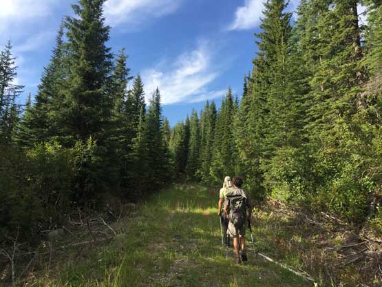
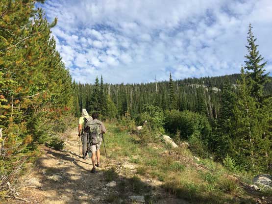
The first mile or so was walking the upper spur road to near the end but we didn’t actually hike to the very end. We bailed the road towards the north ridge on some open forest and stuck to the ridge for the remaining ascent. There was actually a game trail on most part of the north ridge and that was to our surprise. There was still occasional bushwhacking needed as the trail wasn’t officially maintained. We also had to ascend and traverse across several patches of boulder fields. To my surprise, the rock formation in this part of the state was granite. This was my first time touching granite since the start of this road trip two weeks ago.
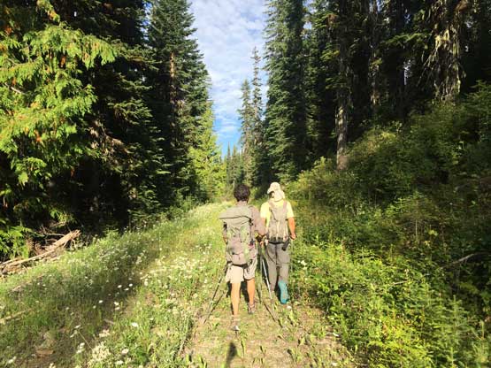
Starting the 2-km road walking.
Adam and Connor plodding up
Near the end of the boring road walk
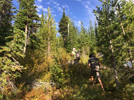
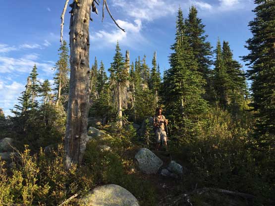
Hiking through open forest towards the north ridge
The view’s opening up on the north ridge
Connor plodding on the ridge

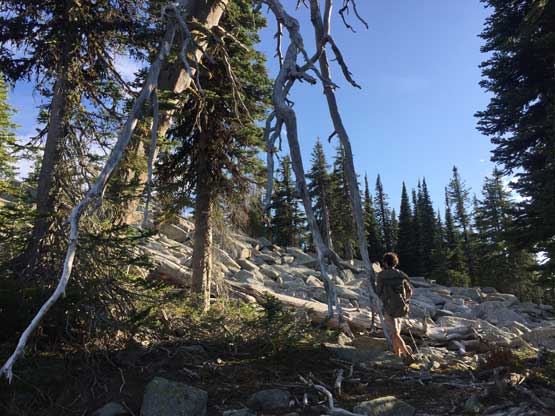
Ascending through several boulder fields
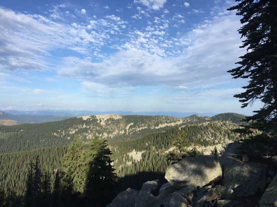
This is looking back towards north with Sullivan Lake in the distance
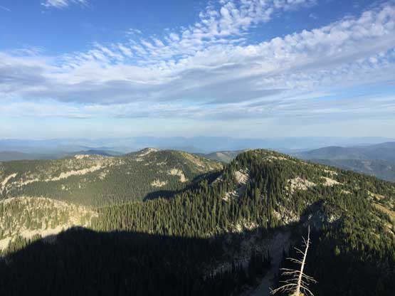
Molybdenite Mtn. has several lower summits to the east.
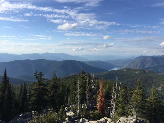
This is a southern view. Calispell Peak in the distance

Partial Summit Panorama from Molybdenite Mountain. Click to view large size.
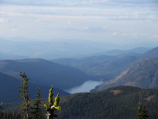
A closer look at Sullivan Lake

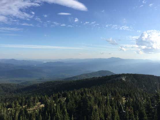
This is a closer look over the tip of a eastern sub-summit. Nothing’s exciting.
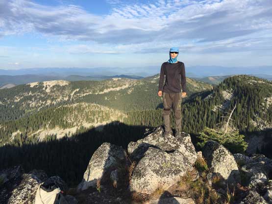
Me on the summit of Molybdenite Mountain
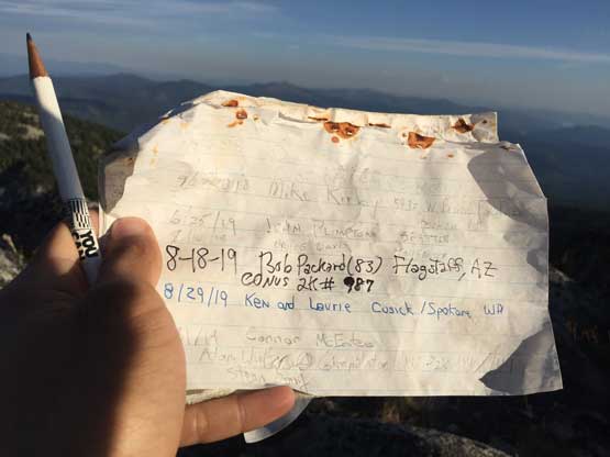
The most exciting moment was seeing Bob Packard’s name in the register…
After lingering for about half an hour on the summit we leisurely walked down the ridge and then the road back to our respective vehicles. Instead of driving down the roads we opted to set up camp right at the gate as it’s a relatively quiet place. The plan for the following day was very ambitious with at least four or five prominence summits so we opted to wake up at 4:00 am. The first one was the nearby Snyder Hill.
Connor hiking down the typical terrain on the north ridge
Down through open forest

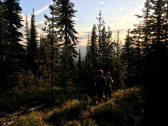
It’s sunset time already!

The last stretch of road-walk…
