Mount Worthington
August 18, 2012
2915m
Kananaskis – Kananaskis Lakes, AB/BC
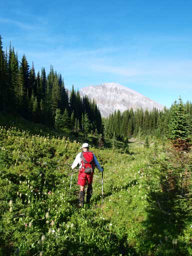
Mt. Worthington is the higher of the two peaks (together with Mt. McHarg) that dominate the backdrop of Three Isle Lake near the popular Northover Ridge area. The scramble itself seems to draw less interest in the scrambling community probably because of the (relatively) long approach assuming if only day-trip, and the tiresome and uninspiring scree slog involved. Grant and I didn’t like camping neither, but we were fast and fit so combined not just Mt. McHarg and Mt. Worthington, but also with Mt. Northover in one very long day.

Mt. McHarg and Mt. Worthington scramble route
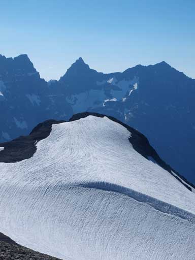
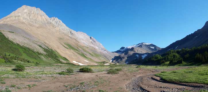
We descended from Mount McHarg, towards skier’s right and I don’t think there’ll be any issue on the mile glacier in between. We quickly made our way down to McHarg/Worthington col. From there, it was a 10min slog up the tedious rubble slope to Mount Worthington. The view down towards Three Isle Lake is the most attracting.
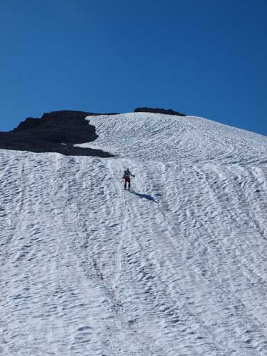
Descending from Mt. McHarg
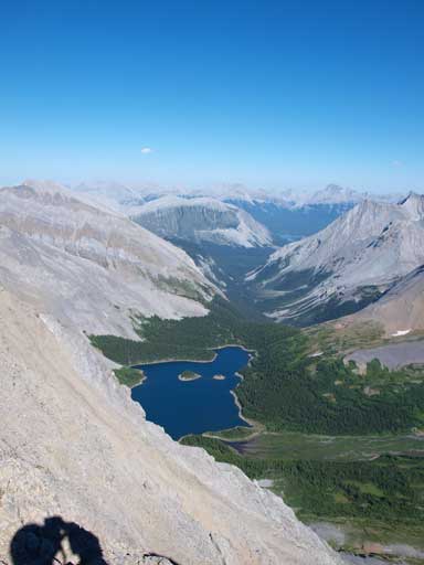
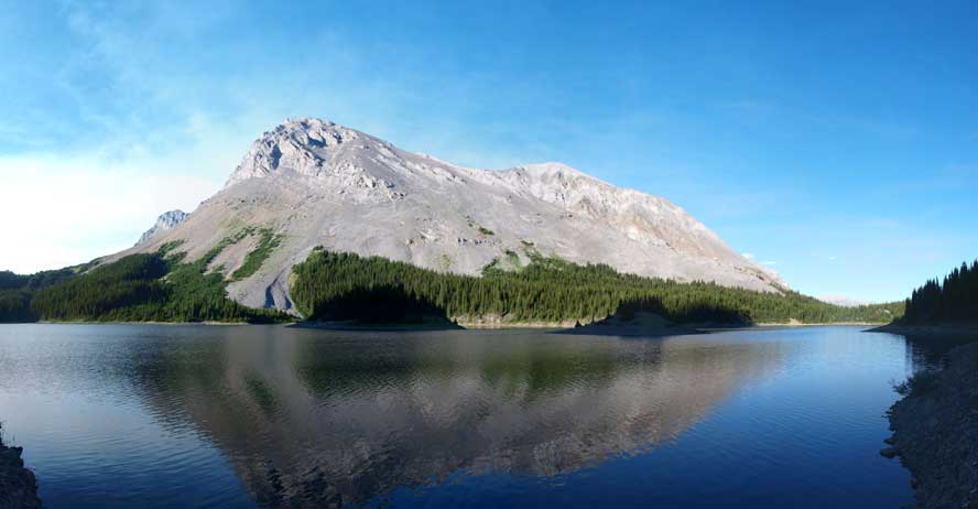
Looking down to Three Isle Lake. Upper K-Lake is in the far distance.

Three Isle Lake
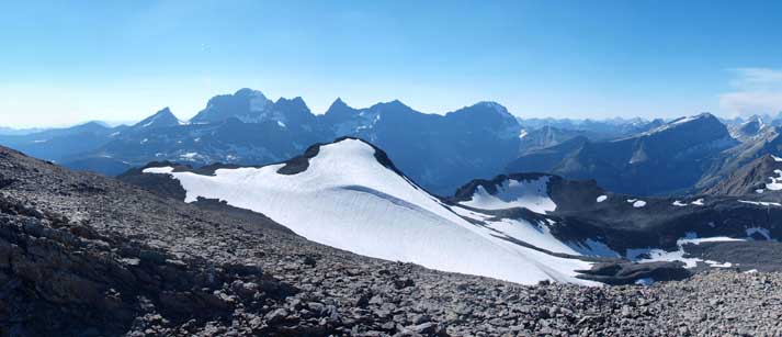
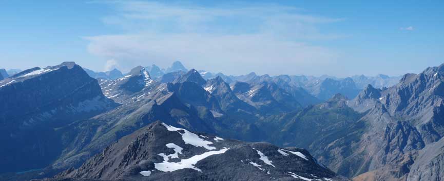
Looking over Mt. McHarg towards The Royal Group
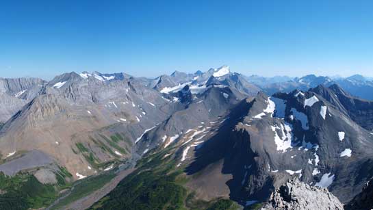
Beautiful Kananaskis mountains. Joffre in the background

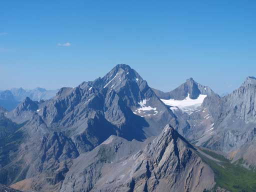
Zooming-in towards Sarrail and Foch on left; Joffre on right

Mt. King George
Mt. McHarg
Zooming-in towards Mount Assiniboine area
Mount Sir Douglas

Me on the summit
We took a long break on the summit. It was very discouraging to see the Upper Kananaskis Lake from the summit of Worthington, oh man, it’s a long way home… Getting mentally ready, we started the descend down the rubble slope. I descended to McHarg – Worthington col first and managed to use snow for as much as possible. Grant joined me on the snow as well. We boot skied down for a short distance but it soon turned to rubble slog again. We took our time and made back to treeline.
Mount Putnik in the background. Almost back to treeline
There was still some bushwhacking to do once getting down into the trees
We were too tired to try finding a trail or whatsoever. We just decided to bushwhack straight down the slope. The forest was pretty thick and there were 2 or 3 very steep sections involved. Again, nothing worse than the bushwhacking down Southfork Mountain, so I’m okay with that 🙂 It feels like forever to finally break through the trees and re-joined the Northover Ridge traverse trail. We followed trail down to Three Isle Lake. This lake is also very pretty.
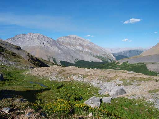
We regained Northover Ridge trail at valley floor
Three Isle Lake
By this time, I was very beat. Considering this was my 4th day in a row of intense peak-bagging, it’s understandable. Descending the steep headwall almost killed my knees… I had to descend step by step. What was more frustrating, there’re tens of uphill sections involved. I think this trail has to be re-designed. Eventually we made down to the wider and more pleasant trail. This trail goes on forever, we passed Maude – Lawson Trail, Forks Campground, more up-and-downs, and finally joined by the Upper Kananaskis Lake Circuit trail. Another 2km brought us back to my car. Round Trip Time: 16 hours car to car.
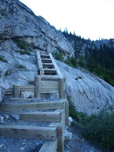
Staircases on the maintained Three Isle Lake Trail
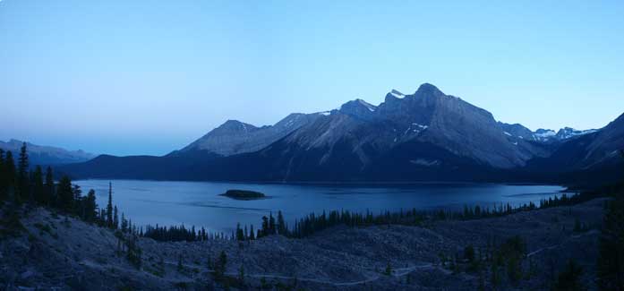
Finally back to Upper K-Lake. Still have a long way to go. Car is on the other side…
Overall, awesome climb, awesome views!!! I’m more comfortable and skillful on dry rock than steep snow, and that’s why I say this is an exciting and enjoyable climb, not scary climb. This 3 peak traverse gave an awesome finish to my 4-day-bluebird-peak-bagging trip. I couldn’t ask for better condition. And a big thank to Granticulus for accompanying!!
