Denman Peak
June 12, 2018
1831m
Mt. Rainier National Park, WA
Denman Peak is a mere bump in the already-insignificant Tatoosh Range and is a perfect example of why-bother… The only reason I considered making this ascent was to combine with the nearby peaks to make a loop traverse. The ascent does have a few fun scrambling moves following the ridge from Denman/Plummer saddle, and the ascent is better done in spring when snow covers much of the underbrush. Unlike its popular neighbours there’s no trail heading up Denman Peak hence some degree of bushwhacking is required.

Traverse of Castle, Pinnacle, Plummer, Denman. GPX DL
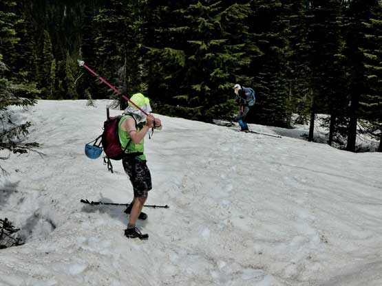
After making ascents of The Castle, Pinnacle Peak and then Plummer Peak Lily, Alan and I were still looking for more to do. The plan was to head over and grab Denman Peak and Lane Peak. The detour to Denman Peak seemed to require minimal effort but I wasn’t very positive about the other peak, but we would see once we got there. Plunging and boot-skiing down from Plummer Peak was super enjoyable on the (still firm) snow. Then up the SE Ridge of Denman Peak we found mostly dry ground. Nothing’s worth noting except for the summit was actually partially wooded obscuring the panoramic view. At the summit we decided against pushing any farther.

Alan scrambling up the SE Ridge of Denman Peak

Lily on a short ledge traverse

A look at Pinnacle Peak which we just ascended

Alan and I arriving on the summit of Denman Peak
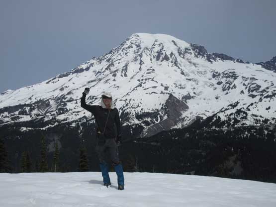
Me on the summit of Denman Peak with Mt. Rainier behind
Down the same way we took another long break once getting back to Denman/Plummer saddle since that’s where we ditched the backpacks. Rather than ascending back up and over Plummer’s shoulder we headed straight down the north side valley. There’s no trail in this valley so eventually we had to cut over (skier’s right) to find our path. There were a set of boot path leading the way so minimal thinking was required for us. The previous party must got themselves seriously confused lower down that we got sucked into some bad bushwhacking. I had the GPS unit handy so soon realized the mistake. After a bit of frustrating elevation regain we plunged back into the correct bowl and were soon back to the car. The round trip time was around 7 hours I think just as expected. Not bad, not bad…

Lily and Alan descending the typical terrain on SE Ridge
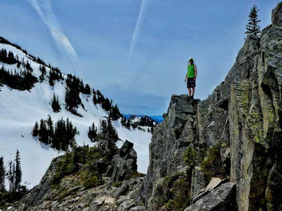
Alan posing for a photo. Photo by Lily Q.

Taking a long break at Denman/Plummer saddle. Photo by Alan B.
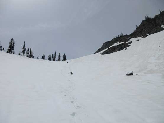
Plunging and sliding down the north side valley into some unknowns
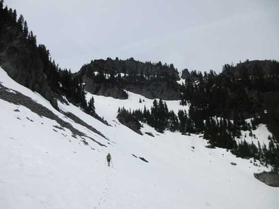
At this point we picked up a set of boot path
After rejoining the main route we played some fun in snow. Photo by Lily Q.
About half an hour later the engine was turned on and it’s time to head home. I volunteered to drive the winding roads section because I didn’t want to deal with that Seattle traffic gong show. This time rather than heading back via Longmire I opted to drive down Stevens Canyon Road to the east side of Mt. Rainier for some variety. Once entering Seattleland we switched over and Al did a great job getting us through the urban gong show. The rest of the drive back home was uneventful, and that concluded another wonderful trip down south in the state of Washington.
