Cecil Hill
June 27, 2026
455m
Sunshine Coast, BC
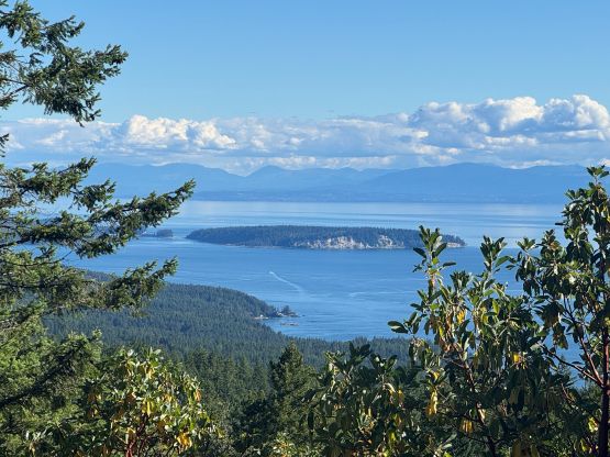
Cecil Hill is one of the officially named pimples on Sechelt Peninsula on Sunshine Coast. There’s in fact nothing special about this objective other than the name being official and the prominence being over 100 m. There’s no view whatsoever from the true summit but one can find a tiny bit of views from the edge of some bluffs in the vicinity of the summit. The standard approach is from McNeill Lake FSR and that was my plan as well. Clair was keen on taking Cheesecake out for another hike but I didn’t make the decision until the very last minute. The weather was eventually showing a clearing trend towards west so I was looking for some objectives that required ferry crossings. I was originally thinking about the Southern Gulf Islands but most of those islands would require an overnight stay and a hotel at this time of a year would cost over 200 dollars. I wasn’t too keen on spending 200 dollars for the ferry plus another 200+ dollars for the hotel just for one or two “dumpster dives”, so the Sunshine Coast seemed like the most logical option. The ferry still costed over 90 dollars as there’s no “saver’s fare” at such last minute.
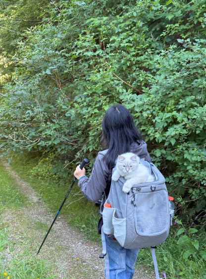
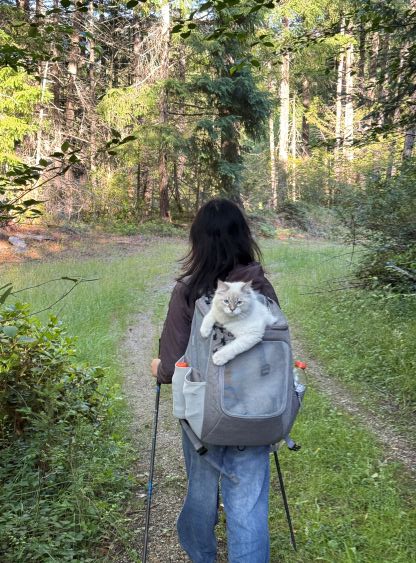
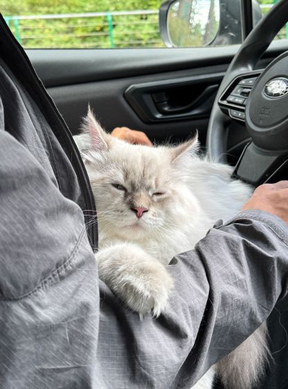
I was more keen on officially named peaks even if there’s no view, so Cecil Hill was the eventual decision. Clair was also not too interested in strenuous objectives and I assured her that the elevation gain would not exceed 300 m on this particular one. The reservation was full until the 1:20 pm ride so I booked that one for us, and for the return I just booked the 10:45 pm ride. I anticipated that we wouldn’t be taking the last ride but better safe than sorry. The traffics from UBC to Horseshoe Bay through downtown took almost an hour but we still showed up with more than half an hour of spare. The drive on the other side of the ferry took another hour and we also needed to stop for lunch, so the travelling still took a while.
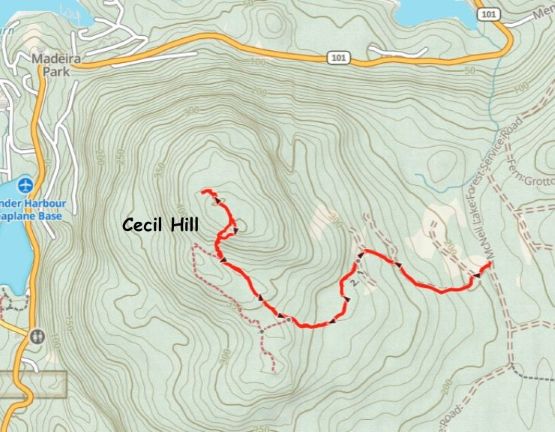
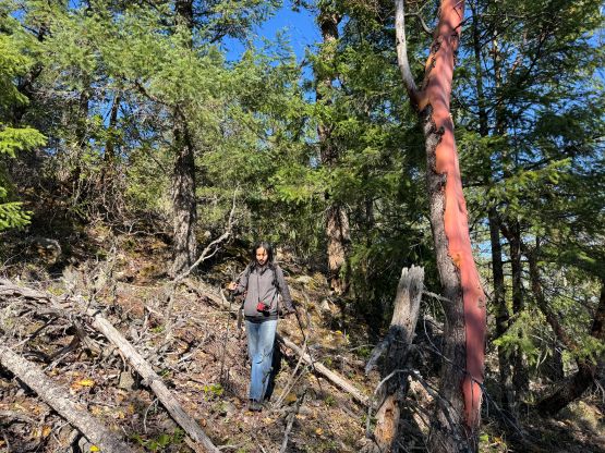
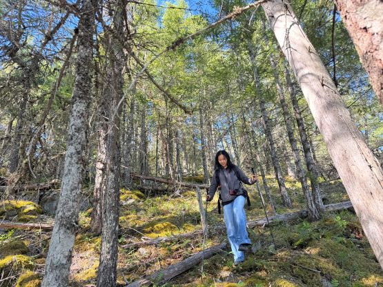
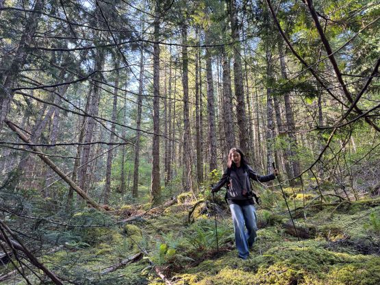
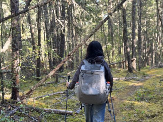
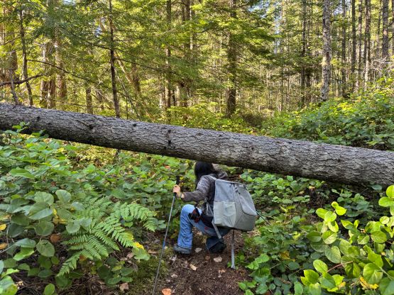
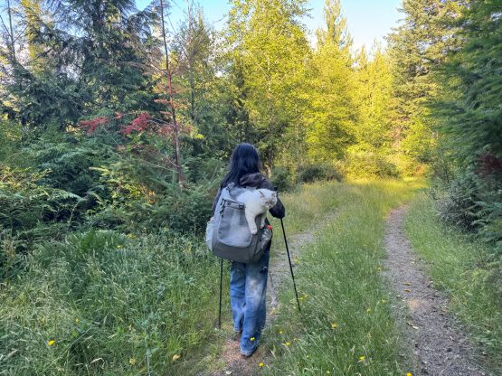
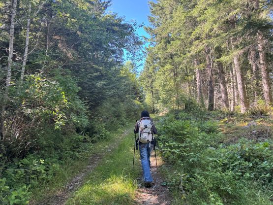
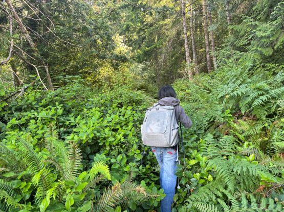
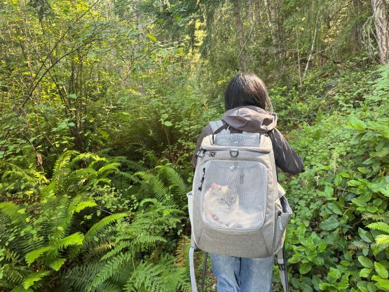
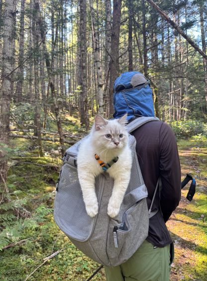
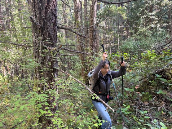
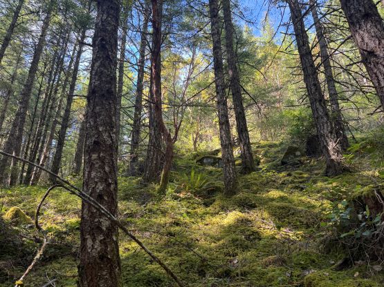
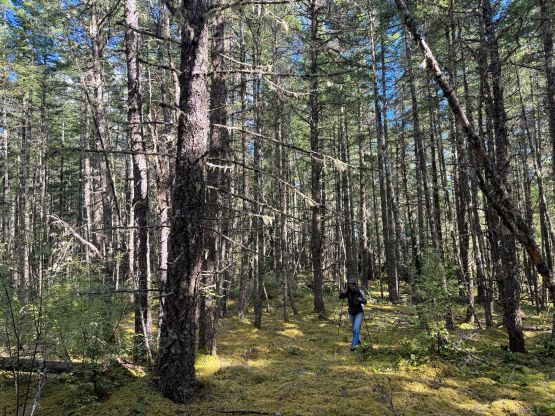
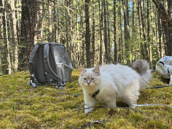
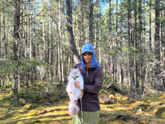
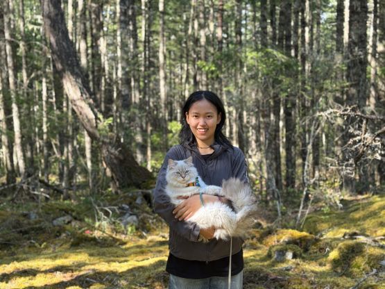
I thought possibly I could drive the spur road off the mainline but the initial ditch was a bit too scary. I actually attempted to drive through that ditch in the stock Subaru but backed off after halfway in. The walking on this deactivated part of the FSR was actually quite scenic so I didn’t regret doing it. We then took the trail labelled on the Gaia map which brought us to within 50 vertical meters from the forested summit. Unfortunately there’s no trail to the true summit so we had to deal with some light bushwhacking. I also checked out Kelly Wilson’s “NW viewpoint” which was disappointing. Clair and Cheesecake were waiting for me on the true summit and I think they definitely made the correct decision.
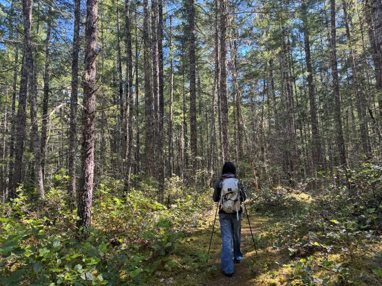
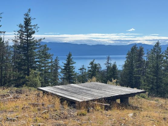
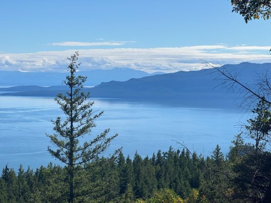
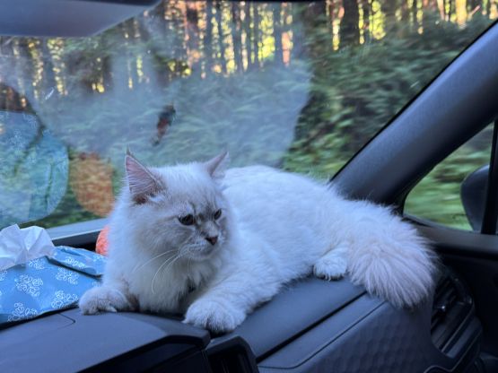
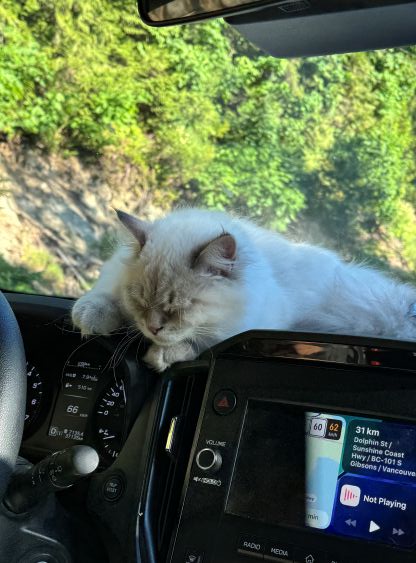
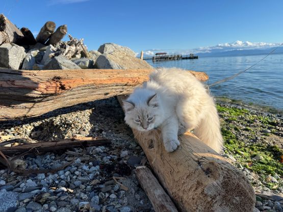
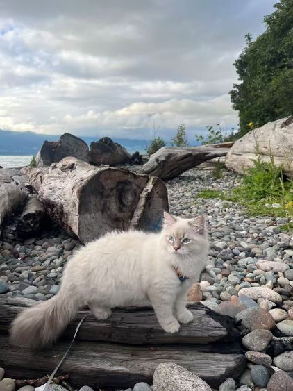
On the descent we went off course but actually found some (better) views from the edge of some bluffs. The bluffs would be too scary for Clair to negotiate so I led us traversing to our own GPX track and followed the same route down. The round trip time was exactly 2 hours. I estimated that we still had some time to spare to catch the 8:30 pm ferry back home so we stopped for some photos at the beach in Sechelt. We did eventually show up on time for the second-to-last ride and there were still space for us, and we eventually got back to Clair’s UBC dorm by 10 pm.