Mount Killam
April 9, 2022
844m
Gambier Island, BC
Mt. Killam is one of the handful summits on Gambier Island in Howe Sound. The access of this island is from Sunshine Coast via some smaller ferries. To successfully get onto this island one needs to do some homework about the logistics. Thankfully I had previously been there two months ago to ascend Mt. Liddel/”Gambier Peak” so I knew what exactly to expect. The weather forecast for this past Saturday was not the greatest and we also had some major snowfall events a few days earlier. The area with the highest probability of sunshine was to the north and west of Vancouver, so I suggested Mt. Killam as an option. Alex and Vlad agreed with the plan and Marius joined the team at the last minute.
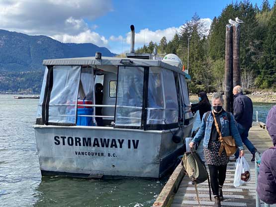
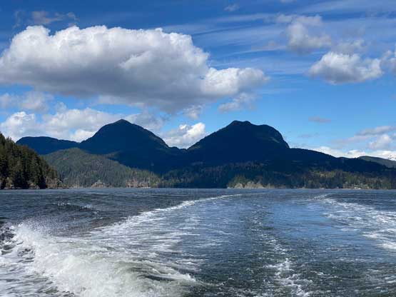
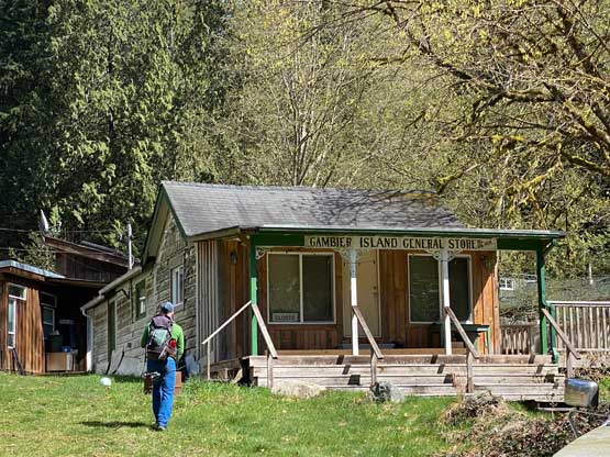
The three of us grouped somewhere along Boundary Road in Burnaby and made to Horseshoe Bay at 7:10 am in Vlad’s brand new electric Vogswagan. We each bought our own passenger ticket to Langdale as the Gambier Island’s tickets had to be purchased in cash on the small boat. About an hour later we arrived in Langdale and immediately hopped onto the small ferry. There were at least 15 passengers all looked to be hikers. We had some concern that the small boat might not be able to take everyone, so basically ran from the main ferry to the secondary terminal to get some better positions in the line-up. Thankfully most of them were actually going for Keats Island meaning we were the only group hiking on Gambier Island on this day. The short ride to Gambier Island was fun and was actually the first highlight of the trip.


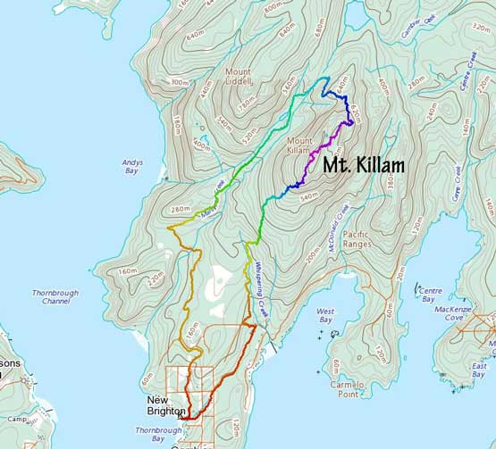
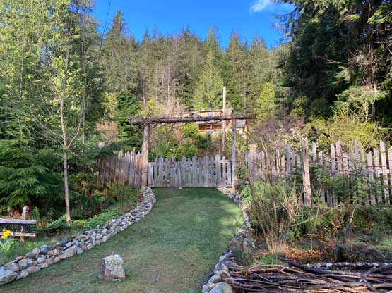
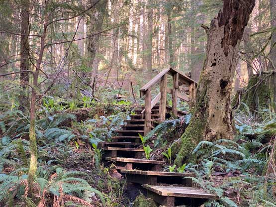
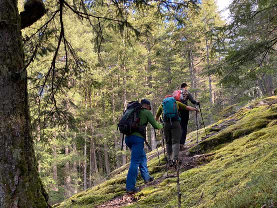
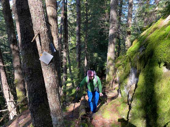
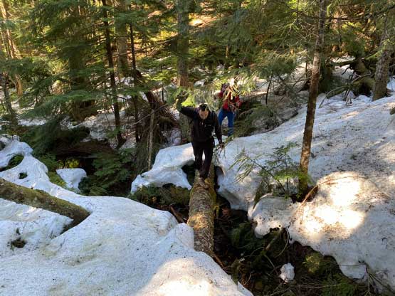
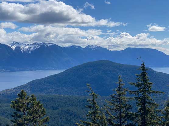
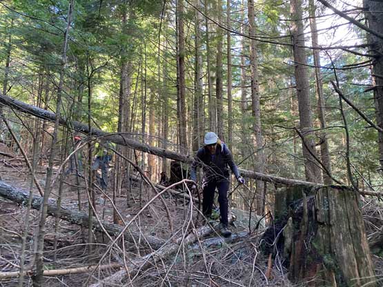
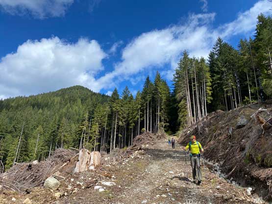
There are two ways to approach Mt. Killam’s trail and we decided to take the eastern option staying lower near the coastline. The other option had about 1 hour of walking on logging roads each way. Near Whispering Creek we picked up a well-constructed trail that sneaked into the woods beside someone’s private property. About ten minutes later we came across some trail junctions that were rather unsigned. It seemed to me that the easternmost option was the most direct even though it involved about 20 m of descending at the start. This trail stuck fairly close to Whispering Creek on the west side. Higher up we followed the trail hopping across the creek and ascended onto the proper Mt. Killam’s trail. This trail was well flagged and easy to follow (as least up to around 700 m) but the quality was nowhere as good as lower down. The ascent was rather boring so I stayed back in the team to kill time. Vlad did a great job setting the group’s pace and then Alex found some bluffs at 700 m simply by looking around in the forest. A short detour later we came to the first of the 3 viewpoints in this trip. This first one was a pleasant surprise as there’s no reference on the internet.


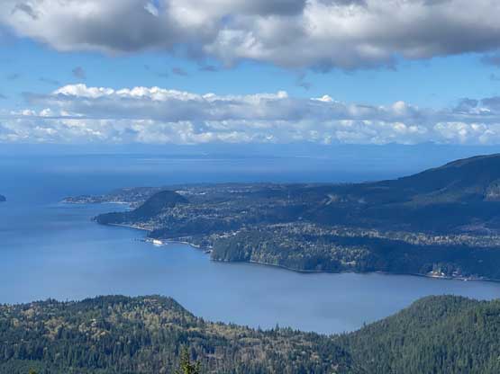

The next short while had some steep ascending but then we came across the second viewpoint at around 730 m. This one was to the south of the trail and required about a minute of cross-country travel in the forest. The views felt even better with open vistas towards south and the North Shore Mountains. The rest of the plod to the summit was rather boring and the summit had no view whatsoever. The four of us spent a few minutes looking for the Bagger Challenge’s whiskey bottle but to no avail.


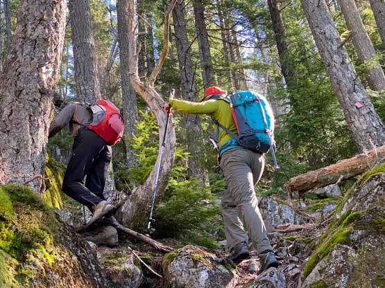
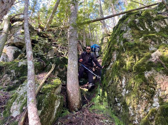
One thing worth noting about Gambier Island is the ferry’s pick-up time. As soon as one steps onto the island one’s committed for the day. The earliest return ferry to Langdale is 3:20 pm but then the next one from Langdale to Horseshoe Bay is 5:25 pm and that’s the earliest possible time of returning to Vancouver. For us there’s no point in finishing the hike earlier than 3 pm so we might as well do something else. I suggested that the NE sub-summit of Mt. Killam had gained an unofficial name of “Amigos Peak” thank to Bagger Challenge group so we should make a loop. The traverse between Mt. Killam and “Amigos Peak” was mostly off-trail with some bluffs to scramble through. The deep chasm at the saddle between the two bumps even held some snow. The top of “Amigos Peak” had some glimpses of views towards the west but nothing really worth mentioning.


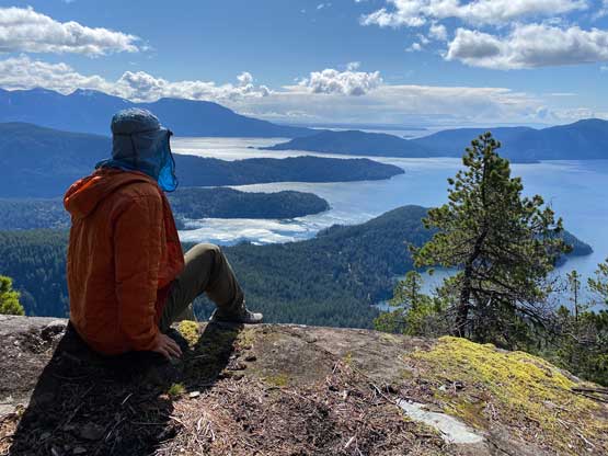
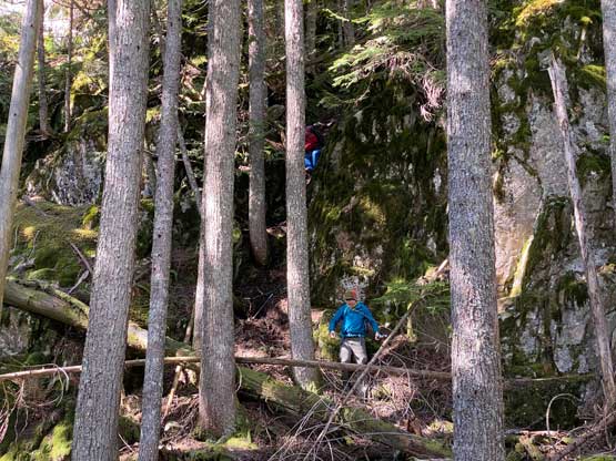
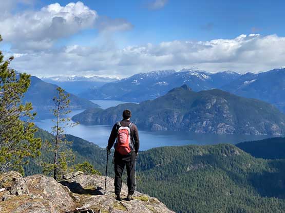
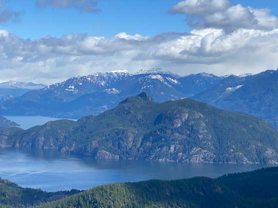
We then picked up the flagged path descending the north slopes of “Amigos Peak” and at some point Vlad suggested to take a peek at the next viewpoint on the Gaia’s map. None of us had read anything about it so we were curious. The map suggested about 50 m of elevation regain if following the trails but we decided to take a short-cut by descending directly towards it. The result was some serious bluffs that required tricky route-finding and at least one or two class 4 moves on mossy rocks. Our strategy did work in the end so we did save about 50 m of elevation gain. This viewpoint proved to the finest among the three discovered in this trip, so we were pretty stoked about it.


After this detour we picked up the flagged path again and descended to the Gambier Lake’s trail. Now following this trail southwards we soon made to Mt. Liddell’s junction and the rest of the descent was on my familiar ground. The final 1-hour road walking was as boring and tedious as two months ago. The roads weren’t even flat with at least 2 or 3 major uphill stretches. The round trip distance was about 18 km so this was also not as short as one might expect.


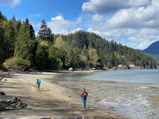
We finished the hike at 2:30 pm meaning that we had to sit and wait for 4 hours before being able to walk onto the Langdale-Horseshoe Bay ferry. There were two consecutive rides from Gambier to Langdale, at 3:20 pm and 4:30 pm. We opted to take the first one and then spent 2 hours exploring the beaches at Langdale. Eventually we got back to the mainland at 6 pm, but there’s some major traffic delays on Highway 1. I eventually stopped in one of Surrey’s Tasty Donair for dinner and did not get back to White Rock until 9 pm.