Mist Mountain
August 6, 2014
3138m
Kananaskis – Highwood Pass, AB
After successfully climbed the NW Ridge of Mt. Sir Donald I got a well deserved break, spending the August long weekend at home (thunderstorms in the forecast anyway). Some nice weather returned in the middle of the following week so it’s time to head out again. Obviously I’d have no partner on this Wednesday trip, and I wasn’t quite in the mood to solo climb difficult objectives neither. I decided to pick a lofty but easy summit in an area I hadn’t visited often yet. Mist Mountain seemed like the right idea as my last time visiting Highwood Pass was almost 2 years ago.
There’re numerous ways to ascend Mist Mountain ranging from off-trail hike to difficult scramble. The scramble routes are well documented in Alan Kane’s Scrambles in the Canadian Rockies book, while the hiking route is described in Bob Spirko’s site as well as Gem Trek’s map – Highwood and Cataract Creek. I wasn’t keen on unnecessary challenges on this day nor on this objective so I’d use the hiking route which starts further south. As I drove towards the trail-head I had to lose quite some elevation from the 2200 m high point which was frustrating. What made it more frustrating was that I left my maps at home… I did not do a lot of homework and I was mainly counting on the Gem Trek map.. Oh well, I still had my GPS so at least I could locate the correct ascending drainage, but nothing more than that. The trail isn’t official so after driving back-and-forth in that general area I gave up. I parked at a pull out and I would start this day by bushwhacking up the forest…
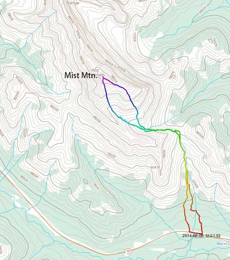
Mist Mountain via the hiker’s route. GPX DL
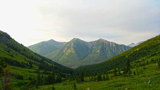
I thought I could find the trail higher up, but apparently not. I didn’t even know if it’s on the left or right side of the creek. It’s actually way on climber’s left side so there’s no way for me to guess correctly. The bush wasn’t very pleasant neither with lots of brushes and alders, and the morning dew made the process more miserable. (Not nearly as bad as the worst bush I’d done, but definitely worse than the typical Kananaskis bush I’d expect). I ended up bushwhacking all the way to the alpine meadows… Then I located the trail and followed it to the distant col.
Looking back from above treeline
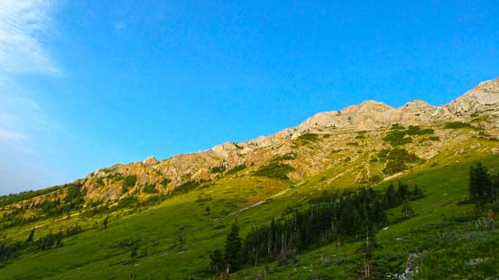
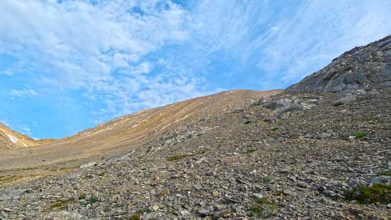
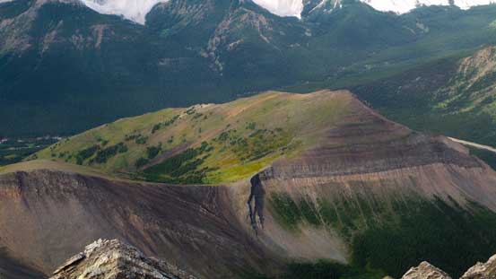
One of the sub ridges of Mist Mountain

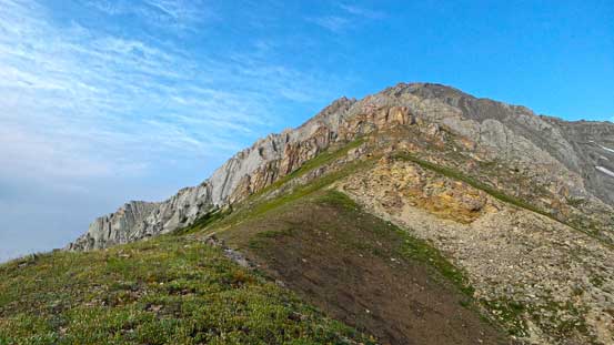
Ahead is the first (grassy) col – note the foreshortening view

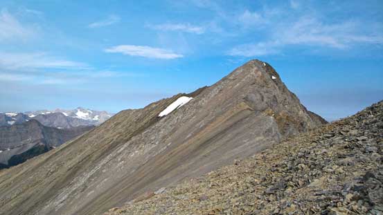
From the col looking towards the false summit
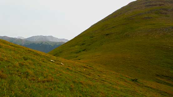
At the col I lost the trail, but following my basic sense I ascended a grassy hill towards left side. Soon I located a path on rock/scree that would lead me contouring the steep terrain on climber’s left side to access the next drainage system with minimal elevation loss. Once in the next (rockier) drainage I followed it up for a while until it made sense to ascend steeply up climber’s right on rubble. This ascending option is still a grind, but compared to my descent route it’s generally on firm ground. It’s a long way up to the false summit and I even took a break near the top (not very often for my trips). The traverse to the true summit was short and scenic and soon I stood on top. Due to the forest fire smoke the views were not the greatest but still decent.

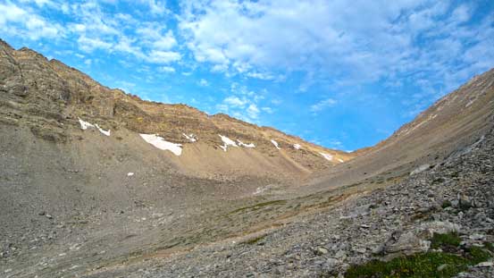
A path would lead me traversing this part into the next drainage
The path starts somewhere here
The very foreshortened view of the long slog to false summit
A view of this hanging valley
Nearing the false summit
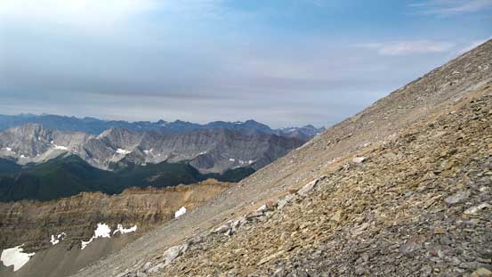
A view looking south.
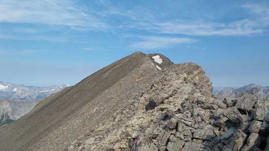
The traverse to true summit
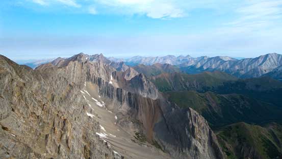
Already excellent view of the other side
The last bit
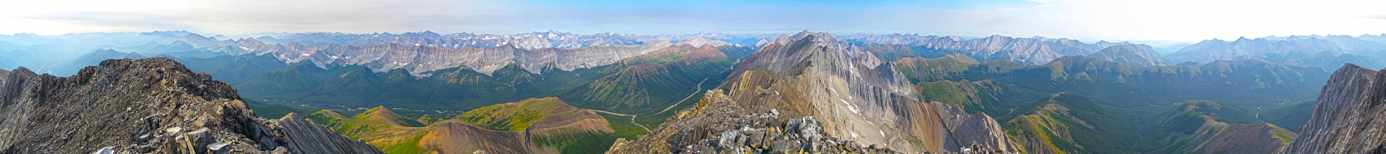
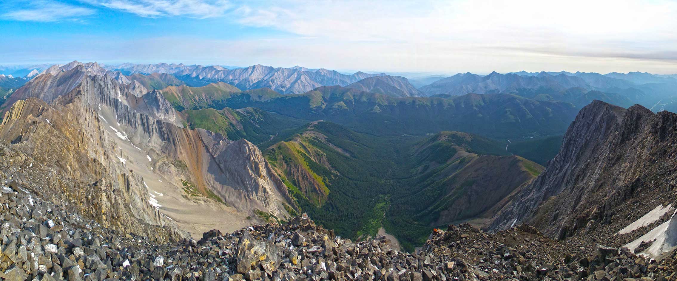
Summit Panorama. Click to view large size.
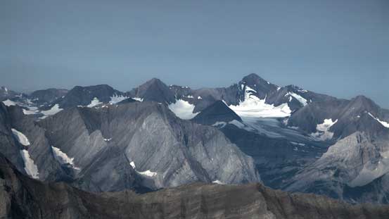
The East Face of Mt. Joffre
Telephoto of Mt. King George
Mt. Sir Douglas and Mt. Assiniboine (behind)
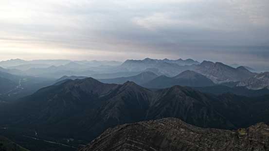
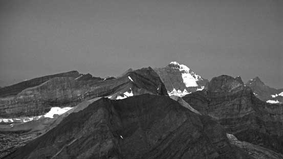
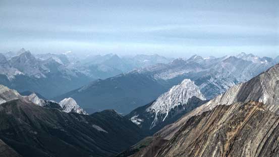
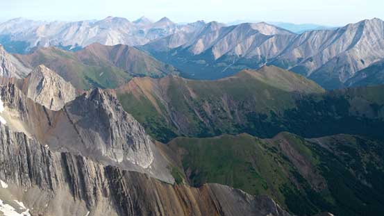
Looking south into the High Rock Range

A sea of peaks in BC. Mt. Harrison was barely visible
The tiny peak in foreground is Gap Mountain
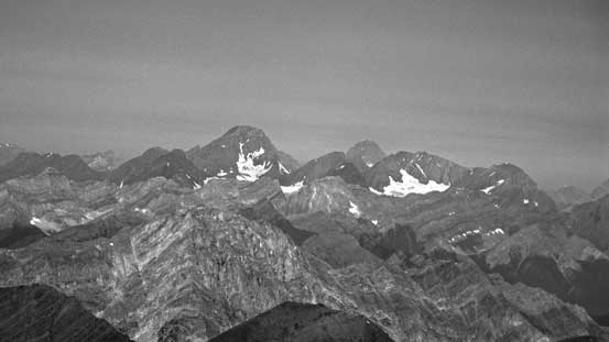
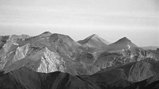
Mt. Rae, 4th highest in Kananaskis Country
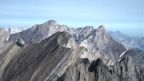
The Elbow 4-peak Traverse – Glasgow, Cornwall, Outlaw, Banded

Mt. Burns
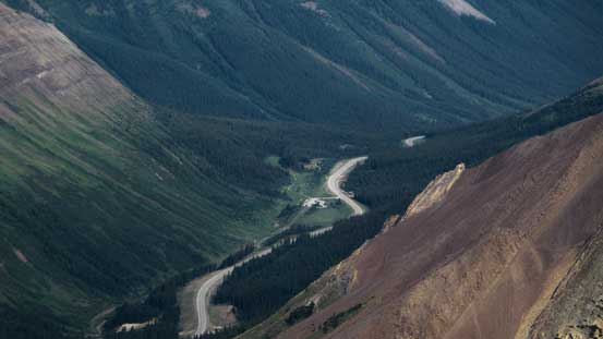
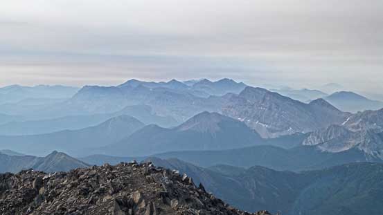
Looking down towards the Highwood Pass summit – at elevation of 2200 m
Highwood Ridge and Highway 40
The bump of Mt. Lipsett
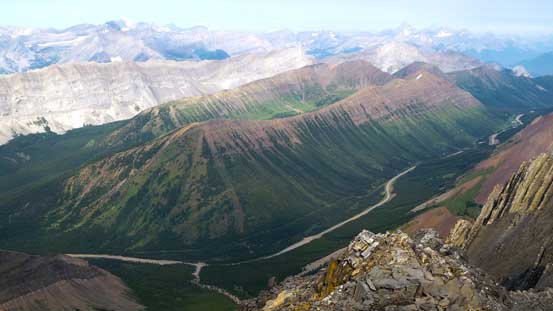
I like the greenish colours on these hills

And, the striking mountain ranges
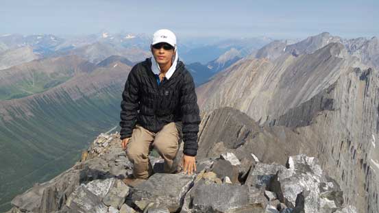
Me on the summit of Mist Mountain

Panorama looking west. Click to view large size.
Panorama looking east. Click to view large size.
After a long summit stay I started the descent. I’d use the obvious scree bowl just to skier’s right. There’s even a path helping me to locate the best scree skiing. The quality wasn’t as good as on Yamuska though, but at least it helped me getting down fast. Again, it’s actually a long way down this bowl despite the appearance. Back to the trail, I paid close attention to not lose in in the woods. It’s actually quite well maintained, just not so obvious at the trail-head.
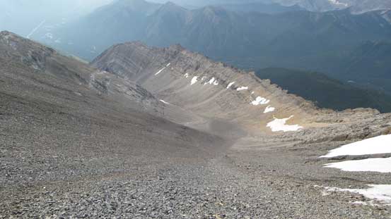
Descending this big scree bowl
Back to the grassy col

From the col, looking down the rest of the way back
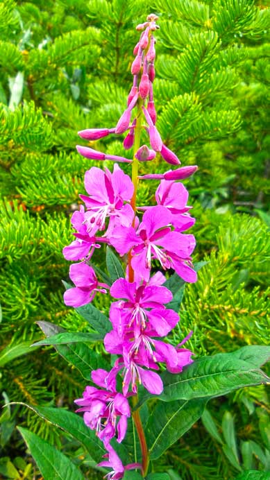
Fire weeds
More flowers
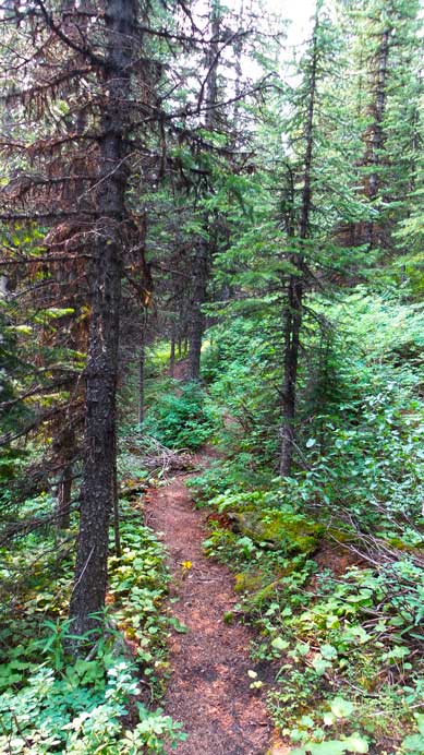
This trail is actually quite pleasant – too bad I couldn’t locate it on the way in…
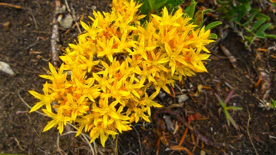
An interesting flower
Overall, Mist Mountain isn’t quite an exciting objective if going up the hiker’s route and the views weren’t that spectacular neither, but it’s still good to be out in the mountains. It’s still overall a 3100m+ summit. The drive back home was boring and tiring. It’s my second trip in a roll encountering traffic jam on Highway 2, oh well….

Hello Steven,
Your pink/purple flower is fireweed (you’ll see a LOT of that if/when you do Mt Ball).
I believe the yellow flower is stonecrop.
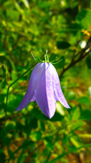
The last flower is a harebell.
Too bad you didn’t take more time on Mist…there’s a lot to see (a hot spring and an impressive wall of fossils). One day I may go back to try the Lipsett route up and Kane’s alternate route down…
Regards and thanks for posting.
Granticulus