Avawatz Peak
January 5, 2022
1876m
Baker / Death Valley, CA
Avawatz Peak is the highest peak in Avawatz Mounains Wilderness on the edge but outside Death Valley National Park not far from the town of Baker. This peak is more known for its 1000+ meters of prominence. The ascent is nothing fancier than a long slog through desert washes and canyons. There used to have a shorter access but because of deactivated roads and military bases these days almost all ascents were done from the north side via Sheep Creek Springs. The round trip distance is about 25 km so this is a long walk by the desert standard.
The world renowned peak-bagger Rob Woodall had come to the U.S. deserts to bag as many “Ribus”/P1000m as possible over the course of three weeks and our schedule happened to overlap. Rob and I had already been talking over the last few days but we had to wait till I finished the road-trip with Adam to finally team up for something. In the previous evening Adam, Rob and I along with Sean Casserly gathered in a Mexican restaurant in Needles, CA for a dinner and then drove back to Adam’s home in Las Vegas. Rob, Sean and I made plan to hike Avawatz Peak as Sean had been talking about this peak for a while. Sean needed to drive all the way back to San Jose afterwards and we could not leave Adam’s home until about 8 am. The schedule was tight and pushy, but the three of us were determined to make it happen. Rob and I were further delayed by some traffics and Google’s wrong directions and we even made a stupid mistake to gas up in Death Valley’s shoshone which was about 50% more expensive than the nearby city in Nevada. Rob and I eventually made to the start of the dirt roads 40 minutes later than planned and then all piled into Sean’s Jeep. The ride to the trail-head wasn’t too terrible but in Sean’s Jeep we could drive fast.
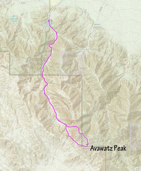
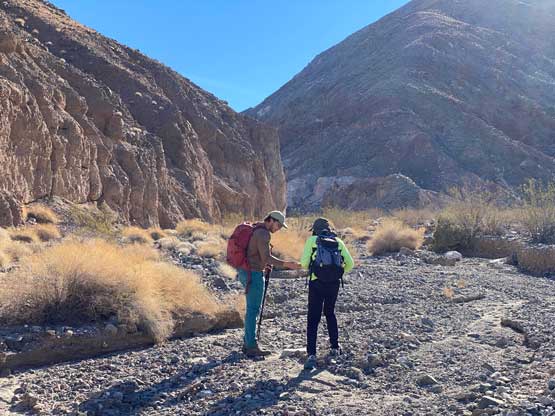
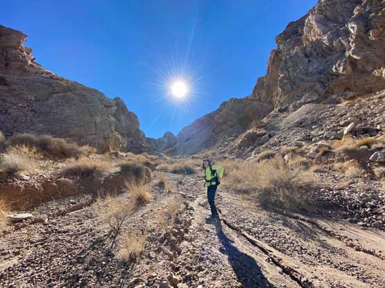
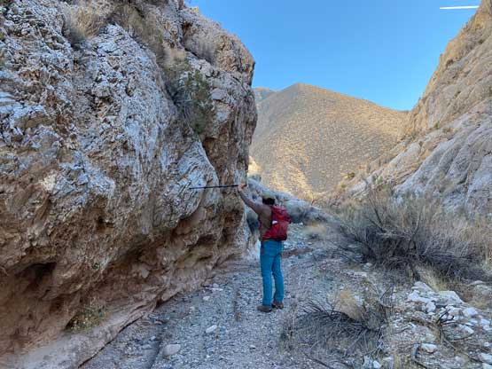
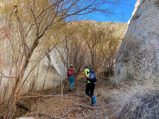
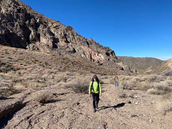
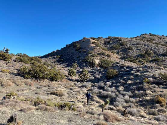
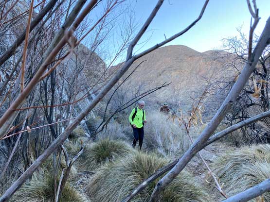
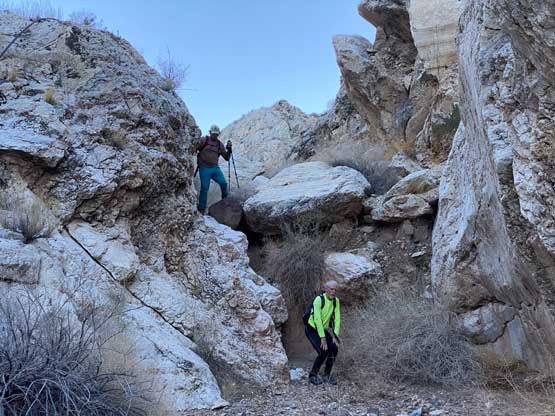
The parking lot was obvious as there’s absolutely no way for motorized vehicle to proceed further. Right off the bat we made a mistake of going straight into the canyon. Dense bushes forced us to backtrack and soon we found a hiker’s path ascending climber’s left side to bypass the bushwhack. There were multiple paths and we took a lower but more exposed option. After dropping back into the dry wash the game had become simple, to put one foot in front of another for a couple more hours all the way to the base of Avawatz Peak. We did have to check the GPS multiple times to make sure we stayed in the correct wash but the general bearing was very simple. I’m never a fan of hiking up flat washes so this had quickly become a mind-numbing game. Rob had also set a blistering pace that Sean and I were struggling to keep up with. En route we encountered a few canyon-like steps with brief class 3 scrambling. We probably could have avoided those steps had we looked for an easier line, but scrambling straight up and over was more fun.


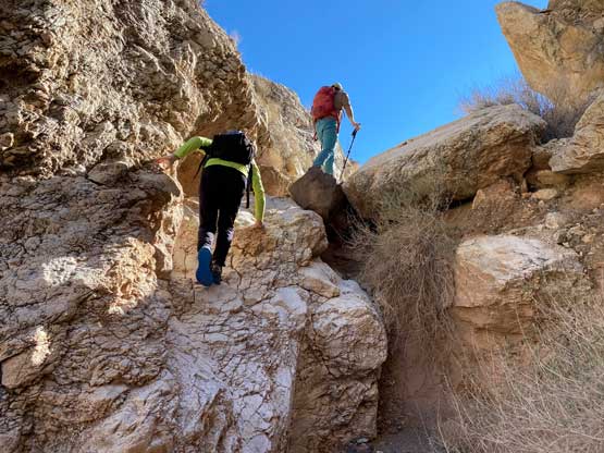
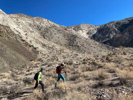


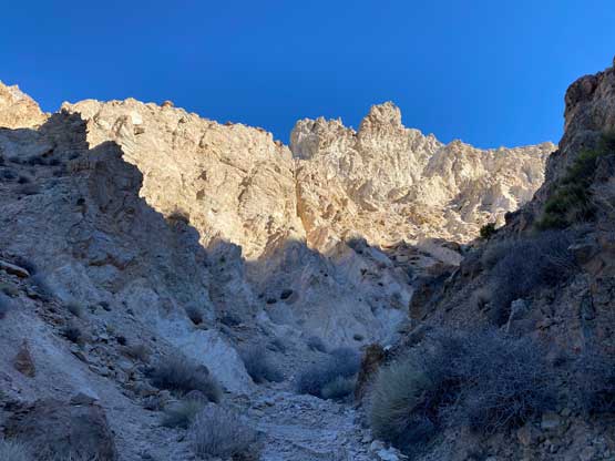
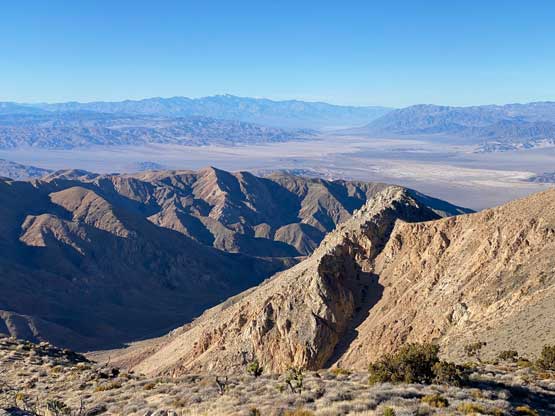
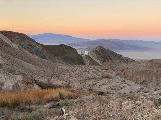
Eventually the terrain finally became steep and interesting when we entered the canyon under Avawatz Peak’s NW Ridge. There were at least some scrambling involved but nothing harder than “class 2”. We then plodded across some undulating terrain and slogged onto the NW Ridge. The ascent of the NW Ridge to the summit was a massive slog fest that seemed to drag on for a long while. Thankfully the views made this slog worthwhile.


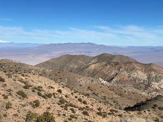


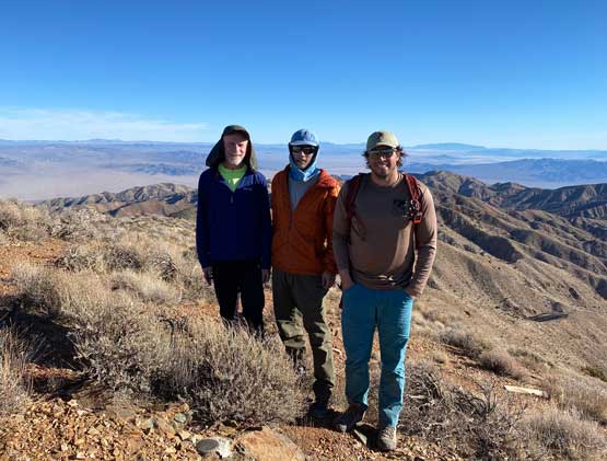
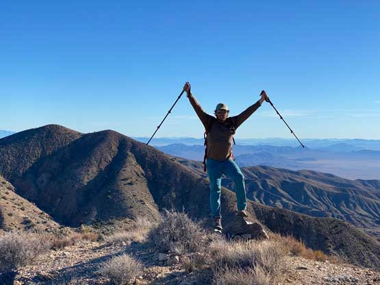
Rob and I had previously noted the north peak, a couple kilometers to the north having the exact same contour lines on the topo map, so we had to traverse there to check it out. The traverse wasn’t difficult but involved a good amount of side-hilling and was overall just another big slog. When we eventually reached that north summit we were surprised to find a register with some legends’ names. Rob used his sight leveller and made the claim that the official summit was much likely higher than where we were standing on.
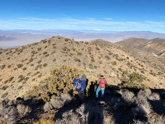

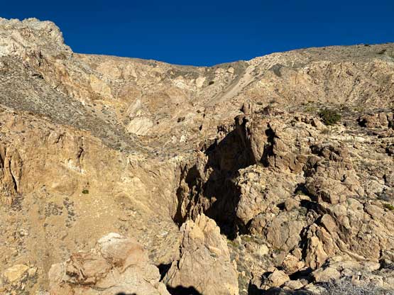
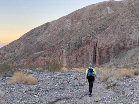
To descend the north summit we made a spontaneous decision to explore a new route straight down the west face. The main purpose was to short-cut distance but the terrain was extremely unpleasant. We did have some long scree runs but once the scree ran out we entered some choss mess. Rob and Sean stuck farther to the north while I basically boomed straight down, dealing with whatever terrain that threw on me. There was some class 3 on extremely loose ground and the other route was even slower than mine. Overall I probably would not recommend this alternate descent route unless one’s comfortable on loose terrain. To plod the final 10 km out of the washes/canyons we somehow got into a racing mode. We jogged probably more than half of the distance and eventually managed to beat the sunset. We finished the trip in under 7 hours round trip and even drove out of the dirt roads before dark.


After saying farewell to Sean, Rob and I drove north to Pahrump back into Nevada. We firstly went to secure a hotel room and then had a dinner in an Indian restaurant. That evening did not feel rushed so we could rest well for Pyramid Peak the next day.
