Calispell Peak
September 1, 2019
2089m
Pend Orielle River / NE Washington, WA
Calispell Peak may not boast much interest in hiking and scrambling community, but is an important summit in Washington state’s peak-bagging, from both prominence and isolation perspectives. The ascent is however, nothing but a characteristic drive-up on a maze of logging roads, just like the other similar peaks in NE Washington. In this particular case one can drive all the way to the summit with a HC 4×4 vehicle but the crawling is slow and very rough at places. This was the third objective of the last day of 2019 peak-bagging road trip between Adam and myself. We said farewell to Connor after bagging Snyder Hill and North Baldy earlier in the morning, and then said hello to James B. and his family not far from the base of Calispell Peak.
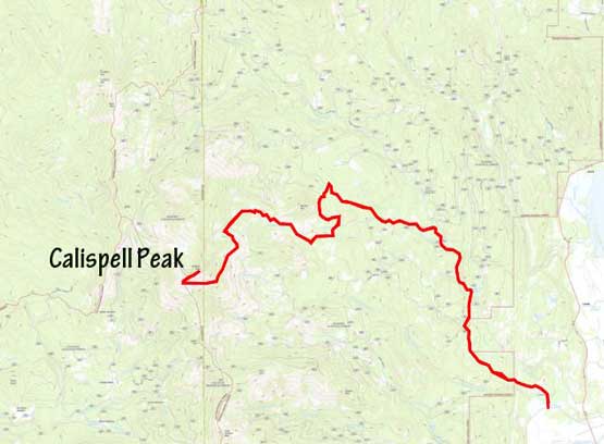
Calispell Peak drive-up. GPX DL
Both of our vehicles were very full so we had no choice but taking both Foresters up the logging roads. Connor warned us that the roads were incorrectly shown on the maps at the lower sections. There are multiple ways to start the initial sections but then a “key left turn” turned out to be totally decommissioned so we were forced to drive right (north) into unknown terrain. The maps showed we were driving towards the totally wrong direction but then after a while we were finally able to turn left onto another unmarked branch of road. This branch seemed to go towards the direction we wanted but had lots of downhill sections, that until it joined the previously planned route we were not 100% sure. The middle section of the drive had only one way to go but the road was narrow, steep and very rocky. For another time the ability of the Subaru Foresters impressed me that both vehicles managed to crawl over those rocks. The upper route was a total criss-cross of roads but at least the correct one was shown on both Gaia and CalTopo maps. We pushed to the last switchback high up on the SW Ridge and walked the last 15 minutes to the highest point.
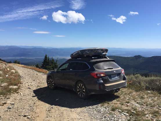
James’ Subaru high up on Calispell Peak

Our group walking up the last 300 m or so

Meanwhile we passed a group of Jeepers on their way down

Looking across Pend Orielle River valley towards North Baldy and South Baldy

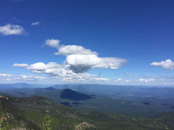
Partial Summit Panorama from Calispell Peak. Click to view large size.
This is a northern view. Abercrombie Mtn. on far left horizon
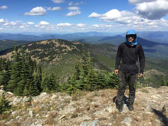
Me on the summit of Calispell Peak
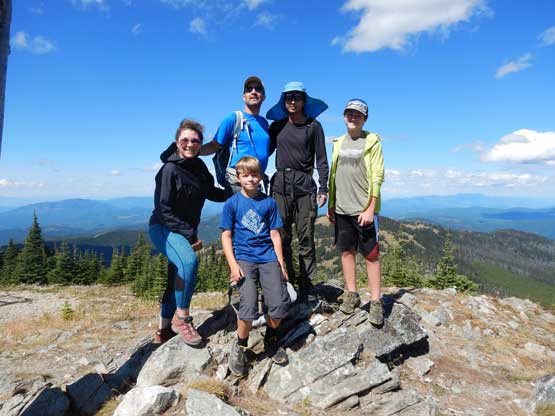
Our group shot on the summit of Calispell Peak. Photo by Adam W.
The peak seems like a popular destination for off-roading enthusiasts. We encountered a big group of lifted Jeepers while walking up the last stretch of road, and a few groups of ATVs on the way down. The drive-down was uneventful but took forever. The round trip time from the main highway was something like 3 hours with over 50 km distance, mostly on rough roads. Our next planned objective was Huckleberry Mountain but as we drove there we pulled an instant trigger to tag Chewelah Mountain as well.

A bit of road-walking on descent but mostly would be driving

Passing a family of ATVers
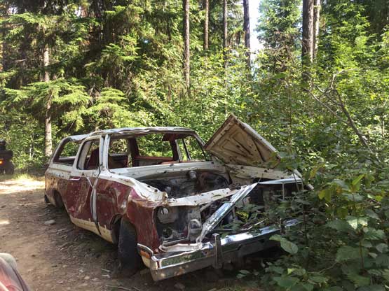
A characteristic burnt truck. If you see this you are on route…
