Paleface Mountain
July 13, 2020
1797m
Chilliwack Lake, BC
Paleface Mountain is one of the minor summits right next to Chilliwack Lake but offers some nice views of the BC Cascades. The peak itself is nothing but a walk-up and the access had been significantly improved in the last couple years thank to the new logging in Paleface Creek drainage. Earlier in this year the Paleface FSR had seen a huge fallen log blocking the road but with excellent work done by 4×4 enthusiasts the log’s been removed, and now with a high clearance 4WD vehicle one can drive to 1200 m elevation and the peak can be ascended in a mere couple hours. There’s a good trail leading up to “Paleface Pass” but from there one needs to do some cross country travel and bushwhack to reach the summit. The easiest route seems to be on the north side but there are multiple routes that all go.
This was once again, a last minute spontaneous decision that I literally didn’t make my mind until 7 pm in the previous evening. I sent a bunch of invitations and to my surprise, three dudes signed up – Gur, Val and a new friend from Calgary, John McMechan. John and I had been talking recently about the mountains and he happened to be in Abbotsford for some family time. The original plan was just to do Paleface Mtn. but we jacked up the ambition during the trip. The morning routine was a bit more complicated as I had to pick up all three of them, but wasn’t too bad. By 7:45 am we were all in my Tacoma heading east from Abbotsford. The drive down to Chilliwack Lake was uneventful but the Chilliwack Lake Road was in such a bad shape for millions of pot holes. It took a long while negotiating the shit show. The Paleface FSR was also not as smooth as I was hoping for with a dozen deep water bars. Thankfully none of them was problematic in my Tacoma.
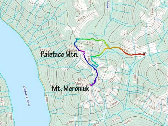
Paleface Mountain to Mt. Meroniuk traverse. GPX DL
From the parking spot we easily walked up the deactivated spur road and picked up the excellent trail heading for “Paleface Pass”. The pass was reached in no time, but after that we were confused for not doing much homework. I remembered beta from earlier in this year that the normal route of Paleface Mountain goes up from the north side. We found an old logging road on the north side of the pass but the road soon came to a dead end. From there we had to deal with some side-hilling and bushwhacking, that eventually merged onto a long stretch of boulder fields. None of these terrain was pleasant but the boulders were at least faster than the brushes. There seemed to have a steep cliff band to gain to the col north of Paleface Mtn., and without detailed information we decided to just pick our own route. The route we took was “class 3 vege belay”. The problem solving was actually quite fun, but the bushwhack was quite dense and the ground was extremely slippery.
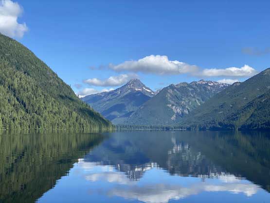
Williams Peak and Chilliwack Lake on the drive in

The gigantic log that had been finally cut recently on Paleface FSR

Taco parked at 1200 m
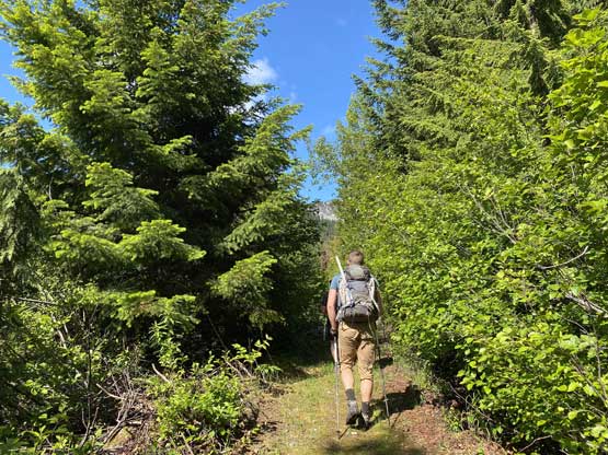
Starting the hike on an old logging road

Mt. Edgar to the south
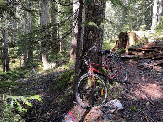
Someone ditched a bike here. I don’t understand why…
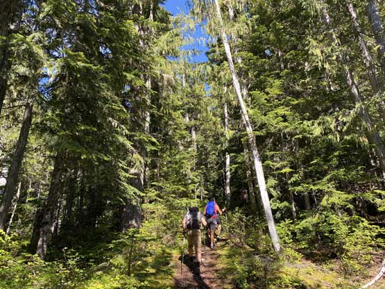
Excellent trail heading up to “Paleface Pass”

North side of the pass now, time to bushwhack

John negotiating the start of a long zone of boulder fields
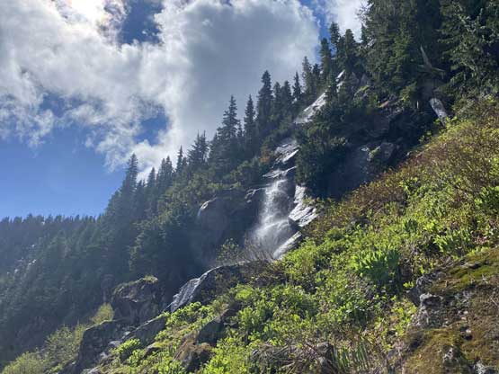
Waterfalls and steep cliff face that we must find a way up through

Val searching for a line
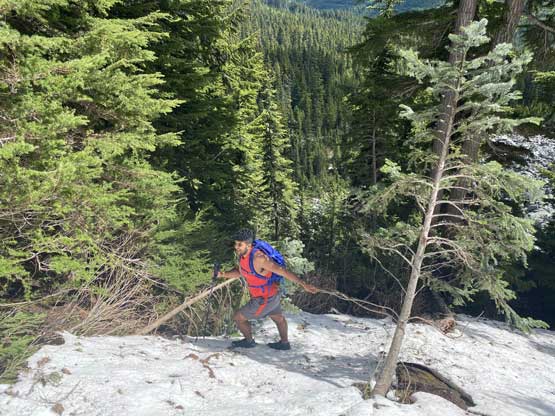
Gur traversing a patch of steep snow on trail runners…
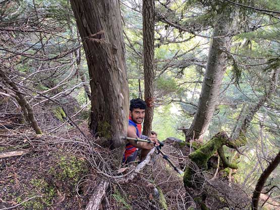
Gur climbing through steep forest
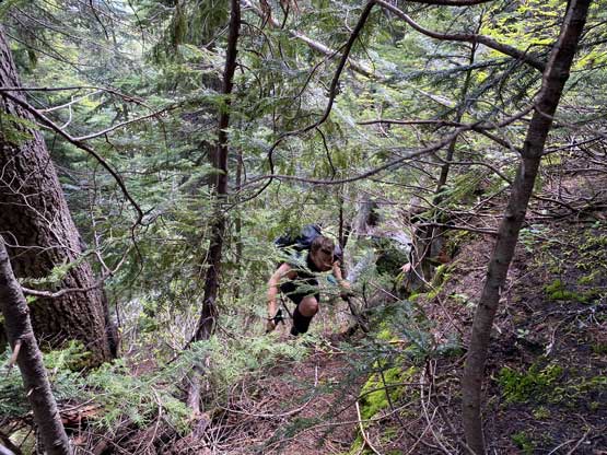
Val thrashing

It was dense, steep and bluffy

This section was extremely slippery and we just pulled up the heather
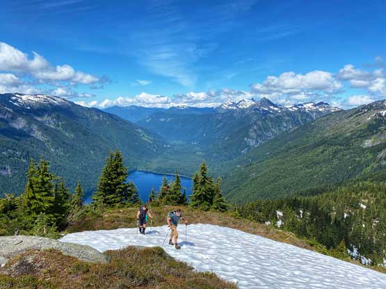
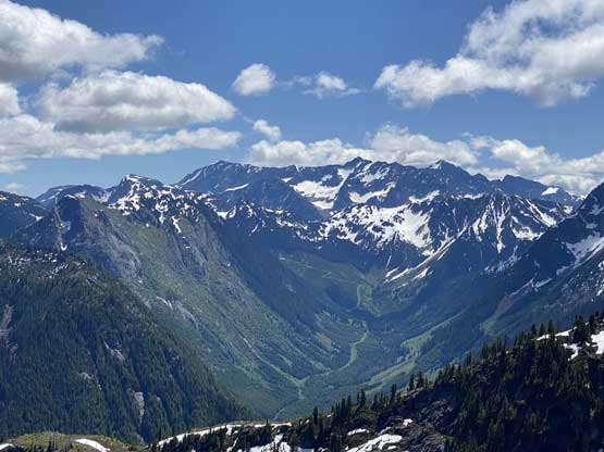
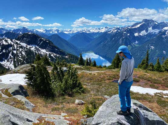
Once above the cliff band we took a break and then easily plodded on grass or snow to the summit. The view was pretty good, but as we learnt later the better view of the lake was from its south ridge and not from the very top.

Our gang heading up easy terrain now
John and Val approaching the summit of Paleface Mountain

Partial Summit Panorama from Paleface Mountain. Click to view large size.
John in front of BC’s “Custer Ridge”

Gur doing his Instagram thing on the summit of Paleface Mountain
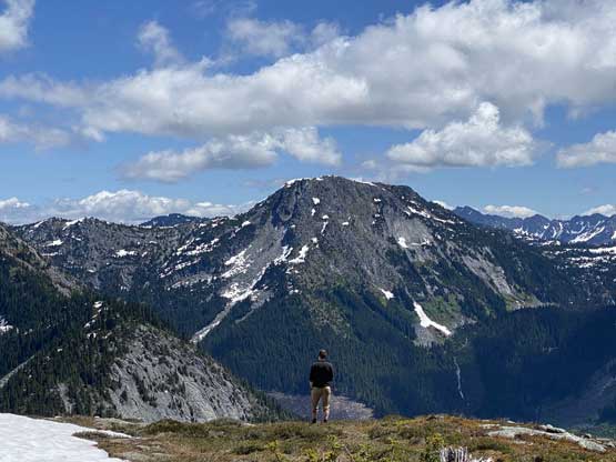
Thompson Peak in the distance
Looking far south into Washington’s Mt. Custer and Mt. Spickard
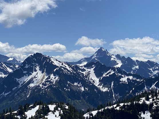
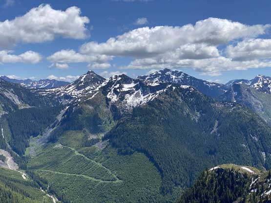
Mt. Redoubt looms behind Mt. Edgar

Mt. Lindeman is actually the most impressive peak around here…
Me on the summit of Paleface Mountain

Our group shot on the summit of Paleface Mountain
After a long while we decided to continue towards Mt. Meroniuk even though we again, didn’t have much information for not doing enough homework. It looked very doable with some question marks at the very end. The descent off Paleface Mountain’s south ridge was easy and scenic.
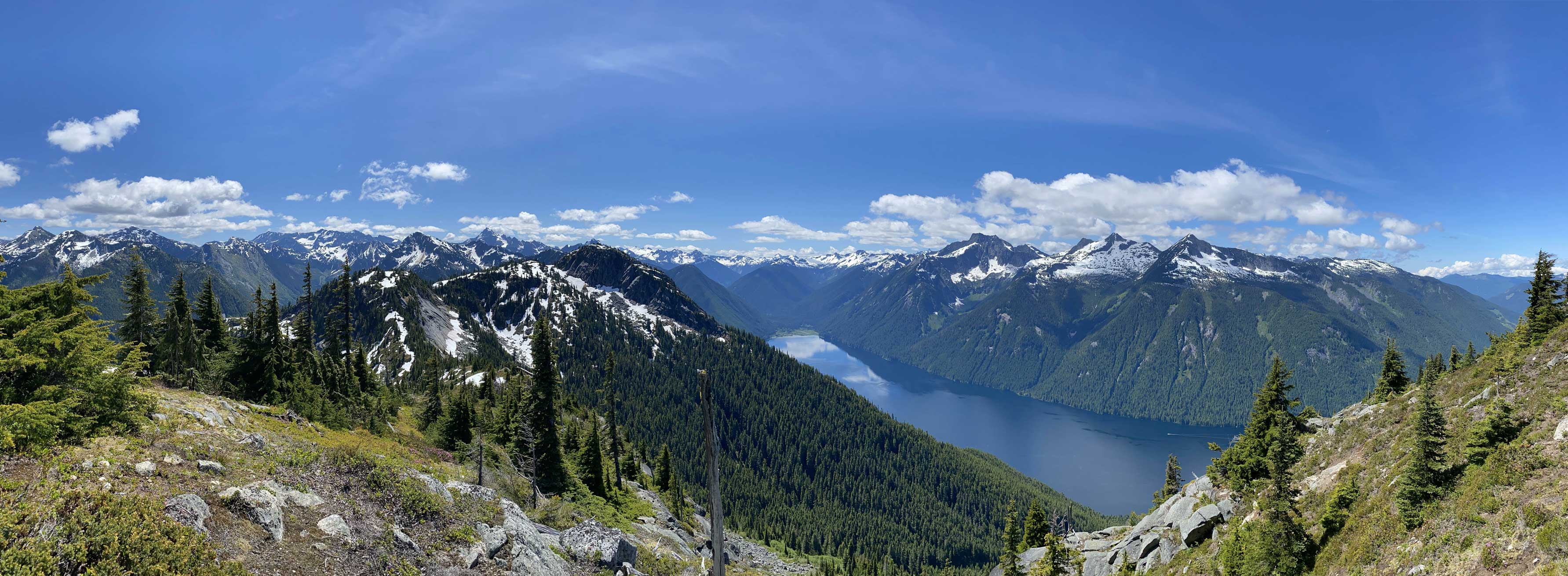
Partial Panorama view from partway down Paleface Mtn. Click to view large size.

The route traversing to Mt. Meroniuk ahead.

Mt. Lindeman and Chilliwack Lake
