Rum Ridge Peak
November 8, 2014
2538m
Ya-Ha-Tinda Ranch, AB
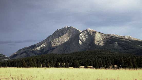
Most of the “small” peaks surrounding Ya-Ha-Tinda Ranch are either unofficially named or unnamed, and this one isn’t an exception. Ben, Vern and I did it as an extension from our primary objective, Evangeline Peak, as we still had lots of time to kill and weather held surprisingly well. We weren’t even sure about its name when making this decision. We noticed a trail-map on our descent and the lower bump just above treeline was labelled “Rum Ridge”. Now at home I did some quick Google and I couldn’t find any reference of this name. It seemed like “Poplar Ridge” being a more popular name but it’s clearly referring to a low-elevation trail, certainly not the peak above treeline. We prefer the name “Rum” as the trail-map we saw was from Alberta government, but the peak is essentially unnamed.
To make me feel better “claiming” its as a separate summit, “Rum Ridge Peak” is only 40 m lower in elevation than Evangeline, but situate 4 full kilometers away. It has prominence of more than 200 m and looks clearly like a separate mountain from valley floor. And the most important, it’s the most impressive-looking among this group (Evangeline Peak, Rum Ridge and the nearby Eagle Mountain) and offers the most challenging scrambling.
Evangeline Peak to Rum Ridge Peak scramble route. GPX DL
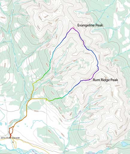
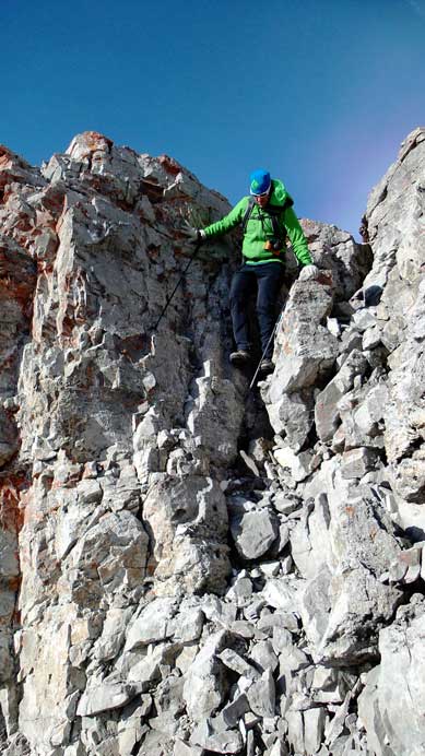
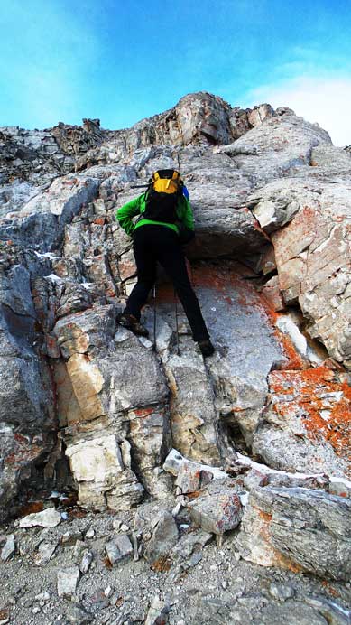
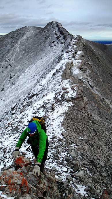
The connecting ridge from Evangeline to Rum was more involved than expected. We thought it’s going to be as tame as what we just did in the morning, but we were wrong. There were lots of up-and-downs with one major dip, along with a series of class 3 down-climbs. The ridge line was hammered by strong and cold wind as well. Nonetheless we managed to overcome one obstacle after another and made to the low col. Looking back our route looked ridiculously difficult. Up towards Rum we had to ascend very steep and loose scree mixed with some snow drifts. The traverse to true summit had a few short scrambling sections but nothing major. There are two highpoints at roughly same height so we ascended them both.
Vern descending a steeper step
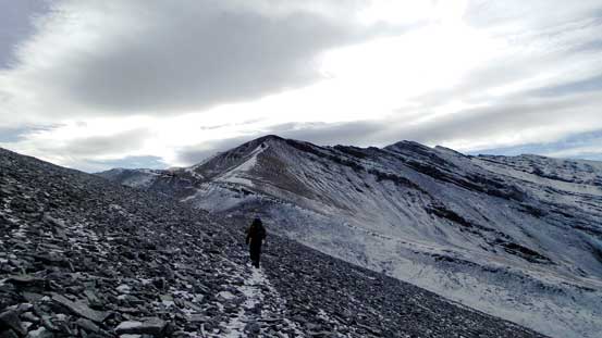
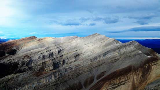
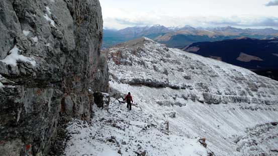
The connecting ridge is longer than more undulating then appears

A view looking towards the Ranch (the grassland area).
Another down-climb
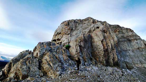
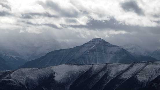
This’s the major obstacle between Evangeline and Rum
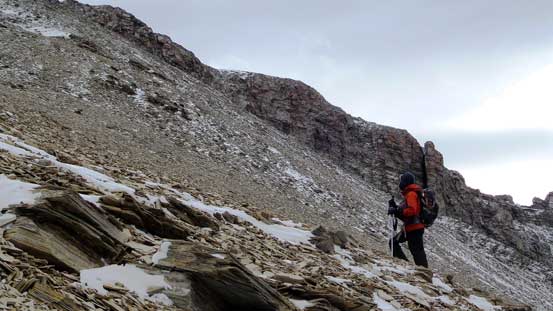
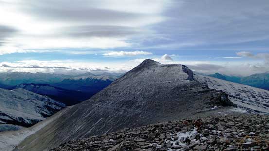
Ascending towards Rum. Later we’d need to traverse the right-hand skyline ridge
Looking back towards Evangeline
Ben ascending steep scree
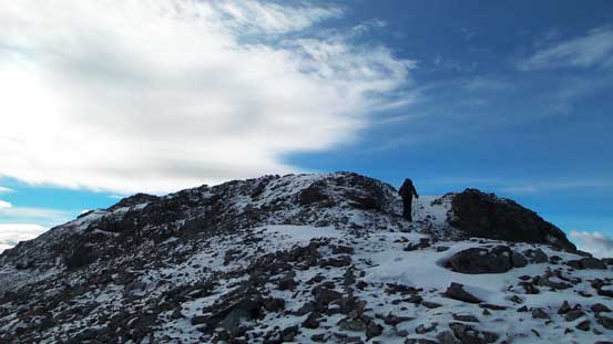
The true summit

Vern ascending towards the true summit, with false summit behind
Ben near the true summit
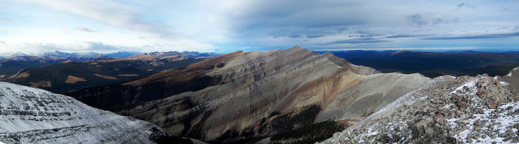
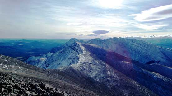
Panorama from Rum Ridge Peak. Click to view large size.

Another panorama. Click to view large size.
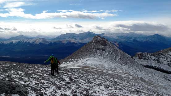
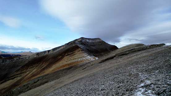
The next bump appeared to be equally high, we we had to ascend it as well.
A zoomed-in view of Dormer Mountain

Black Rock Mountain and peaks in the Ghost

A zooming-out view towards the Ghost
Evangeline Peak which we ascended earlier in this day
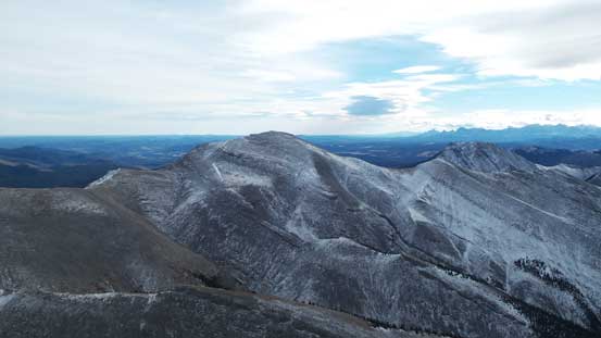
This is unofficially named “Eagle Mountain”, further down the ridge. If it’s a beautiful summer day we’d probably traverse it as well.
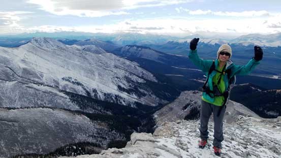
Me on the summit of “Rum Ridge Peak”
One advantage of linking Evangeline with Rum was the two peaks make a natural horseshoe traverse. By descending Rum Ridge we’d join our approach trail much closer to the parking lot. The technical crux was just after the true summit of Rum as we had to either negotiating exposed and wet ridge-crest (more like a dragon’s spine), or side-hilling on some awkward and slipper terrain just beneath it. We started with side-hilling but soon realized staying on the spine was the better choice. Some sections were fairly exposed.
Side-hilling beneath the spine. We soon had to ascend back onto the crest.
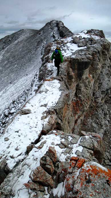
At sections it’s fairly exposed, and slippery…
Vern ascending a step, with the spine in the background.
After negotiating the spine, terrain started to look very similar to what Evangeline offered. It’s simply putting one foot in front of another but the scree wasn’t quite loose. It was a little bit hard on our knees and we were all pleased with the nice-and-soft ground once dipping down below treeline. Bushwhacking wasn’t too bad neither. Lower down we joined the Poplar Ridge Trail and followed it rejoining our main approach trail/road. There were a few not-so-clearly signed junctions and we got temporarily lost. Thankfully Ben did a quick GPS check and corrected ourselves.
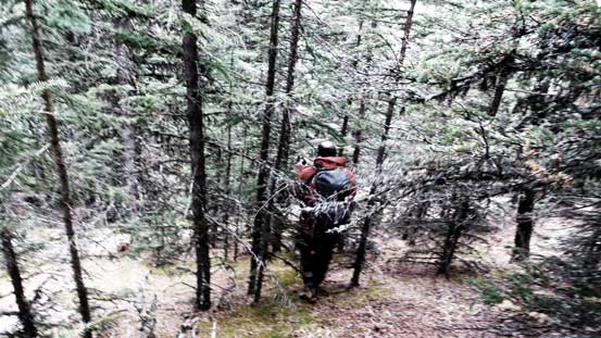
Bushwhacking down the typical forest
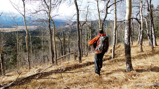
Back to the open forest
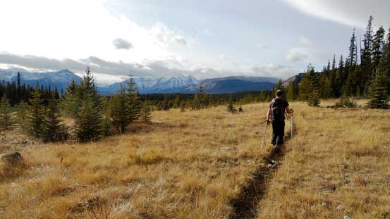
We picked up Poplar Ridge Trail
Looking back on Poplar Ridge Trail
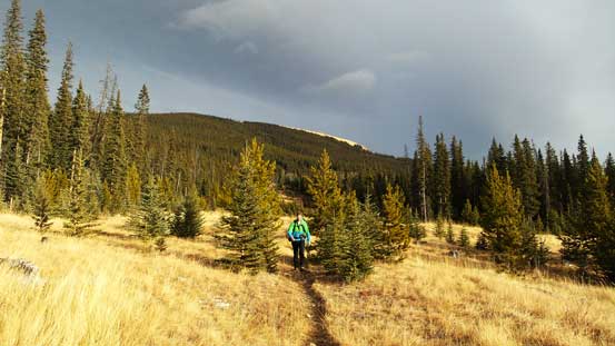
Re-joining the main approach road/trail
Great view of Maze Peak
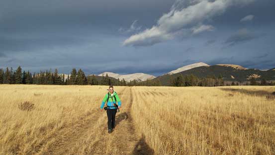
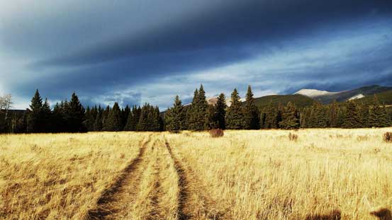
Hiking-out
Overall it was a great trip wrapping-up our fall hiking season. Our round trip time was 7.5 hours covering more than 21 km distance and near 1500 m height gain. With the major snow storm things would change rapidly and we’d see what’s going to happen next.
