Rodger Hill and Sugarloaf (Fidalgo Island)
March 10, 2024
171m
Fidalgo Island, WA
Kate and I were about to travel to Guatemala for two weeks of peak-bagging and we booked our flights from Seattle as it’s much cheaper to fly from there. My parents volunteered to drop us off at the SeaTac airport and our flight was in the evening. This meant we would have the majority of the travel day available to bag some peaks along the I-5 corridor. It’s a Sunday, so I had no work obligation. The weather unfortunately, did not cooperate but did show a drier pocket around Fidalgo Island. I still had a few leftover objectives in the area and the plan was to check out Rodger Hill first. This one is basically a drive-up and boasts over 100 m prominence, but locates inside some private properties so there’s some uncertainties as we wouldn’t be trespassing in the middle of the night. If we somehow get caught on their private driveway then we would have to turn around, and the plan B would be either Sugarloaf, the northern sub-summit of Mt. Erie, of a bushwhack up Bowman Hill right next to Deception Pass.

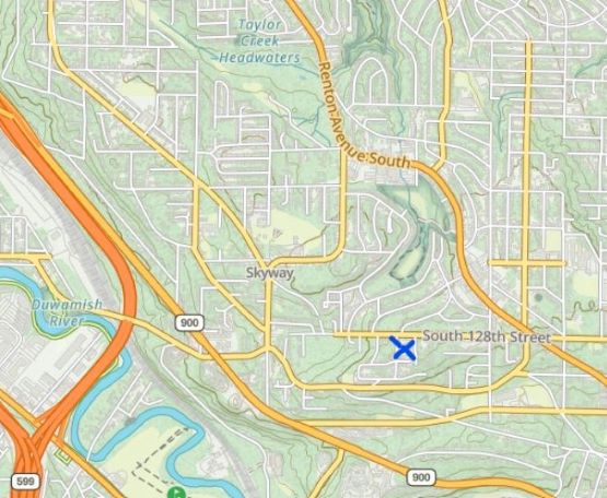
I decided to leave Kate’s house in White Rock at 10:20 am and the plan was made to have multiple hours of contingency to take in account of unforeseen traffic issues. If we did get to SeaTac quicker than expected then I had a third objective in mind, but more on that later. All four of us hold the Nexus cards so the border crossing was without event. The drive from White Rock to Fidalgo Island took 1.5 hours and the weather was actually even better than forecasted. The private road (Taggart Quarry Road) did have a sign at the bottom saying “no trespassing” but was not gated, so I easily drove us up to the summit area in the Corolla. There’s plenty of space to park and the true summit is a short scramble away. There’s enough clearing on the summit such that we even got a bit of views. There are at least 10 residential houses on various parts of this road so I doubt if they can tell the difference between trespassing and visiting a family up there. As a result I don’t think this peak is troublesome for us peak-baggers, until someone decides to build an actual house on the very top of the hill, which might happen in the near future.

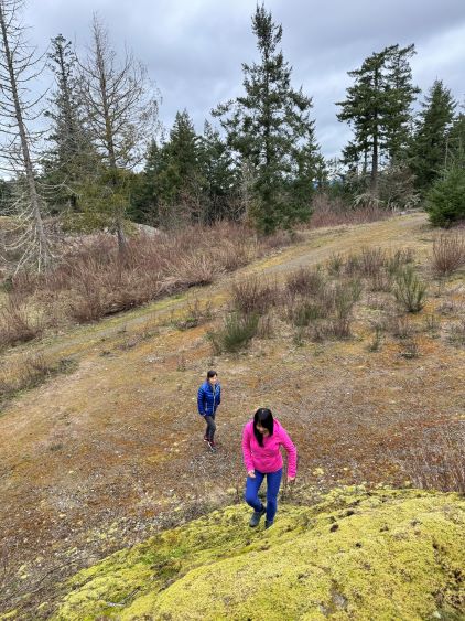
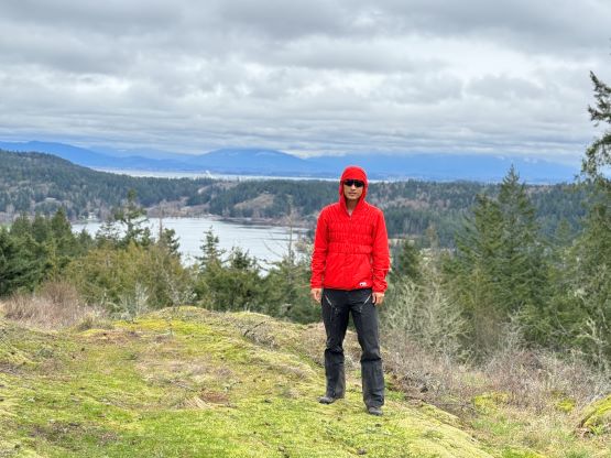


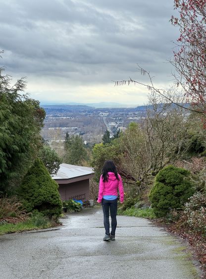
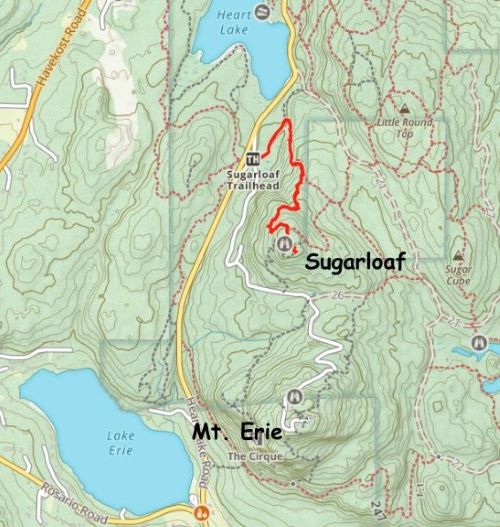
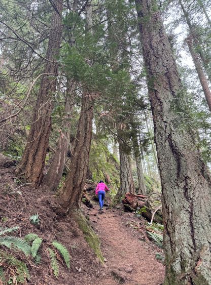
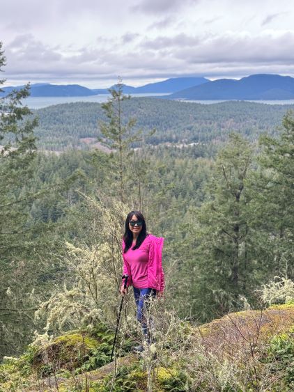
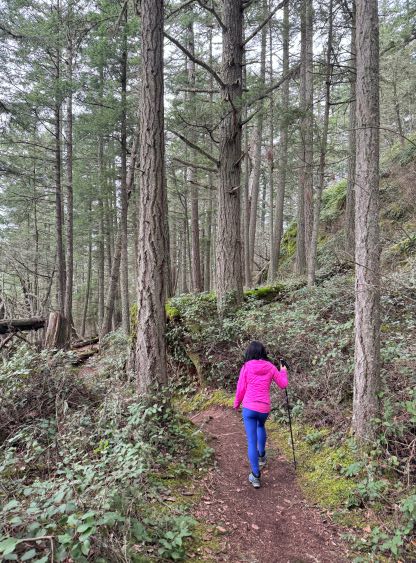
We were doing good on time so I made the in-situ decision to hike Sugarloaf as well. The drive from Rodger Hill to Sugarloaf’s trail-head took about 15 minutes and the parking lot was almost full. This is a mere sub-summit of the much-bigger Mt. Erie that does not boast more than 100 m prominence, but the name is official and the hike is supposed to be worthwhile. The most logical way of tagging Sugarloaf would be to combine with an ascent of Mt. Erie but I had already bagged the taller neighbour back in 2015. Kate and I simply dashed up the well-defined trail in a no-brainer fashion. There’s more than 200 m elevation gain so the hike was longer than I thought. The true summit requires a short bushwhack to get to, whereas the trail leads to the viewpoint south of the summit. We then jogged down and finished the round trip in just over 40 minutes.


I was on the fence whether or not should we attempt the 3rd objective but since we were going to SeaTac anyway we just had to bag a P100m objective in the vicinity to justify the long drive. I had two objectives in mind and eventually decided on the shittier one, “Black Water Benchmark”. There’s nothing worth noting as we drove to the top. The true summit is arbitrary and could be in one of the few houses’ backyards. Nobody seemed to be at home so I did walk around to make sure I tagged the highest ground that boasts 140 m prominence. We had driven through periods of heavy rain in the vicinity of Seattle but the “ascent” was surprisingly a dry one. This “peak” could not justify a separate trip report in its own as it’s probably one of the least worthy dumpster-dives I’ve done. We then drove to the airport and I’m currently writing the trip report while waiting for the flight.