Mount Tzouhalem
February 5, 2022
502m
Vancouver Island, BC
Mt. Tzouhalem is by no doubt the most popular objective in the North Cowichan region of southern Vancouver Island as the entire hill is riddled with (gated) roads and mountain biking trails. The official name of this peak is labelled on a bump about 1 km to the north of the true summit. I only bothered to check out the true summit in this trip, as this looked to be far better than that officially-named viewless bump. This was the lowest of the five peaks bagged in this day, but is definitely my favourate, both from the views and the riding perspective. Earlier in the day I had ascended Mt. Prevost, Big Sicker Mountain and Maple Mountain. I followed Google’s direction to the main Mt. Tzouhalem trail-head, which is literally behind some people’s backyards.
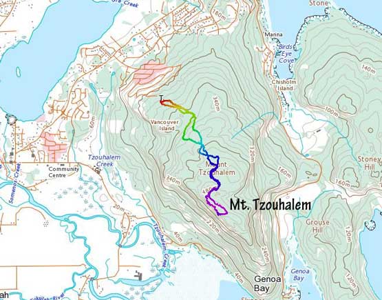
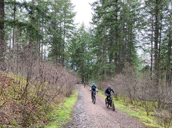
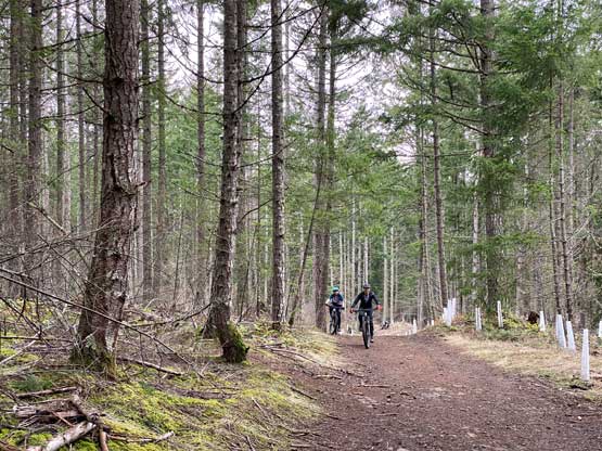
The parking lot was extremely busy but I did manage to squeeze into a spot to park the truck. At least 20, if not 50 other bikers were chatting at the parking lot. This time the mainline was also very busy with bikers as that seemed like the efficient uphill route on this mountain. A group-of-two was following me closely from behind so I made a goal to not let them pass me. Considering how little experience I had on uphill biking this was surely a challenging goal. At the junction with the “Old ML. (Mainline)” I checked the map and took the shorter, but steeper old road but the other two also followed me. No one else was taking this road and I soon understood as this road’s grade was a wee bit too steep for comfort uphill biking. Normally I would just walk the bike up, but considering the two bikers behind I decided to pedal as hard as I could in the lowest gear. In the end I did manage to pedal the whole way up except for one short rocky stretch near the end, and I also succeeded on the goal to not let the other group to pass.
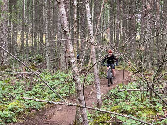
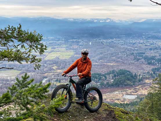
The road does not go all the way to the summit so I had to take one of the side trails onto the “Rocky Mountain Ridge” trail that basically traverses the summit ridge. I wanted to traverse the entire stretch of that summit ridge to not miss a single viewpoint, so soon I realized at least the northern portion of this trail was built for downhill biking. A few spots were definitely not doable on the uphill so I just pushed the bike to the summit. While traversing SE down the ridge I did manage to ride most of it and I stopped frequently to check out the views. I settled on a few viewpoints to spend at least half an hour playing with the camera’s timer. Taking photos for myself and the bike was definitely not an easy task when I was the only person on the summit, but with some patience I did get some satisfactory results.
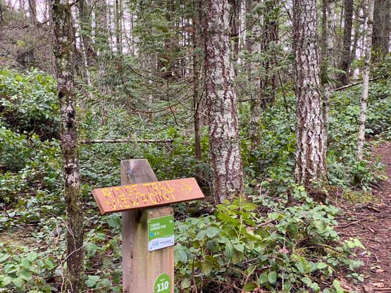


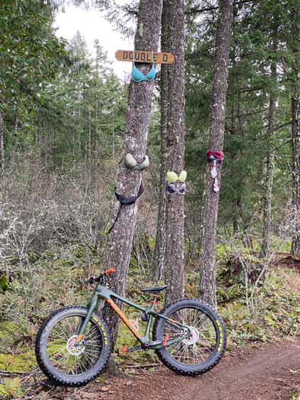
I rode to the far SE end of the summit ridge before dropping down to the old (overgrown) road. I then rode the road down but as soon as I saw that sign “Double D” I made a spontaneous decision to ride the singletrack down. This trail was rated “blue” on the markers but the grade didn’t look too steep on the map (it’s labelled on my Gaia map). It turned out to be an extremely fun experience with nothing too challenging. There were a few blowout spots but I managed to ride the entire way down to the parking lot without having to step off the bike. I checked the time and the ferry schedule. I still had about 2 hours of daylight time and I decided on Mt. Wood, another P300m objective to the south.