The Gargoyles
October 11, 2009
1823m
Garibaldi Provincial Park, BC
The Gargoyles is one of the minor peaks just south of the mighty Mt. Garibaldi on the southern part of its namesake park. There’s an official hiking trail leading to the high col (within 100 vertical meters from the top) from there on it’s mostly a hike on scree. This peak and the few nearby ones are also often done on skis/snowshoes in winter.
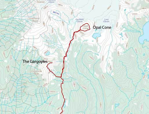
Opal Cone and The Gargoyles hiking route
After getting excellent views from Opal Cone, dad and I still had some time to kill. Well, it was already getting late, but I didn’t feel having enough for this day, so I decided to hike up to The Saddle, since it’s right there. Dad was getting slower and he would be following me on his own pace. To get there involved quite a bit of elevation gain. Even just The Saddle (Columnar/Gargoyles saddle) was higher than Opal Cone. I obviously underestimated the time needed to get there. Once topping out at the col, I got excellent view towards Tantalus Range. Now looking right, I decided to hike up The Gargoyles. There was a well-beaten trail, but it was on scree, and I didn’t feel comfortable on loose terrain at all. I barely struggled to its top but I didn’t stay long because I didn’t know where dad was, and I was really worrying about the descent. I basically butt-slide all the way down the scree, feeling more nervous than I should… I rejoined dad at the Saddle. Now, the sun was really getting low, and we still had a long distance to cover and we were almost guaranteed to spend a good 1 or 2 hours in dark.
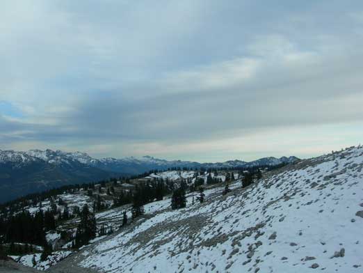
View opened up above treeline
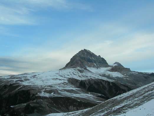
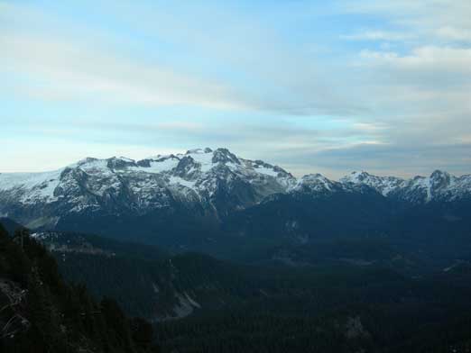
Atwell Peak is always impressive
Columnar Peak from the saddle
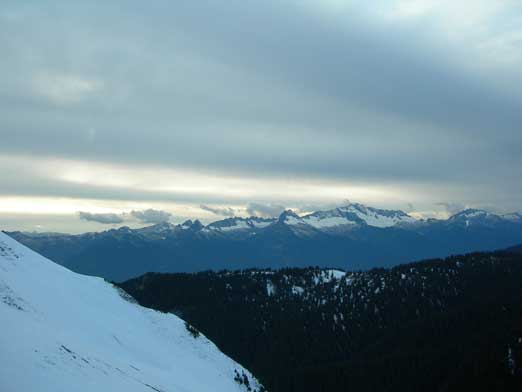
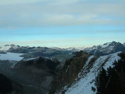
Tantalus Range
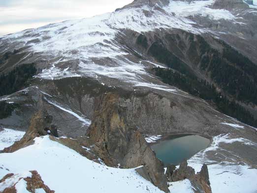
An interesting looking tarn seen from the summit

A wide shot of this tarn, with Atwell Peak behind
Looking towards Sky Pilot Mountain from the summit
Mamquam Mountains
Looking down towards Opal Cone

Panorama view from the summit.
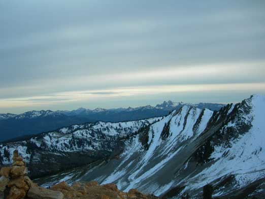
Looking over the false summit of Columnar. Its true summit is on the far left of this photo.
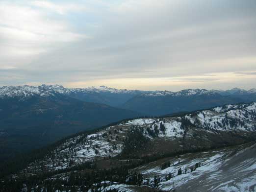
Looking over Paul Ridge (in the foreground)
We hurried down to rejoin Elfin Lakes Trail, following it up and over Paul Ridge, descending to Red Heather Meadows. It was really dark now but none of us had head-lamp. We did bring up a cell phone and a mini flash light, and they guided us in the next 1 or 2 hours back to parking lot.
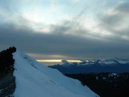
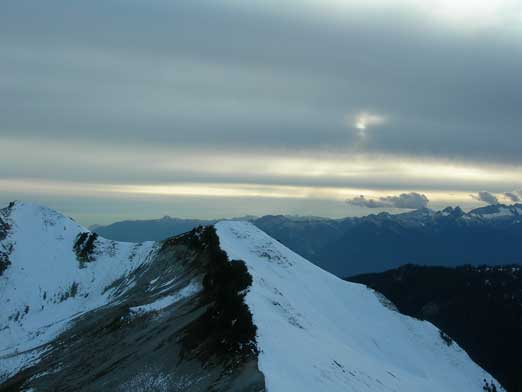
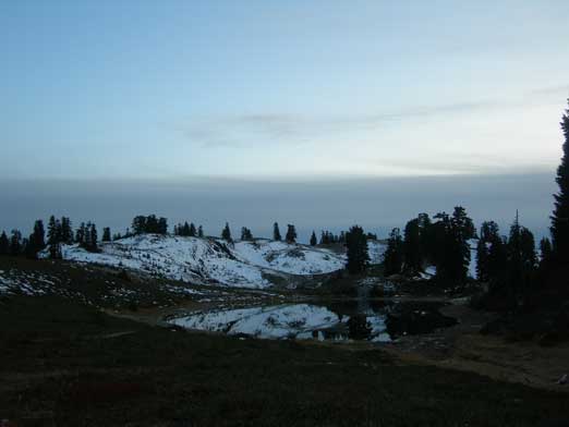
The sun was really getting down
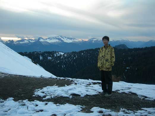
Me at the saddle
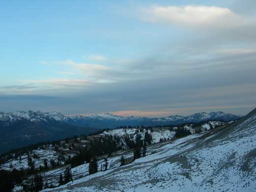
Already some evening colours showing up
Back to Elfin Lakes
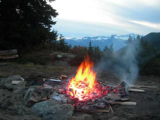
Someone’s camp fire
It was surely a very long day out covering more than 40 km distance. I think given the gears we had at that time we did pretty well. Now as a peak-bagger I’ll for sure come back to this beautiful place. The biggest prize is obviously Atwell Peak itself but there’re many more to ascend and explore with equally exciting views.
