Kamelogon (Nakugen)
January 2, 2024
3530m
Kenya
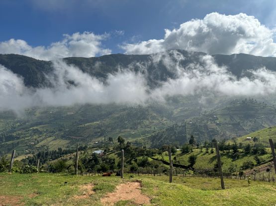
Kamelogon is the highest peak of a large plateau known as the Cherangani Hills and subsequently boasts over 1500 m prominence. This is actually one of the taller peaks in Kenya even though it offers zero mountaineering interest. Most of the area is used for agriculture and there are (bad) roads everywhere. This is one of those peaks that the logistics and the drive is ten times harder than the ascent itself. This is very different than the peaks back in my home region on the other side of the world, but I like this kind of adventures. This peak is also named “Nakugen” on peakbagger.com but nobody in the local areas including our guides from African Ascents was aware of “Nakugen” and the highest peak in Cherangani Hills had always been called “Kamelogon”. However, talking to Petter B. later we realized the name “Nakugen” was from an old Kenyan guidebook by Paul Clarke. In which “Kamelogon” is referred to the south peak whereas the true summit is called “Nakugen”. I’m confused. It’s either one or the other, whichever you prefer.
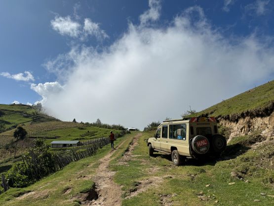
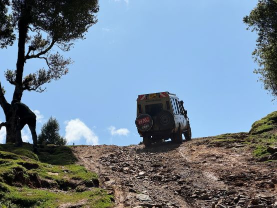
This peak can be accessed from a few sides but the easiest way is to drive in from Kitale to the SW. This route however, requires basically an additional day of driving and we did not like that. This was supposed to be the 5th “ultra” in this trip and we wanted to get it done immediately after Mt. Mtelo on the following day. We did plan a contingency day because there’s a bit of uncertainties associated with Kamelogon, but we had to aim for the best case scenario. About two years ago Julian had guided another group taking a “short cut” down the north side and he stated that we could not have driven up that way. That road was the scariest driving he’d ever done in his life and that statement meant something. Julian, together with Elijah had put in some research and found an alternate road that also comes in from the north, near the village of Sebit. Through some of their contacts it was said to be “not too bad”, so we would put our fate on that road. Of course none of us had ever driven up (or down) this road so this was essentially a gamble. The result was mostly as I thought. It was very steep and rough with a few crux sections that required us to get off the vehicle and walk. Had it rained a tiny bit more we would have been in trouble, but we were lucky. This was easily the worst road I’ve ever been to but the Landcruiser together with Julian’s skill and boldness made it possible. We eventually joined the roads that come in from the SW and were even back on pavements briefly. We picked up our local guide and drove to the village at the start of the route and we were still on the “best case scenario”.
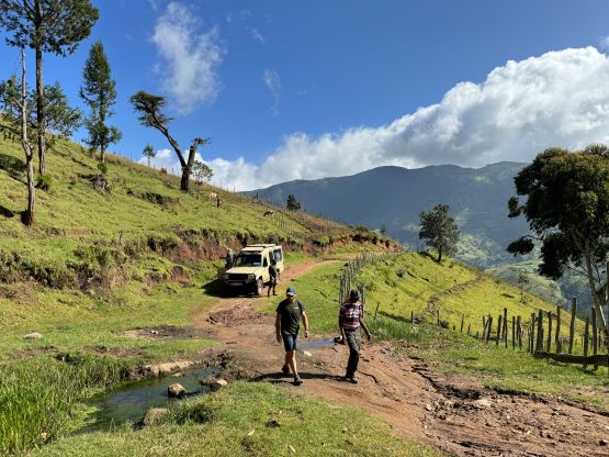


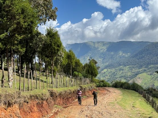
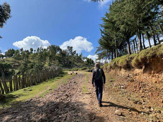
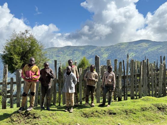

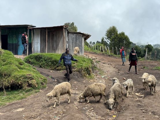
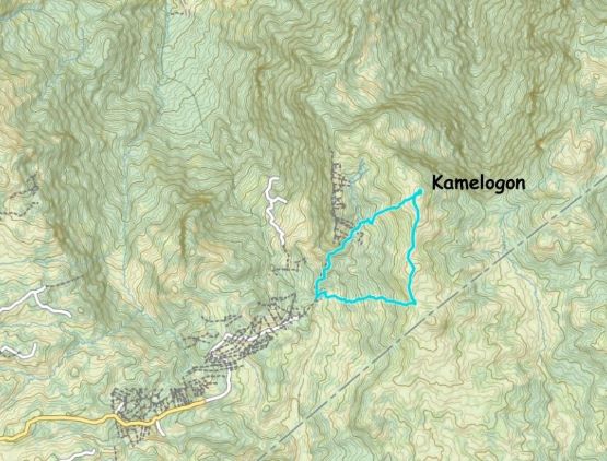
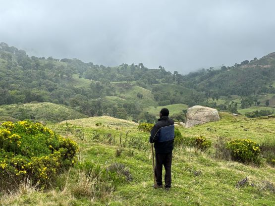
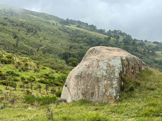
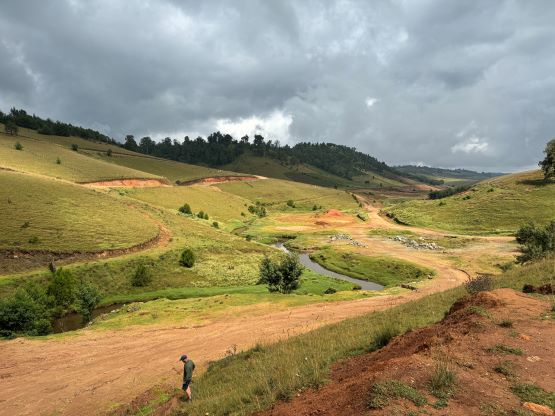
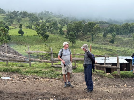
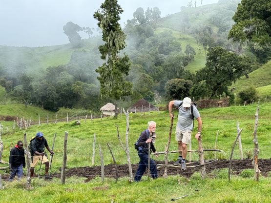
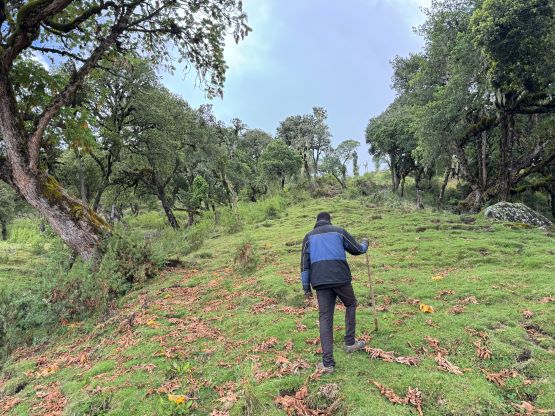
We parked at the exact same spot where Deividas/Dave’s group parked two years ago, so we were about an hour away from the summit via the SW slopes. This route is significantly shorter than the south ridge route that Adam and Petter took in Feb. 2020. I honestly had no clue why they opted for that long route that essentially turned a half day stroll into an overnight expedition. The roads are all (correctly) shown on the Gaia map. Our route does however involves “trespassing” into a maze of farmlands so it was essential to have the local guides showing the way. I’m sure the guide had asked for our permission as we literally hopped across at least 15 barbed wire fences but nobody seemed to come to fuss with us. There were actually two local guides and Elijah would also come along with us. Julian opted to stay behind to guard the vehicle. The faster of the two local guides kept directing us to traverse climber’s right and I was confused. I thought it was to avoid bushwhacking in the forest but we later realized that he was actually aiming for the south summit thinking that’s the actual high point. We eventually crested the ridge and corrected his mistake. This guide then recalled that about two years ago, another group showed up and did the north summit. Rob, Alastair and I explained that we wanted to do the same as the north peak is definitely higher. There’s a new road traversing the undulating south ridge so our plodding was considerably faster than expected, that in short time we all made the summit. The highest point required a short thrash to reach. The guides explained that this road was built recently so that the government could step in if there’s another conflict between the two nearby tribes. When Deividas etc. came there was some tension between the tribes and they were actually told to hire 15 rangers with guns for safety. They had somehow bypassed that but the political situation is definitely not always stable here.


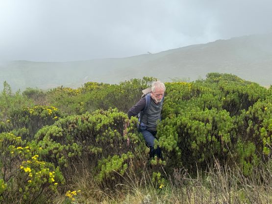


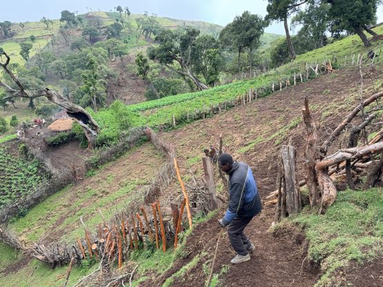
The guides had realized their mistake directing us towards the lower south summit, so they assured us that we’d be taking the shortest possible way on the descent. They did guide us down the most efficient way, taking more or less a direct line from the summit down towards the village. There were more farmlands and barbed wire fences to cross. About halfway down we crossed a stream and did a bit of re-ascending. The rest of the descent was done by plodding on yet, another road. I’m not sure if this road connects with the one traversing the summit ridge, but in any case we finished the round trip in about 2 hours 10 minutes. Not doing much lingering we drove out of the village and down SW gradually towards Kitale. That would be our destination for the night. The drive took a few more hours and I was mostly napping in the vehicle. We eventually got to Kitale in mid-afternoon and checked into the hotel. This would be the last comfortable stay before going for a few nights of tent camping.