Frontier Peak
August 23, 2015
2682m
Mt. Robson Provincial Park, BC
Among the 4 connecting peaks from Mt. Fitzwilliam to Mt. Clairvaux by Fitzwilliam Basin on the eastern edge of Mt. Robson Provincial Park, Frontier Peak is the lowest and the least interesting. Maury and I ascended its NW Ridge and descended the complex SE Ridge as part of our grand 4-peak traverse in one very long day. Earlier in the day as had already went up Mt. Fitzwilliam and then Bucephalus Peak.
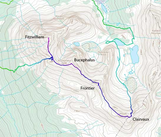
The traverse route from Fitzwilliam to Clairvaux. GPX DL
The ascent of the NW Ridge from Bucephalus/Frontier col was nothing tricky – mostly Class 2 scrambling negotiating the endless boulder field. The boulders were little bigger near the summit and a few harder moves were required.

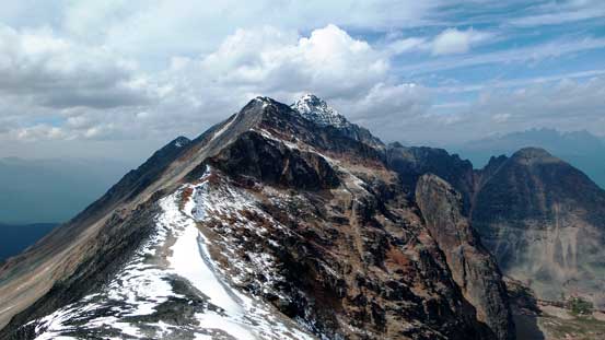
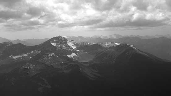
Frontier Peak seen from Bucephalus/Frontier col

Near the summit of Frontier Peak
Looking back towards Bucephalus Peak

Maury approaching the summit
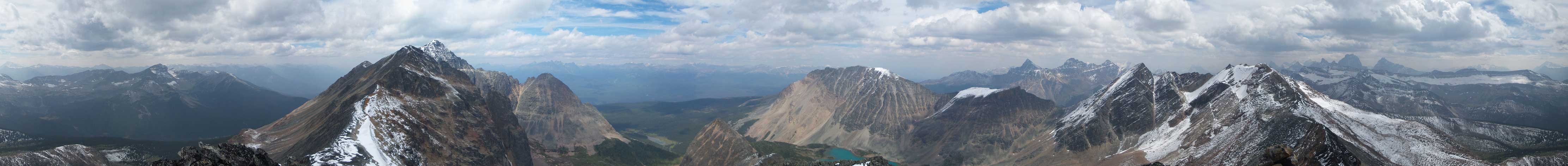
Summit Panorama. Click to view large size.

Mt. Clairvaux where we’d go next

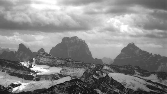
Kataka Mountain is another major peak by Fitzwilliam Basin
Halloway Rock

Bucephalus Peak and Mt. Fitzwilliam
Waddington Peak across Rockingham Creek
Mt. Geikie
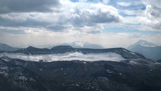
This long ridge is Glacis Ridge
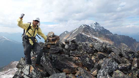
Me on the summit of Frontier Peak

Maury on the summit
The exciting part of reaching this summit was actually seeing the other side. At this point we had made the decision to extend our day all the way to Mt. Clairvaux so that meant we had to descend the SE Ridge towards the connecting col. Upon inspection we found no easy route down, but with Maury carefully leading and picking a line we managed to stay on “reasonable” ground. A few spots were pushing my limits a bit and felt like probably 5.5 and fairly exposed. There’s a chance we didn’t pick the easiest line down but from my limited observation I doubt there’s any easier route unless you want to do some lengthy side-hill detours with considerable amount of elevation regain.
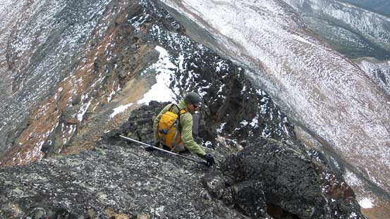
Well, time to find a way down the opposite side… It all looked steep
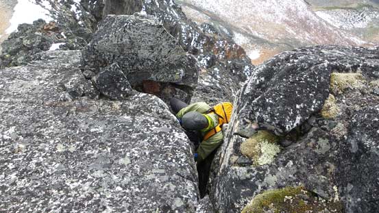
One of the 5th class down-climbs
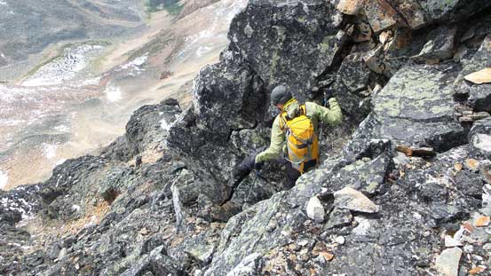
More committing terrain but it’s getting easier now

Another view of Kataka Mountain and the lakes by Fitzwilliam Basin
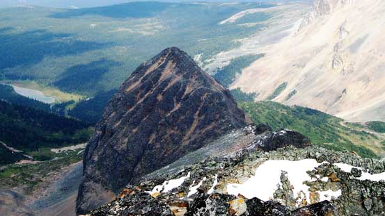
Looking back at Frontier Peak. We went down skier’s right of the rib

Further along the ridge, looking back

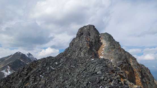
Mt. Clairvaux ahead
So it took us a long while to safely negotiate the complex terrain, and now we were at Frontier/Clairvaux col. The ascent of Mt. Clairvaux didn’t look any harder than what we just did, but the full traverse of that peak turned out to be the real adventure on this day with solid pushing-through on sustained technical terrain.
