Baldy Mountain
June 6, 2021
2309m
Osoyoos, BC
Baldy Mountain is the highest peak of a rather large area to the east of the “southern Okanagan” with some decent isolation and prominence, and the peak itself boasts a ski resort because it’s tall enough to accumulate snow in the winter months. From peak-bagging perspective this is an easy drive-and-grab that can be done in 2 hours return from the ski resort village, but such is only possible in summer when the resort isn’t in operation.
This was the third peak that I bagged last weekend when I decided to drive all the way to Osoyoos for just a day-trip. The whole purpose was to drive away from the dreary coastal weather and I did succeed on that. Earlier in the day I had done “Crying Peak” and Mt. Kruger. I finished those two hikes at 9 am in the morning and the weather was still sunny (the forecast called for rain in the afternoon). The original plan was to drive home afterwards but with this sunny weather I just needed to do another hike. I firstly drove to Osoyoos for some food in the A&W and double-checked with the weather forecast. I remembered an easy but prominent peak called “Baldy Mountain” and after some brief research I spontaneously decided to head there even though that meant an extra hour of driving in the opposite direction of home.

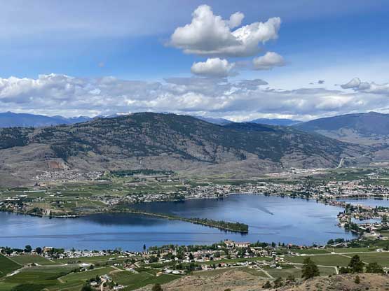
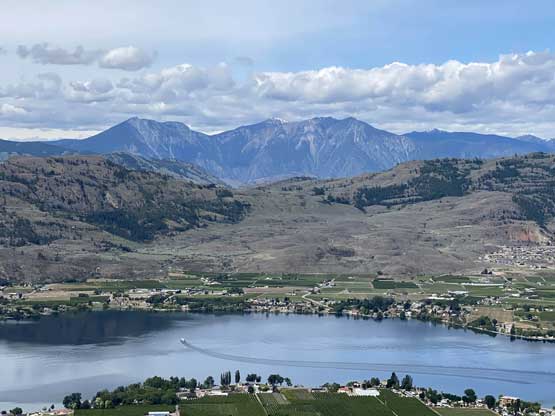
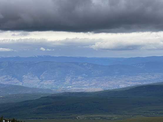
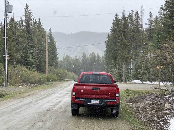
The switchbacks on Highway 3 immediately to the east of Osoyoos surprisingly offered some fine views so upon reaching the highest switchback I pulled over and took some photos of the valley. The rest of the drive to Baldy Mountain Village was rather boring. The final 15 km or so was on a maintained gravel road. It’s apparent that this resort is a quiet place in the summer months as I even had to search around for a spot to park. I aimed for the highest driveable spot on the map but there was plenty of “no parking” signs, so I backtracked a few hundred meters and parked on the street. I don’t think that’s the correct place to park but I did not see a “no parking” nor “private property” sign within eyesight and that was good enough for me.

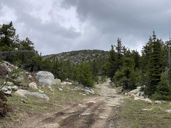
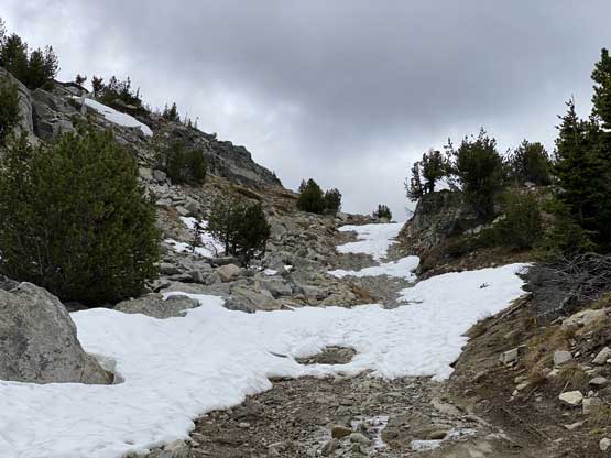
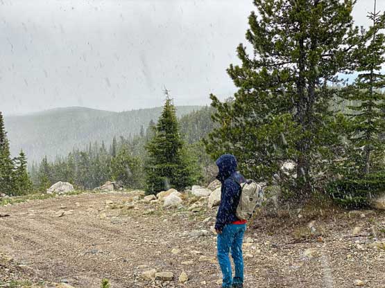
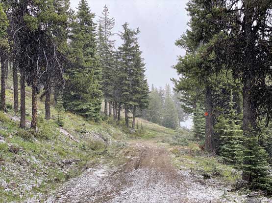
For the ascent there’s nothing rocket science. I sure could have picked a shorter line linking up some ski runs but with the bear encounter I just had on Mt. Kruger I decided to no fuss around with any into-the-grass travel. There’s a road from the village to the summit and I’d use no other option, even though it’s a bit meandering and less direct. There’s still a bit over 500 m elevation gain even though the peak looked to be really close. I would assume there’s a lot of snow at this elevation in early June but it turned out that I did not encounter snow until the last 50 m gain. It took me an hour to hike to the summit. This was a very boring hike but the views weren’t bad.
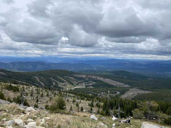
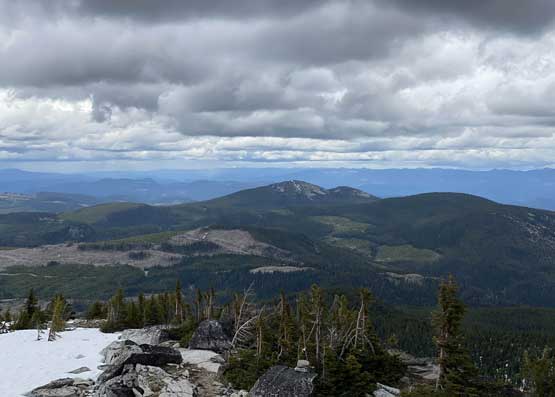

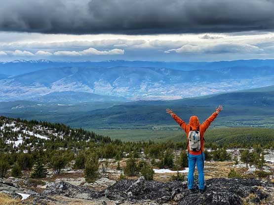
I did not linger too long up there because dark clouds were already building around us and it had turned 100% overcast. After losing a few hundred meters of elevation the precipitation finally came in dumping a good 5+ cm of fresh snow. I thought it was hailing but I did not hear any thunder.

While driving down the Baldy Mountain Road back towards Highway 3 I became super tired so I pulled over and took a nap. An hour later I got up again and drove back down to Osoyoos. The weather was still cloudy so I decided against in hiking a 4th objective and started the long ass drive back home. My next rest break was just after Priceton and the next break was already in Abbotsford. I eventually got back to White Rock at 9:30 pm. A friend had invited me to show up in a hotpot party so I drove straight there. The hotpot was great but I only stayed there for two hours as they were having too much fun drinking beer. My brain was already not functioning at this time so I drove home.
